
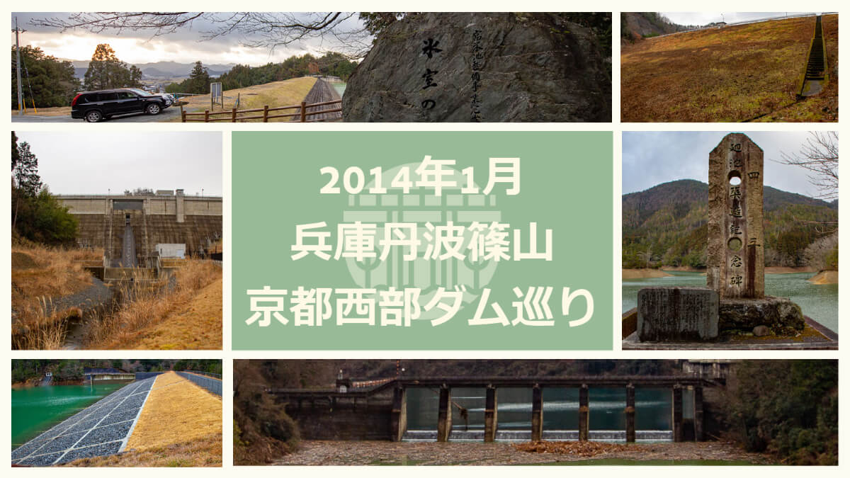
On this day, I toured dams in Tanba-Sasayama, Hyogo Prefecture and western Kyoto Prefecture as my first dam visit of the year. Overall, there are a lot of earth dams, and the tour is a bit more professional-oriented, but there are also famous concrete dams such as the Hatagawa Dam and the Hiyoshi Dam in between, so even those who are not so keen on earth dams can fully enjoy the course.
Also, upstream of the Hachimantani Dam is the prefectural Sasayama Forest Park, an area where children can play, so you may want to combine a tour of the dam with a visit to the park. However, Hiyoshi Dam has a roadside station and a vast park and hot springs downstream, so if you plan to play there as well, you should be careful to allocate your time carefully.
| Arrival time | starting (departure) time | the time required | length of one's stay | |
|---|---|---|---|---|
| 8:35 | A: Kyoto Longitudinal Expressway Chiyogawa IC | |||
| ↓ | 0:25 | |||
| 9:00 | 9:25 | B:Hachimantani Dam | 0:25 | |
| ↓ | 0:20 | |||
| 9:45 | 10:10 | C:Mikumari Dam | 0:25 | |
| ↓ | 0:30 | |||
| 10:40 | 11:10 | D:Hatagawa Dam | 0:30 | |
| ↓ | 0:05 | |||
| 11:15 | 11:25 | E:Hatakawawaki Dam | 0:10 | |
| ↓ | 0:20 | |||
| 11:45 | 14:40 | F:Hiyoshi Dam (including lunch) | 2:55 | |
| ↓ | 0:10 | |||
| 14:50 | 15:10 | G:Segi Dam | 0:20 | |
| ↓ | 0:10 | |||
| 15:20 | 15:30 | H:rotary pond | 0:10 | |
| ↓ | 0:05 | |||
| 15:35 | 15:50 | I:Nishigaya Dam | 0:15 | |
| ↓ | 0:10 | |||
| 16:00 | 16:20 | J:.Fuei Pond | 0:20 |
Route Map
Accommodations that may be just right for this route
Pointers
- Arrival and departure times are calculated based on the Exif data of the photos.
- For locations not photographed other than the dam, calculations are based on analogies from before and after.
- Please consider the time required and length of stay as a guide only.
- Dam tours can be dangerous. Please follow the directions given by road signs and on-site information signs.
- This site will not be held responsible for any problems that may occur through this dam tour.

Comment