

Location: Gono, Ono-shi, Fukui Prefecture (Date of interview: 2010/07/30)
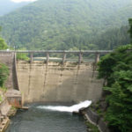
View of the embankment from downstream on the right bank

A long time ago, Fukui seemed quite far away, but thanks to the construction of the Tokai-Hokuriku Expressway and the Aburasaka Pass Road, it has become much closer. Now that the Nagoya Expressway Ichinomiya line is connected, it takes less than two hours to reach Fukui from Nagoya.
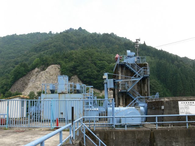
So, the main subject of the dam. The Yamahara Dam is a power generation-only dam owned by J-Power Development, and hydroelectric power is generated at the Yugami Power Station downstream.
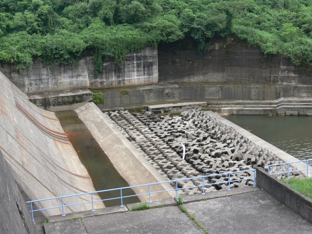
View of flood discharge, gate, fish passage, etc. from downstream on the right bank
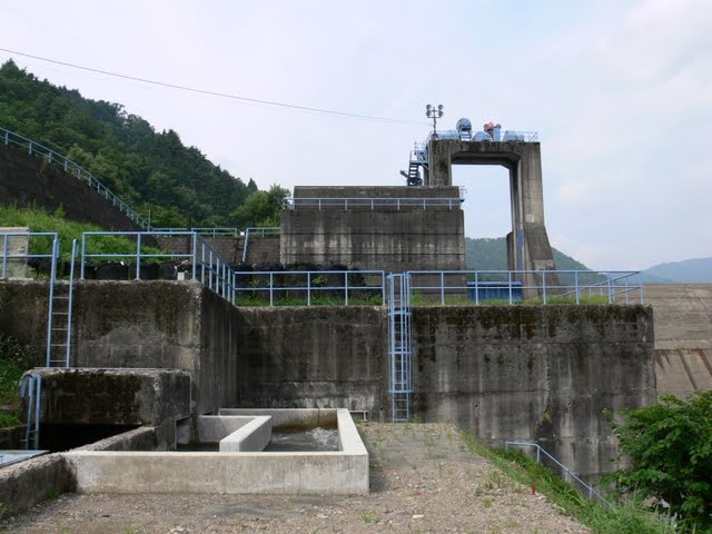
It seems to be a compact and variously put together. The gate is long and narrow. The fishway looks like it was recently repaired because the concrete is new, but I doubt it.
View of the embankment from downstream on the right bank
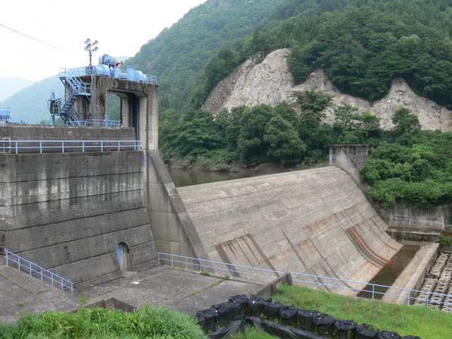
Most of the embankment is a natural overflow emergency flood discharge. If the water were to be discharged from here, you would be able to sense the beauty of the place. This dam reminds me of the Komori Dam in Okutone, Gunma Prefecture.
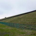
View of the top edge from the right bank
Unfortunately, the top cannot be seen because the structure is located on the side of the road that can be easily accessed. Well, this is just the way it is.
Entrance to the top of the right bank
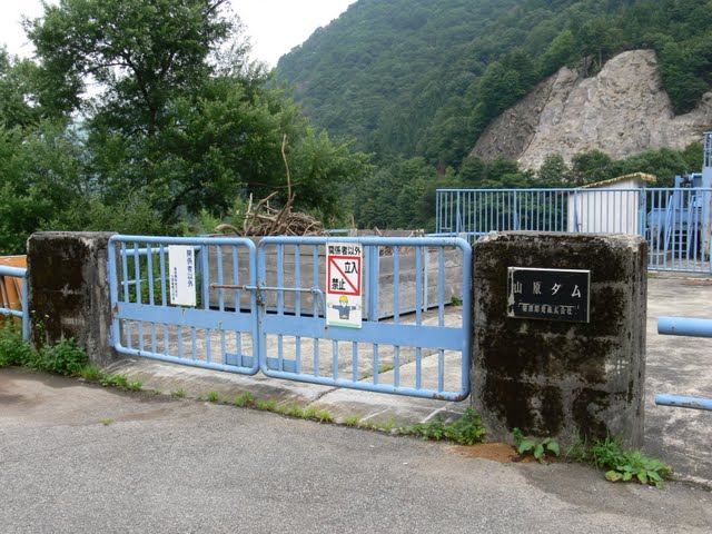
It is even more unapproachable like this.
View of the reduction work from the right bank
I like the curve of the tip of the flood discharge! I fell in love with it here for a while~. The contrast of the roughness of the concrete blocks beyond it is also good.
Looking downstream from the right bank
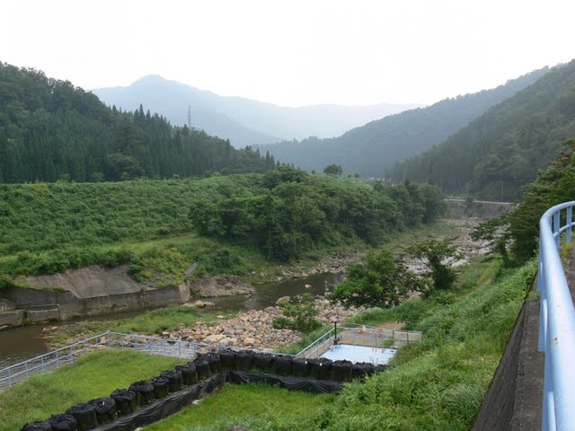
Ahead on the right is "Michi no Eki Kuzuryu" (Road Station Kuzuryu), and on the left are the Washu Dam and the Kuzuryu Dam.
dam characteristics
| River Name | Ishitashira River, Kuzuryu River System |
|---|---|
| Objective | generation (e.g. power) |
| Model | gravity-fed concrete dam |
| Bank height | 23m |
| Bank length | 114.6m |
| Dam volume | 23,000m3 |
| Watershed Area | 142.7 km2 |
| Reservoir area | 13 ha |
| Total storage capacity | 900,000m3 |
| Effective water storage capacity | -m3 |
| Dam operator | Power Development Co. |
| Main body constructor | Maeda Corporation |
| Year of launch | 1965. |
| Year Completed | 1968. |
Other facilities/observations
Although deep in the mountains, the dam is located along a relatively wide road with one lane on each side, and there is not much traffic, so it is a quiet dam. In winter, it is expected to be covered with snow, and I would like to visit the Yamahara Dam in such a season.
| Parking lot | × |
|---|---|
| Toilet | × |
| Park | × |
| PR Exhibition Hall | × |
| Fishing | × |
Comment