
Date of interview: 2006/02/19
Location: Takeori, Makenami-cho, Ena-shi, Gifu-ken
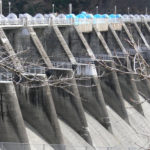
Flood discharge
This is the angle from which you can see the dam. This is a dam for disaster prevention, but there is no sign that says it is off-limits (I think), so you can just walk right in. Incidentally, it is sometimes referred to as the "Takeori Dam" on maps.
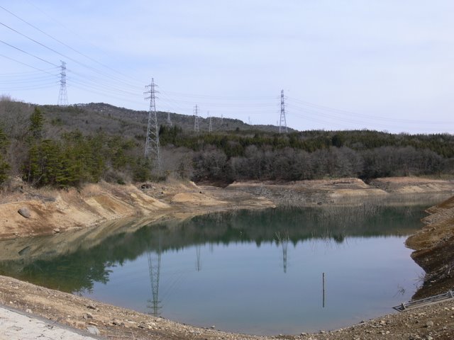
View of the dam lake from the flood discharge
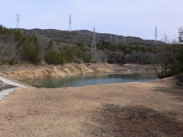
The water in the dam lake was low, and although it was winter time, I don't think the water had been discharged from the flood discharge for several months.
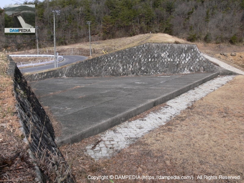
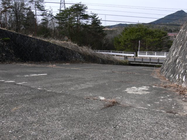
View of flood discharge

It is a very strange sight. The road runs along the middle of the embankment as if it were attached to the middle of the embankment. The distance between the bridge and the flood discharge ramp is short, so when the water is discharged, you will be able to see it very closely. I don't think a large amount of water will be discharged, but if there is a large flood, it may turn into a river on the road.
Undeniably, we are in a flood discharge.
This is not a plaza with a lawn. Undeniably, this is the inside of a flood discharge.
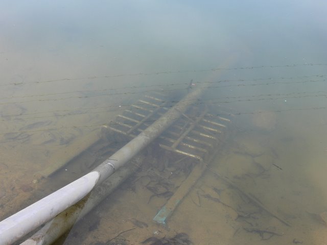
intake pipe

It is probably an agricultural intake pipe, but details are unknown.
View of the embankment on the lake side of the dam from the left bank
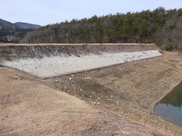
It is an earth dam, but the embankment on the lake side of the dam is covered with blocks. However, it does not reach the bottom of the lake at all.
View of the dam lake from the left bank

How fragile and lonely a dammed lake in winter is.
Facilities for water intake
It appears to be a facility for water intake, but we do not know what it is.
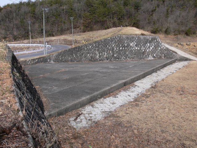
View of flood discharge
We have finally entered the main body of the flood discharge. It looks like I can go downstream at this point.
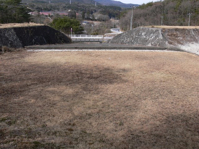
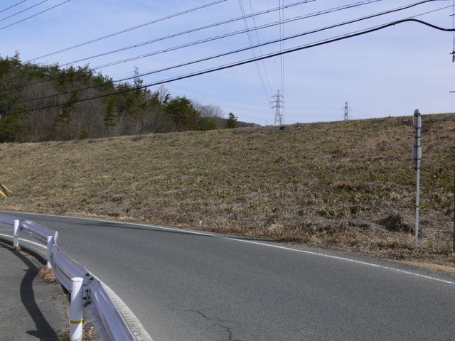
From the flood discharge (!) View of the levee
Such an angle would be rare.
From the flood discharge (!) View of the dam lake
I wonder what the scene is like in the summer. I would also like to see them storing water in abundance and releasing it when they can't store it anymore.
View of the levee on the downstream side
This is the upper part of the embankment, which looks like an ordinary embankment.
View of the conduit wall
And this is the downstream side. It is surprisingly high and sloping.
dam characteristics
| River Name | Shonai River system Takeori River |
|---|---|
| Objective | Flood control, agricultural disaster prevention |
| Model | earth dam |
| Bank height | 17.2m |
| Bank length | 110m |
| Dam volume | 45,000m3 |
| Watershed Area | 1.6 km2 |
| Reservoir area | -ha |
| Total storage capacity | 245,000m3 |
| Effective water storage capacity | 119,000m3 |
| Dam operator | Gifu prefecture (Chuubu area) |
| Main body constructor | - |
| Year of launch | 1956 |
| Year Completed | 1958 |
Other facilities/observations
| Parking lot | × | This is a core property. Recommended for earth dam moe. It is not available for driving, but it may only be used to heal a broken heart on a solo drive. It is not likely to be used on a date, but might be good for a couple to enjoy fishing together. |
|---|---|---|
| Toilet | × | |
| Park | × | |
| PR Exhibition Hall | × | |
| Fishing | ○ |
Comment