
Location: Higashinikuchi, Hakusan City, Ishikawa Prefecture
The Tedori River Dam is one of the most prominent rock-fill dams in Japan,Ranked 5th in Japan among fill dam embankment volume rankingsIt ranks fourth in Japan in terms of embankment height for a rockfill dam. As one would expect5th placeIt's so big because it's only 4th place.
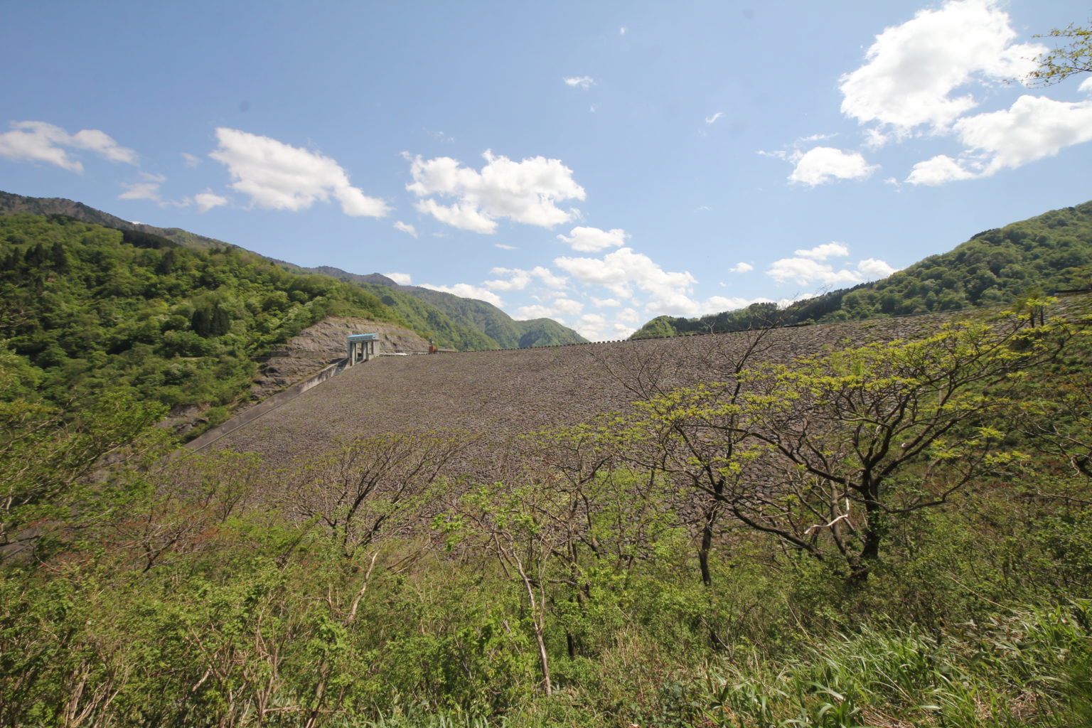
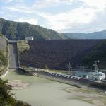
View of the embankment from the left bank
For this report, we arrived from Kanazawa via Route 157. The area around the dam is rich in tourist attractions, such as the Hakusan Super Ring Road, so the dam is also a tourist attraction and has a drive-in element.
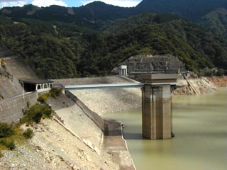
water intake
View of the embankment from the left bank
It is the tallest dam I have been to so far. However, I personally prefer arched concrete dams to rockfill dams, so I felt that something was still missing.
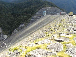
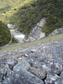
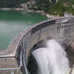
View downstream from the levee
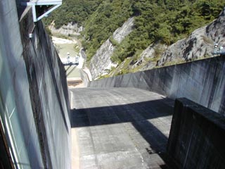
View downstream from the gate
The gate was off limits and there was even an intrusion alarm system. I managed to avoid it and took some photos.
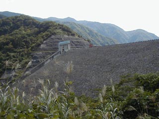
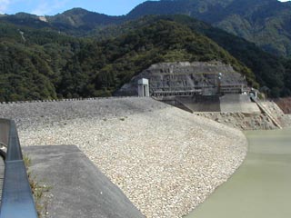
View of the dike from near the water intake
Tedorigawa Dam Exhibition Hall
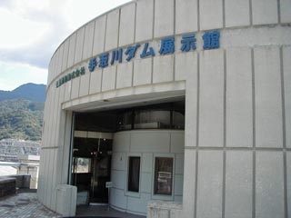
*Tedori River Dam Exhibition Hall has closed.
dam characteristics
| Model | Central soil barrier rockfill dam |
| Bank height | 153.0m |
| Bank length | 420.0m |
| Dam volume | 10,050,000m3 |
| Watershed Area | 428.4 km2 |
| Reservoir area | 525ha |
| Total storage capacity | 231,000,000m3 |
| Effective water storage capacity | 190,000,000m3 |
| Year Completed | 1979 |
Other Facilities
| Parking lot | ○ |
| Toilet | ○ |
| Park | ○ |
| PR Exhibition Hall | ○ |
Comment
施工 前田青木j.v. 土量1000万立米