
Date of interview: Sunday, 04/20/2014
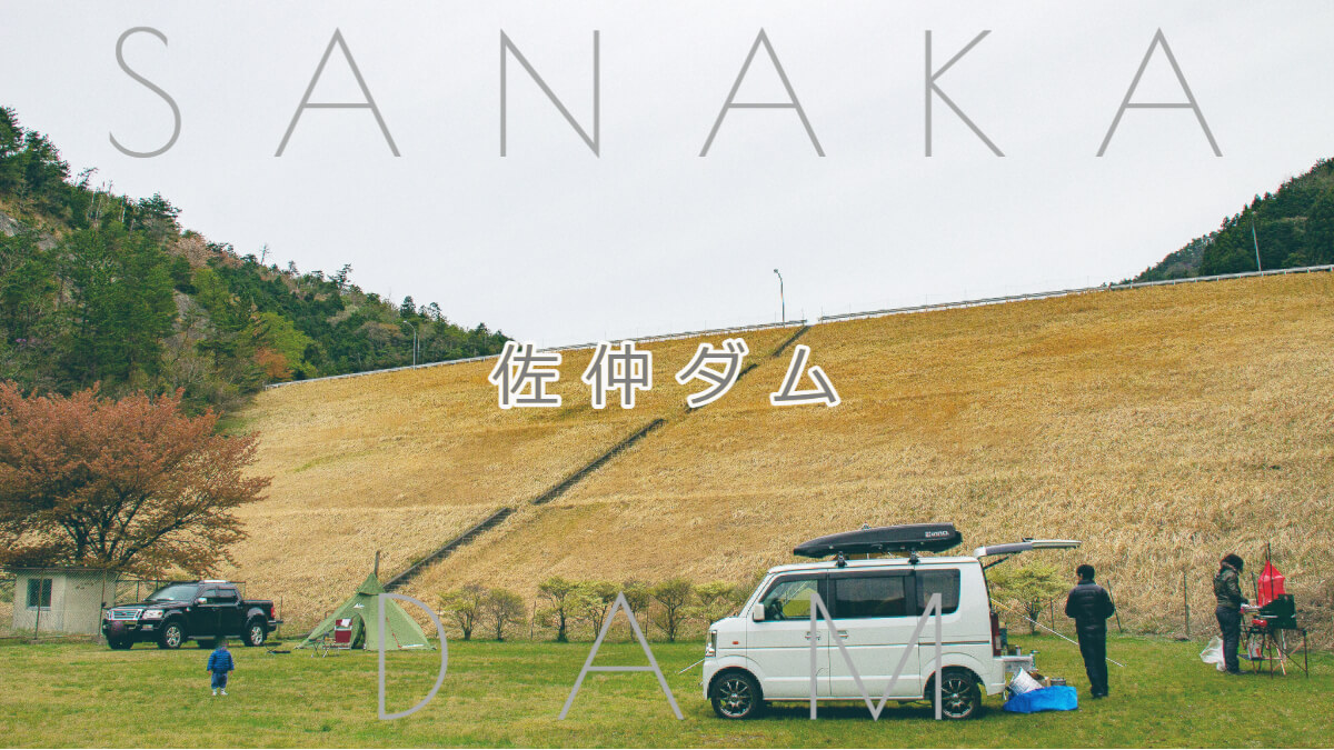
Sanaka Dam is an earth dam for irrigation in Tambasasasayama City, Hyogo Prefecture, and is one of four dams (Sanaka Dam, Tsubakuichi Dam, Hachimantani Dam, and Fujioka Dam) constructed as part of the prefectural irrigation and drainage project as part of the Sasayama River Coastal Land Improvement Project Plan.
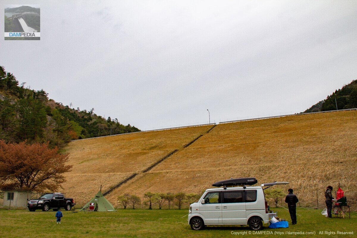
downstream face of embankment
しっかりと草刈りがされていてきれいな堤体下流面です。また下流はハイマート佐仲というオートキャンプ場があり、この日も多くのキャンパーで賑わっていました。正直写真が撮りづらい💦
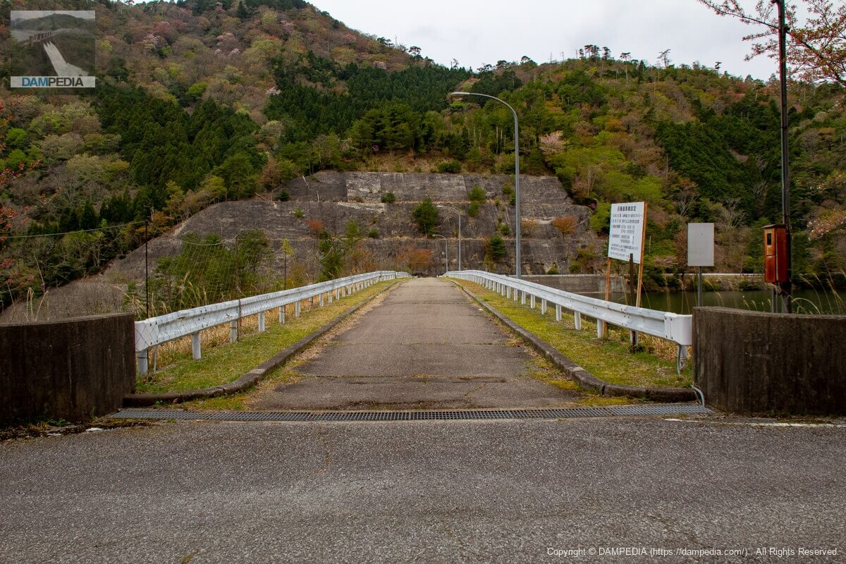
View of the top edge from the left bank
This is the top of the mountain where you can feel the afterglow. Incidentally, although cars are allowed to pass through the skyline, the right bank road seems to have turned into a dirt road from the halfway point, so it is not recommended to drive there.
Looking downstream from the top
The auto campground downstream that makes you wonder how you were in that place earlier. At night, the campers' lights seem to create a fantastic atmosphere.

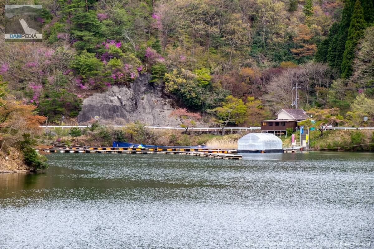
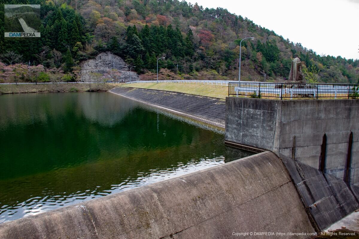
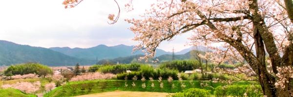
View of the dam lake from the top
This is a small reservoir. The small white building on the right side of the photo is the water intake facility, and the Sanaka Dam fishing pier can be seen in the back.

View of the water intake system from the top
The water intake system is a common slant-flume type.

Sanaka Dam Fishing Area
There is a managed fishing area upstream of the reservoir that can be enjoyed in combination with camping. It is said that spoonbills and wakasagi can be caught.
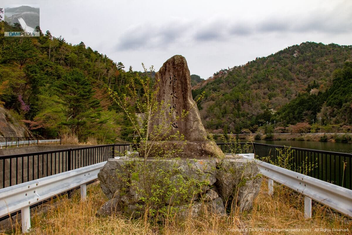
Stone monument "Shimizu Renshin
A stone monument erected to commemorate the completion of the Sanaka Dam. It appears to have been written by the governor of Hyogo Prefecture at the time.
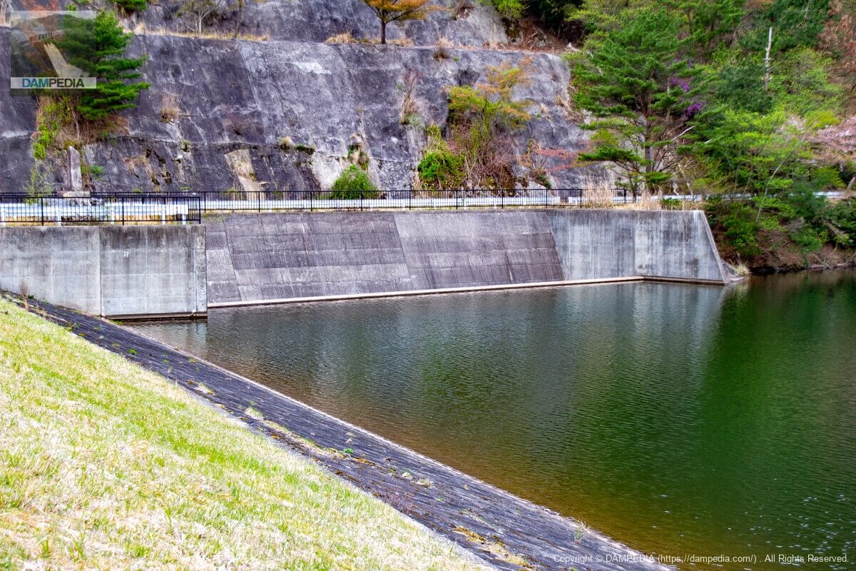
View of the spillway from the top
The spillway is a side channel type of the type often seen in earth dams.
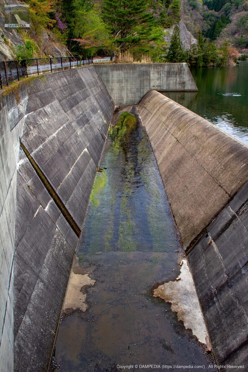
View of the conduit from the top edge
The spillway is located on the right bank. The spillway is usually built on top of the ground, but it is hidden from view, perhaps because it is easy for plants and trees to grow.

View of the spillway from the top
It is a relatively clean afterdrainage basin, although moss is growing on it.
View of the upstream face of the embankment and the spillway from the right bank
A stone monument can be seen between the spillway and the embankment, which may have been made this way due to the presence of a landslide up to this point.
It is a very ordinary earth dam for irrigation, but it was a Sanaka Dam where camping, fishing, and other recreational activities can be enjoyed.
Sanaka Dam Specifications
| Location | Kosaka, Tamba Sasayama City, Hyogo Prefecture |
| River Name | Kosaka River, Kako River system |
| Objective | A (irrigation water) |
| Model | E(earth dam) |
| Bank height | 38.9m |
| Bank length | 144m |
| Dam volume | 282,000 m3 |
| Watershed Area | 2km2 |
| Reservoir area | 4 ha |
| Total storage capacity | 505,000 m3 |
| Effective water storage capacity | 450,000 m3 |
| Dam operator | Hyogo prefecture (Kinki area) (Hyougo) |
| Main body constructor | - |
| Year of launch | - |
| Year Completed | 1967. |
| Name of Dam Lake | 1978 |
Other facilities/observations
There is no parking lot, so you will have to park on the shoulder of the road. You will probably have to use the restrooms at the campgrounds and managed fishing areas. Fishing without permission is prohibited as fishing rights have been established.
| Parking lot | × |
| Toilet | ○ |
| Park | ○ |
| PR Exhibition Hall | × |
| Fishing | ○ |
Map around Sanaka Dam
Weather around Sanaka Dam
Accommodations that may be close to Sanaka Dam

Comment