
Date of interview: Sunday, March 24, 2013
This Asahi Dam was the next dam we visited after the Sarutani Dam for our mission to pick up the dam enthusiast helmets that had been completed to the Nanashiki Dam.
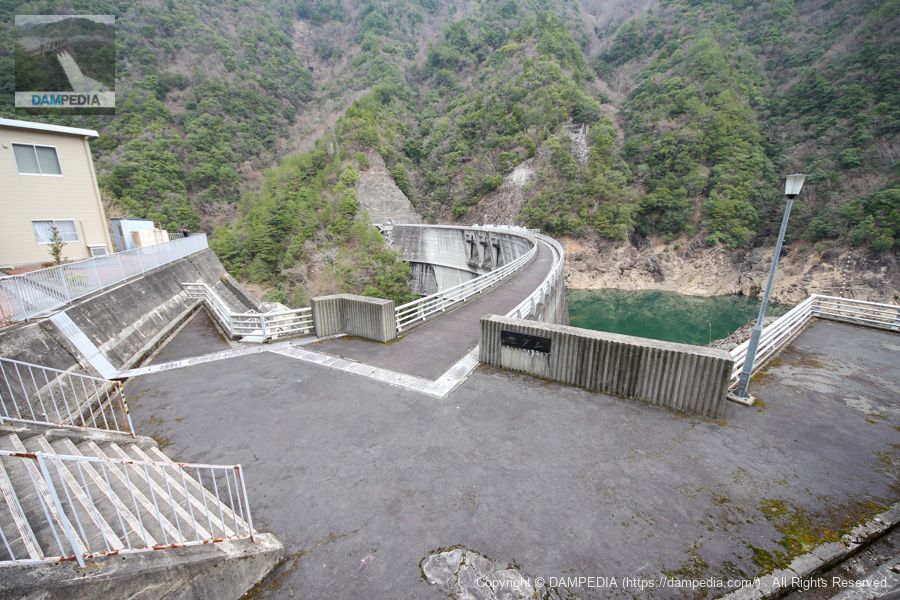
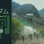
Downstream view of the levee from the left bank
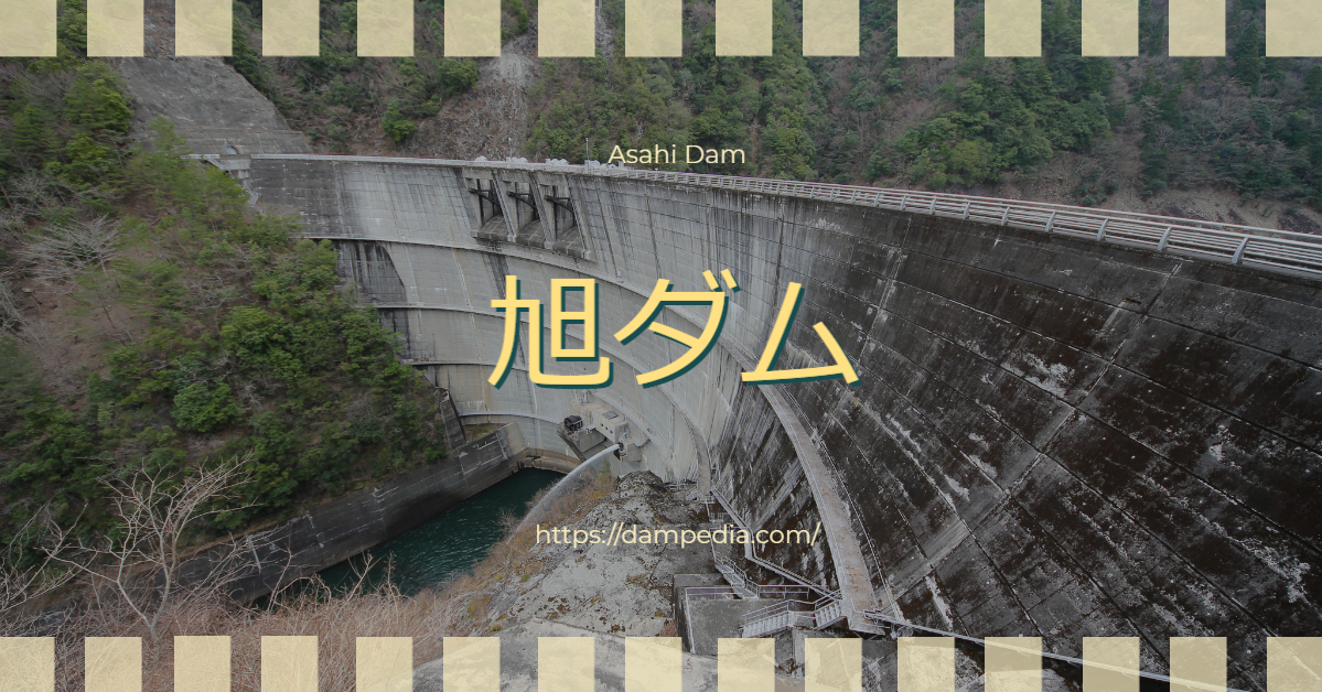
When you arrive, you will see the Asahi Dam spreading its large wings. Unfortunately, however, the top end of the dam is off-limits. It is a waste of a good arch. Discharging water to maintain the river was being done through the conduit gate.

There is a rock-fill dam called Seto Dam across the mountain on the right bank. The Okuyoshino Power Plant generates 1,206,000 kW of pumped storage power using the reservoir of Seto Dam as the upper reservoir and that of Asahi Dam as the lower reservoir.
The Seto Dam is completely off-limits and visitors are not even allowed to approach it like the Asahi Dam. In the past, visitors were allowed to visit the dam, but since the Kii Peninsula Flood that caused the collapse of the access road, it is no longer open to visitors.
Asahi Dam Management Station
The control center is located on the left bank overlooking the dike.

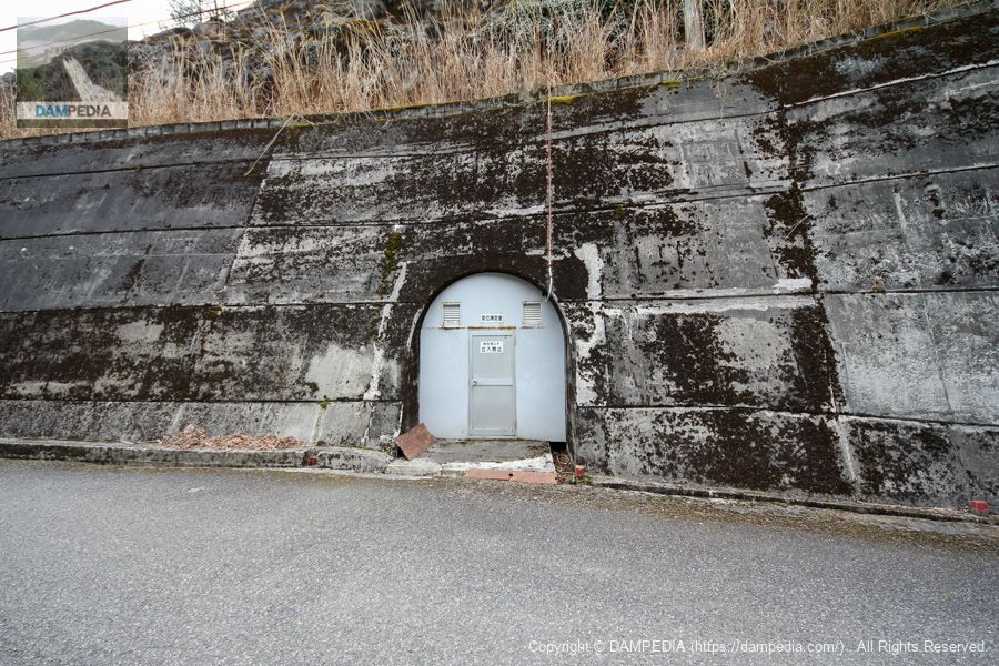
Displacement Measurement Room
Plumb line? I thought so, but since it is a rim tunnel, it may measure the displacement of the bedrock rather than the embankment.
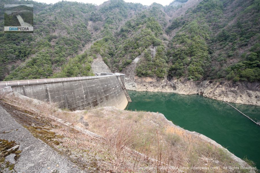
View of the top edge from the left bank
The top edge is a little lower than the road. Ugh, it is like killing a snake alive by not being able to get close enough to the embankment, but it can't be helped.
View of the upstream face of the embankment from the left bank
The upstream surface is full of dome arch-like features.
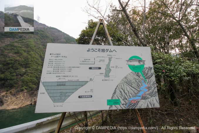
Local Signboard
A signboard with specifications and other information is in place. Unfortunately, Asahi Erehouse, the Okuyoshino Power Plant PR building, was closed in 2014. We would very much like to see the Erehouse reopened in conjunction with public tours of the Seto Dam.
It was the Asahi Dam, a solitary arch dam deep in the mountains of Okuyoshino.
Asahi Dam Specifications
| Location | Nakayamashita, Asahi, Totsukawa-mura, Yoshino-gun, Nara |
| River Name | Shingu River System Asahikawa |
| Objective | P(Power generation) |
| Model | A(arch dam) |
| Bank height | 86.1m |
| Bank length | 199.4m |
| Dam volume | 147,000m3 |
| Watershed Area | 39.2 km2 |
| Reservoir area | 56 ha |
| Total storage capacity | 16,920,000m3 |
| Effective water storage capacity | 12,500,000m3 |
| Dam operator | Kansai Electric Power Co. |
| Main body constructor | set of staggered shelves |
| Year of launch | 1971 |
| Year Completed | 1978 |
| Name of Dam Lake | Asahi Reservoir |
Other facilities/observations
| Parking lot | ○ |
| Toilet | × |
| Park | × |
| PR Exhibition Hall | × |
| Fishing | ? |
Comment