
Date of interview: Saturday, 1/26/2013
There are several unusual dams in Osaka, and this Toyourayama Pond was of particular interest because of its unusual location. Initially, it was listed as an unconfirmed dam, but someone was able to locate it in the dam handbook operated by the Japan Dam Association, which allowed us to visit it without incident.
Its location is on the old Route 308 on Mt.dark passThis old national road is what is called a bad road, and it is also a terrible road.
Steep hairpin curve on the severe road No. 308
This severe road, Route 308, is extremely steep. The width of the road is quite narrow and it is difficult to separate from each other, but I am used to narrow places, so there is no problem. The road surface is well maintained without being bumpy or muddy, but it is just very steep.

Flat intersection with Osaka Prefectural Forest management road
Osaka Prefectural Forest extends to Mt. Ikoma, and there is a section where its administrative road intersects with the severe road No. 308. Naturally, there are many hikers. Even so, I feel as if my body is going to roll by itself according to the law of gravity just by taking a picture.
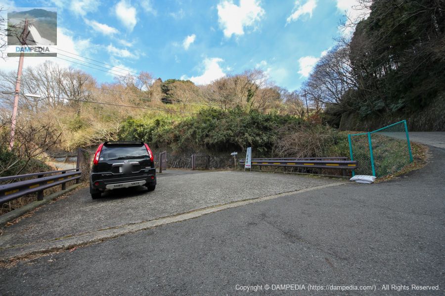
park your car on the shoulder of the road
I was allowed to park my car here. When I got out of the car, there was a slight burnt smell coming from the car, but that must have been how much stress I put on the engine.
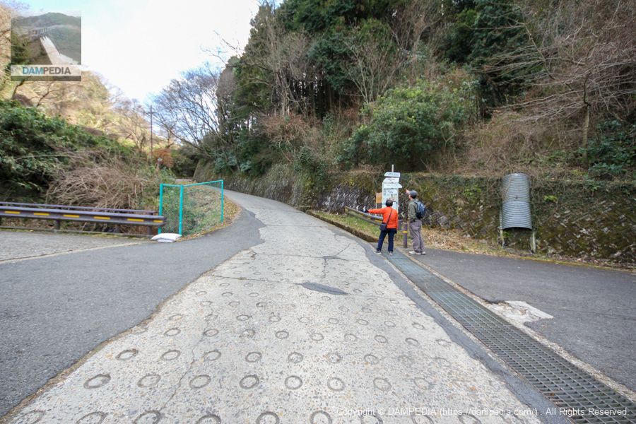
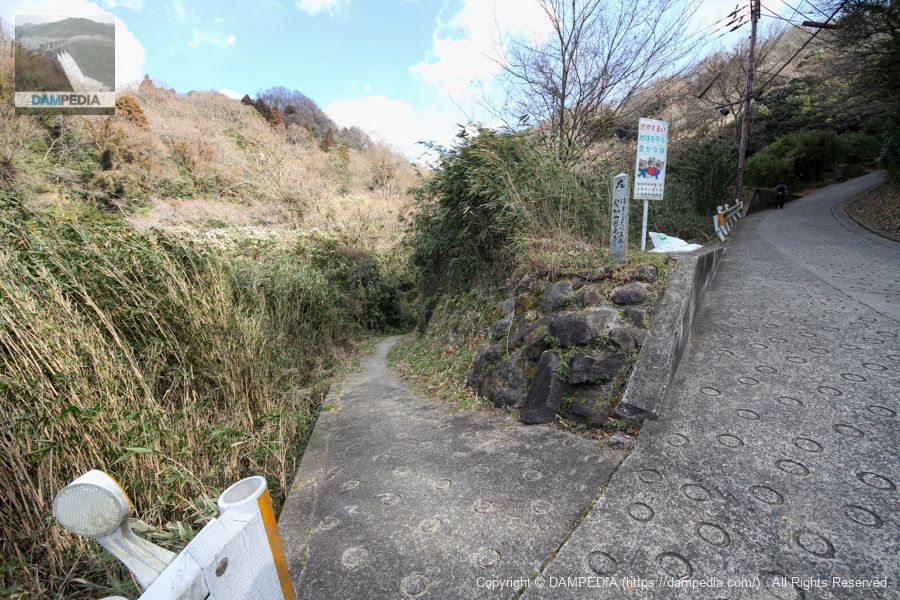
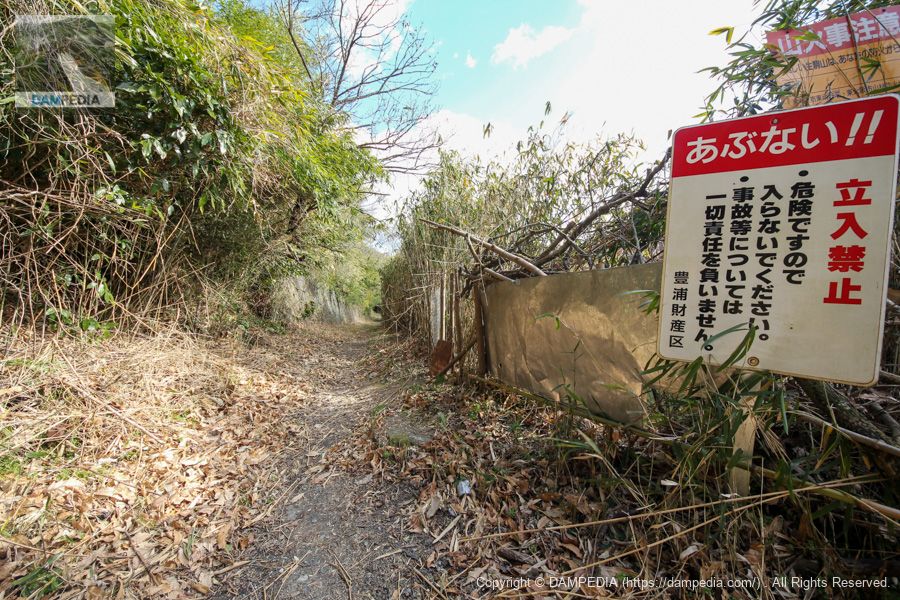
Signposts built on a bad road
A road signpost has been erected on the busy road, which marks the path leading to the Toyoura Mountain Pond. The signpost reads "Right: Kuragari Pass, Left: Hottogisu Meisho, Kakiriyama Jikouji Temple. What is the landmark of this...
Road leading to Toyoura Mountain Pond
There is a narrow path to the left of the signpost. This is the path leading to the Toyoura Mountain Pond.
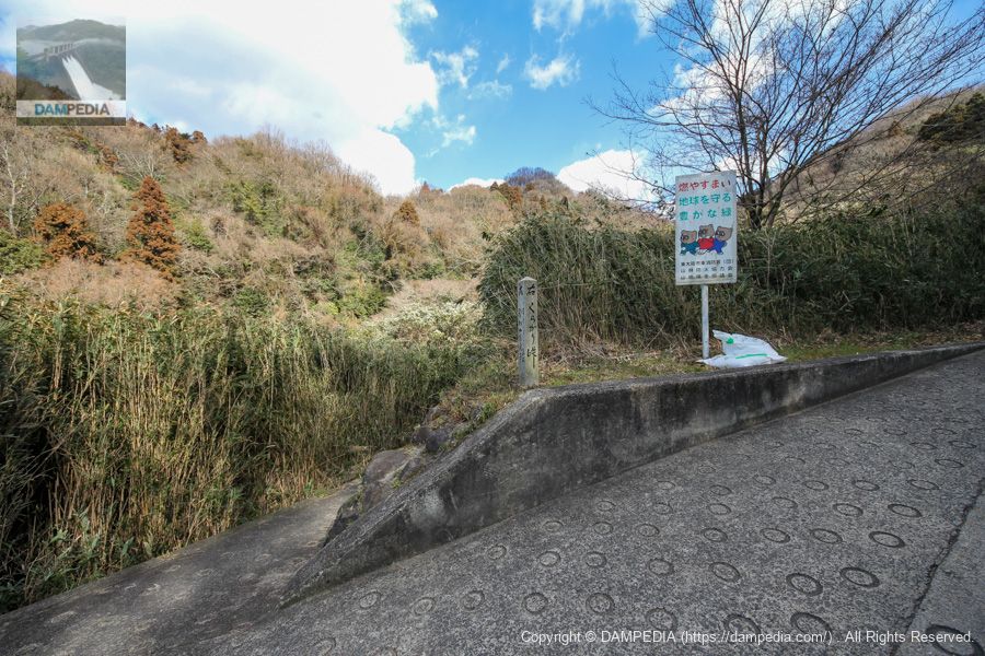
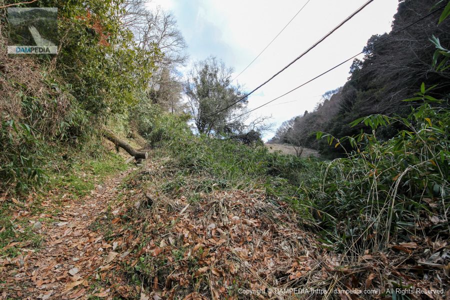
Streams that make you feel quite uneasy on the way.
There are streams along the way that make you wonder if they are collapsing.

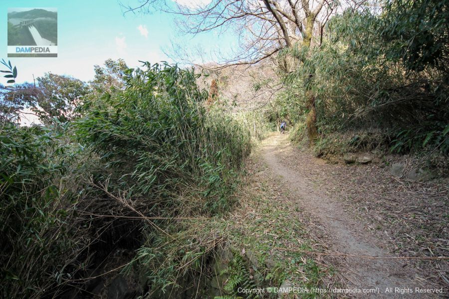
A little mountain trail
People seem to walk there, and it is a bit of a trail.
Sudden artifacts
Suddenly, a structure with human intervention comes into view.
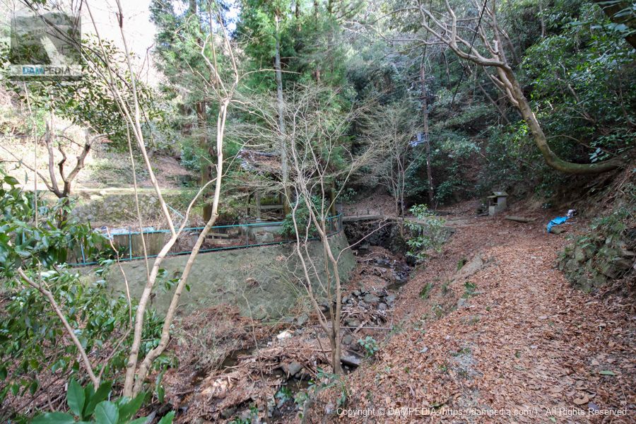
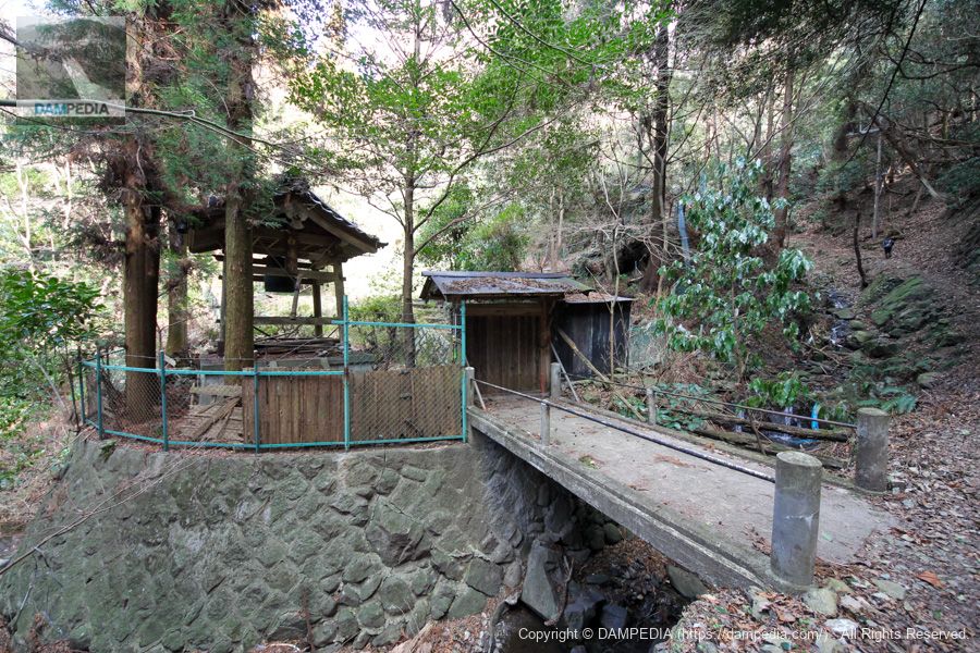
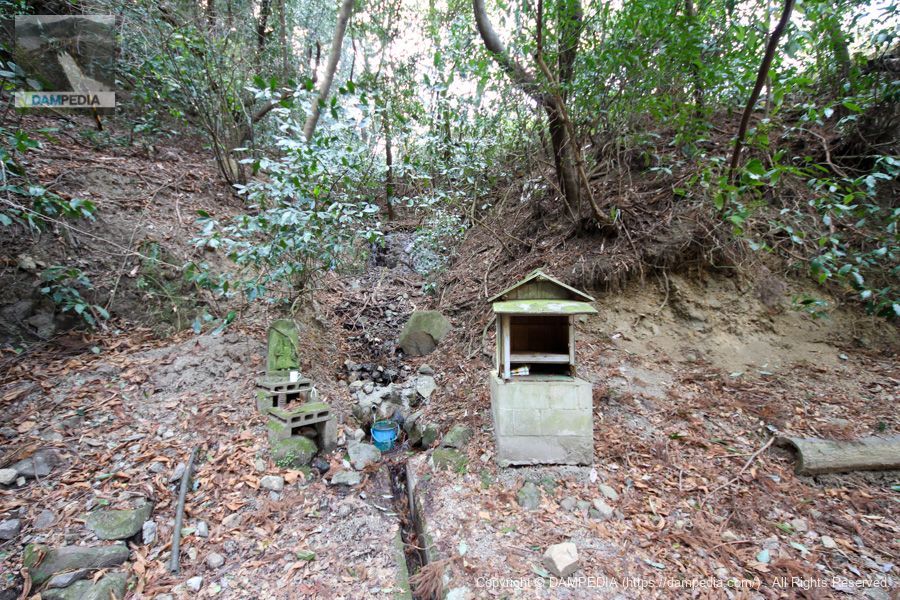
Closed temple Hakurenji Temple
Google Maps shows the temple as Hakurenji, but it appears to be a closed temple.
Jizo standing by the side of the mountain road?
There is a shrine on the side of the mountain road on the opposite side of the abandoned temple, but there is nothing here. However, this Jizo is not likely to be Jizo Bosatsu (Jizo Bodhisattva) because he is holding something like a sword. It seems to be Fudo Myoo or Monju Bosatsu, but I do not know exactly because I do not know much about them.
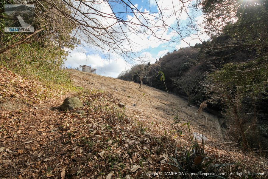
Climbing steadily
It is quite strenuous. We climbed further, out of breath.

Flood discharge end?
It is hard to see in this photo, but you can see a concrete structure on the right side. It appears to be part of a flood discharge.

What looks like a levee...!
You can see what looks like an embankment in the upper right corner. Still, it is quite a path, with logs falling down.
Downstream view of the levee from the right bank
We finally arrived. It was a long walk from the bad road, but I think it took about 10 minutes or less. If you are fit, you may be able to get there sooner.
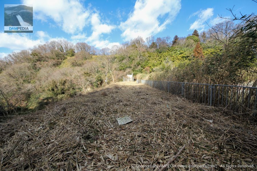
Right bank dam site
There are traces of weeds that have been cut, so it appears that the area is regularly maintained. Incidentally, "No Trespassing" seems to indicate the dam lake side beyond the fence.
View upstream of the right bank road
It was tough for those who lack exercise, but it is still a very enjoyable path. It leads to "Hottogisu Meisho Hashikiriyama Jikoji Temple," as written on the road sign.
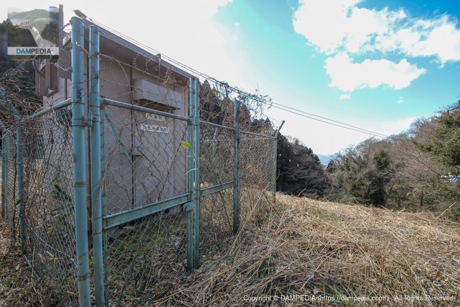
Osaka Pond Observation Station
Osaka Prefecture has installed such observation stations in reservoirs to measure water levels and rainfall in real time.
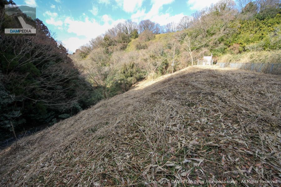
View of the top edge from the right bank
The top edge was also well mowed. It seems that mowing is also done as part of disaster prevention and mitigation measures.

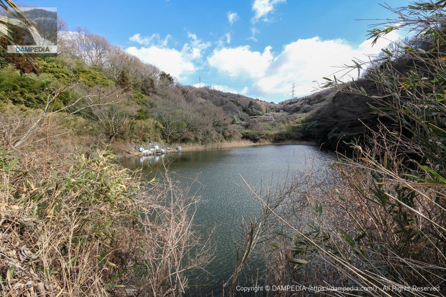
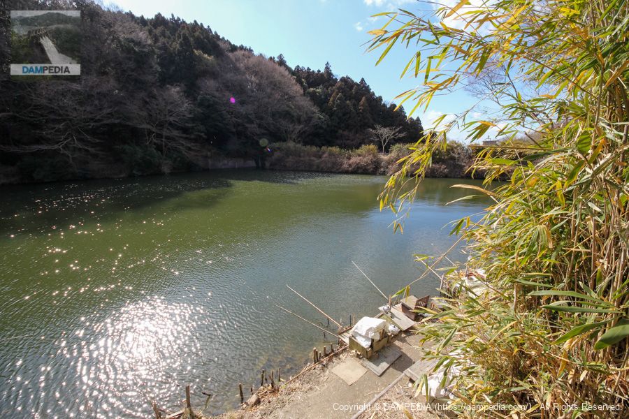
View of the dam lake from the top
It is a small reservoir, so the backwater is easily visible.
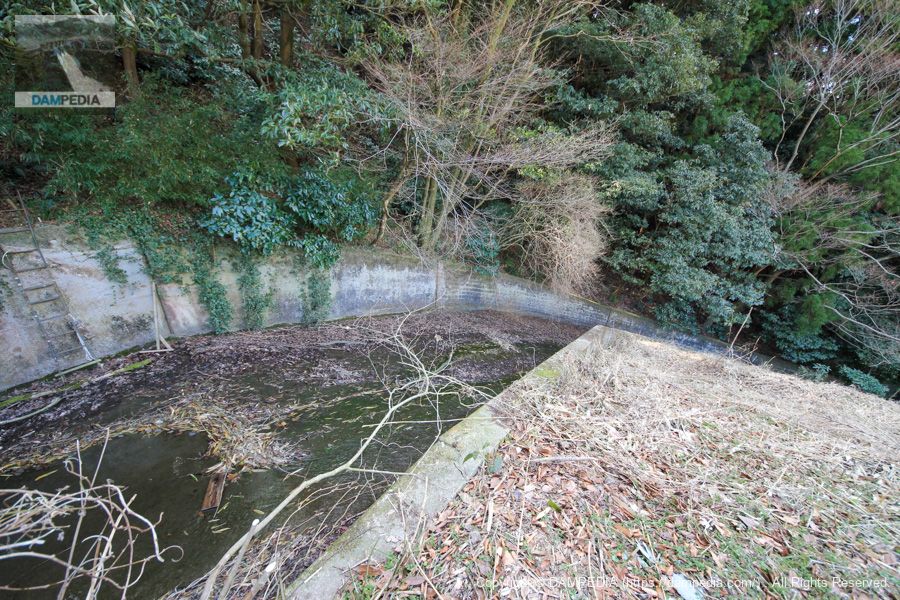
View of flood discharge
A flood discharge is located on the left bank.
View of the levee downstream from the left bank
The embankment height is 15 meters, which is just barely defined as a dam under the River Law, but in this way, it seems quite high.
View of the top edge from the left bank
The top edge and the downstream side are well mowed, but the upstream side is left untouched. It may be that the upstream side is left as it is on purpose to prevent people from entering the area.
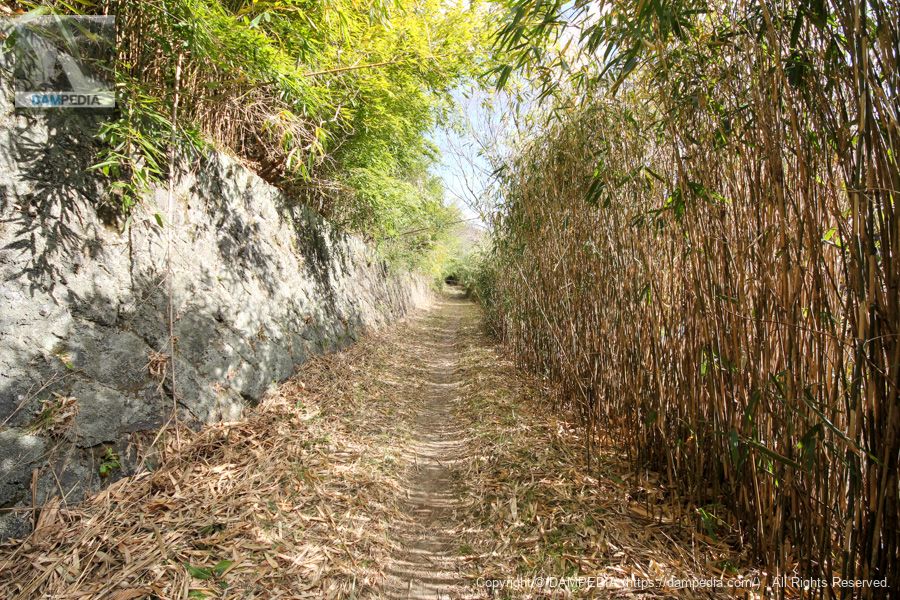
Proceed upstream on the right bank road.
This scenery is hard to see on a normal dam tour. The far side is like a tunnel of bushes.
View of the dam lake and the upstream face of the embankment from the right bank road
It seemed to be a fishing spot, and there were chairs and rods set up like a permanent installation, probably by local regulars.
The Toyoura Mountain Pond was a troubled access to the area.
I am not sure if I would revisit, but the steepness of the dark pass, the hairpin, and the mountain road to Toyoura Mountain Pond are enjoyable, so I might revisit if I feel like it (lol).
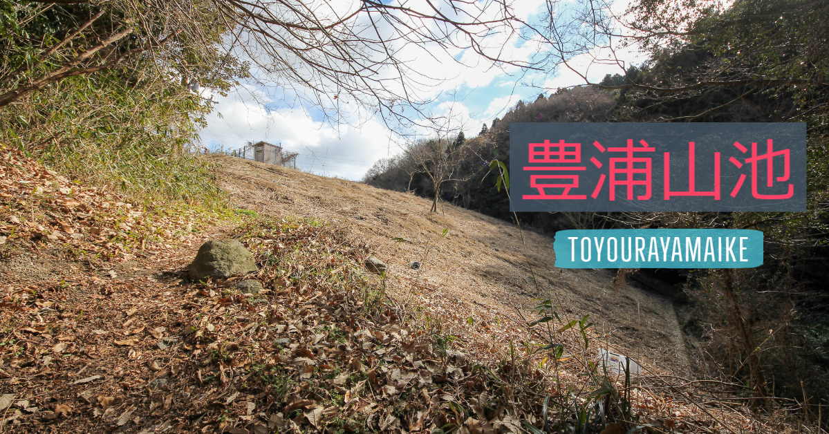
Toyoura Mountain Pond
On the dam handbook, the river name is treated as "Onchi River, Yodogawa River System," but since the river flowing along the severe road is named Toyoura River and the headwaters of the Onchi River are located quite far away, I personally think that the name may be Toyoura River or another name for a tributary of the Toyoura River.
| Location | Higashi Toyoura-cho, Higashiosaka-shi, Osaka |
| River Name | Onchi River, Yodo River system |
| Objective | A (irrigation water) |
| Model | E(earth dam) |
| Bank height | 15m |
| Bank length | 64m |
| Dam volume | 16,000m3 |
| Watershed Area | - |
| Reservoir area | - |
| Total storage capacity | 50,000m3 |
| Effective water storage capacity | 50,000m3 |
| Dam operator | Higashi-Osaka City |
| Main body constructor | Directly managed by dam operator |
| Year of launch | - |
| Year Completed | 1952 |
| Name of Dam Lake | - |
Other facilities/observations
| Parking lot | × |
| Toilet | × |
| Park | × |
| PR Exhibition Hall | × |
| Fishing | ○? |
Map around Toyoura Mountain Pond
Accommodations that may be close to Toyoura Mountain Pond
The route to Toyoura Mountain Pond is based on an article in the Dam Handbook.

Comment