
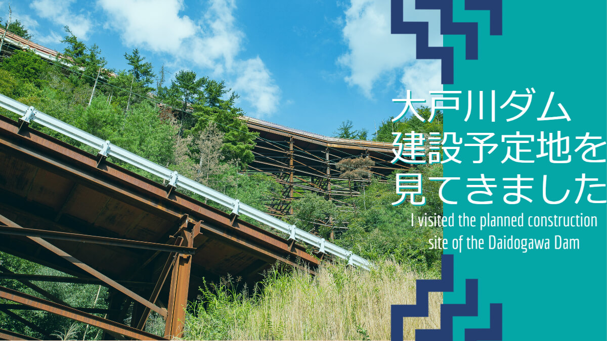
More than two weeks have passed since the vaccination against the new coronavirus, and now that the state of emergency has been lifted in many areas, dam tours have finally resumed! So I decided to tour the dams in the Koto area of Shiga Prefecture.
After crossing the Kurakake Pass on Route 306 and looking around the Serigawa, Inukamigawa, and Uzogawa dams, we headed for the planned construction site of the Oto River Dam.
The preliminary investigation of the Oto River Dam began in 1968, the relocation of people in the submerged area was completed in 1998, and the construction of the replacement prefectural road began the following year. However, in 2000, the winds shifted in the direction of construction cancellation due to the fierce, caustic, and vehement dam bashing represented by the newly appointed governor of Nagano Prefecture's declaration to abandon the dam.
Finally, in 2005, the Yodogawa River System Basin Committee announced that it was appropriate to cancel five dams (Oto River Dam, Niu Dam, Yonogawa Dam, Kawakami Dam, and Amagase Dam Redevelopment), and in response, the Ministry of Land, Infrastructure, Transport and Tourism decided to cancel the construction of Oto River Dam.
However, this will naturally cause dissatisfaction from residents who have already been relocated. That is true. They did not originally want to move, but they sacrificed themselves for the sake of those who live downstream and made the difficult decision to relocate, and now their story will come to nothing.
The citizens of Otsu, who had been suffering from submergence due to the Setagawa river weir being fully closed every time a flood occurred, also protested against the cancellation of the dam's construction. It was said that the construction of the Ootogawa Dam would shorten the time required for full closure and possibly eliminate the need for full closure, so it is only natural that they would protest against the construction.
Then, in 2006, a professor at Kyoto Seika University, who had run for the Shiga Prefecture gubernatorial election on a platform of freezing the dam project, was elected. The project was completely cancelled. After that, he showed some softening of his policy on the abandonment of dams, but even after he retired as governor of Shiga Prefecture and became a member of the House of Councilors, he made some mysterious comments about whether the Kisenyama Dam, a pumped storage reservoir, could be used for flood control.
In 2019, the incumbent governor, who succeeded the governor who had left the dam, saw the recent torrential rains and changed his policy, stating that a dam would be effective as a flood countermeasure. The six prefectures downstream of the dam also changed their approval of the construction, and the construction of the Oto River Dam began again.
We decided to visit such a planned site of the Oto River Dam in order to see it before the main construction work started or the dam was submerged.
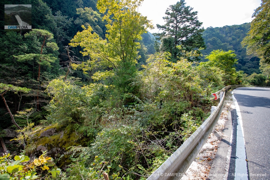
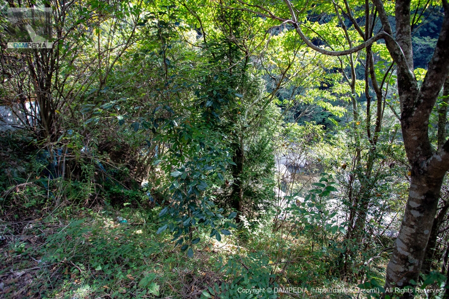
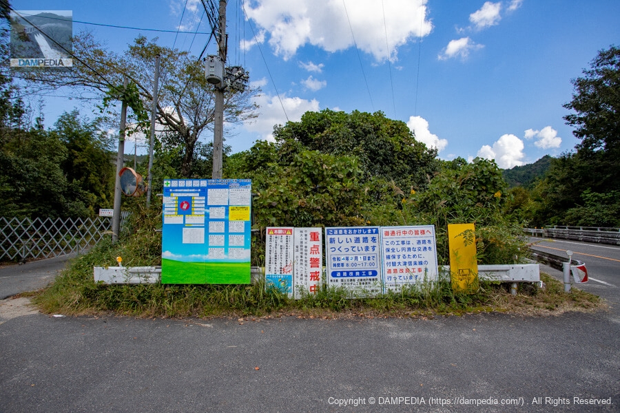
Oto River Dam construction site (from upstream to downstream)
There were no landmarks, so we arrived at this area. It was hard to make out the area due to overgrowth of trees and grass.
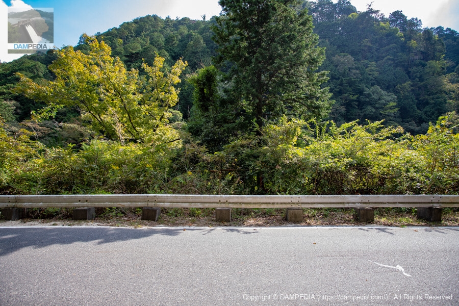
Downstream to upstream to downstream direction
I imagine a dam being built here and snap the shutter. Perhaps the upstream face of the embankment will rise high before my eyes.

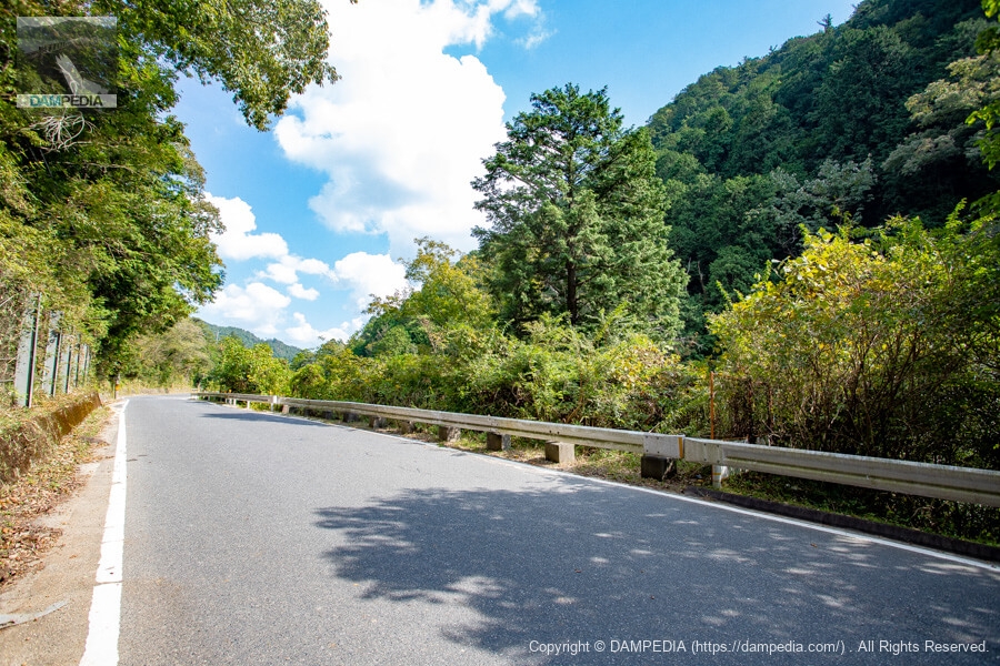
I think the dam axis is around here.
Perhaps the dam axis is here.
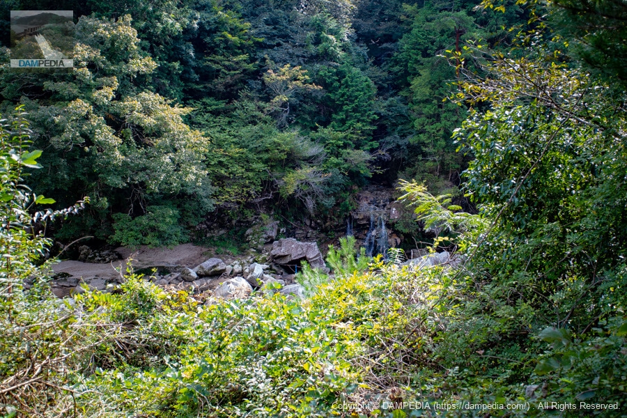
Looking downstream from upstream
I am sure they are looking at the downstream face of the dike now.
river in which worshippers wash their hands (and rinse their mouth) prior to entering a shrine
You can see the Oto River in the back, although it is hard to make out due to overgrown vegetation.
Looking upstream from downstream
Similar pictures follow. A tiger fence has been erected on the other side of the guardrail.

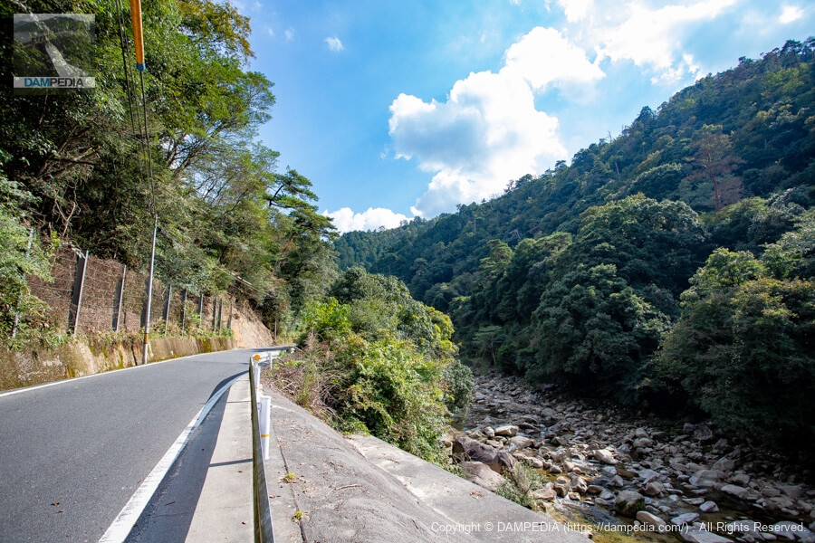
Stream flowing into the Oto River
It is a stream that empties into the Oto River, but it is a bit like a waterfall.
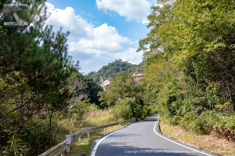
Looking upstream from a short distance away
The elevation of the prefectural road is about 200 m, and the current plan for the Oto River Dam calls for a top elevation of 252.5 m, which means that the top of the dam will be approximately 50 m above the ground level of the prefectural road.

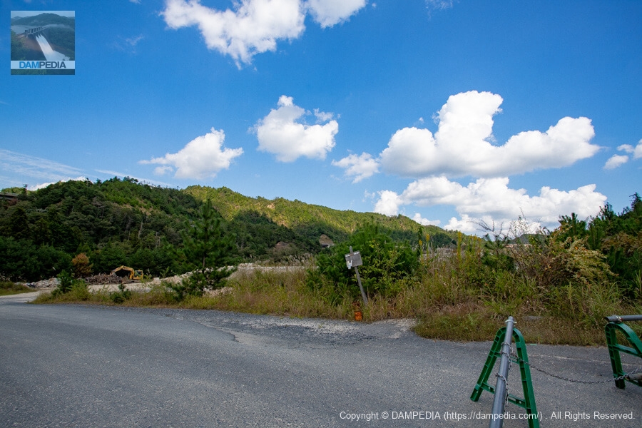
Looking further downstream
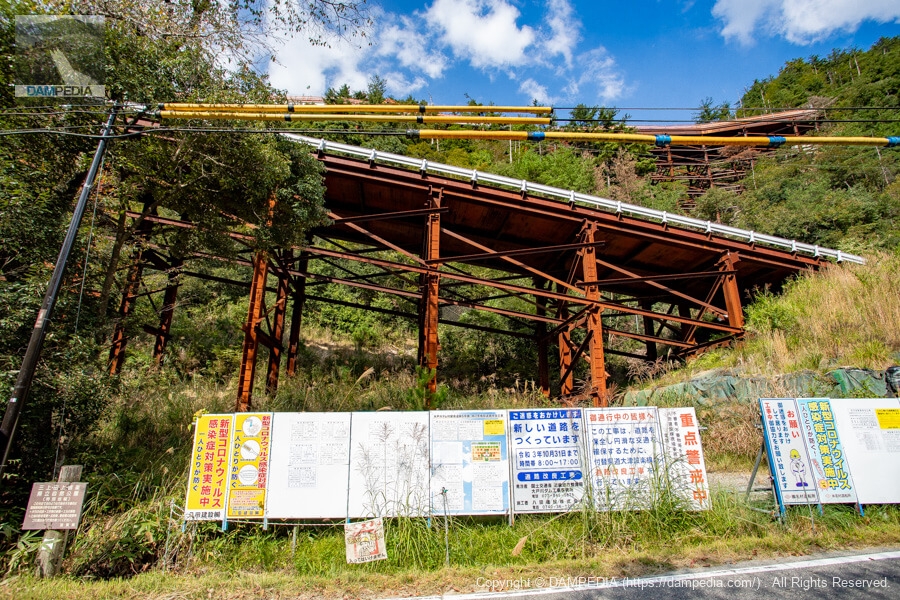
Walking further downstream, we saw temporary structures and cranes for the construction of a replacement road.
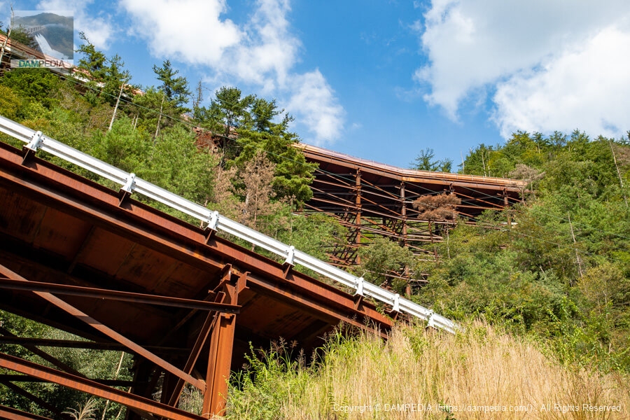
Bridge on the replacement road
Further downstream, we can see a bridge already built across the Oto River. It is not yet shared, but from here it looks as if it has already been completed.

Looking upstream from the point where the bridge is visible
From that position, look back and look in the direction of the levee. I wonder what it will really look like.
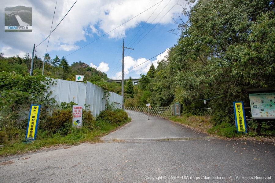
Entrance to the construction site of the replacement prefectural road
While I was snapping photos, a construction worker's car arrived. They opened the gate and entered, taking one look at me, who looked very suspicious.
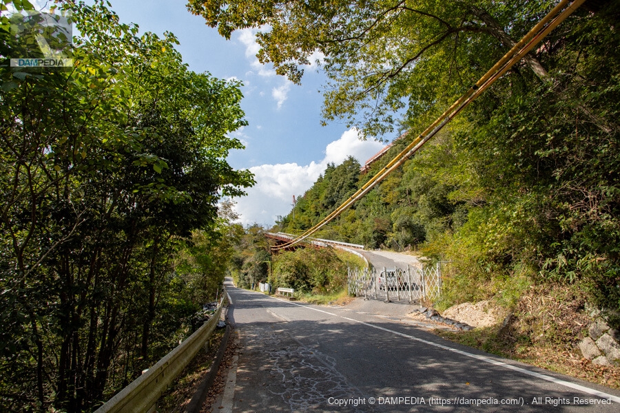
Entrance road for construction of replacement prefectural road and construction signage
You can see that the steel-framed construction entryway is quite high.
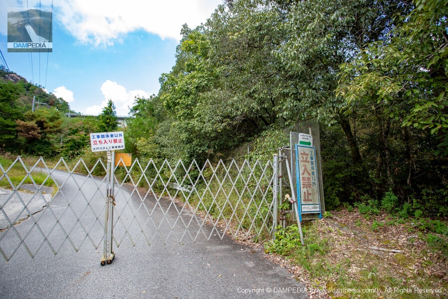
Entry road for construction of replacement prefectural road
This is a precious sight that can only be seen now.
Oto River Power Plant Intake Weir (Kiryu Weir)
Leaving the planned Oto River construction site, we will continue upstream on the Oto River. Just upstream of the planned site is the Oto River Power Plant intake weir (Kiryuweir(1) is located on the Oto River. This weir is destined to be submerged when the Oto River dam is built. (Embankment height: 4.24 m)

Also, as I learned while writing this article, there is a water conduit along the left bank of the Oto River between the Oto River Power Plant and this intake weir, which is open for walking. There seem to be many austere structures such as tunnels, so it might be a good idea to see them while you are there.
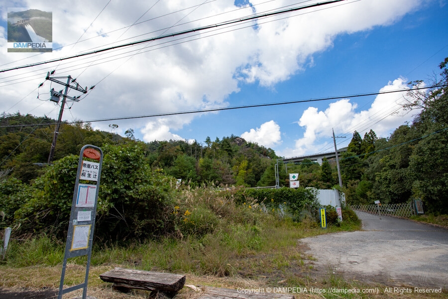
Kiryu Tsuji bus stop
Heading further upstream from the intake weir, you will reach the Kiryuu Tsuji bus stop for the Teisan Bus. The replacement prefectural road can be seen in the back.
Construction sign at Kiryu Tsuji bus stop
There are construction signs for the replacement prefectural road here and there.
Kinsho Mountain Hiking Trail Guide
There is a hiking course on the right bank of the planned Oto River dam construction site, which seems to have a Buddha and a statue of the Kannon (Goddess of Mercy).

Approach to Kiryu Tsuji Tunnel
Climbing up here seems to lead to the east side of the Kiryu Tsuji Tunnel on the replacement prefectural road, but of course it is off-limits. Then, what about the hiking course?
Hiking course...?
I wondered if the hiking trail was off-limits due to construction. But then I see something that looks like an arrow on the right.
Hiking course!
The hiking trail was alive. but the grass and trees were growing all over the place, as if no one hiked there... (As expected, we didn't go in).

submerged land
This is a point about 300m east of the Kiryu Tsuji bus stop. Aerial photographs taken before the 1990s show that this area was originally rice paddies, but now it seems to be covered with soil left over from tunnel excavation. It seems that excavated soil is also placed at the site of the former Otorii settlement, and it is used as aggregate for casting the embankment. Or perhaps it will be used as a plant.
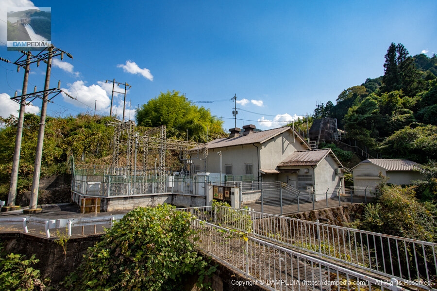
Otorii Power Station of Kansai Electric Power Co.
Further east from the above point, you will see a power plant. This is the Otorii Power Station of Kansai Electric Power Co. It is a historic hydroelectric power station that started operation in 1914 during the era of Kyoto Dento Co. The Tashiro River flows on the right (west) side of the power station and joins the Otogawa River at this point.
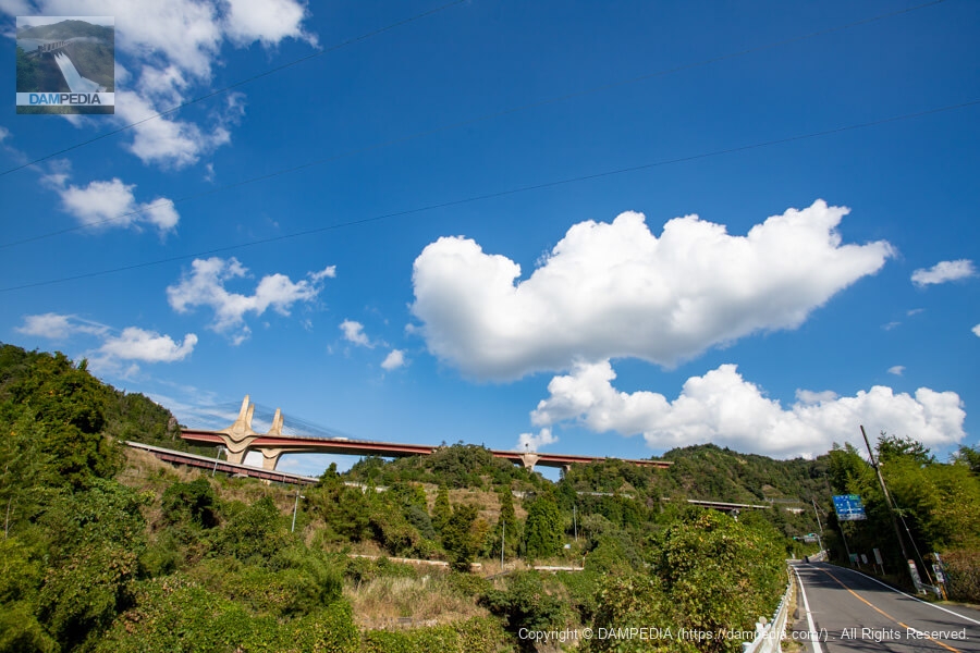
Shin-Meishin Expressway Omi-Otori Bridge
The Omi-Otori Bridge of the Shin-Meishin Expressway can be seen in the back. The bridge in front is a replacement prefectural road. The right side is the current road. I wonder if the new Meishin was built at that height in anticipation of the construction of the Ohtogawa Dam.
We do not know what will happen yet, but we believe that once the replacement prefectural road starts to be shared, the main construction will finally begin in earnest, so now is the time to see it before it is built. If you have a chance, please visit the site.
Accommodations that may be close to Ootogawa Dam


Comment