
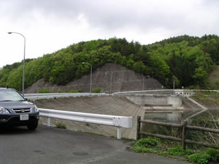
Location: Babayamada, Yamaoka-cho, Ena City, Gifu Prefecture
View of the lake side of the embankment dam from the left bank
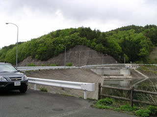
You will see a sign that says "Tazawa Dam" when you go to the Tazawa Disaster Prevention Dam, but both are the same dam.
It is a secluded dam known only to the locals.
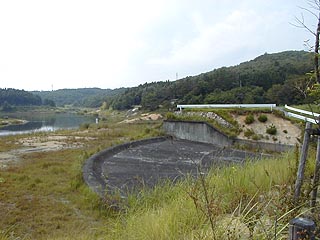
spillway
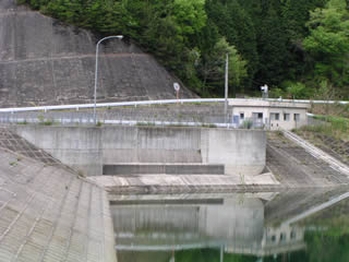
This is a free overflow type residual water discharge. It is a relatively simple structure.
View of the top edge from the left bank
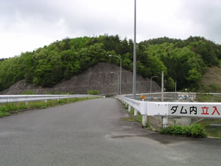
It says, "No trespassing in the dam," but there were quite a few bashers... (see below).
Let's see, I tried fishing away from the bank too, but I didn't catch any fish.
Downstream view of the levee from the left bank
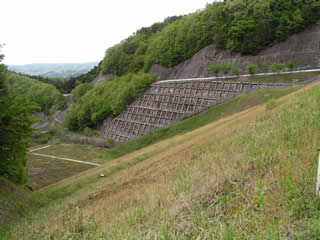
It looks like a very standard earth dam.
dam characteristics
| dam | form (something takes) | Central core typeearth dam |
|---|---|---|
| Objective | Flood control, agricultural disaster prevention | |
| Bank height | 29.5m | |
| Bank length | 109m | |
| levee length and width | 6m | |
| Dam volume | 119,000m3 | |
| reservoir | Watershed Area | 1.4km2 |
| Reservoir area | 3 ha | |
| Total storage capacity | 248,000m3 | |
| Effective water storage capacity | 223,000m3 | |
| full water level | EL 563.8m | |
| spillway | Model | ditch system |
| Planned Flood Volume | 42.00m3/s | |
| overflow depth | 1.2m | |
| overstaying one's welcome | 14.8m | |
| Residual water discharge extension | 141.66m | |
| conduit | Model | Slanting Gutter Typephi540mm |
| Maximum discharge | 2.09m3/s | |
| Tunnel Extension | 209.73m | |
| River Name | Shonai River System Tazawa River | |
| Year of launch | 1975. | |
| Year Completed | 1993 | |
| Access | Get off at Ena IC of Chuo Expressway and turn right at the traffic light If you continue straight ahead, you will hit an elevated road with Route 19, Turn left before the elevated road and merge onto the national highway Keep going east and turn right at the first traffic light intersection at Masaya to Route 257. Continue south for 11 km. (You may want to visit the Agigawa Dam in between.) Turn right at the intersection with Route 363 Between Akechi Railway's Yamaoka and Noshi Stations of the Third Sector Railway Turn left at the small signboard "Tazawa Dam" on the left. The rest can be reached by going straight ahead, but the possibility of getting lost is very high (explosion). | |
Other facilities/observations
| Parking lot | ○ | It is not clear to me whether fishing is prohibited or not, The dike would be basically NG. I just don't think there are that many fish... |
|---|---|---|
| Toilet | × | |
| Park | × | |
| PR Exhibition Hall | × | |
| Fishing | △ |


Comment