
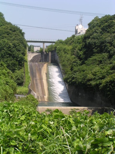
Location: Higashikurumegi, Hikisa-cho, Kita-ku, Hamamatsu City, Shizuoka Prefecture
Date of interview: 2005/07/18
View of the embankment on the lake side of the dam from the left bank
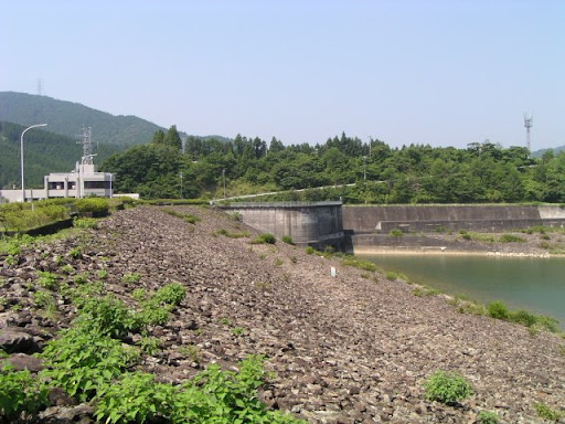
This dam was guided by Mr. Abebe. I remember it was unusually hot in July.
View of the dam lake from the top
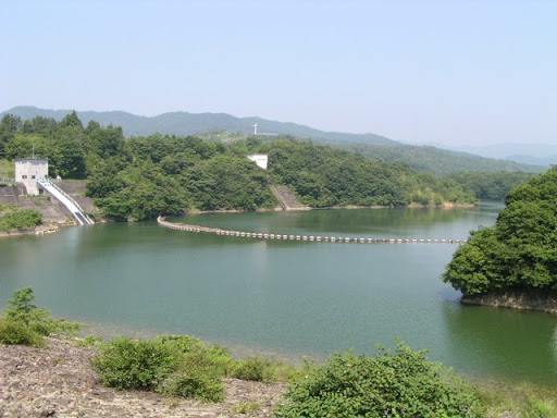
The area is full of nature, but the Second Tomei Expressway is under construction near the dam, and when completed, the area may change considerably.
Stone monument with the name of the dam lake
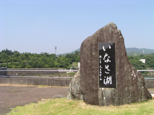
I guess "Hikisa" is a difficult place name to read for those who don't know it. It is read as "Inasa". The name of the dam lake is also written in hiragana.
Stone monument with the origin of the dam

This is a multi-purpose dam that prevents flooding and serves as a source of water for agriculture and water supply. It was completed over 16 years from 1970 at a total project cost of more than 12.7 billion yen.
With the hope that this dam will serve as a foundation for the stability of the lives of local residents and the development of local industries, including agriculture, the dam lake was named "Ina Lake" by the consensus of local residents and beneficiaries when water storage began in October 1979.
Built in November 1986
View of the top edge from the left bank

The top end of the road is closed to motor vehicles. At a quick glance, it looks like a normal road. The building at the far end is the administration office.
View downstream from the top
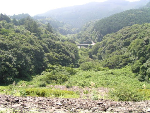
This is the downstream side of the river, which is full of nature. I think the riprap is also somewhat overgrown with grass. Incidentally, the flood discharge and conduit are on the right bank, but they are separated by a small hill, so they cannot be shown together.
Miyakoda River Dam Management Office

It's a pretty cool management center that I personally think is cool. It's a very imposing place that says, "We're in charge! It looks like a lowered airport control tower. It looks like a lowered airport control tower.
View of the flood discharge from the top
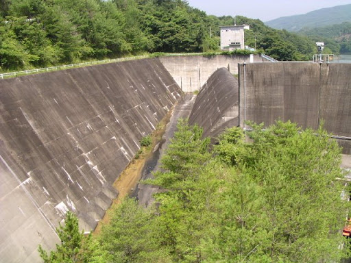
This is the flood discharge that could not be seen from the right bank of the top edge. It is a natural overflow type.
View of the gate from the top
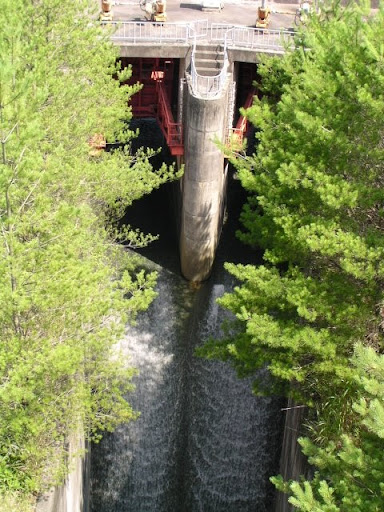
This gate is located on the right side of the permanent flood discharge mentioned earlier. It is called a "discharge pipe.
View downstream of the gate from the top

The left side of the middle wall is from the "discharge pipe" mentioned above.conduitThe right side of the figure is the conduit for the permanent and emergency flood discharge.
Stone monument with the name of the dam
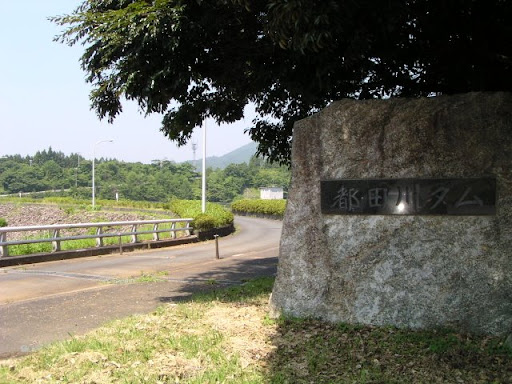
Before moving downstream, I forgot to take a picture of the stone monument with the name of the dam.
View of the levee from downstream
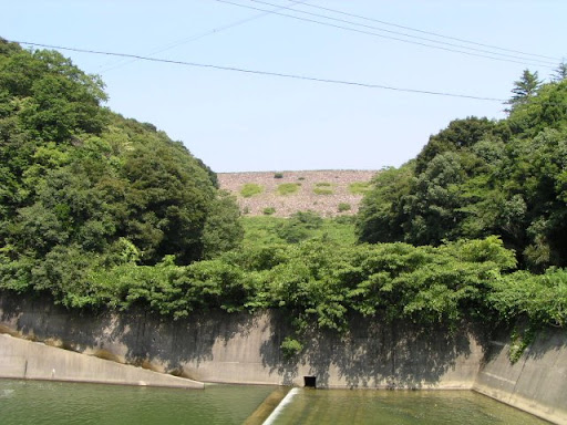
It is a little difficult to understand the atmosphere because of the overgrowth of trees.
fish ladder
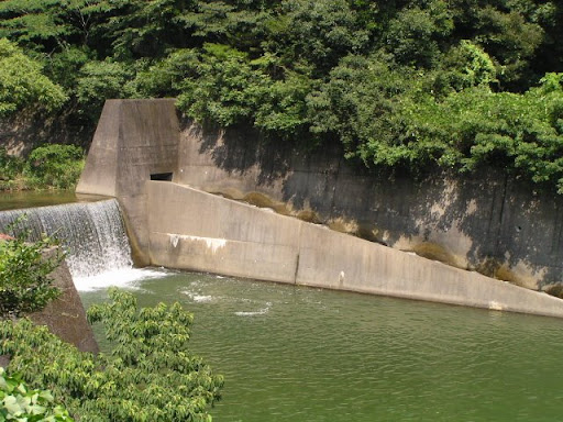
A fish passage was installed downstream.
View of the conduit from downstream

Water was discharged from the discharge pipe earlier, so the water is flowing down from the right half of the pipe as you face it. I would like to see the water flowing from the permanent and emergency flood discharges as well.
dam characteristics
| rivers | Miyakoda River system Miyakoda River |
|---|---|
| Objective | FAW |
| Model | rockfill |
| Bank height | 55m |
| Bank length | 170m |
| Dam volume | 708,000m3 |
| Watershed Area | 56km2 |
| Reservoir area | 74ha |
| Total storage capacity | 12,020,000m3 |
| Effective water storage capacity | 10,340,000m3 |
| Dam operator | Shizuoka prefecture (Chuubu area) |
| Main body constructor | Tobishima Construction |
| Year of launch | 1968. |
| Year Completed | 1984 |
| Name of Dam Lake | Lake Inoa |
Other facilities/observations
It is not a very large dam, but it had some highlights. It would be nice if it were a little more accessible.
| Parking lot | ○ |
|---|---|
| Toilet | ○ |
| Park | ○ |
| PR Exhibition Hall | × |
| Fishing | ? |


Comment