
Date of interview: Wednesday, 12/10/2014
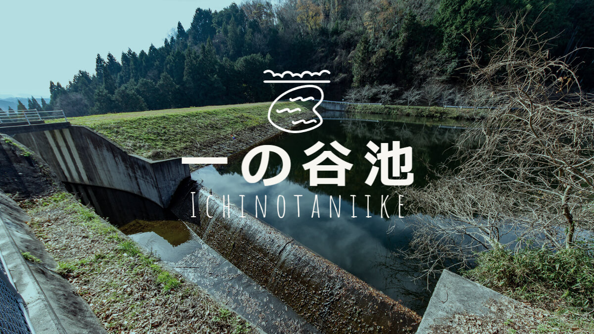
The fifth pond of the day was Ichinotani Pond. As the name suggests, it is a reservoir and earth dam.
Looking downstream from the right bank
The difference between light and dark is too large to retouch well, and this is the limit. The downstream side of the embankment seems to have been mowed neatly on a regular basis.
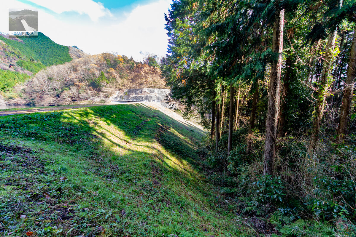
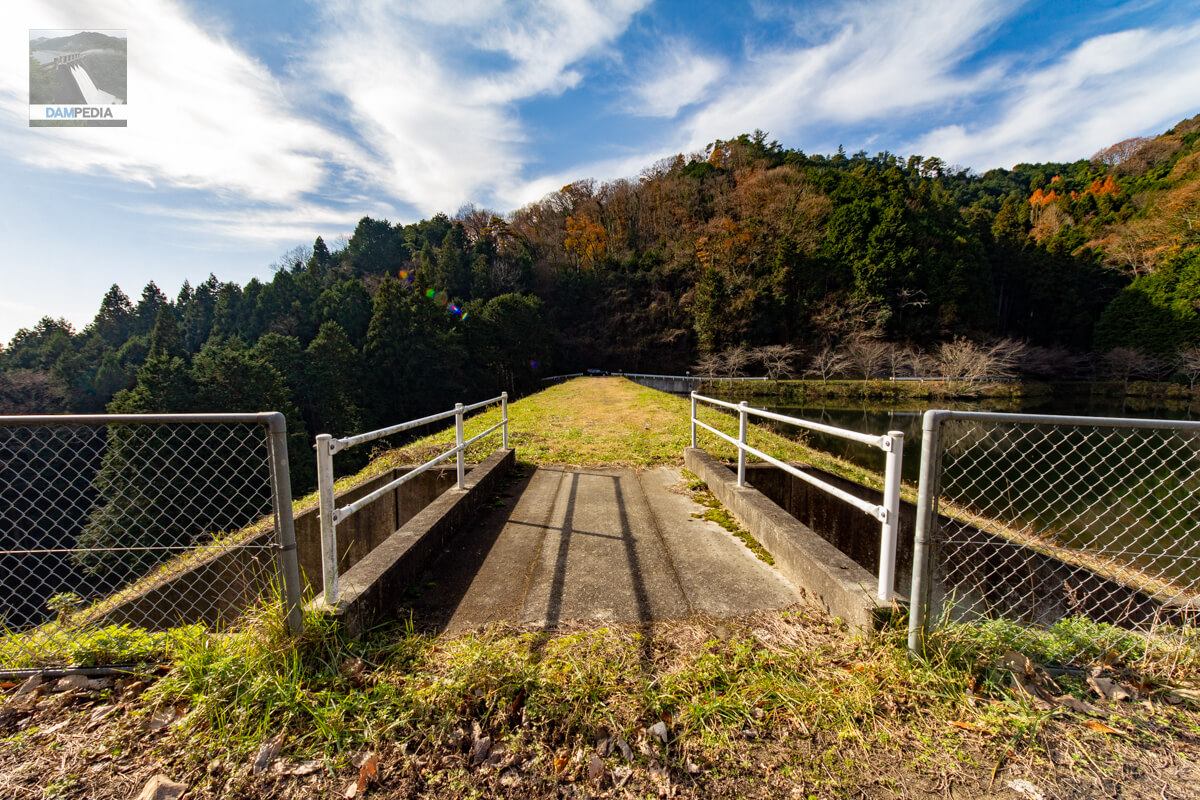
View of the top edge from the right bank
The top end is open to vehicular traffic, but it is wise not to proceed any further as it is a dead end beyond this point.
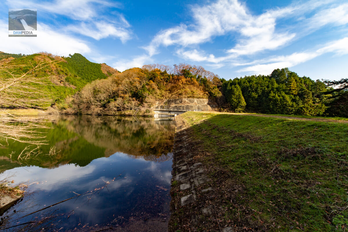
Looking upstream from the right bank
The upstream slope protection is made of concrete blocks, but it looks as if it mimics nature by covering the soil of the embankment in a natural way.
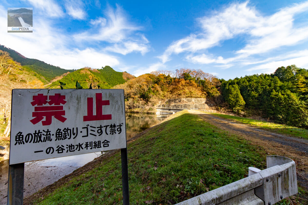
signboard prohibition
Fish releases and fishing also seem to be prohibited.
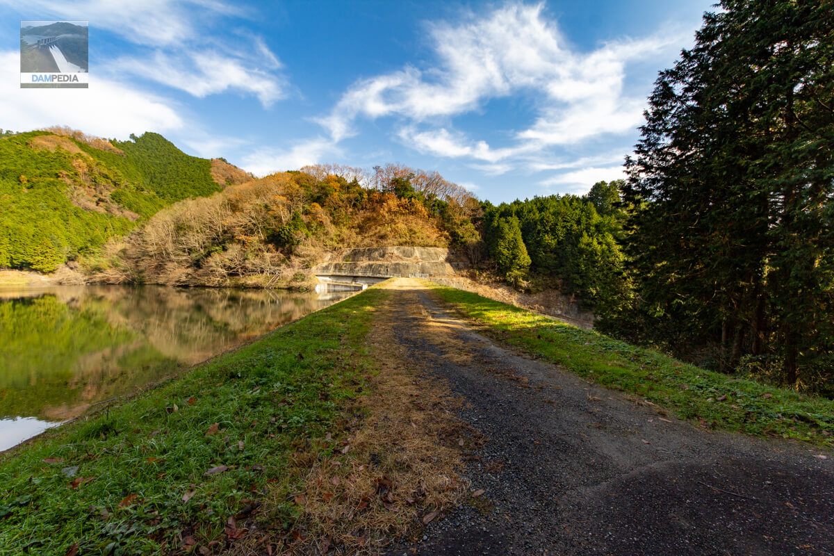
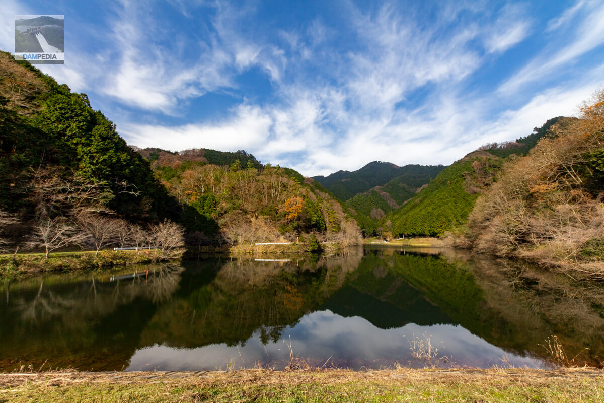
View of the reservoir from the top
The upper reaches of the river are quiet, with only fields and no private homes.
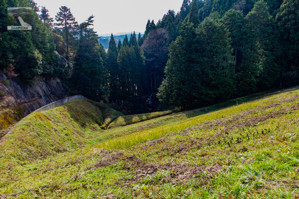
Looking downstream from the top
At first, we tried to approach from downstream, but we had to pass through a path between rice paddies, and we were not sure if we could pass through the path, so we gave up.
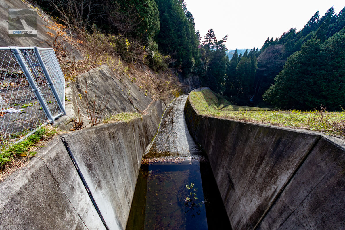
Looking downstream from the top of the ceiling at the residual water discharge
The spillway is gently sloping down to the halfway point and then slopes steeply up to the halfway point. This may also serve to reduce the force.
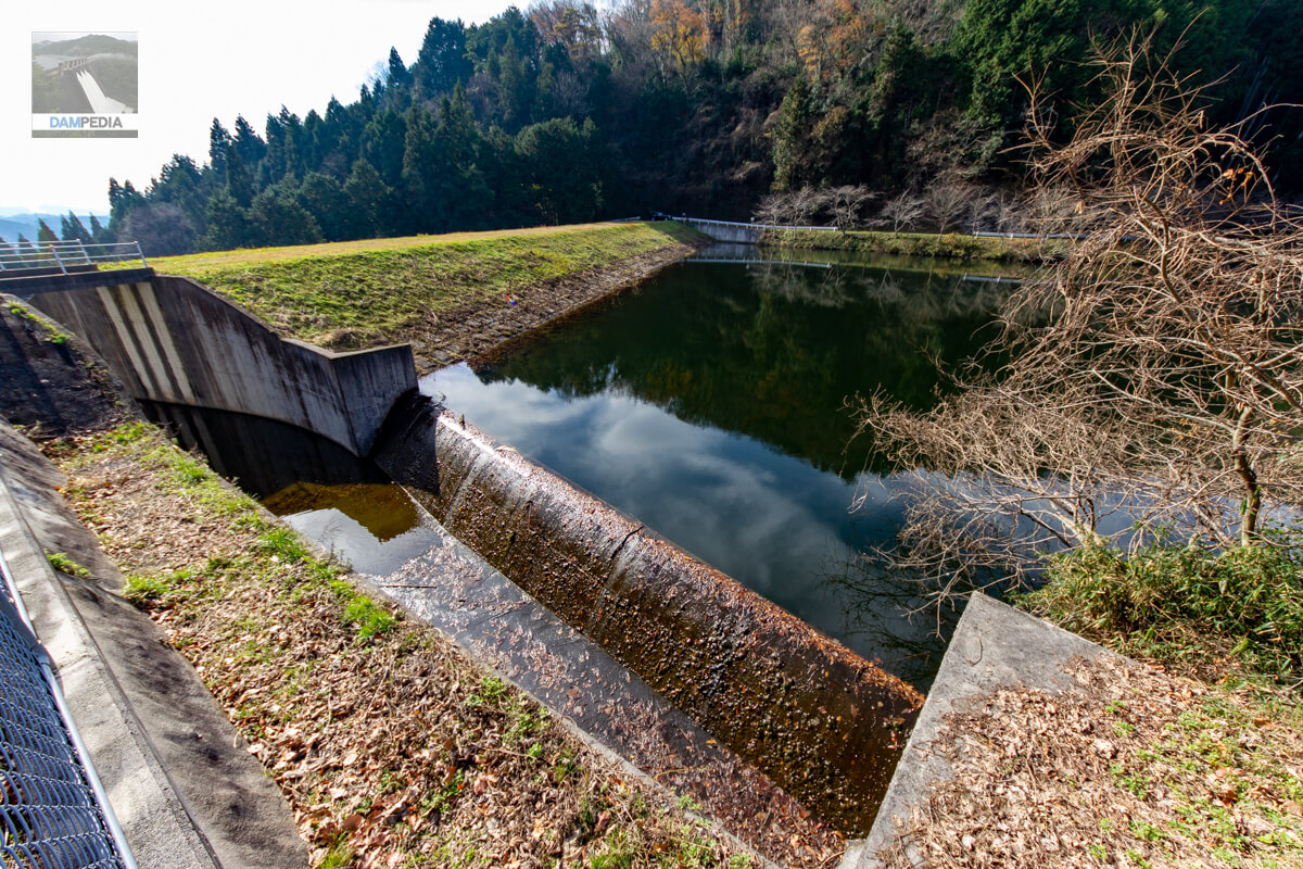
View of the spillway upstream from the top edge
The spillway is a side channel type. On this day, it was slightly overflowing.
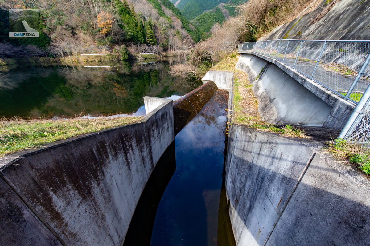
View of the after-flow water discharge and the upstream face of the embankment from the left bank
Since it was the time of defoliation, leaves probably fell into the reservoir, which were then washed away, and many of the leaves also became attached to the overflow embankment.
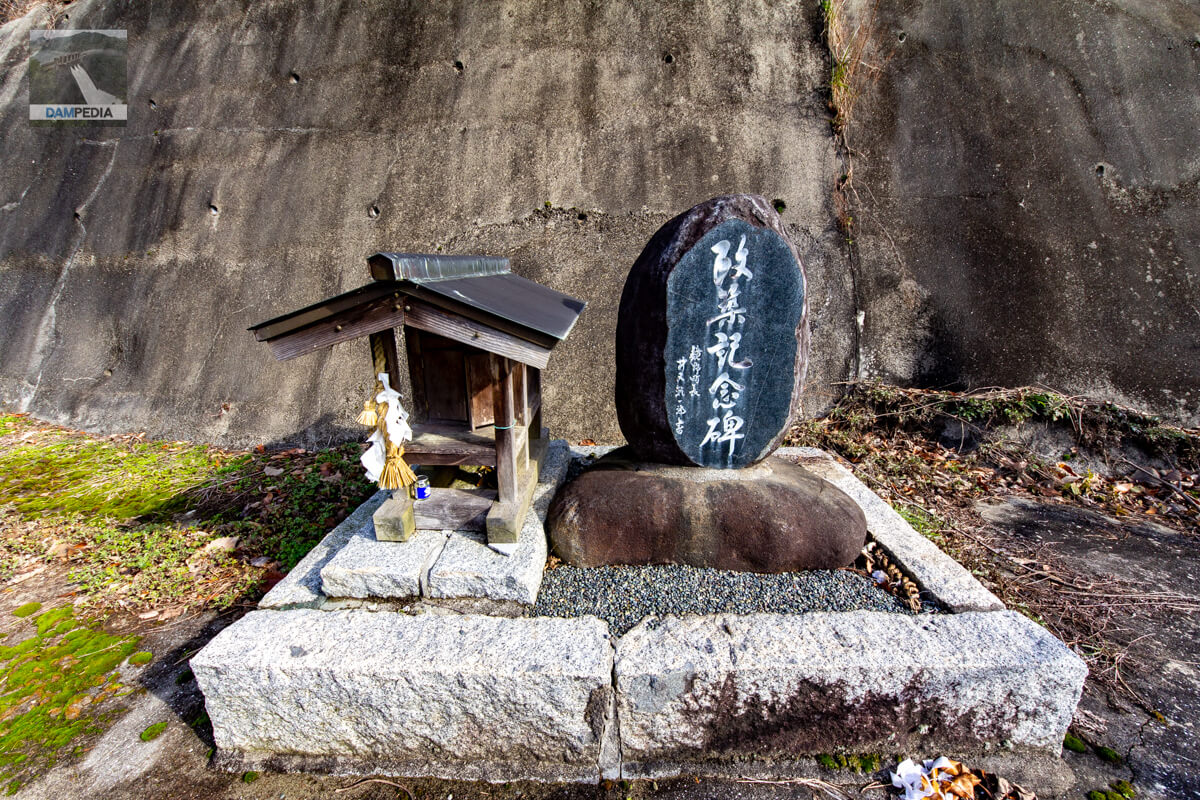
monument to commemorate the reconstruction of a building
A monument and shrine were erected on the left bank. The monument seems to have been erected to commemorate the reconstruction work that began in March 1996 and was completed in January 1998. The reconstruction was carried out under the auspices of Okayama Prefecture as a "prefectural disaster restoration reservoir disaster-related special countermeasures project. I thought it might be a dam that was damaged by the disaster, but there was no information about it.
View of the top edge from the left bank
It is a clean and simple top end with no fences except for the bridge of the residual water discharge. Come to think of it, there seems to be no water intake facility in sight...
The Ichinotani Pond may need to be reexamined in terms of the disaster restoration wording inscribed on the stone monument and the missing water intake equipment.
Ichinotani Pond Specifications
Reproduced from GSI maps and Okayama Prefecture Reservoir Database based on the notation in the Dam Handbook. The mark * is the notation in the Dam Handbook. The notation on the reconstruction monument is 25.5 m in height, 104 m in length, and 103,000 m3 in reservoir volume, but the descriptions are different for each.
| Location | Baba, Kagamino-cho, Tomata-gun, Okayama *Kamimoribara |
| River Name | Baba River, Yoshii-gawa River system *Yoshii-gawa River system |
| Objective | A (irrigation water) |
| Model | E(earth dam) |
| Bank height | 23.5m *24.7m |
| Bank length | 93m *95m |
| Dam volume | 91,000 m3 |
| Watershed Area | - km2 |
| Reservoir area | 2 ha |
| Total storage capacity | 155,000m3 *116,000m3 |
| Effective water storage capacity | 116,000 m3 |
| Dam operator | Ichinotani Water Conservancy Association *Kamimoribara District |
| Main body constructor | foundation |
| Year of launch | - year |
| Year Completed | 1921. |
| Name of Dam Lake | - |
Other facilities/observations
| Parking lot | × |
| Toilet | × |
| Park | × |
| PR Exhibition Hall | × |
| Fishing | × |
| Viewing platform | × |
Map around Ichinotani Pond
Weather around Ichinotani Pond
Accommodations that may be close to Ichinotani Pond


Comment