
Date of interview: Sunday, 04/20/2014
The Minosho area where the Sanpo Dam is located originally had "three wells," as the name of the area suggests, and they were a treasure for the residents to nurture their lives. The name "Sanpo Dam" was given to the dam in the hope that it would be a treasure as well.
In 1988, the system of reservoir dams was introduced for flood control and water utilization in very limited areas such as mountains, peninsulas, and islands, and Sanpo Dam will be the first reservoir dam in Japan. It is smaller in scale than ordinary dams and the beneficiaries are limited to a very local area.
In recent years, the company has also been focusing on dam storage sake, in which sake is stored in rim tunnels to mature, and it seems to be attracting attention as a new local specialty.
View of the downstream face of the dike
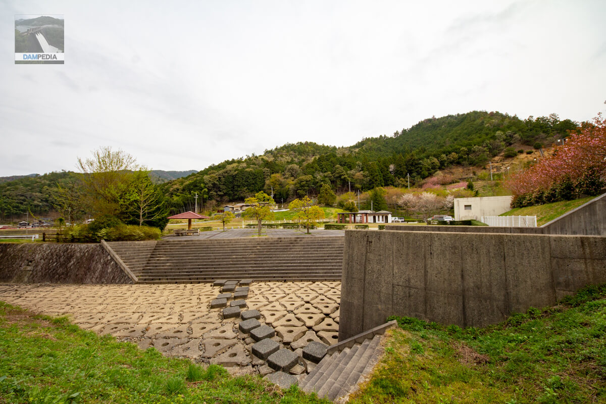
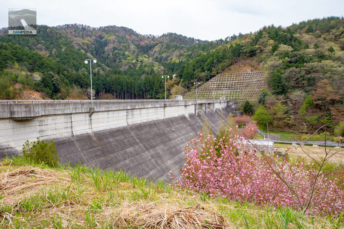
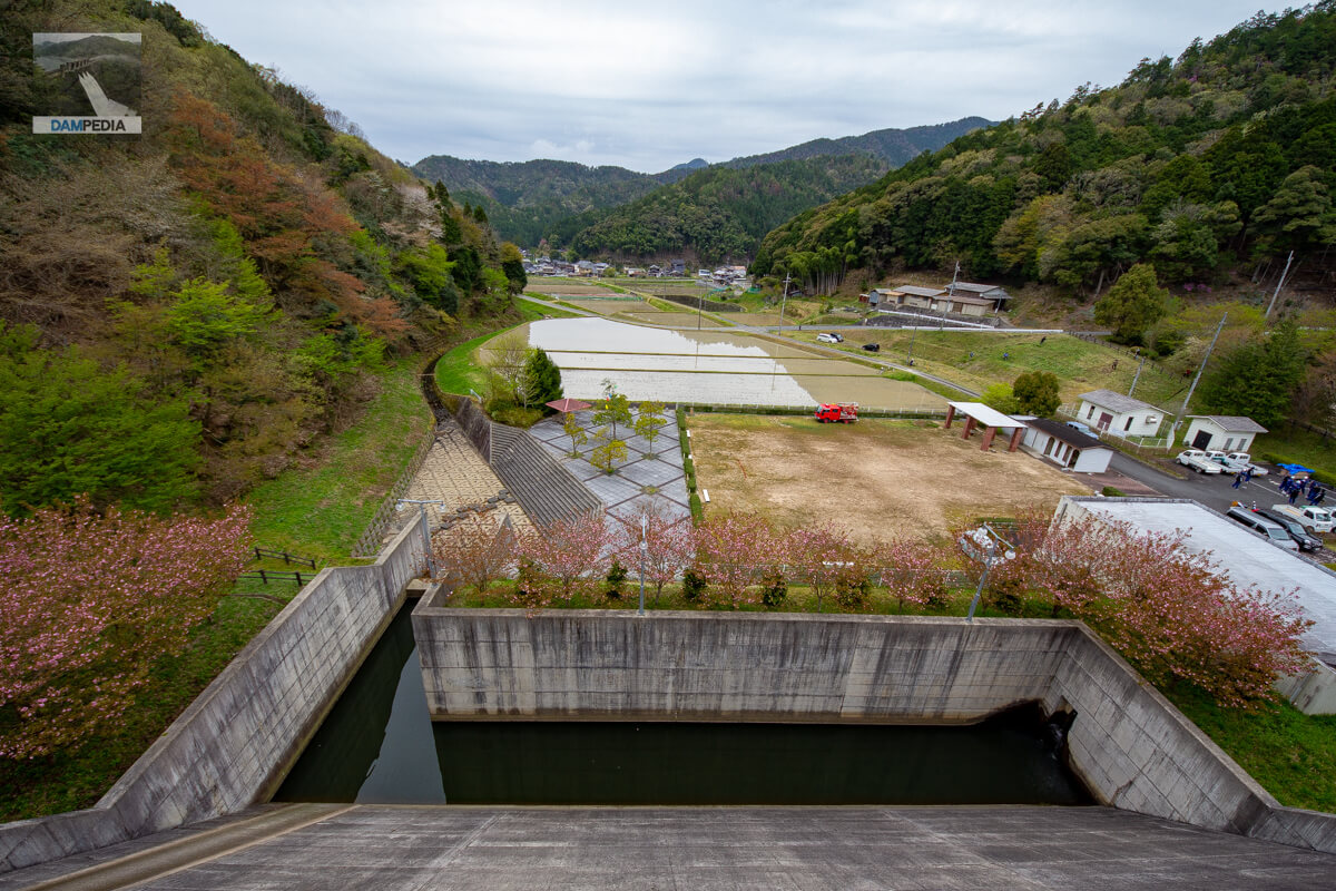
The fields downstream were filled with water because it was just time to rake the fields. The cherry blossoms were still blooming a little because of the high elevation. The embankment height is low and the embankment is long and wide. It is nice that there is a park downstream.

View of the downstream face of the levee from the park downstream
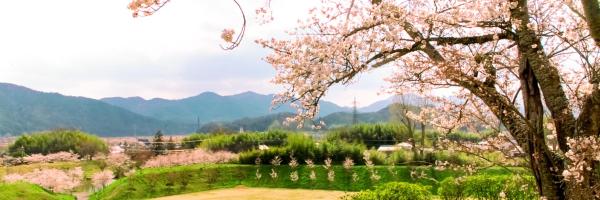
The cherry blossoms are completely in leaf, but it would be nice to visit when they are in full bloom. By the way, there were many farmers mowing the grass and people training for the fire brigade at the Sanpo Dam on that day.

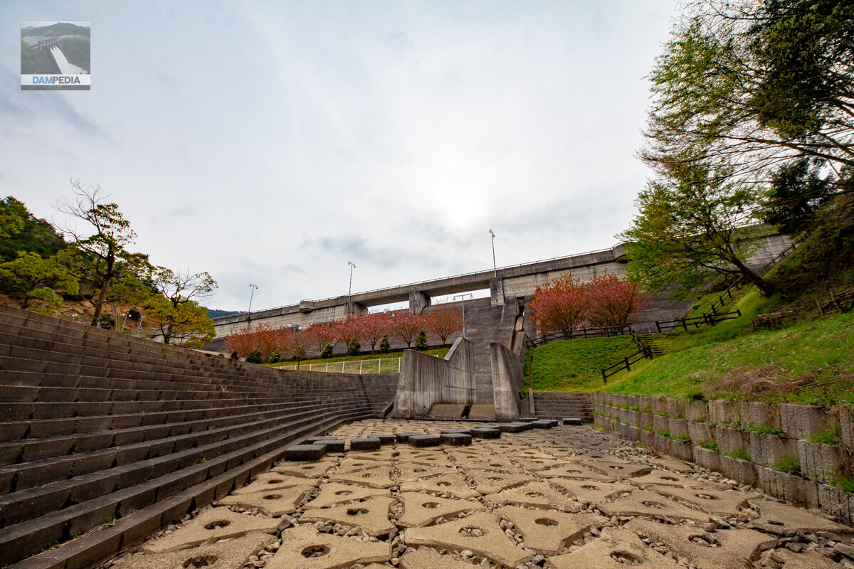
View of the downstream face of the embankment from downstream of the sub-dam
Downstream is a water park, where visitors can play in the water from the sub-dam downstream. However, there was no water stored on this day, perhaps because the amount of water discharged was low and it seeped into the ground.
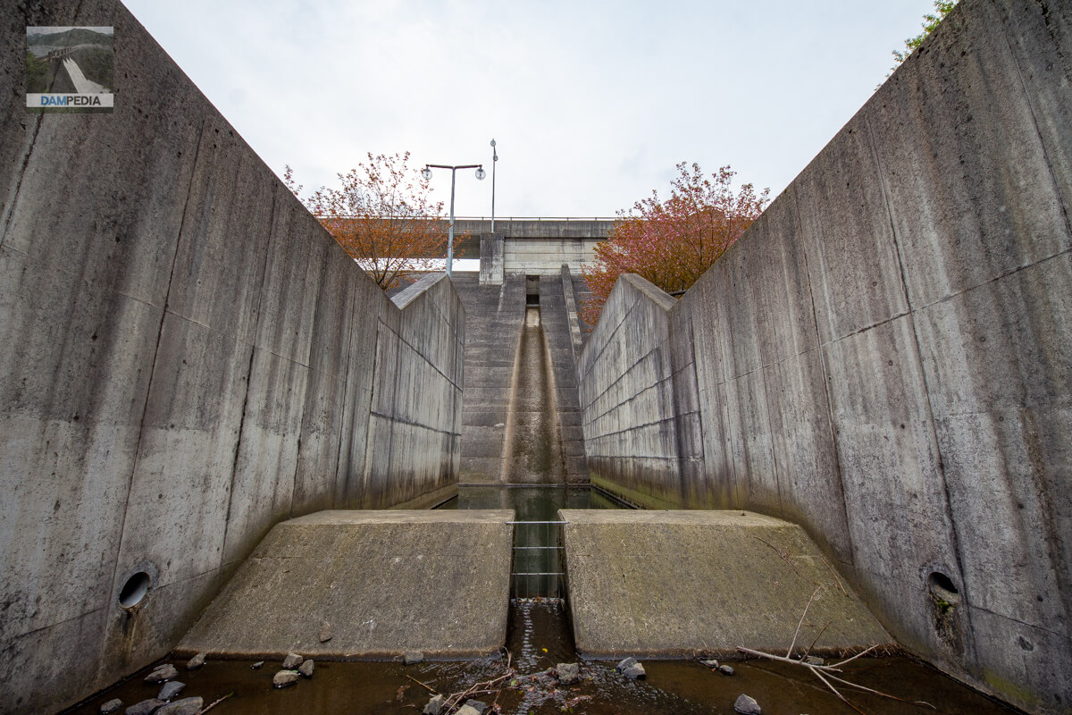
View of the force reducer from downstream
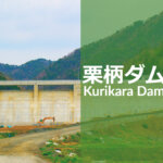
It is a reduction work that can be entered quite casually without a fence. The orifice is not located in the center of the crest gate but on the side, similar to the Kurigara Dam. Although the orifices are positioned differently on the left and right sides, the Kurigara Dam seems to have been designed with the Sanpo Dam in mind.
View of the water park downstream from the left bank
It is also very freeform with the ability to cross from the right bank to the left bank just below the sub-dam. Only for the dam.
Downstream view of the levee from the footing on the left bank
Unusually, the footings are also walkable. Since the embankment of Sanpo Dam is not so high (35.1 m), it is relatively easy to climb, but it is good to enjoy the view from various angles.

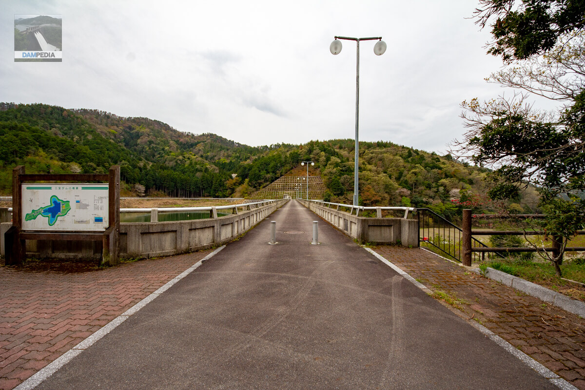
View of the top edge from the left bank
We climbed the footing and came to the top end. The top edge is closed to motor vehicle traffic due to a roadblock, but it is a small reservoir and can be easily reached on foot or by car by circling the lakeshore road to the other side of the reservoir.

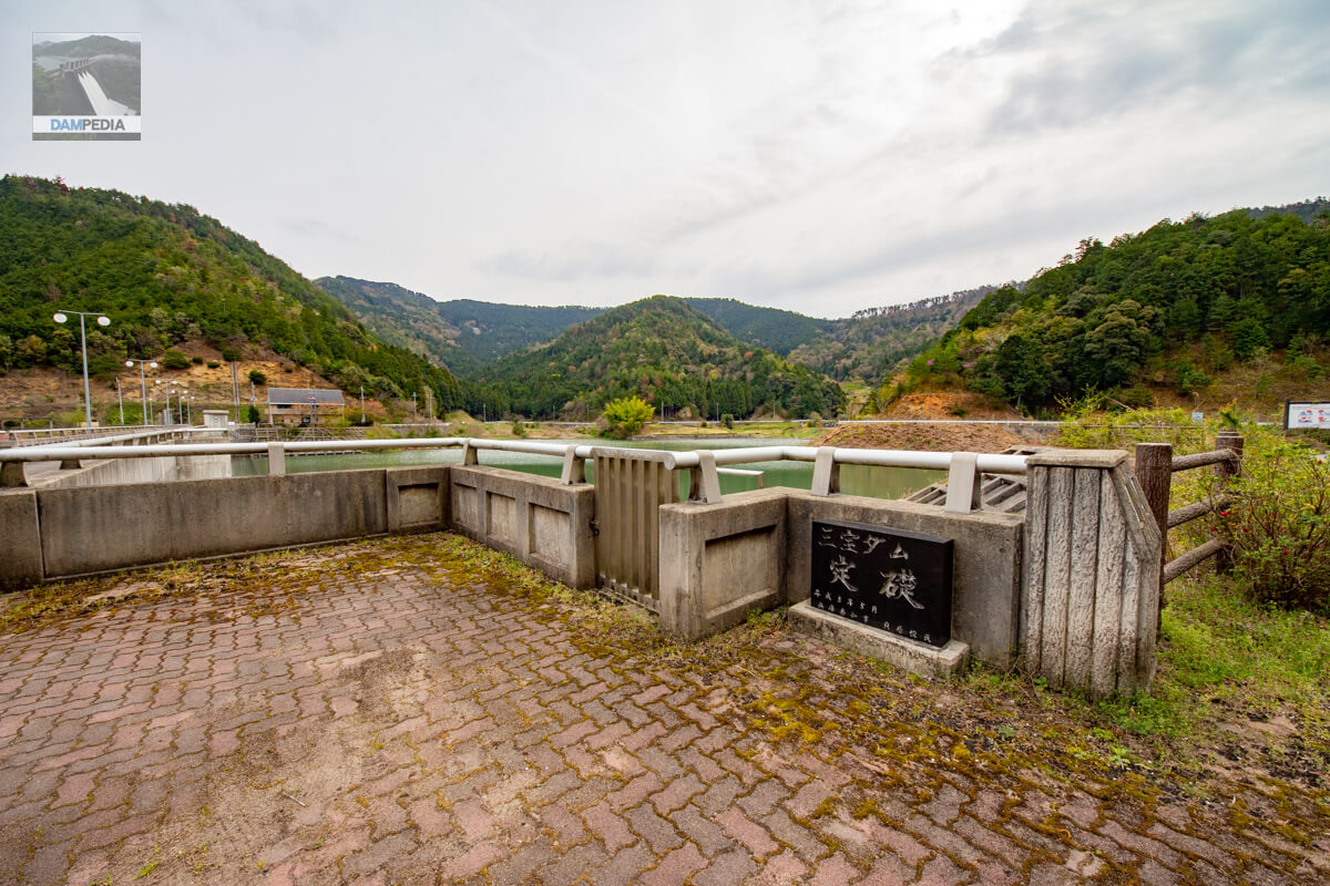
Cornerstone on the left bank
A cornerstone has been placed on the left bank on the reservoir side.
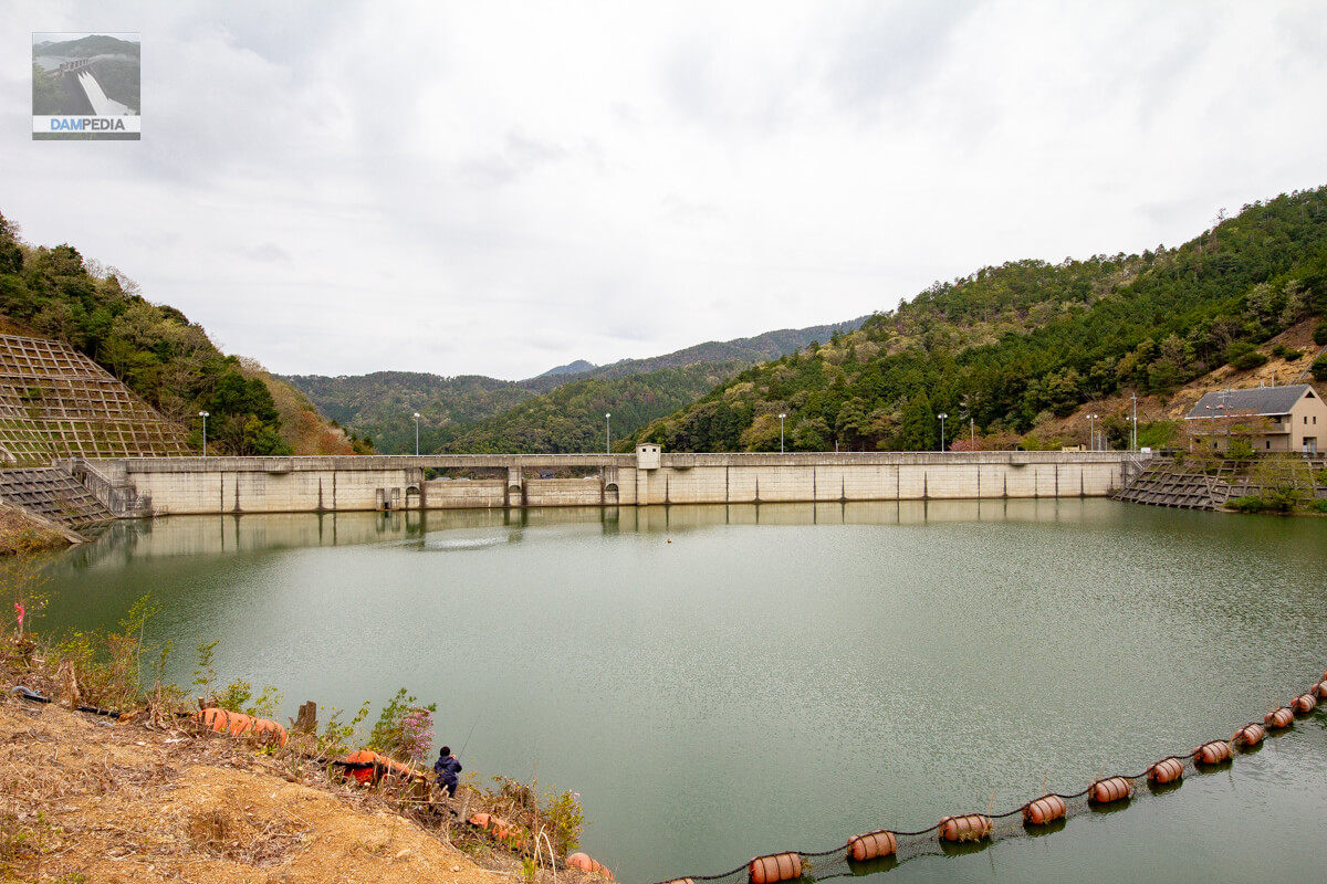
View of the upstream face of the embankment
Upstream is also a water park, and on this day there were people enjoying fishing.
View of the upstream face of the embankment
It is a large park where you can play freely. Behind the photo is a park named "Gochiso no Mori" (forest of feast), but why it is so named is a mystery.

Sanpo Dam Management Office, Kashiwabara Civil Engineering Office, Hyogo Prefecture
We made a loop around the reservoir and returned to the right bank dam site where the administration office is located. It is a small reservoir, so it is good for a walk. The control center is a magnificent place, but it does not look like an arrow pointing upward.

Looking downstream from the right bank
The season is late spring. Half of the cherry blossoms had fallen. At the peak of the season, they will add more colors to the embankment than now.
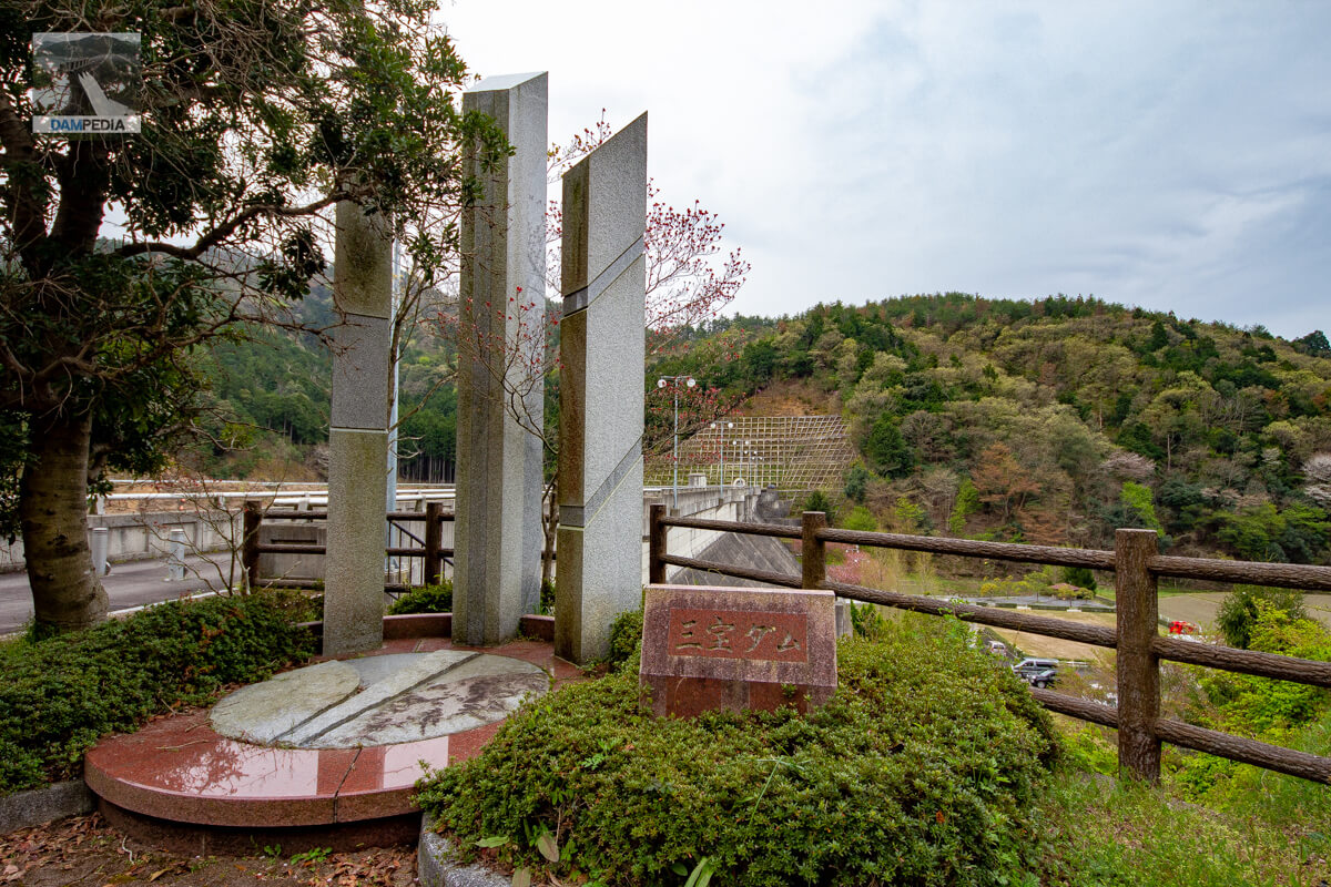
Monument on the right bank
Do the three pillars indicate three treasures?
View of the top edge from the right bank
It is a compact levee, but it is a good point to visit from various angles. If I were to say something extravagant, I would like to have an observation deck where I can see the levee from a bird's eye view.
Downstream view of the embankment from the right bank footing
It is also nice that the embankment height is not so high, so going up and down the footings is not so strenuous.

Looking upstream from the right bank
The lake looks quiet in the picture, but I remember it was actually a bit noisy downstream with mowing and fire drills taking place.

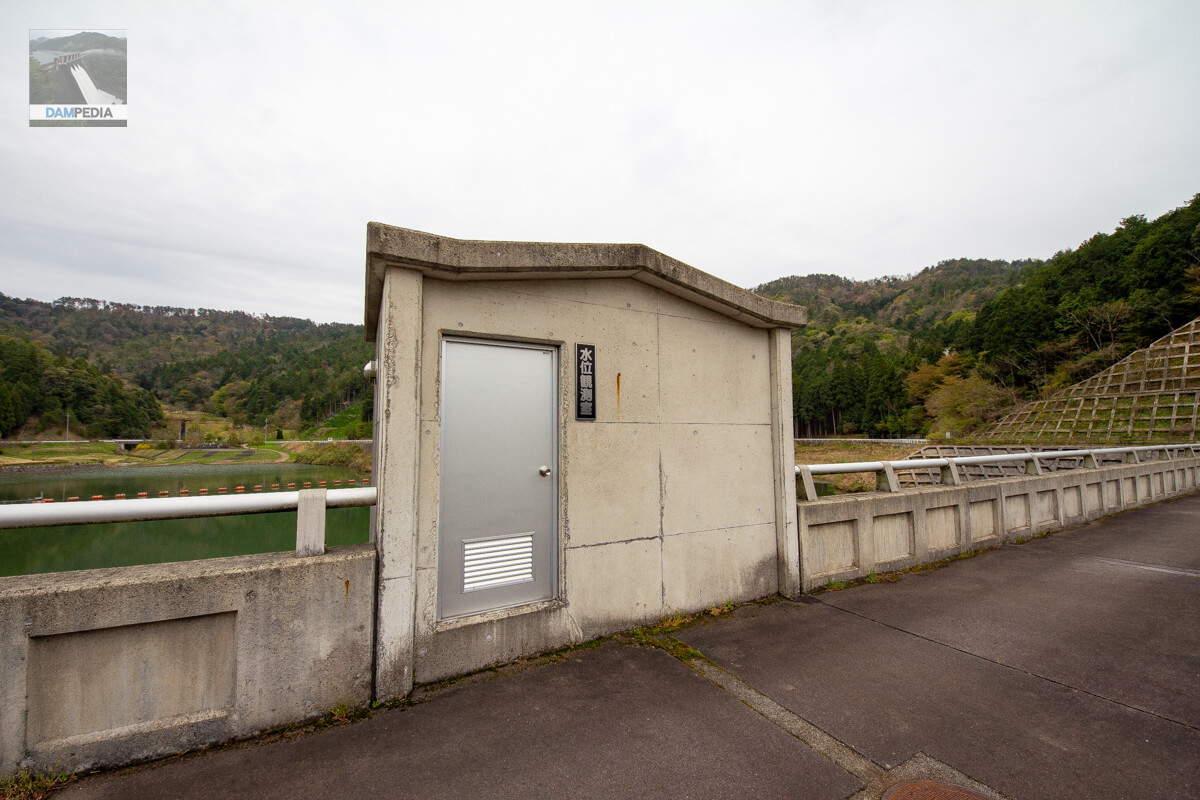
Water Level Observation Room
The top end is also simple, with only a water level observation room.
Looking downstream from the top
The shape of the dam is a reversal of that of the Kurigara Dam. It is a small dam, but it is easy to understand that it is a dam for a community that spreads out just downstream of the dam. Moreover, as mentioned above, on that day, the dam was crowded with local people mowing the grass and conducting fire drills, and it was very impressive that the dam was like a kind of meeting place. The Sanpo Dam was such a community-based dam.
Sanpo Dam Specifications
| Location | Kamimiaisho, Kasuga-cho, Tamba City, Hyogo Prefecture |
| River Name | Yura River System Oya River |
| Objective | F (flood control, agricultural disaster prevention) N (unspecified water, water for river maintenance) W(Water for water supply) |
| Model | G(gravity-fed concrete dam) |
| Bank height | 35.1m |
| Bank length | 178m |
| Dam volume | 65,000 m3 |
| Watershed Area | 1.2 km2 |
| Reservoir area | 4 ha |
| Total storage capacity | 271,000 m3 |
| Effective water storage capacity | 234,000m3 |
| Dam operator | Hyogo prefecture (Kinki area) (Hyougo) |
| Main body constructor | Toda Corporation, Taiho Corporation, Kawashima Corporation |
| Year of launch | 1989 |
| Year Completed | 1994 |
| Name of Dam Lake | - |
Other facilities/observations
| Parking lot | ○ |
| Toilet | ○ |
| Park | ○ |
| PR Exhibition Hall | × |
| Fishing | ○? |
Map around Sanpo Dam
Weather around Sanpo Dam
Accommodations that may be close to Sanpo Dam
Comment