
Date of interview: Saturday, 1/26/2013
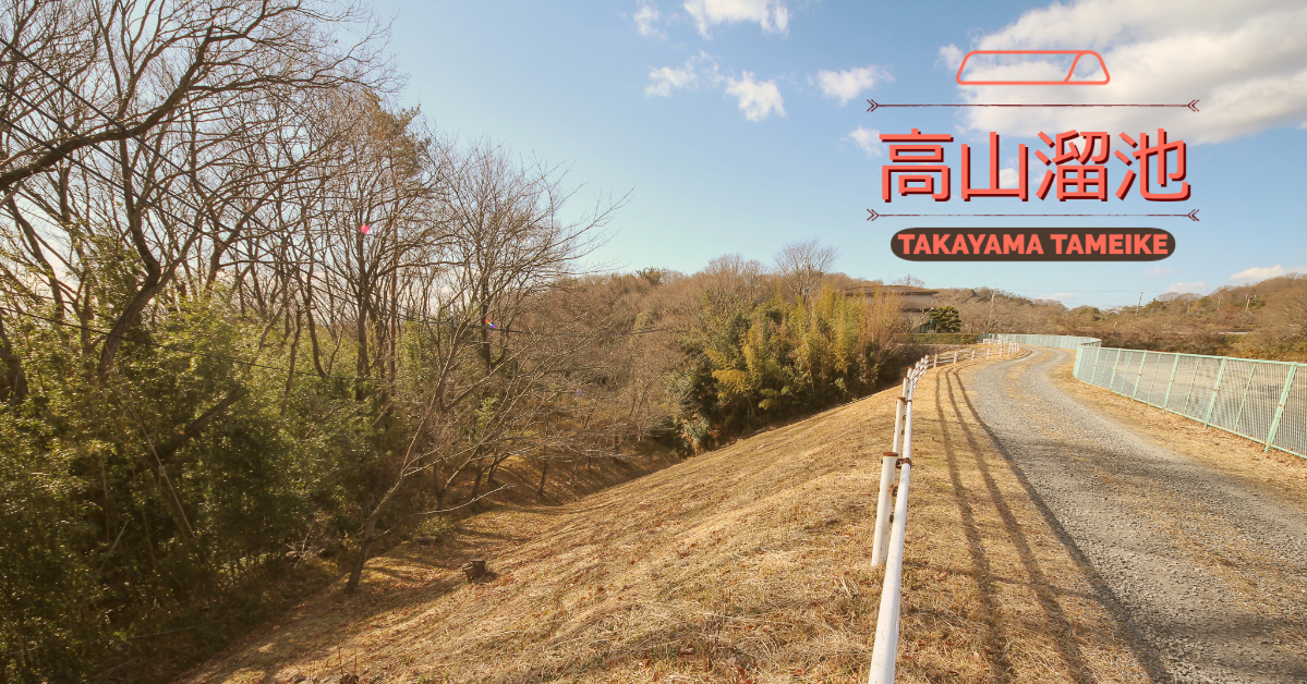
I don't remember how I got there, but it was in Ikoma City, Nara Prefecture.earth damTakayama Tameike.
Adjacent to the pond is a pond called Kuroondo Pond (also written as Kurozoe Pond or Kurozo-ike), which is probably familiar to Ikoma citizens, but this pond was built in 1624 as an agricultural reservoir. This pond was constructed in 1624 as an agricultural reservoir. After the construction of Takayama Tameike, it is said that the water is stored as a reserve in case of abnormal drought.
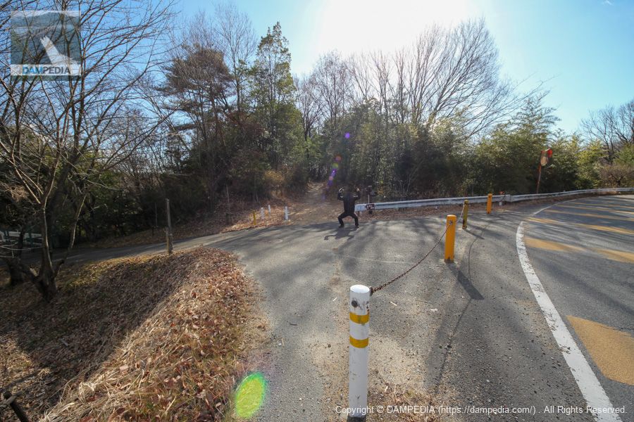
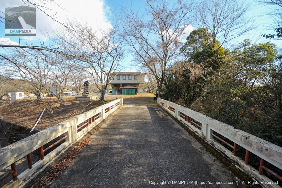
Right bank dam site
We arrived but were fed up because there was no space to park our car. There is a parking lot on the right at the end of the road in this picture, but it was not open due to the early morning. There is a person posing strangely in the center, but please don't mind him (lol).
View toward the levee from the right bank dam site
Furthermore, you cannot enter the dike. Unfortunately, it seems that it is not usually open to the public.
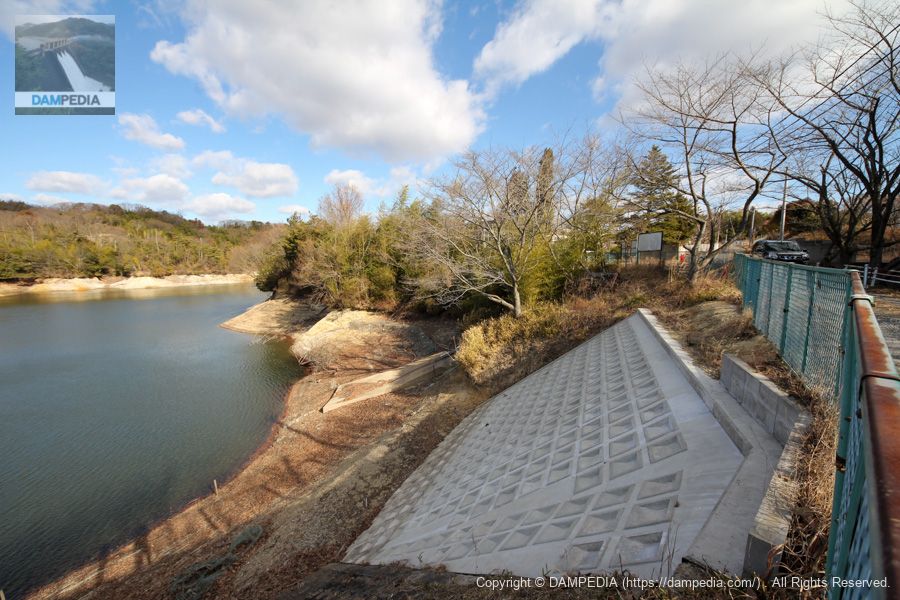
View of the flood discharge from the right end dam site
A common type of irrigation reservoir.Flood discharge(This is the (residual water discharge). A stone monument can be seen on the right.
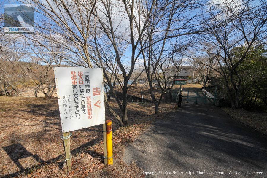
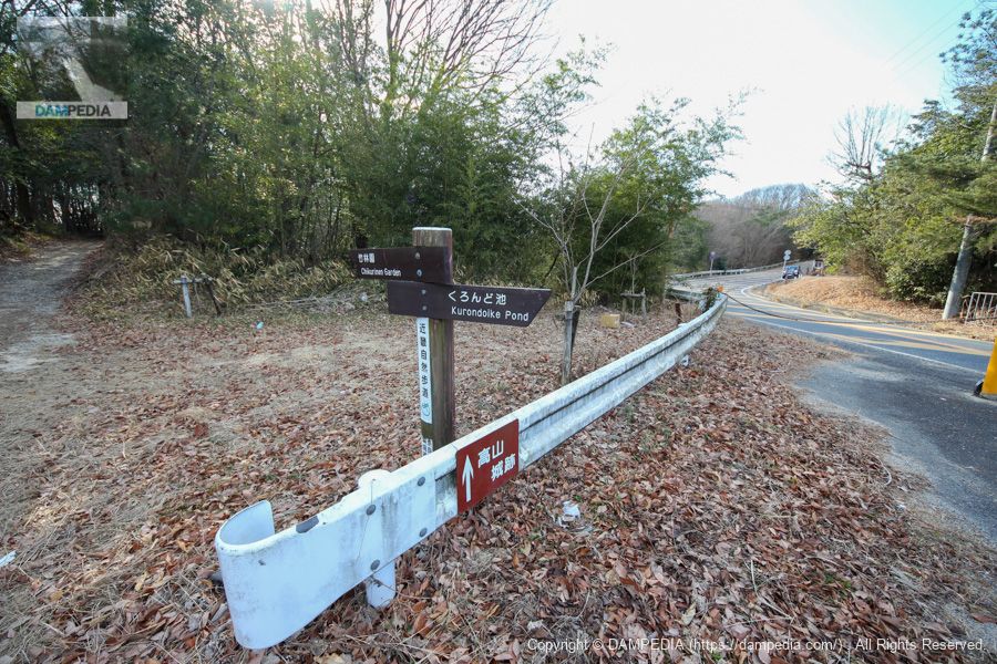
View toward the levee from the gate on the right bank
This bridge over the flood discharge is called Bubei Bridge, which was built by the then president of the Takayama Reservoir Construction Company, who worked hard on the construction of the Takayama Reservoir.Kitawa Villagevillage headmanSamubei AriyamaIt is named after the On the other side of the bridge on the other side of the riverKitawa VillageThere seems to be a road sign. Over there is the office of the Kitawa Land Improvement District.
Sign for directions at the dam site on the right bank
Takayama Reservoir seems to be on the Kinki Nature Trail, and a signpost was placed at the dam site on the right bank. If you go south, you will find the ruins of Takayama Castle.
View of the upstream face of the embankment from the right bank
We move a little north and aim at the dike through a gap in the trees. The dike seems to be shielded by a block of concrete.
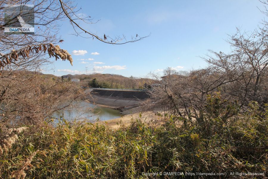
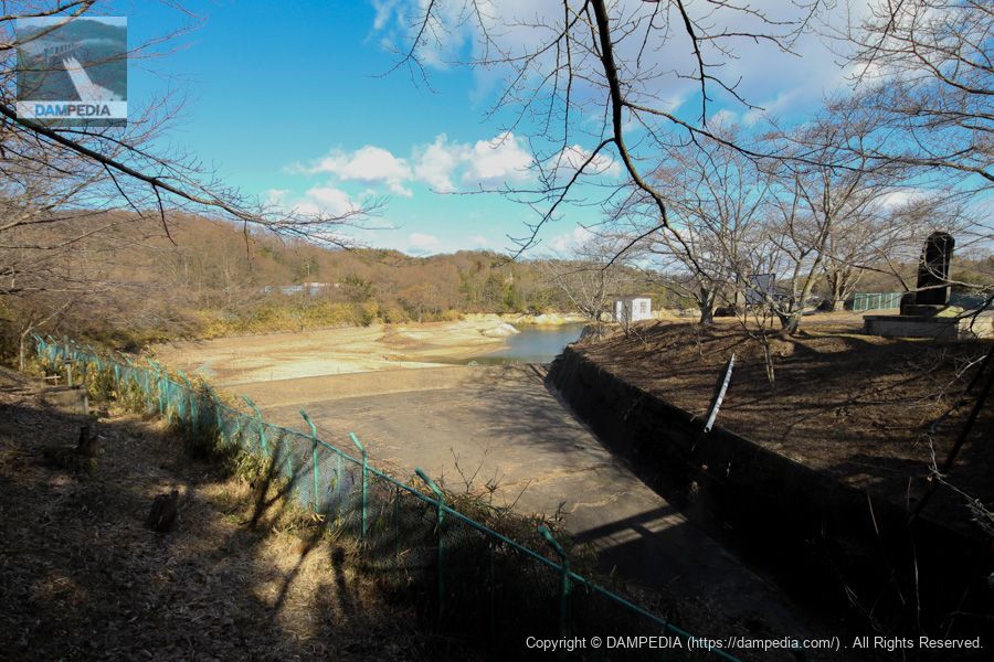
View upstream from the dam site on the right bank
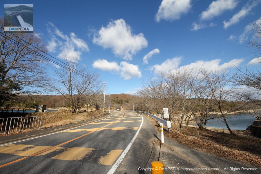
Kuroondo Pond can be seen a little to the left. On the right is Takayama Tameike Pond. The Nara Prefectural Road No. 7 Hirakata Yamatokoriyama Line passes between them. This may have been the bank of Kuroondo Pond, but it is unknown.
Left bank dam site
We drove to the left bank because there was nothing more on the right bank. We found that there was nothing more to see on the right bank, so we drove to the left bank.
View of the upstream face of the embankment from the left bank
The dike appears to be bent slightly rather than straight. Also, you can often see it in agricultural reservoirs at the back.slanted staircase beamThe water intake system is visible.

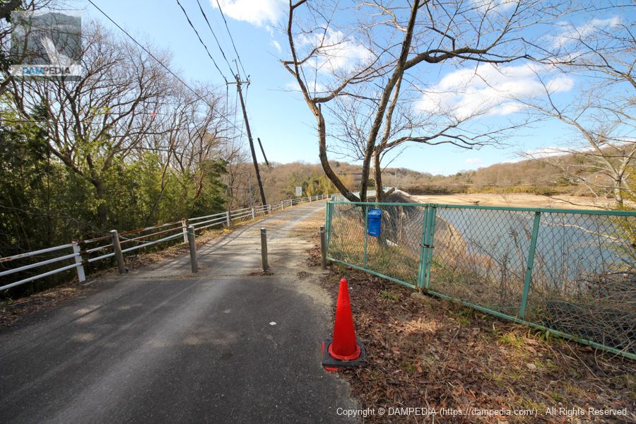
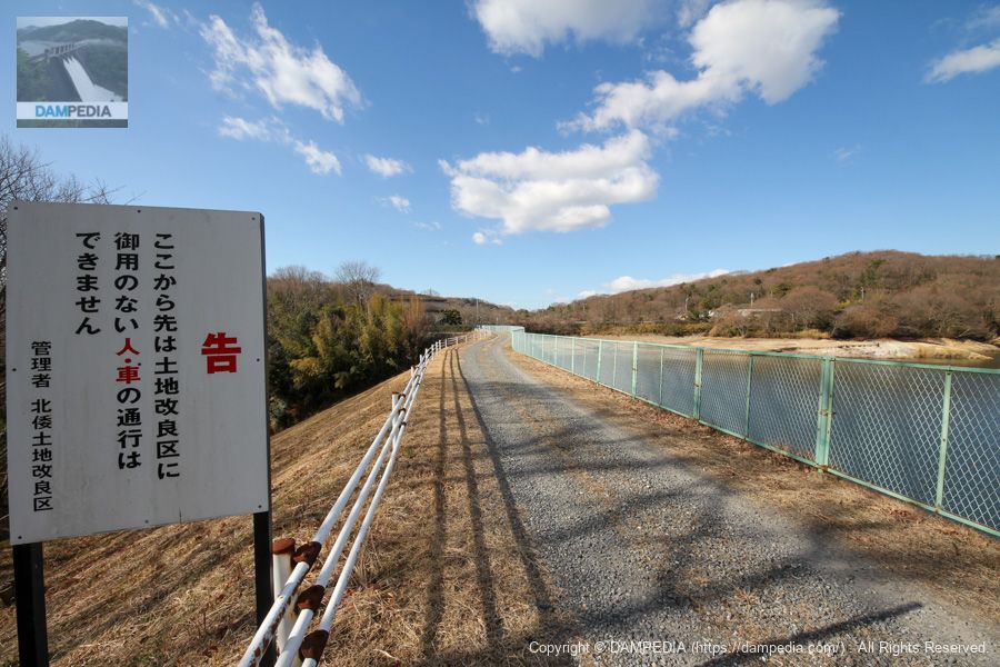
View of the top edge from the left bank
The top end is a gravel road. A white sign can be seen at the far end. I looked closely to see what it was...

View of the top edge from the left bank
The sign read, "From this point forward, there is no access to the road. I interpreted this as meaning that it was OK to go this far and proceeded. However, I believe that if you make a request to the land improvement district, they will allow you to officially visit the end of the road.
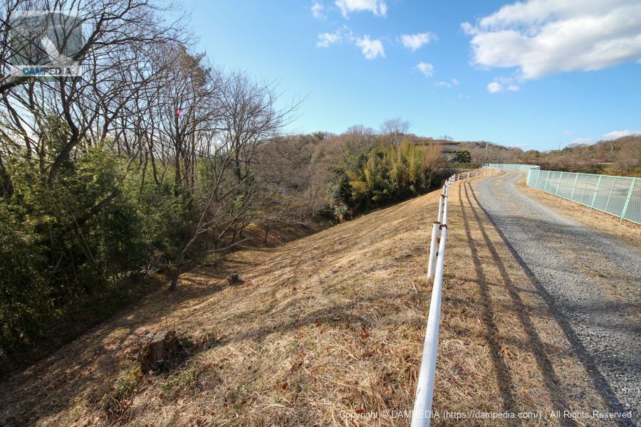
Downstream view of the levee from the left bank
The grass is pleasantly clean and mowed.
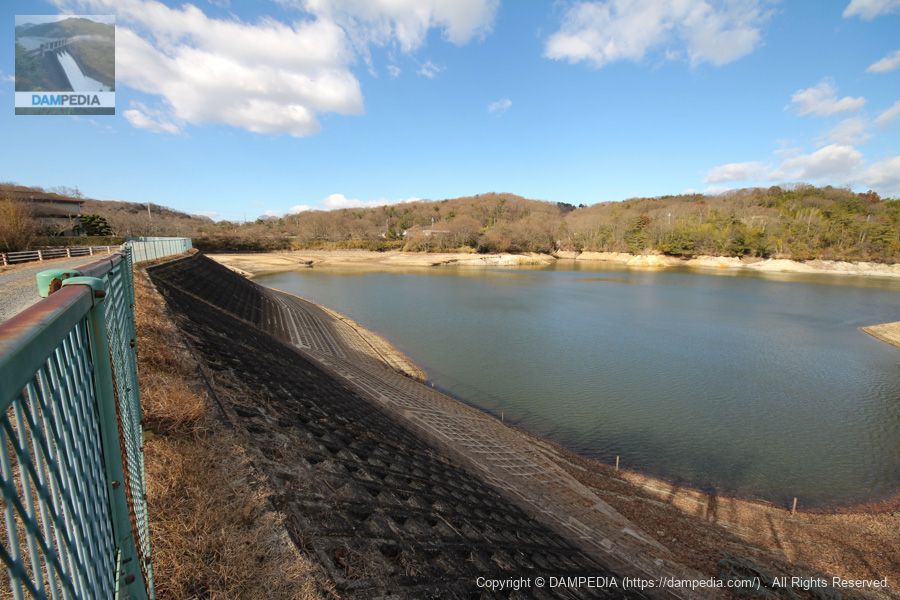
View of the dam lake from the left bank
They have a type 2 demarcated fishing license to farm carp and crucian carp, and fishing is totally prohibited. (Or rather, they say that fishing is punishable by the Fisheries Law.)
Repair marks on upstream face
Part of the upstream face had been repaired and brand new concrete had been poured.
It was a high mountain reservoir that is still useful to the community for irrigation as well as for raising fish.
Alpine Reservoir Specifications
The dam handbook says it was completed in 1956,Ikoma City Pageis listed as being completed in 1964, so we have adapted it here.
| Location | Takayama-cho, Ikoma City, Nara Prefecture |
| River Name | Yamato River System Tomio River |
| Objective | A (irrigation water) |
| Model | E (earth dam) |
| Bank height | 23.1m |
| Bank length | 135m |
| Dam volume | 67,000m3 |
| Watershed Area | 2.3 km2 |
| Reservoir area | 9ha |
| Total storage capacity | 580,000m3 |
| Effective water storage capacity | 580,000m3 |
| Dam operator | Nara prefecture (Kinki area) |
| Main body constructor | Yamagami group |
| Year of launch | 1950. |
| Year Completed | 1964 |
| Name of Dam Lake | - |
Other facilities/observations
All facilities will be at Kuroando Pond.
| Parking lot | ○ |
| Toilet | ○ |
| Park | ○ |
| PR Exhibition Hall | × |
| Fishing | × |
Comment