
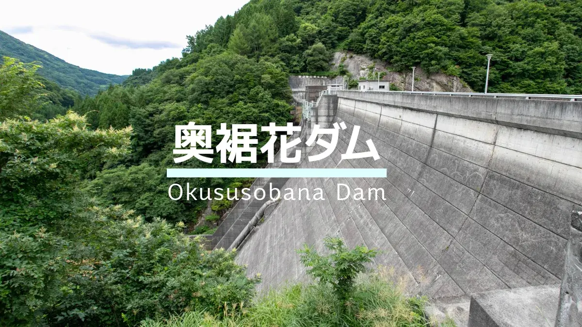
Date of interview: Wednesday, August 9, 2023
The day before, I participated in the "Kuroyon 60th Anniversary Special "Kurobe Dam Tour" and visited Omachi Dam for the first time in a very long time after the tour. The next day, I was planning to visit the Takase Dam, which I had not yet visited, but the weather was too dangerous to go there on foot, so I decided to participate in the "Gurutto Shinshu Dam Tour Dam Stamp Rally 2023" organized by the Nagano Prefectural Bureau of Public Enterprises in a hurry.
To see the stamp rally, please visit this page: 👇️

Since we started from Omachi City, we chose Okusoka Dam as the first dam in the stamp rally. However, you will not receive a stamp here, but at the downstream Susohana Dam. Since the stamp rally is a digital stamp rally that requires GPS location information and data transmission using a smartphone, we chose the Okusosohana Dam instead of obtaining a stamp on-site at the Okusohana Dam, where cell phone reception is difficult and the dam is easily closed to traffic.
Okusoka Dam is located in Kinazato, Nagano City. I visited Kinazato as an elementary school student on a family trip when it used to be Kinazato-mura, Kami-mizuuchi-gun, and I still remember talking with my father about the unusual place name. However, I did not visit the Okusoka Dam at that time.
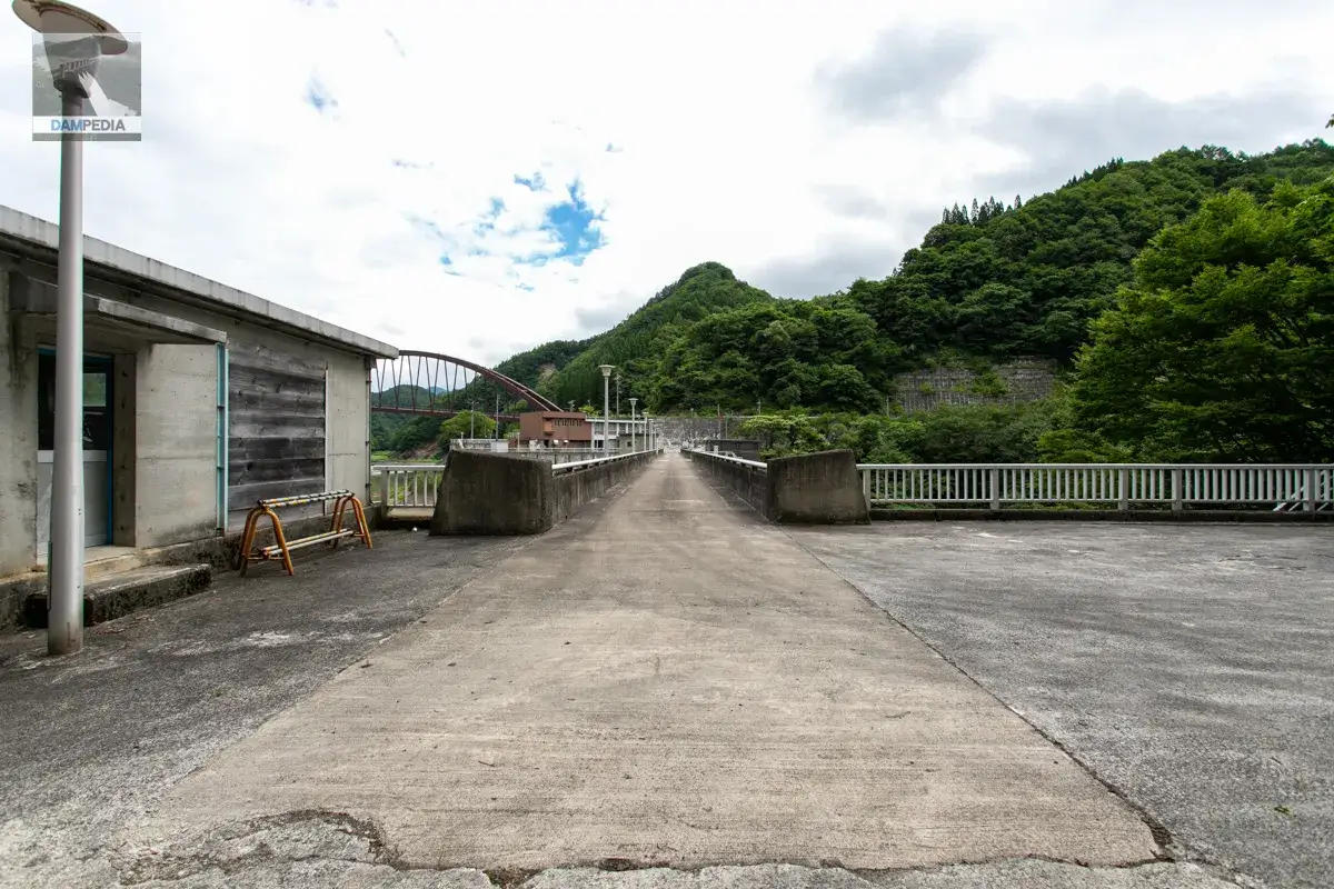
Start with the left bank.
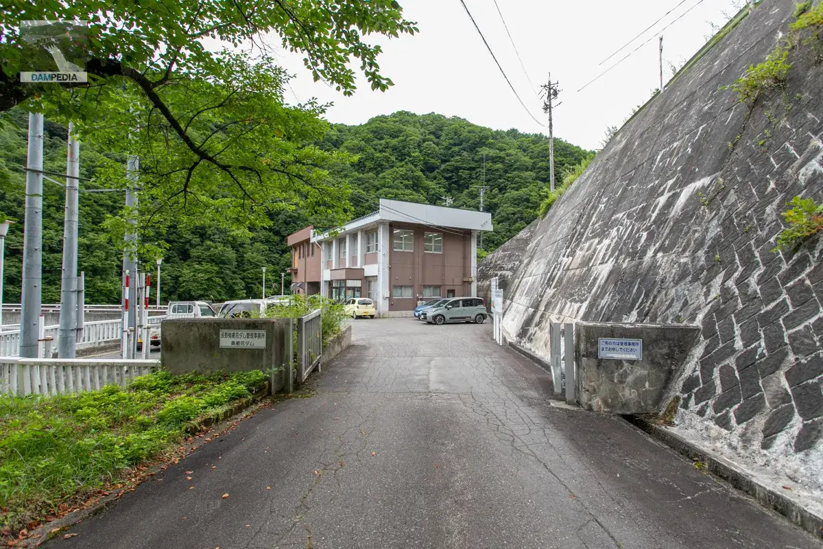
It is a management office, but it seems to be positioned as an outpost of the Susohana Dam Management Office located downstream.
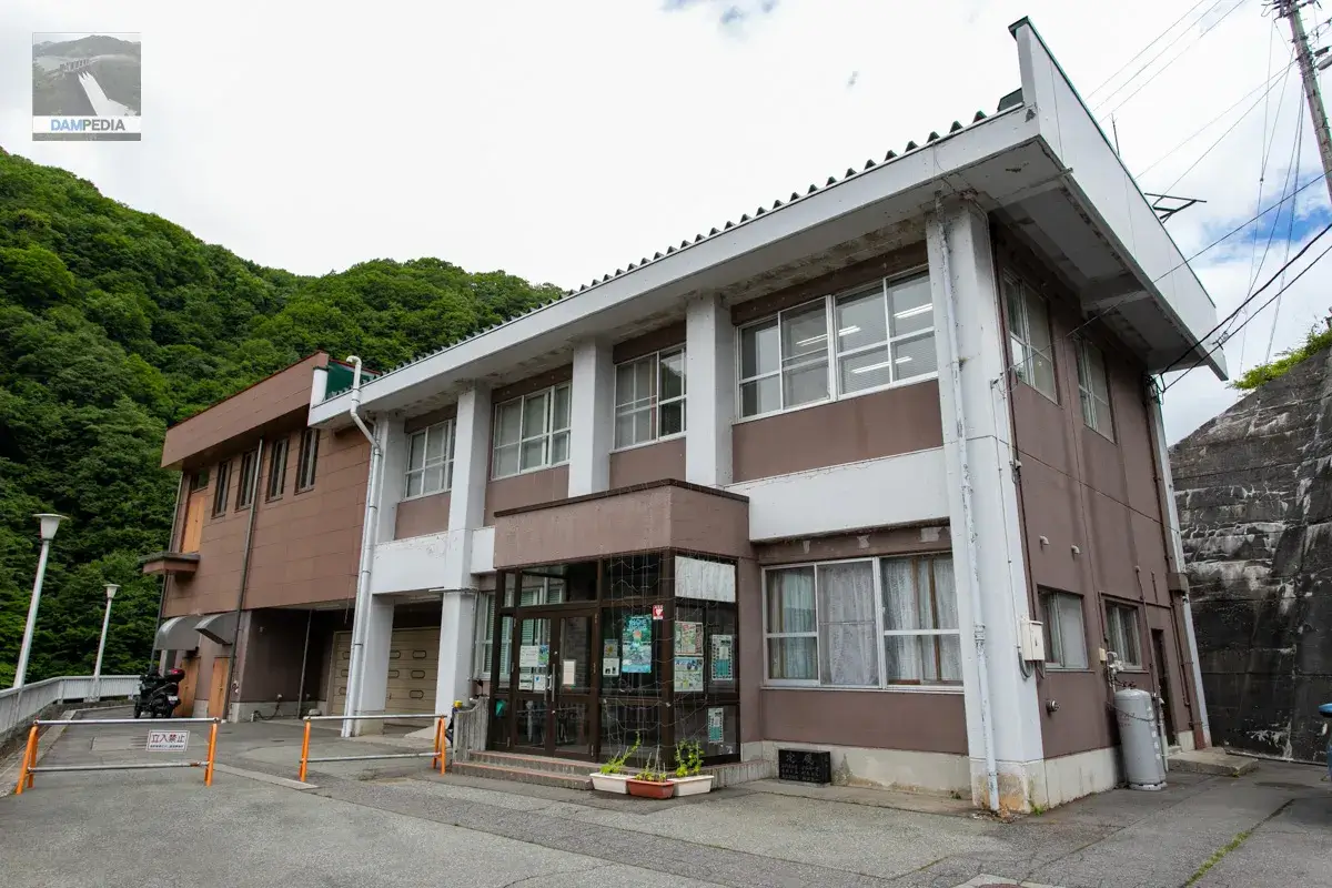
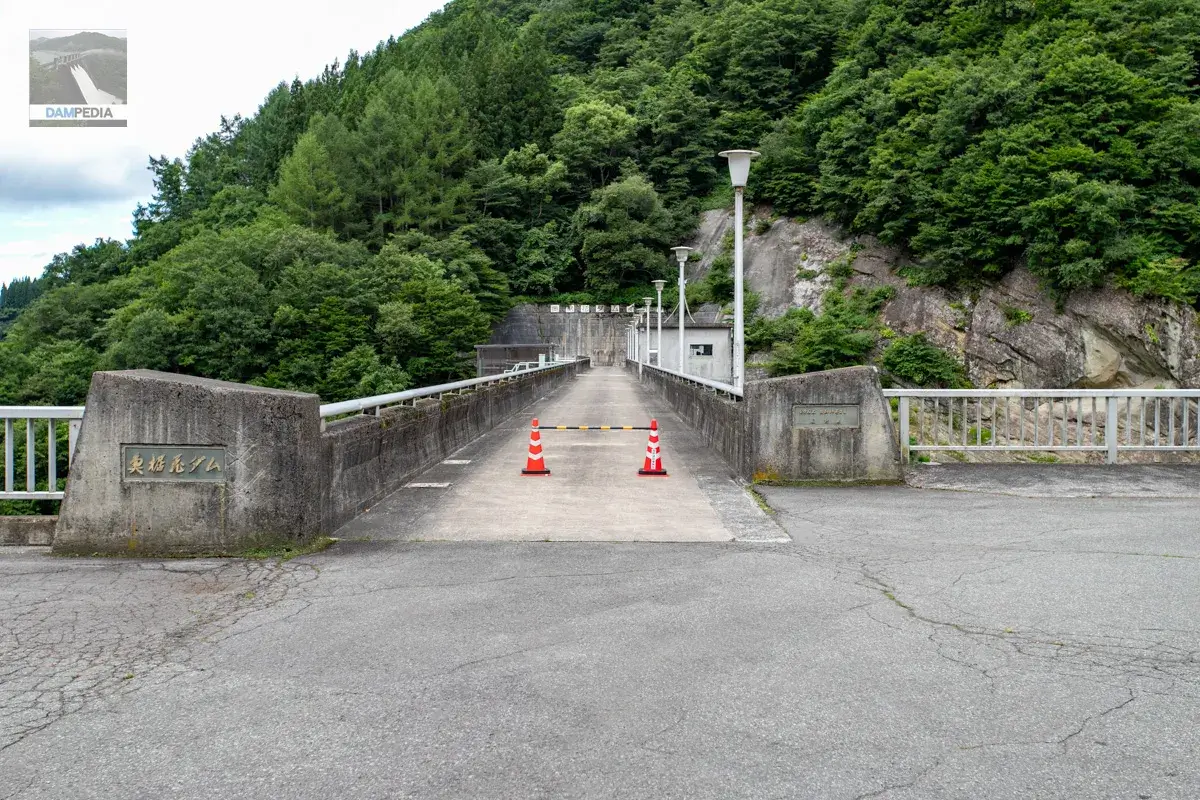
A pylon was placed at the entrance to the top end, and I thought it was off-limits! I thought it was off-limits, but when I asked a staff member about it, he told me that it was just a pylon to stop cars. We also asked if we could approach from the downstream side, but were told that it was completely off-limits. Too bad. I think you can see the downstream side of the embankment during official tours such as the "Friendship Season for the Forest and Lake".
On the right side of the river, there are rocks that appear to have been folded, indicating that crustal movement took place long ago.
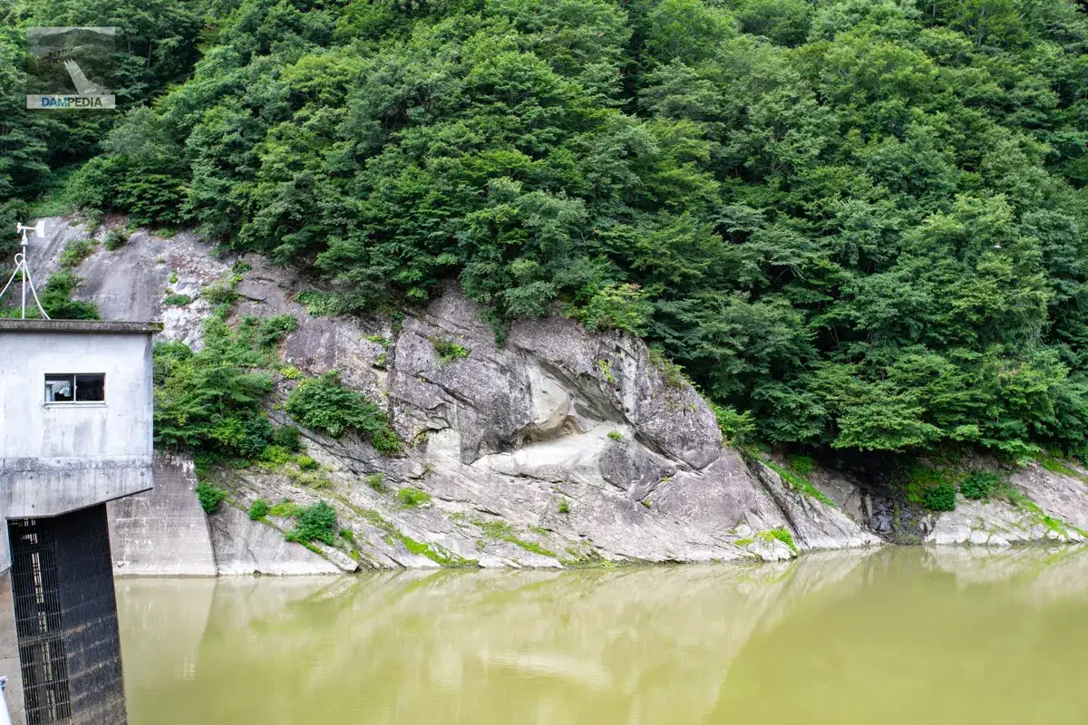
As mentioned above, the road leading downstream is off-limits, so this is the only point where the downstream face of the dike is usually visible.
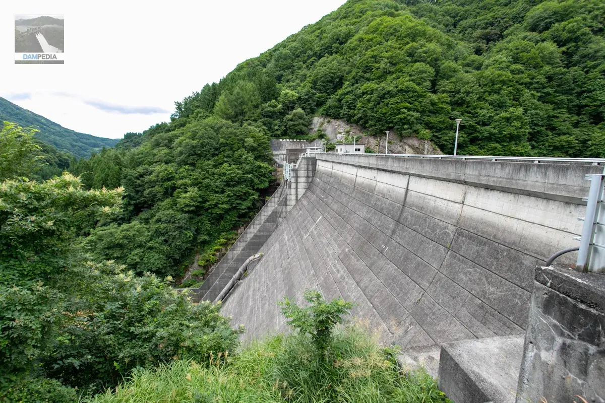
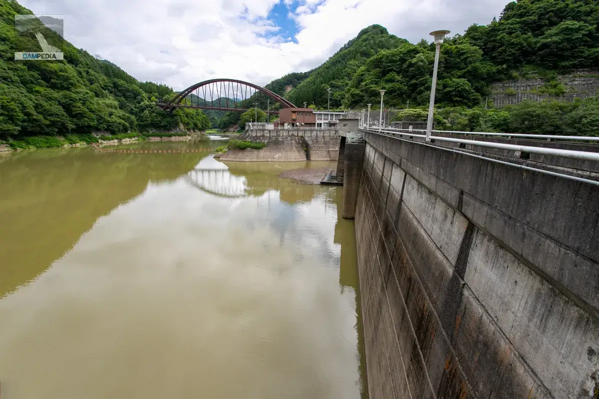
This is the upstream face of the embankment, which gives a strong sense of wall due to the low water level during the summer season.
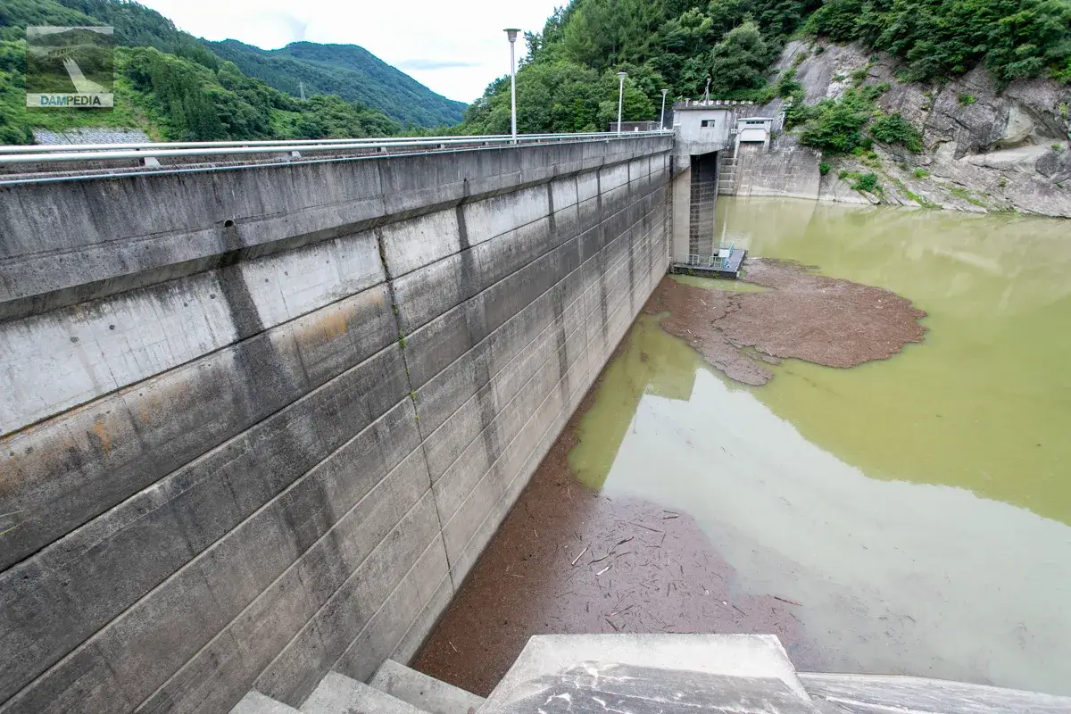
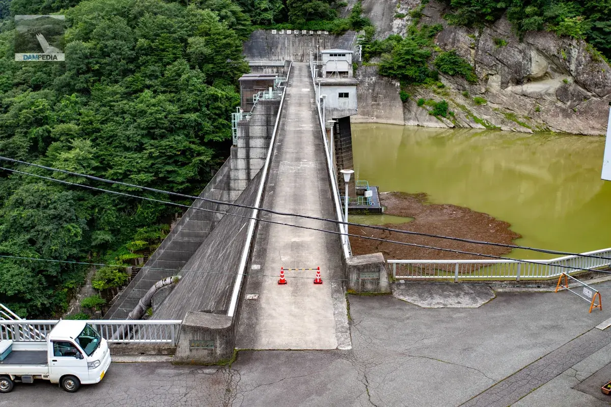
To the upstream side of the top edge
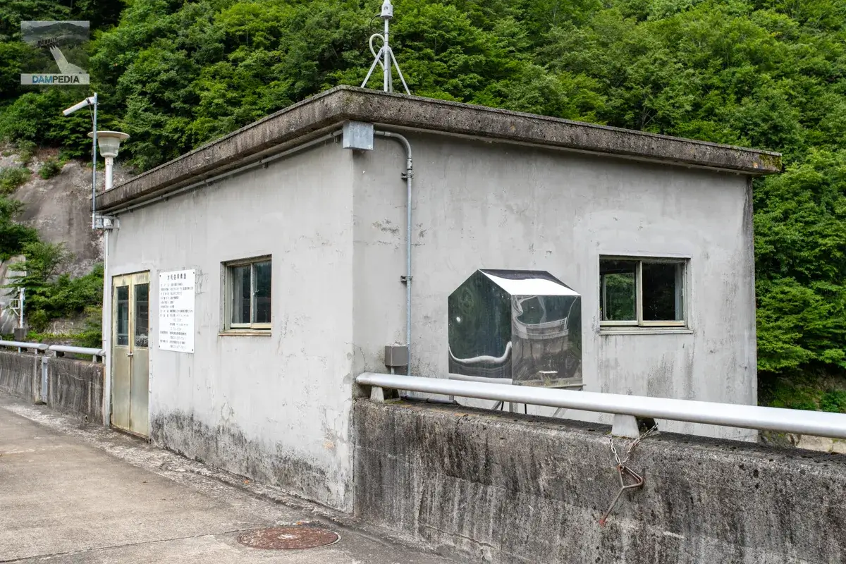
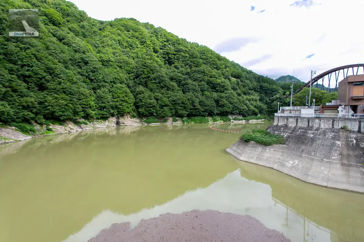
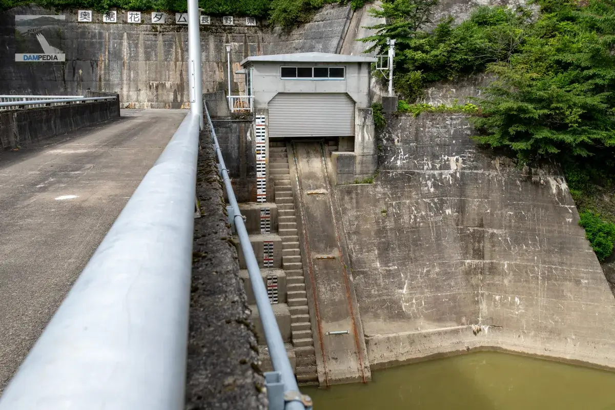
It is a simple water intake facility building with nothing to dress it up.
The reservoir was quite muddy, probably due to the rain until the previous day.
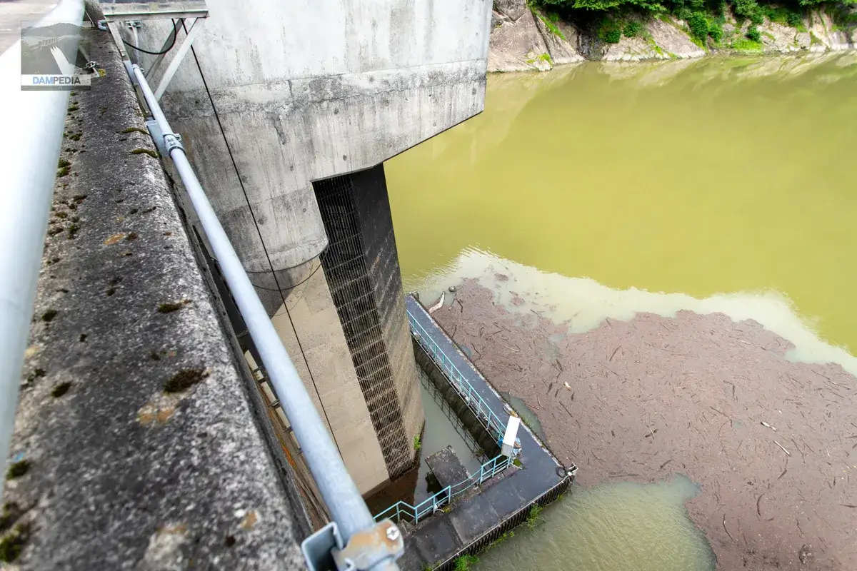
The screen is covered with mud and dirt up to the top, indicating that the water level had risen considerably. Here, 4.00 m3/s is taken to the Okusosoka Power Station (Kinashi Power Station), a dam-type power station located directly downstream of the dam, and 2.53 m3/s to the Okusosoka No. 2 Power Station (Mizubasho Power Station).
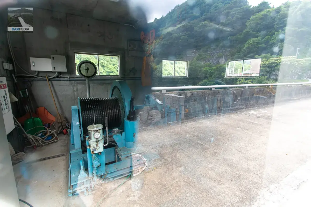
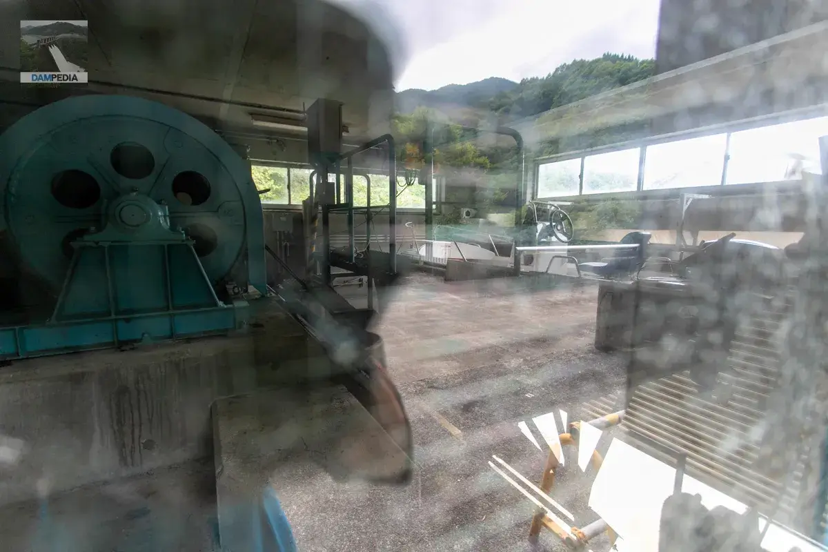
The inside of the water intake system can be seen through the window glass of the hoisting machine room. The reflection is too strong.
This is looking upstream of the crest gate from the top edge. The gate itself is not visible, but soil and driftwood are visible, and grass has grown out of it. This is probably a sign that the crest gate is rarely used.
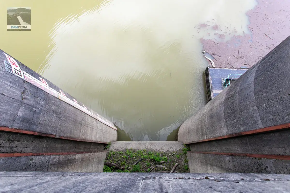
It is a fairly steep incline.
Around the right bank
The Twitter account of the Susohana Dam Management Office sometimes posts photos from an angle looking down on the embankment from the right bank, but I wonder if they might be taken from the top.
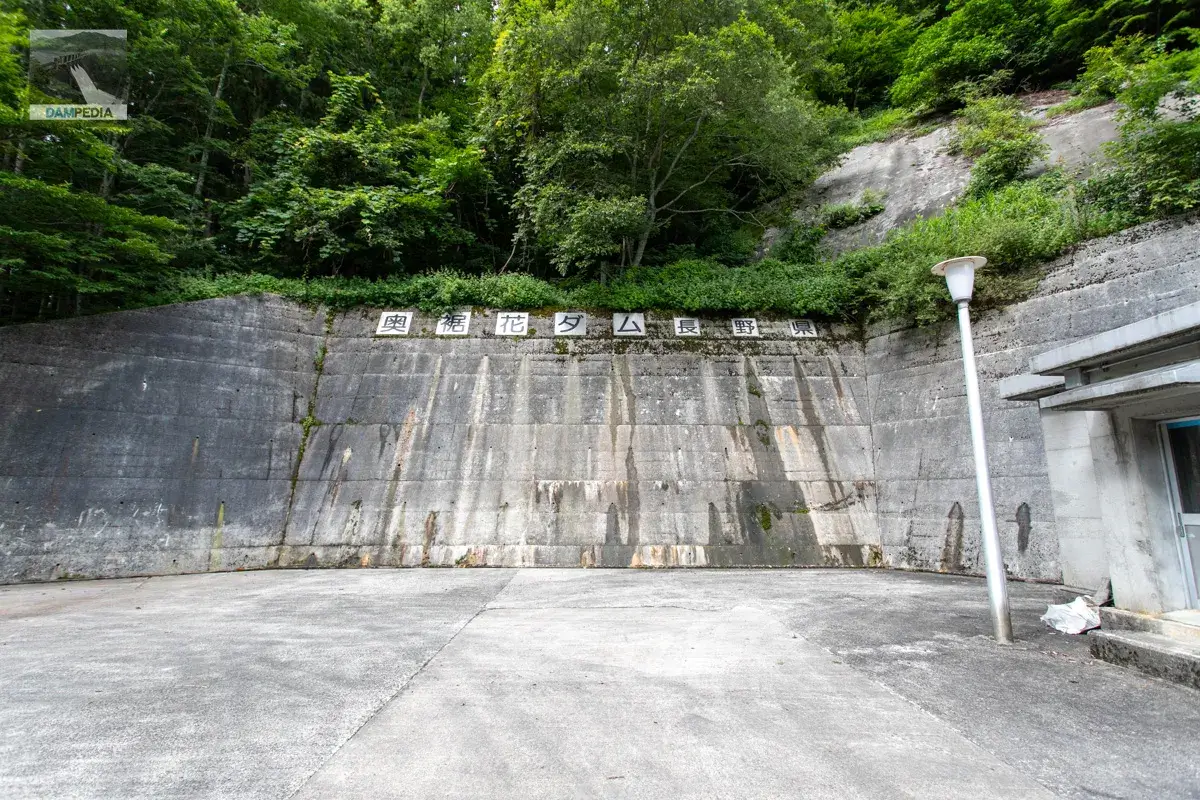
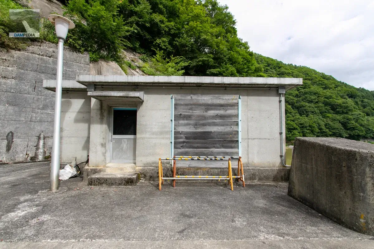
Why are the boards fitted, but were the windows or other openings cracked or broken?
The inside of the boatyard can also be seen through the window glass. Reflections are too harsh, though.
There is nothing noteworthy about the top edge, but what bothered me a little was that the road leading to the Okusoka Valley is much higher than the top edge. I thought that if the top end was brought to this height, more capacity could be gained... but perhaps the ravine would be submerged in a larger area and the construction cost would go up, so it was settled at this bank height.
The storage capacity for power generation is 15,000 m3 during the flood period (June 20 to September 30) and 2,700,000 m3 during the non-flood period (October 1 to June 19), showing that the capacity is literally an order of magnitude more open during the summer months.
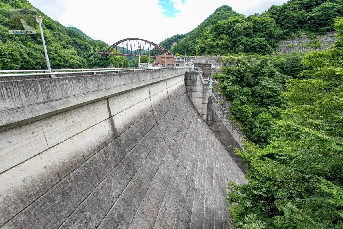
Like the left bank, this is the best we can do of the downstream face of the dike as seen from the right bank. (However, it seems that there is actually a point of view on the road side.)
To top end (downstream)
The downstream side is simple, perhaps because the winding machine room of the crest gate is lower than the top edge.
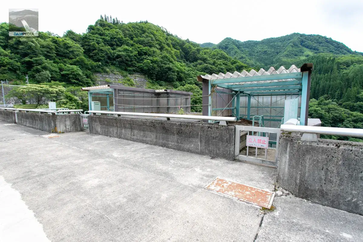
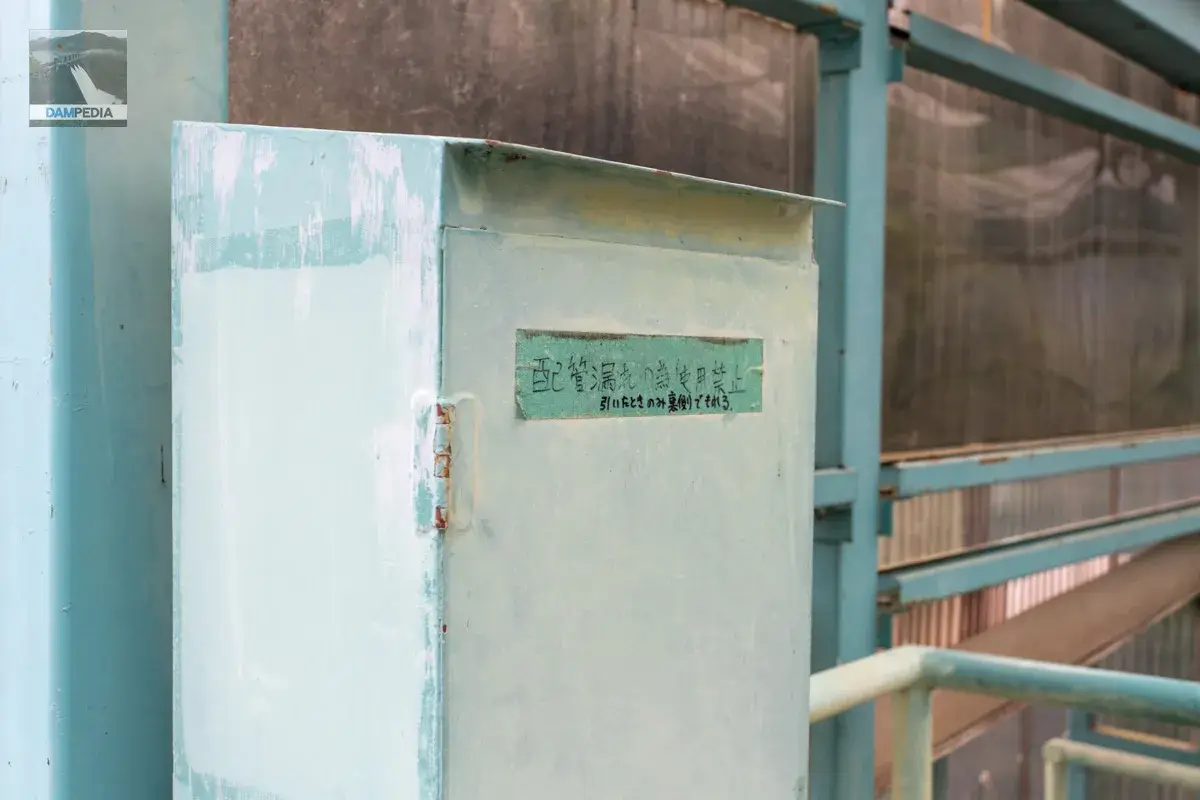
The wall box door is covered with masking tape, and it says, "Not to be used due to plumbing leak," and "Only leaks on the back side when pulled." I wonder if oil has leaked out of the wall box.
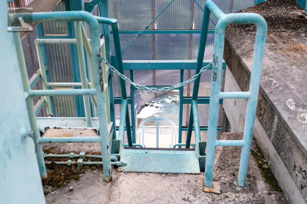
Stair ladder leading to the crest gate.
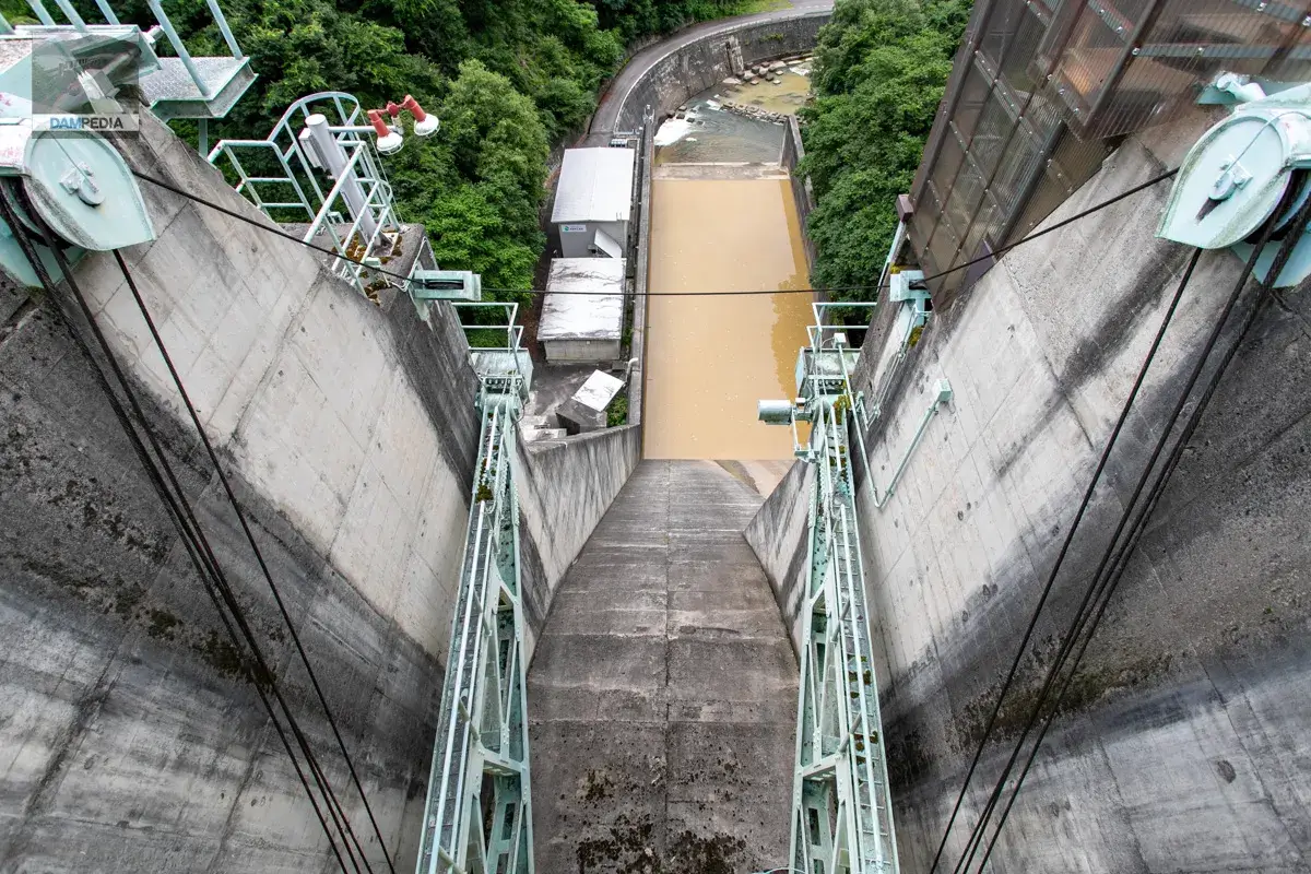
The water stored in the abatement pond was completely brown and muddy, probably due to the heavy rainfall in the immediate area.
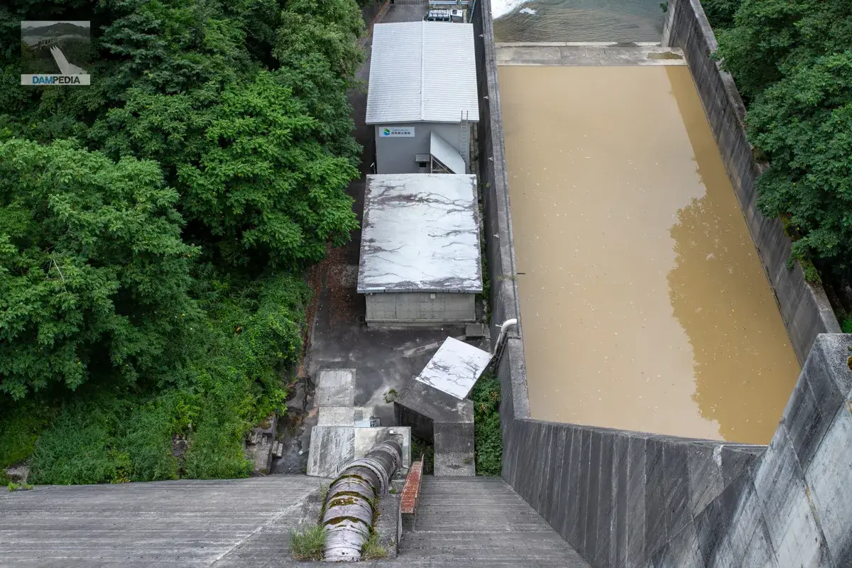
In the foreground is the Okusosoka Power Plant (nicknamed Kinazane Power Plant), which was installed along with the dam construction and supplies power to the Nagano Prefectural Government using a self-commissioning system. This is said to be the reason why 100% of the electricity used at the government building is renewable energy.
The new building in the back is the Okusosoka No. 2 Power Plant (nicknamed "skunk cabbage power plant"), a relatively new power plant that opened in April 2009. It was constructed to make effective use of water that was being discharged from the dam because it could not be fully utilized at the Okusosoka Power Station.
Walking around the left bank
Upstream from the Okusoka Dam is the Okusoka Gorge, a scenic spot designated by Nagano Prefecture. According to a signboard at the site, "This canyon area has a series of 100-meter-high cliffs for a total length of about 5 km, as the Susoka River flows south through the Tertiary-age sandstone and conglomerate beds.
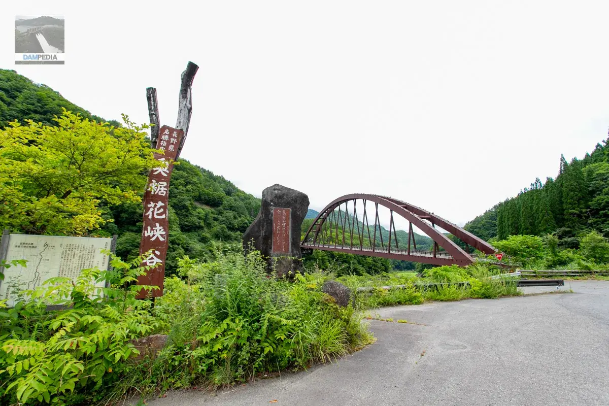
It is said that this canyon is characterized by many academically valuable features such as sunshade mangroves, cuesta landforms, trace fossils, thousand-keel rocks, and hachinosiform weathering. It is also said that it has been selected as one of the "100 Best Natural Features of Japan to Leave for the 21st Century" and "100 Best Natural Features of Nagano Prefecture.
However, we could not see them because the road was closed from this point onward.
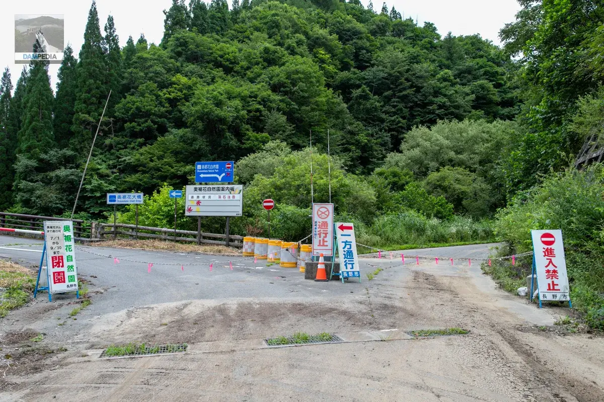
A monument stands at the entrance to Okusoka Valley.
If you must seek, even if you do not know the end of your heart
Urami no Yama" (Mountains of Urami) monument
The mountain's lush vegetation is a source of regret for many people.
It is said to be a poem by Jusanmitanezane, included in Fuboku Wakasho, a collection of poems compiled by Fujiwara no Nagakiyo in the Kamakura period. According to the poem anthology "Yakumo Misho," "Urami no Yama" is said to be located in Shinano, and according to Zenkoji-michi Meisho Zue, Urami no Yama can be seen from the road passing over the Tsuchikura-mura pass, with Togakushi Mountain on the right (that is, in this area), from Oninasato to Echigo.
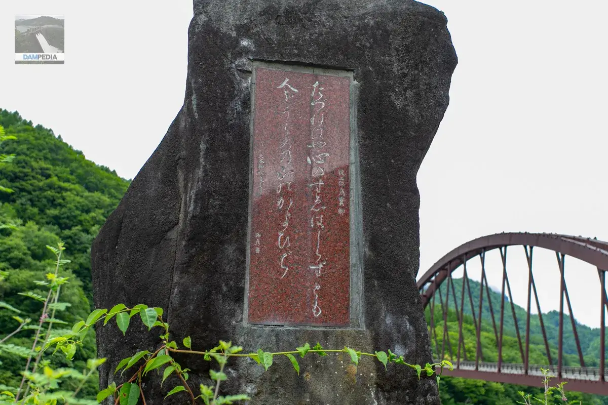
The meaning of the song is something like, "You never know how people's hearts will change. Even though the road ahead may be steep, hard, and harsh, I will visit you, who have become so indifferent to me.
The road to the dam is also a steep one to visit, isn't it?
Going down the slope from the monument, we came to a spot where we could look up at the Okusoka Bridge. The slope further on seems to have been a place where a netting area was fixed.
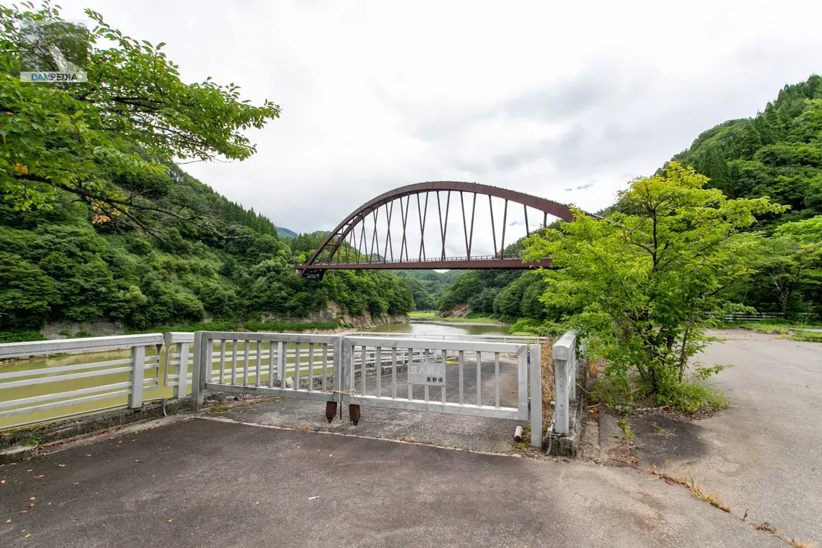
The upstream side of the left bank was slightly elevated, from which we could see the upstream side of the embankment.
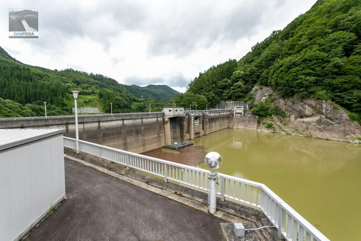
The road on the left bank is higher, so you can feel the dam dam damming the water, but you may not feel that much because of the low water level. Still, it is a pretty good angle.
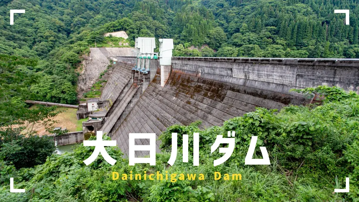
The access road is sometimes blocked by landslides, so you have to be careful, but if you have the chance, you should definitely look up from downstream to see the Okusoka Dam.
Okusoka Dam Specifications
| Location | Kami-tokura, Oninasato, Nagano City, Nagano Prefecture |
| River Name | Susohana River, Shinano River System |
| Objective | F (flood control, agricultural disaster prevention) W(Water for water supply) P(Power generation) |
| Model | G(gravity-fed concrete dam) |
| Bank height | 59m |
| Bank length | 170m |
| Dam volume | 152,000 m3 |
| Watershed Area | 65km2 |
| Reservoir area | 30 ha |
| Total storage capacity | 5,400,000 m3 |
| Effective water storage capacity | 3,300,000 m3 |
| Dam operator | Nagano prefecture (Chuubu area) |
| Main body constructor | set of staggered shelves |
| Year of launch | 1969. |
| Year Completed | 1979 |
| Name of Dam Lake | - |
Other facilities/observations
| Parking lot | ○ |
| Toilet | × |
| Park | × |
| PR Exhibition Hall | × |
| Fishing | ○○ (excluding no-take zones) |
| Viewing platform | × |



Comment