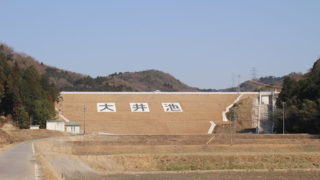
 Dam in Aichi Prefecture
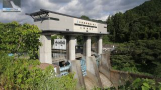
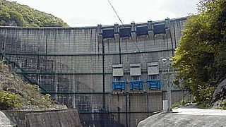
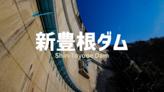
1229-Shin Toyone Dam
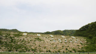
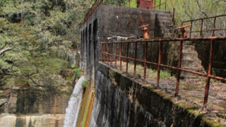
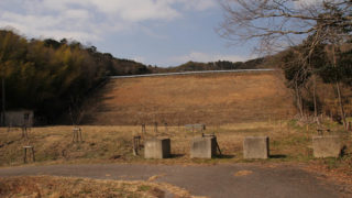
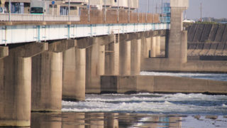
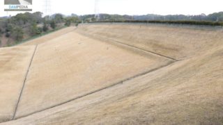
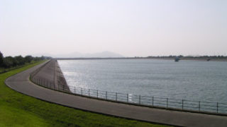
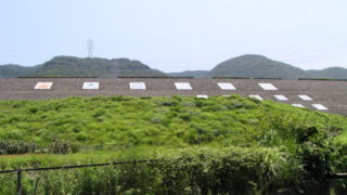
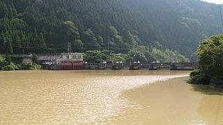
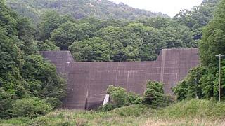
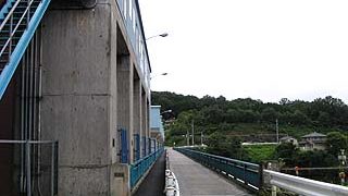
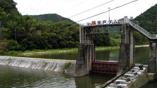
The day after the memorable 1st Gathering with Dam Lovers in Agigawa Dam, we decided to go and get an instruction manual for the new Toyone Dam card together! We were given an opportunity to visit the inside of the dam. The bones (?) of the aggregate of the Shin-Toyone Dam. The inside of the Shin-Toyone Dam