 Niigata Prefecture Dam
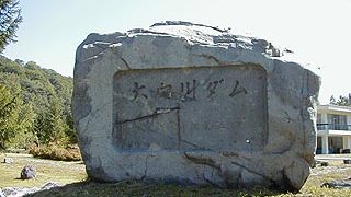
0773-Nii Dam
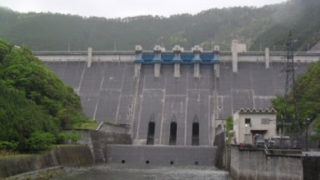
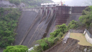
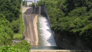
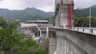
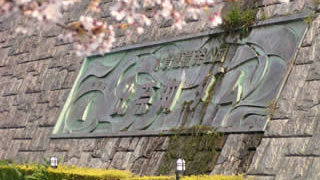
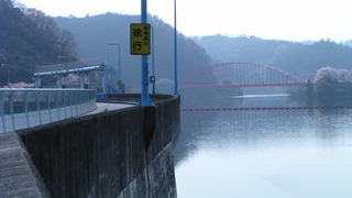
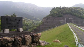
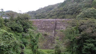
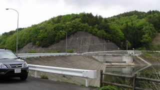
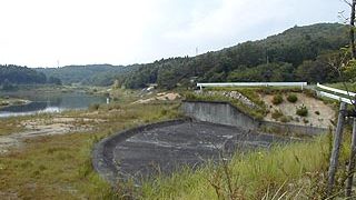
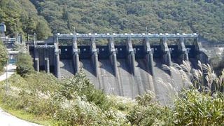
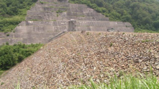
The lower dam, where pumped-storage power is generated between the upper dam, Kassa Dam, and the Nii Dam, is the Nii Dam. If you are coming from Gunma, drive north on the Mikuni Kaido road for a while after entering Niigata Prefecture, and you will see a sign on your right hand side. This is a great area for a drive, so please stop by. / Rockfill dam / 87m