
Location: Magajo-cho, Seto-shi, Aichi, Japan
unintentionallydam handbookI was looking around the city of Seto when I discovered that there was a municipal dam in Seto City. Moreover, I heard that a certain master could not go there, so I skipped the road I was used to driving and went to the Bagejo Dam.
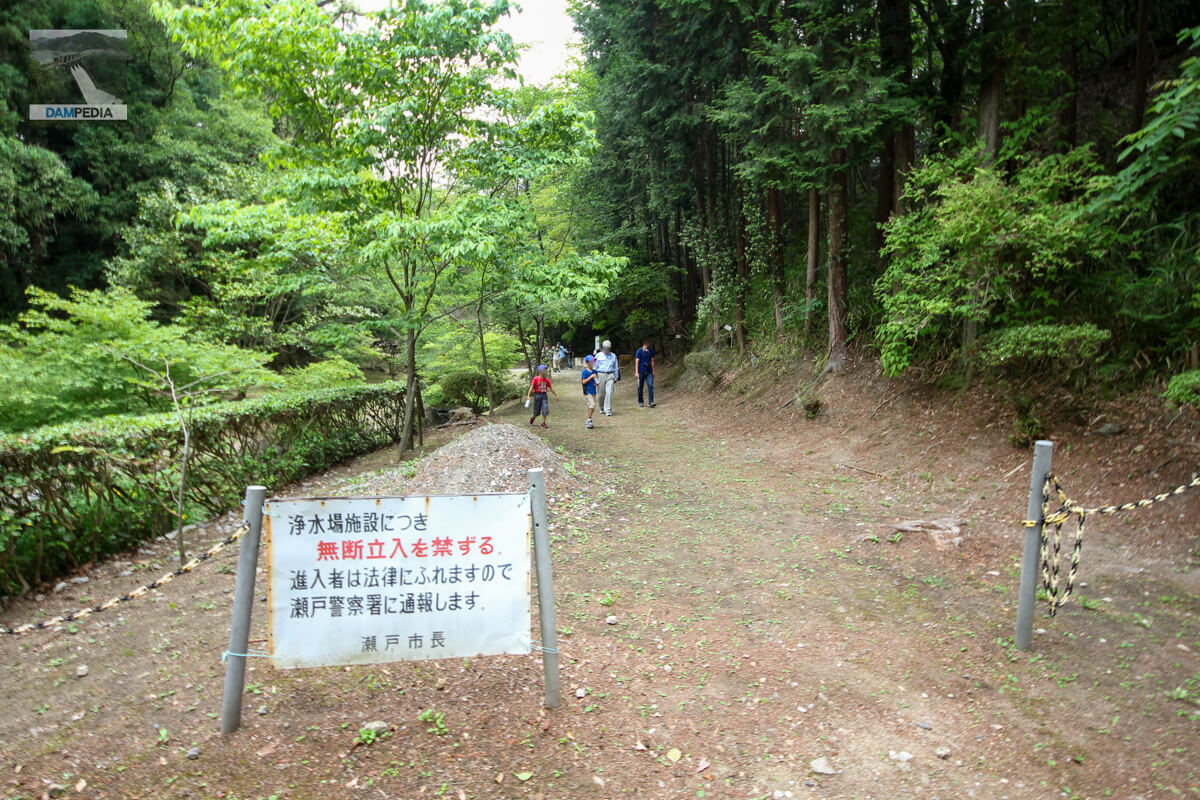
No trespassing...
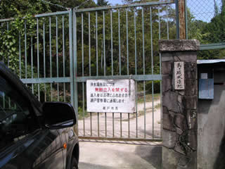
I thought I got there so easily, and then suddenly this.... I wonder if this is what the master meant when he said, "I couldn't get there"....
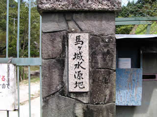
Magajo Water Source
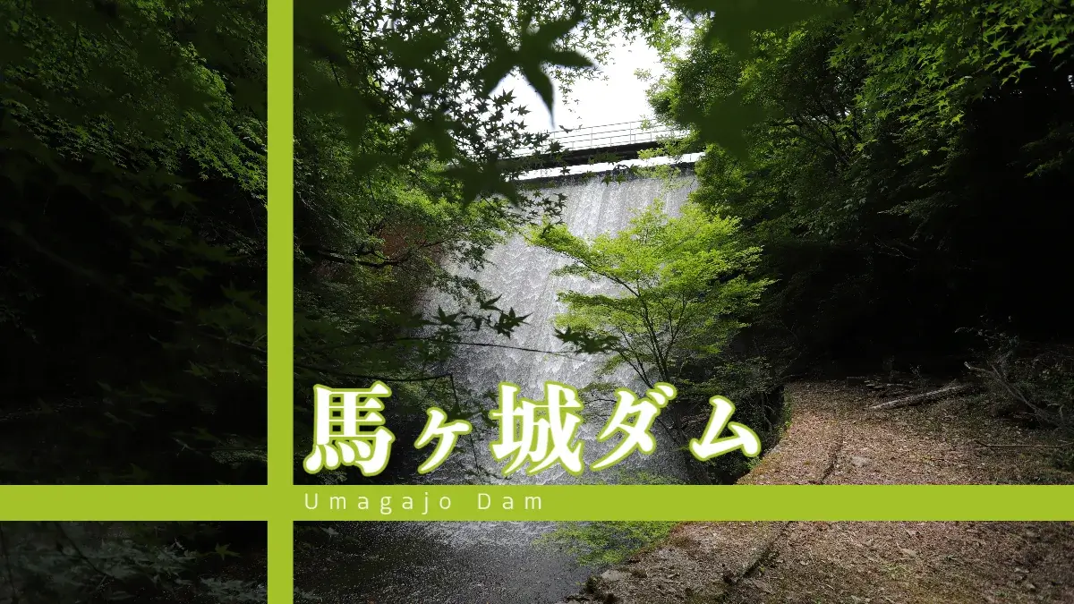
."description of a dam climateI had heard that the scaly flowing water was so beautiful that it reminded me of the Hakusui weir in Oita Prefecture....
I took a picture of the nameplate (?) out of frustration.... I took a picture of the front tag (?)....
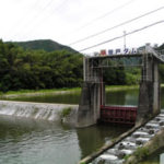
I'm sure the levee is just up ahead...
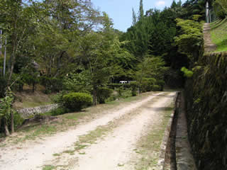
Even more frustratingly, I took this photo from between the gates. Aha, what a disappointment... orz
dam characteristics
| Model | gravity-fed concrete dam |
| Objective | water for drinking water |
| Bank height | 16.6m |
| Bank length | 54.5m |
| Dam volume | 6,000m3 |
| catchment area | 0km2 |
| Reservoir area | 0ha |
| Total storage capacity | 200,000m3 |
| Effective water storage capacity | 199,000m3 |
| Name of Dam Lake | Magajo Reservoir |
| River Name | Shonai River System Furusedo River |
| Year of launch | 1931. |
| Year Completed | 1933 |
| Access to D@M | Get off at Nagakute IC of Nagoya Seto Road, which was built for the Expo→Take Prefectural Road No. 6 eastward with the Expo site on your right (be careful not to wander off) →Get off at Yakusa IC→Turn left at "Yakusa IC Kita" signal intersection→Turn north on National Road No. 155 for about 6 km→enter central Seto City, turn right at "Memorial Bridge Kita" signal intersection and go east on National Road No. 248 Go east on Route 248→pass the "Higashi Koseto-cho" signal intersection and turn right before the Eneos gas station on the right→turn left at the T-junction→there is a gate to the Bagejo water source area |
Other facilities/observations
It is indeed a disappointing result. However, if you ask Seto City, you may be able to visit the site.
(Added 6/24/2018: The first Sunday of June is the annual tour.)
| Parking lot | ○ (only on days open to the public) |
| Toilet | ○ (only on days open to the public) |
| Park | × |
| PR Exhibition Hall | ○ (only on days open to the public) |
| Fishing | × |
...and this was the story of my visit on August 28, 2004. A few years later, I heard that the Bajo Water Treatment Plant was open to the public only once a year on the first Sunday of June during Waterworks Week, and that I could visit the Bajo Dam only then. However, I was too busy with work and other things to visit the dam, and finally had the chance to visit on June 2, 2013.
Bagejo Water Filtration Plant Open to the Public on June 2, 2013
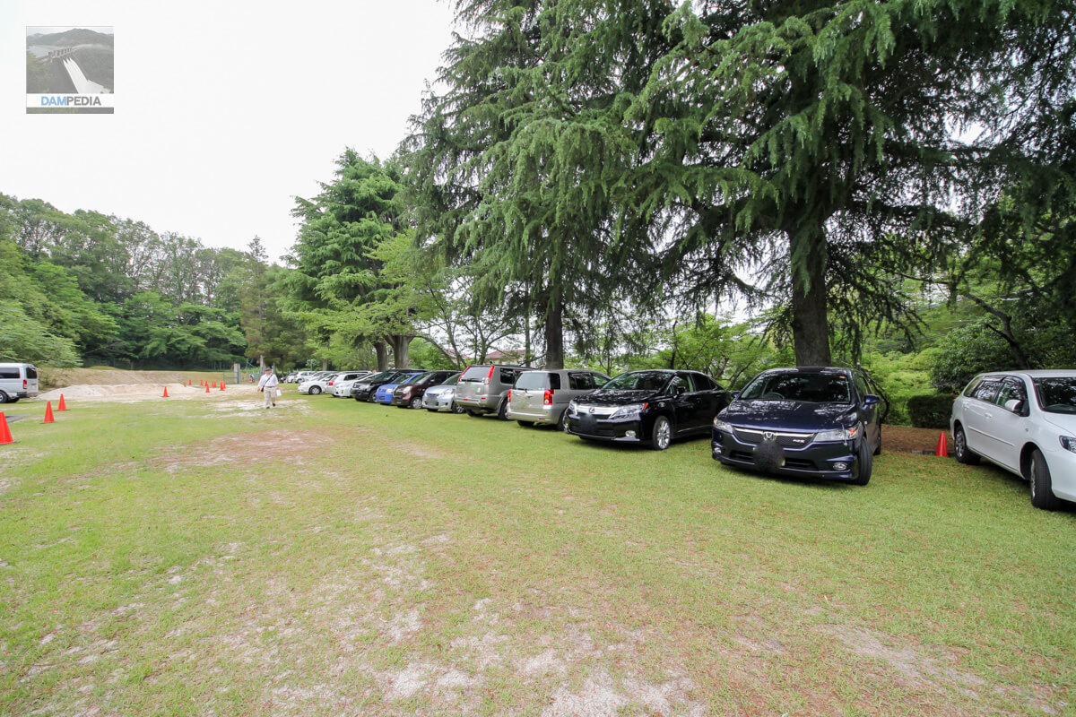
At this time, we were still able to park within the grounds of the water purification plant. The tree beyond the car is a Himalayan cedar, which is designated as a famous tree of Seto City.
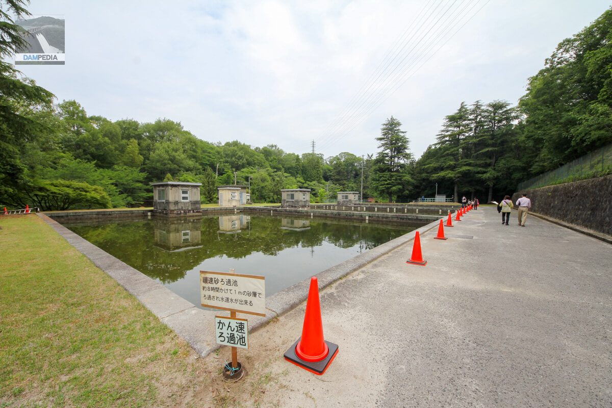
It is a slow filtration pond just inside the main gate. I wrote that... but it is correct, isn't it?
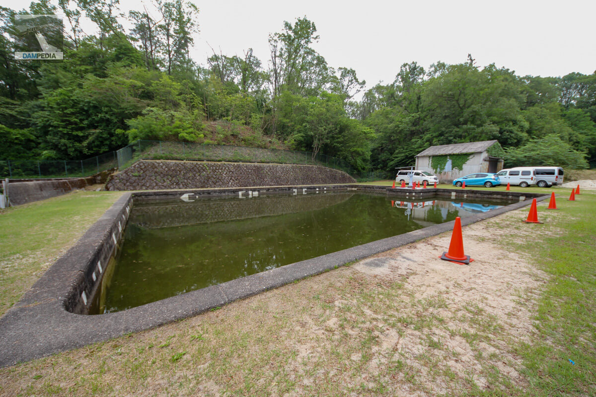
Modern water purification plants generally use rapid filtration, in which chemicals are added to purify water. However, the Bagejo Water Filtration Plant uses a traditional method called slow filtration. In slow filtration, water drawn from the valley is filtered through a 1-meter layer of sand at a slow rate of 4 to 5 meters per day for about 8 hours.
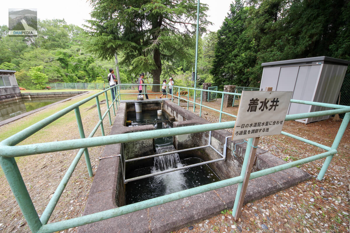
It is this well that adjusts the filtration volume of raw water sent from the intake facility to match the daily water distribution volume. Incidentally, there is one more Chakusuisei at the Magajo Water Filtration Plant, called the Akatsu Chakusuisei (see below). (See below).
Slowly and surely you will approach the embankment. After passing the slow filtration pond and the water landing well, you will see a staircase going down at the back, and after descending it, you will arrive at a little garden-like plaza, as shown in the photo below.
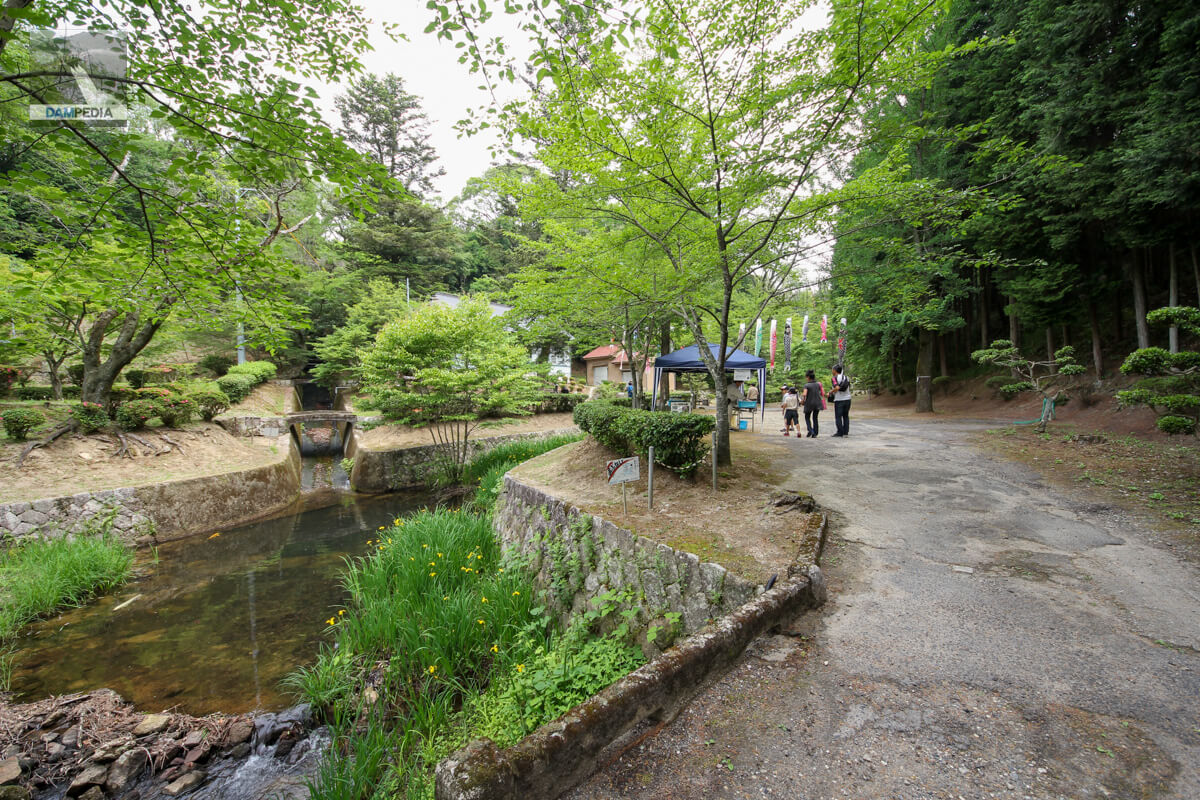
A tap water tasting corner was held there. You can do something like listening to water.
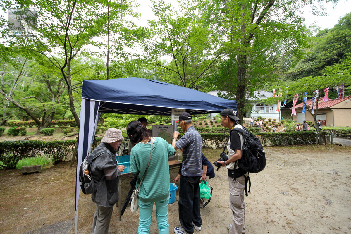
The light blue wooden building seen behind the tasting corner is the water source office. It is a Showa-era retro building that has existed since the time the water purification plant was constructed.

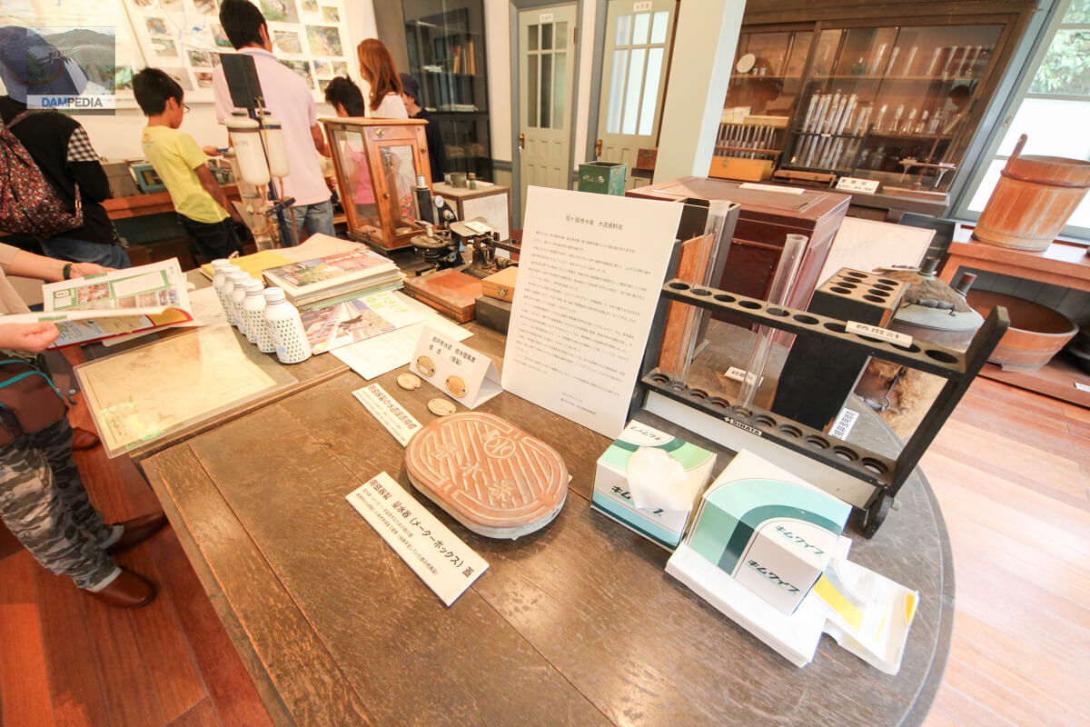
Inside is a waterworks reference room where visitors can view valuable materials and exhibits. It is very Seto-like that the waterworks installation indicators and water meter lids are made of ceramics, but it is said that the water meter lids were substituted due to the shortage of iron during the Pacific War.
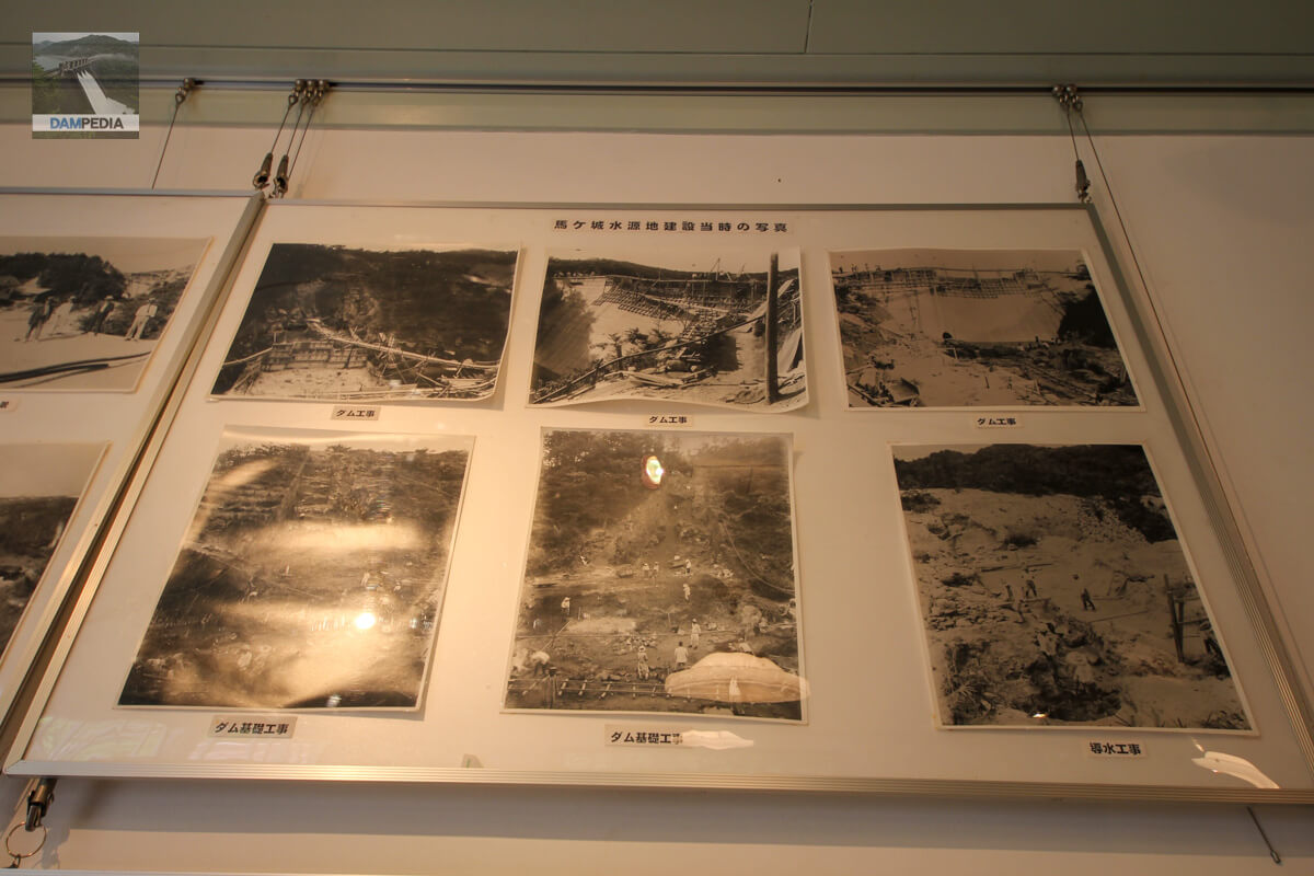
Rare photos of the water treatment plant and dam construction are also displayed.
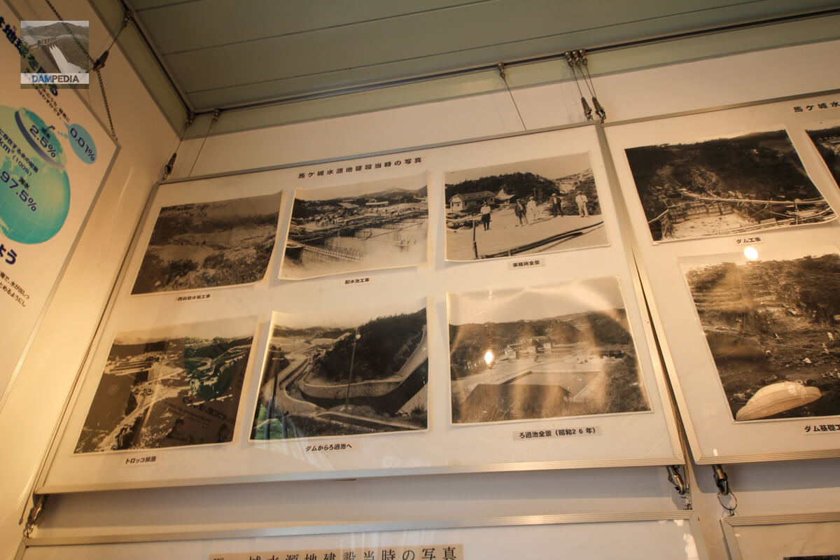
At the time of completion of the construction, there is a photo showing a fake koi carp climbing up the conduit.
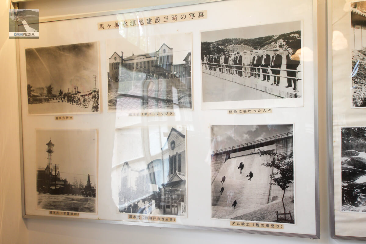
This is a rare photo from the early Showa period.
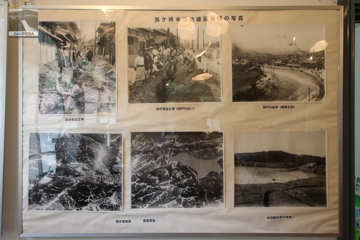
There is also a photo of the Magajo Dam under construction. People are not wearing helmets because of the era💦.
The track is also visible, so it appears that trolleys were used to transport excavated soil and other materials.
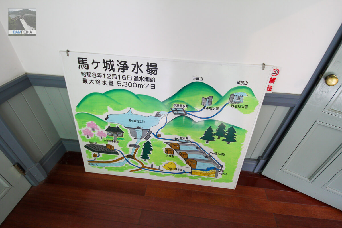
This is an easy-to-understand overall view of the Magajo Water Treatment Plant. The Nishitani intake plant takes water from the Yamaji River, which flows through the valley of Sanageyama, and the Motoya intake plant takes water from the Akatsu River, which flows through the valley of Mikuni Mountain. The Nishitani and Motoya water intake sites and the Akatsu water well are naturally closed to the public. This is natural because they are important facilities that affect the lives of Seto citizens.
The Bagajo Dam, which would normally be reported to the Seto Police Station for trespassing, is open to the public only on the first Sunday of June every year. (Come to think of it, as of 2023, there is no sign in the photo below...)
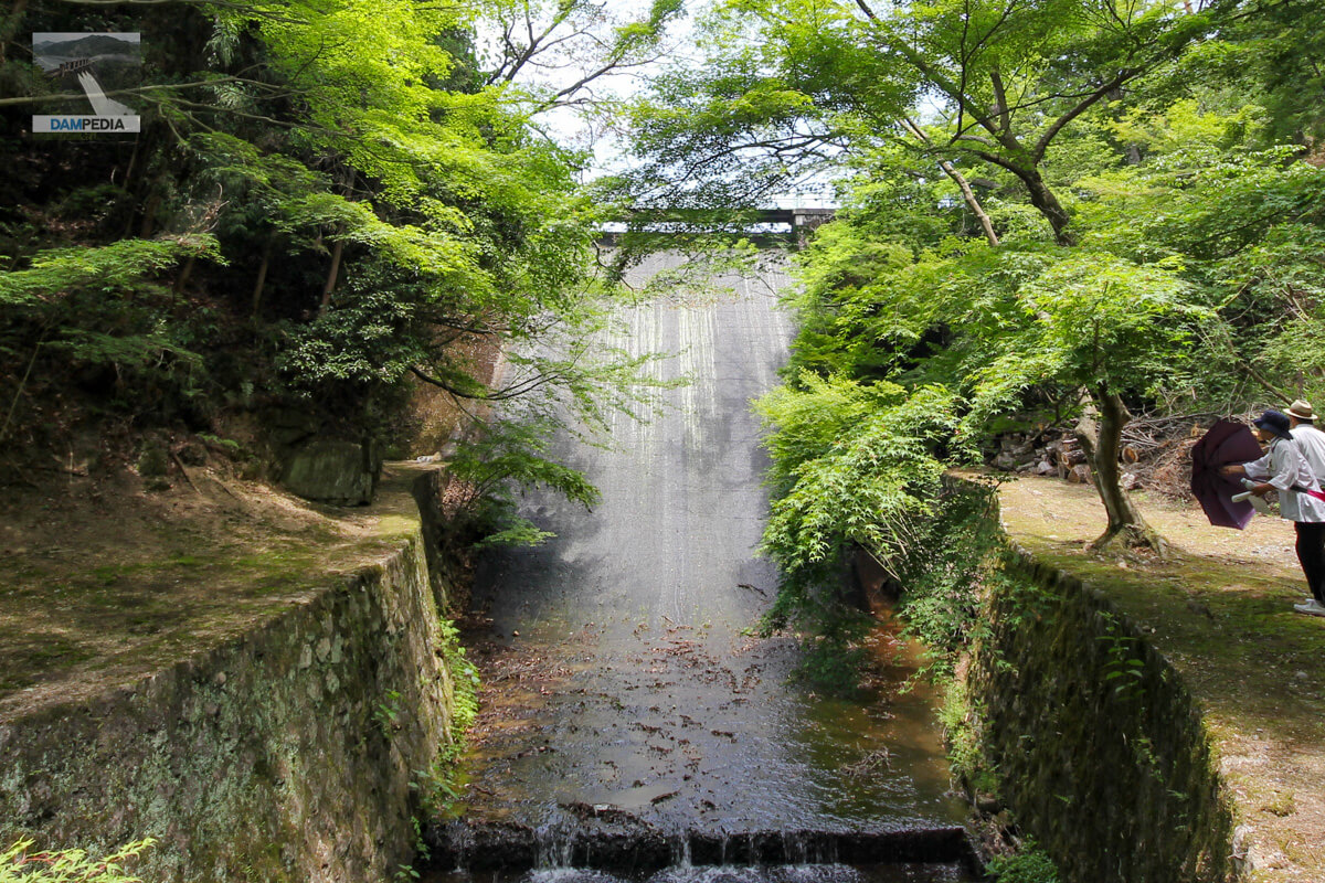
This is a picture of Magajo Dam, which I was able to see after 9 years of waiting. Unfortunately, there was not much water on that day, and the overflow was only moist and wet. Even so, I was thrilled to see Bajajo Dam in person for the first time.
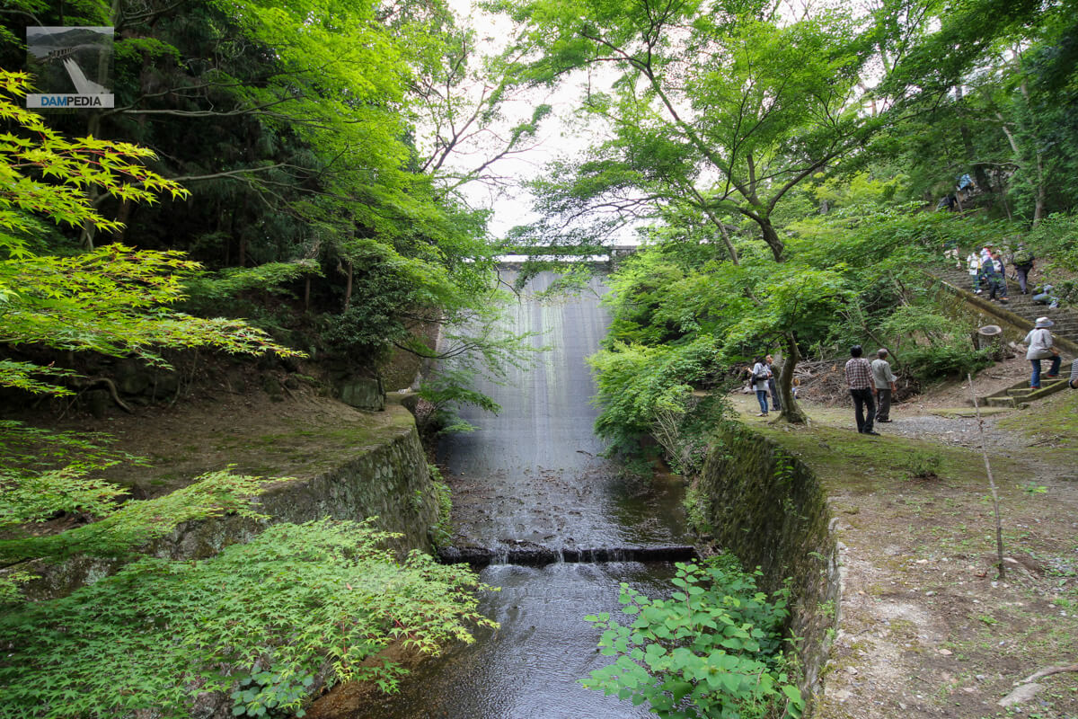
Nowadays, the left bank is roped off so that one cannot get too close to the embankment, but this year we were still able to get close.
For safety reasons, it was not yet possible to enter the top edge at this time. Perhaps because there were so many requests, in 2015-2018 it was possible to go to the top of the gate.
The names of those involved in the construction are clearly marked on the wall on the left bank side of the top edge.
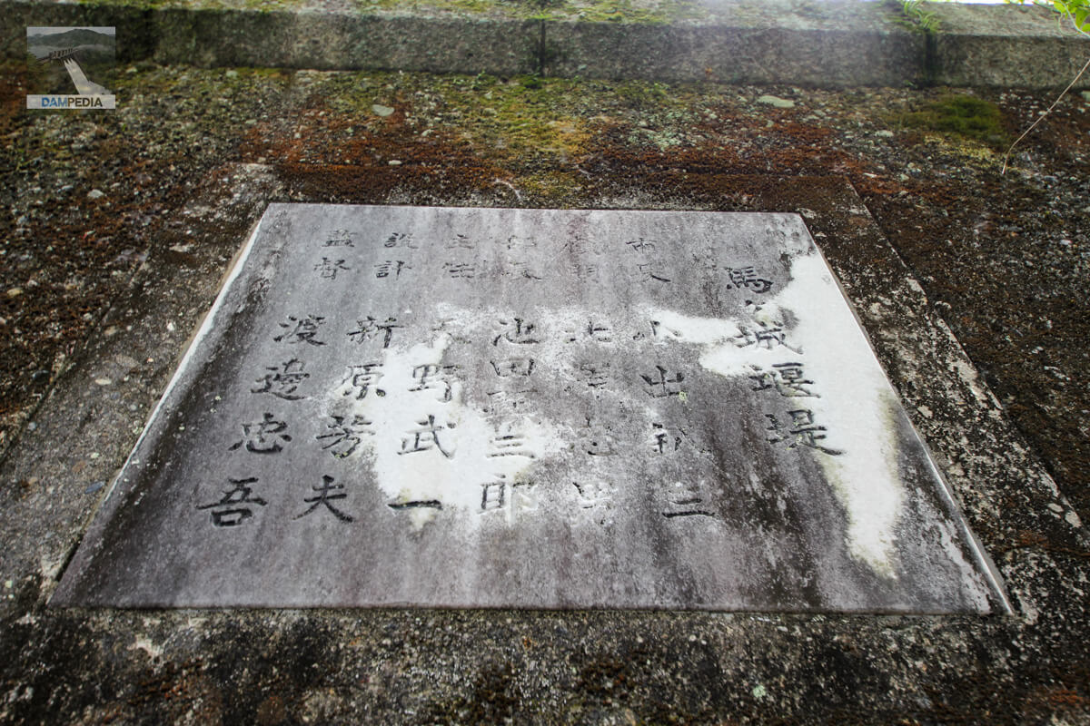
Siebold's wild ginger (Asarum sieboldii)weir
From the relief on the left bank of Magajo Dam
Mayor Hachizo Koide
Advisor Tadao Kitazawa
Director Kenzaburo Ikeda
Chief Executive Officer: Takeichi Amano
Designed by Yoshio Niihara
Director: Chugo Watanabe
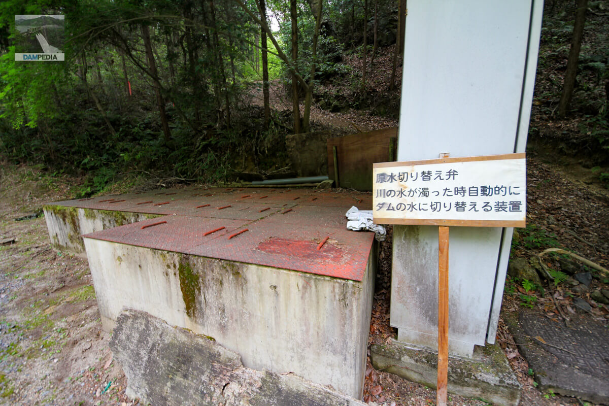
If the water taken from the Nishitani Intake Plant and the Motoya Intake Plant is muddy, it cannot be used as tap water if it is discharged directly to the water purification plant, so this valve is used to switch to taking water from the clean water in the dam lake. However, we will learn that there are other methods during our visit in 2023. (See below).
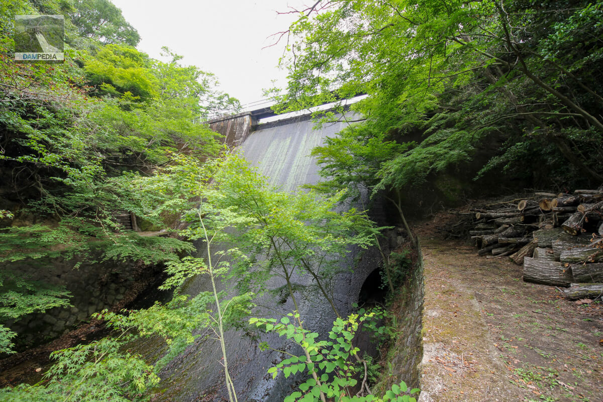
Once again, I look at the downstream face. Although I can only accumulate memories once a year, the Bajo Dam still provides me with memories of great weight and depth.
This may be a valuable shot, as it is now fenced off and no longer accessible to this extent.
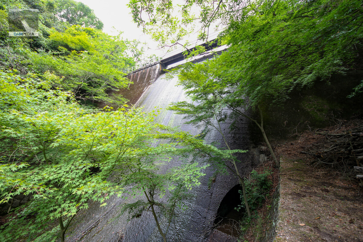
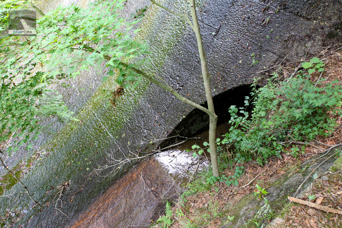
It is a massive concrete surface. The low flow rate may be considered valuable in turn.

I fail to check with the local officials every time, but I think this hole is probably a sediment discharge.
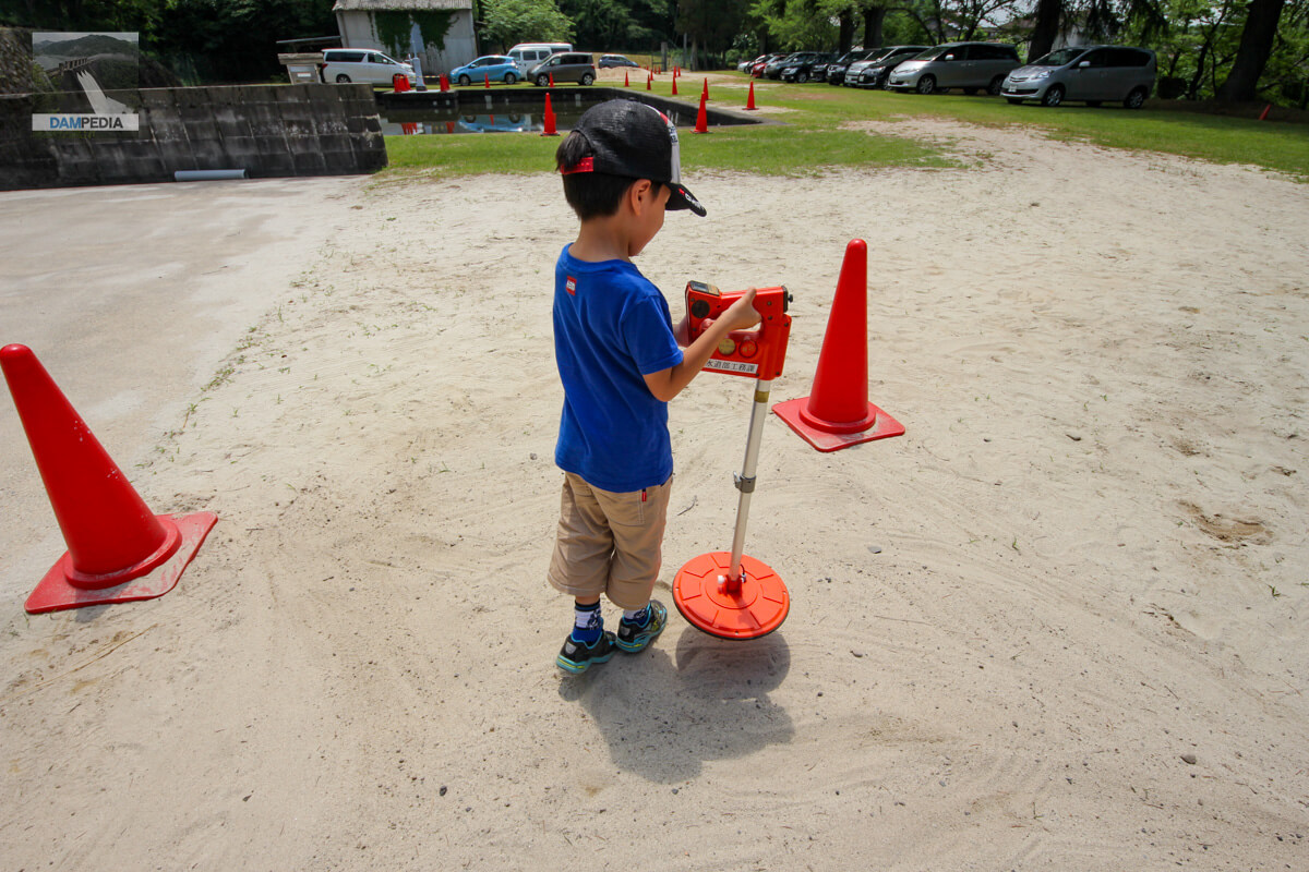
My then 6 year old son experiencing the "metal detector" or "underground piping search" corner. Come to think of it, there hasn't been a corner like this since Corona...
The next page will send you a report on the June 1, 2014 public opening.
Comment