
Date of interview: Monday, 7/29/2023
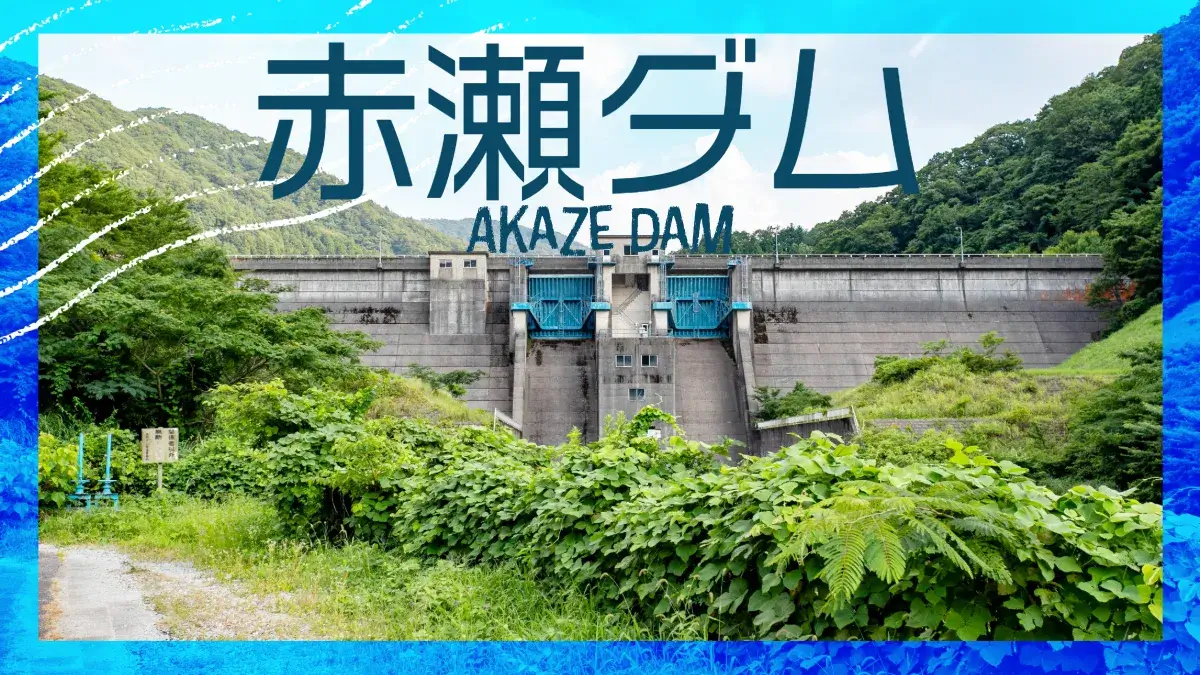
After visiting Managawa Dam, Sasagawa Dam, and Kumogawa Dam for the "Friendship with Forests and Lakes" event, I thought about what to do with the time I had before returning home, and decided to go to an area in Ishikawa Prefecture that I had not visited yet. The first one is Akase Dam. By the way, the reading is "Akaze", not "Akase".
I really wanted to come north on Route 416 from Katsuyama City, Fukui Prefecture, but I realized that the road was closed on the way, so I hurriedly moved via Route 364, but managed to reach Akase Dam, despite the temptation of the Narushika weir, Ryugahana Dam, Gaya Dam, and Kutani Dam.
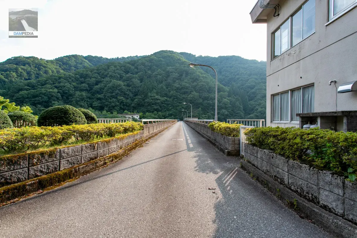
Start with the right bank.
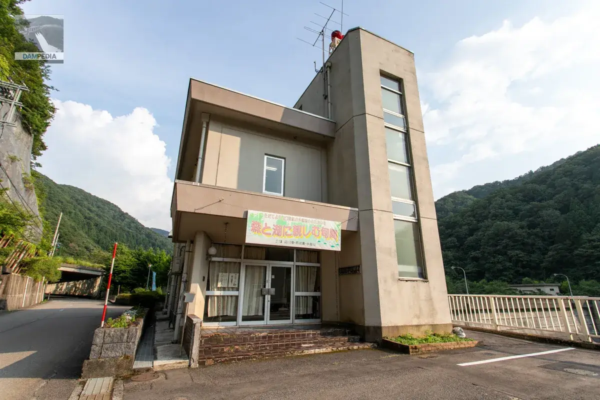
Along the county road, there is a "Season for Familiarization with Forests and LakesThere was a banner with the banner "The time is around 5:00 p.m. The time was around 17:00. It seems that the Akase Dam was open to the public on July 22 this year. The Ministry of Land, Infrastructure, Transport and Tourism (MLIT) has a public document that says "tour of the dam management building and other facilities," but I am wondering if there was also a tour of the inside of the embankment.
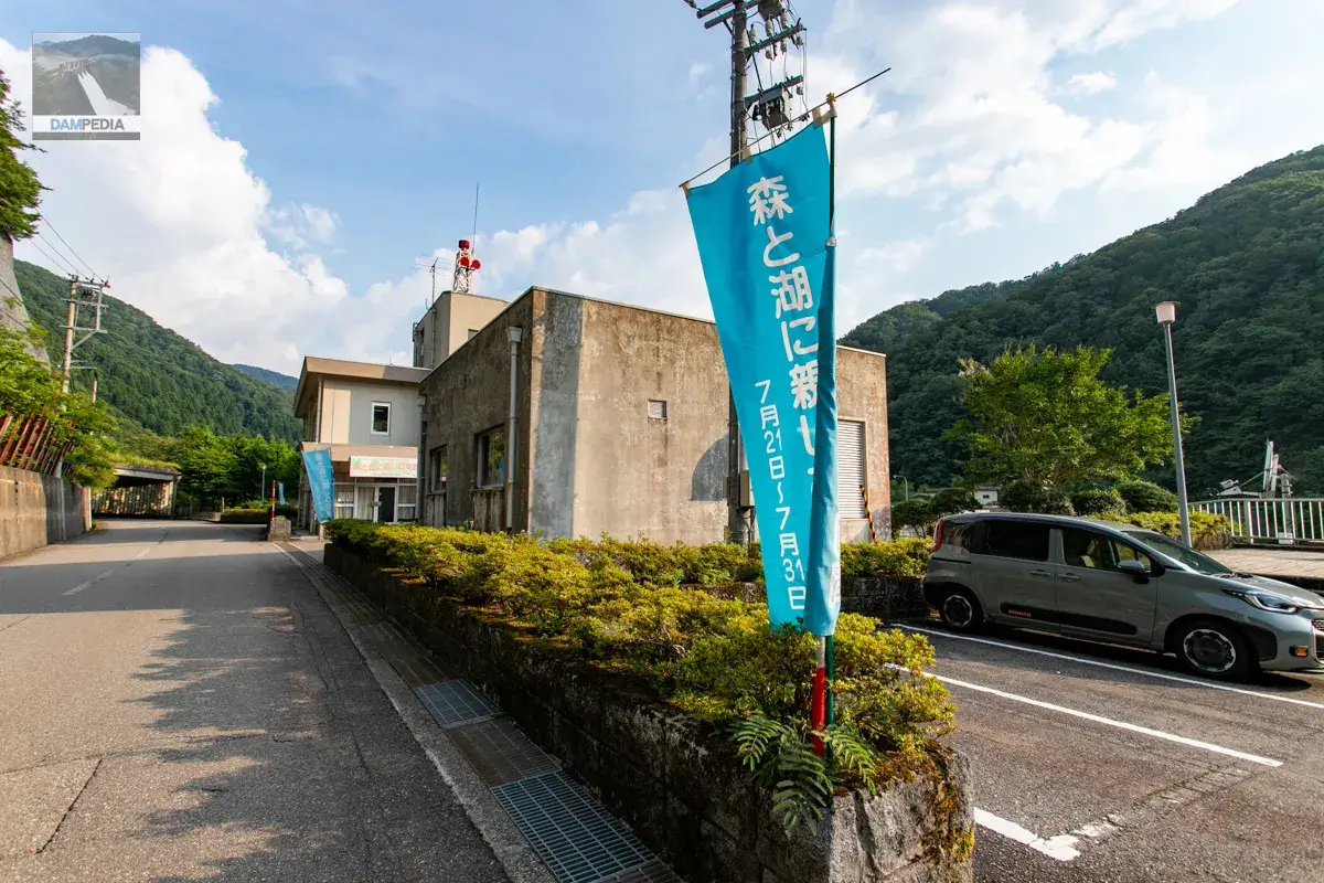
A "Morimizu" sign, which will probably be posted annually, was also placed at the entrance of the management office.
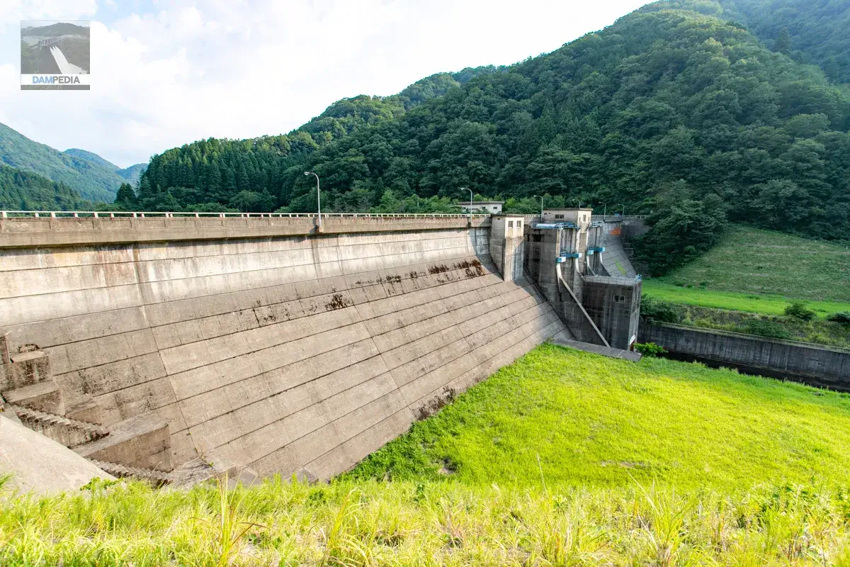
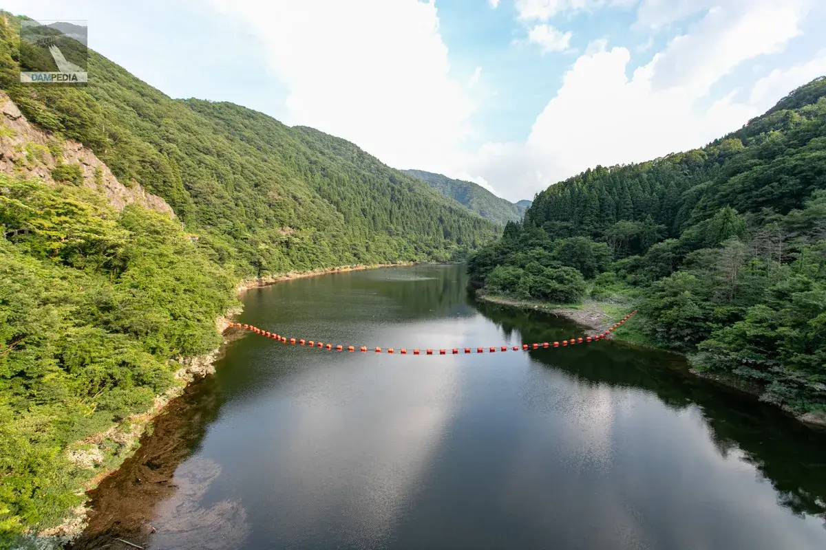
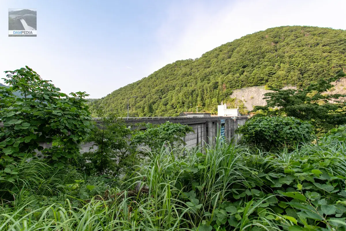
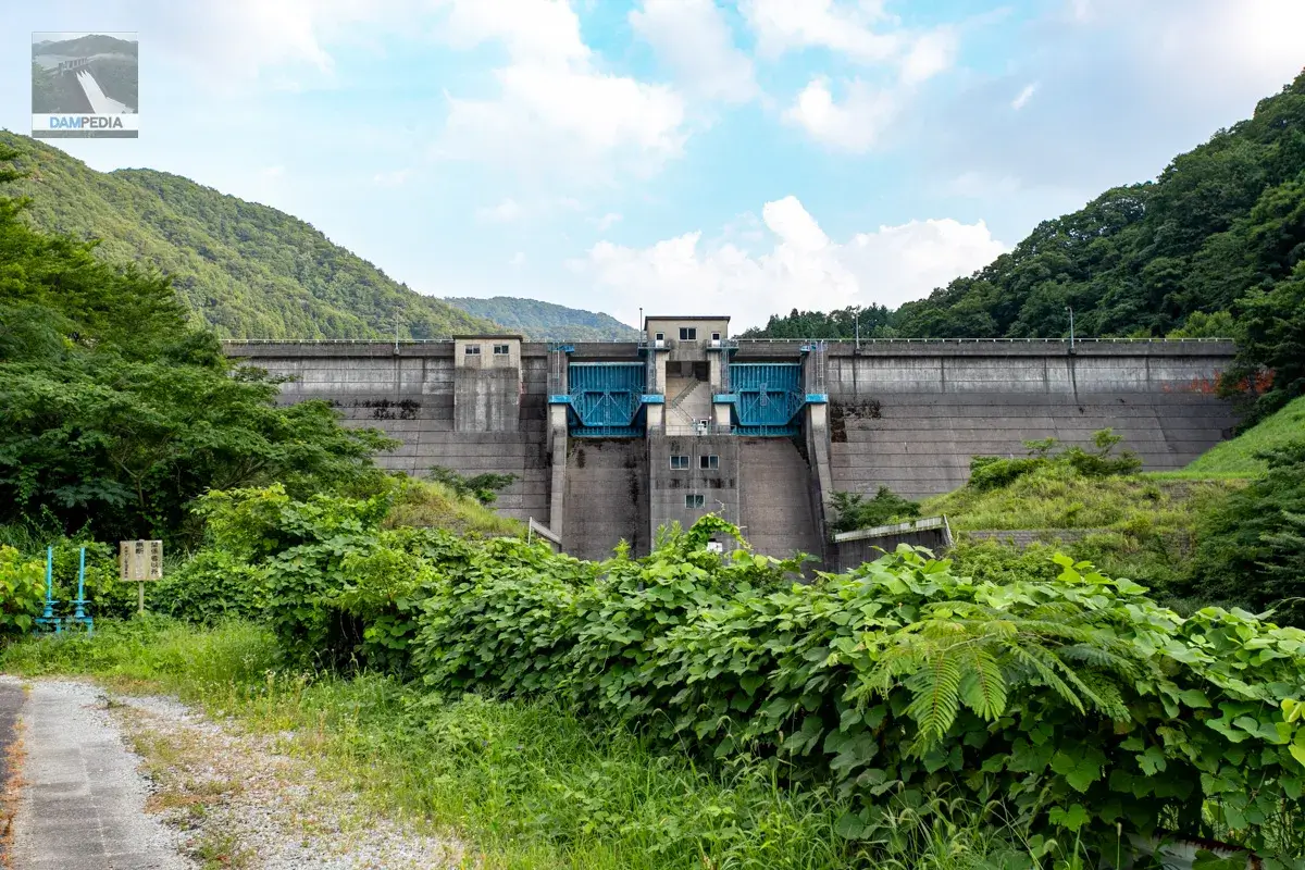
The left and right banks are a very beautiful yellow-green color. It can be seen that the area has been carefully managed day by day. The reflection of the setting sun makes it look even more beautiful. The Akase Dam is very compact, with an embankment height of 38 meters.
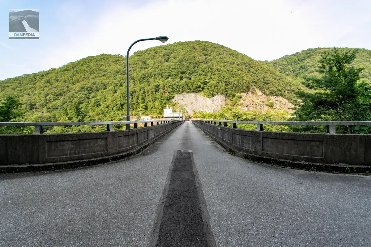
Automobile traffic at the top end is allowed.
Does it resemble a dam? It also looks like the character "le. In Ishikawa Prefecture, the small letters in addresses are often written as "iroha nihoheto," but the address of the management office was written with a "c." The red color is probably due to the name of the dam and the name of the place, Akase. Also, is the red color so because of the name of the dam and the name of the place, Akase?
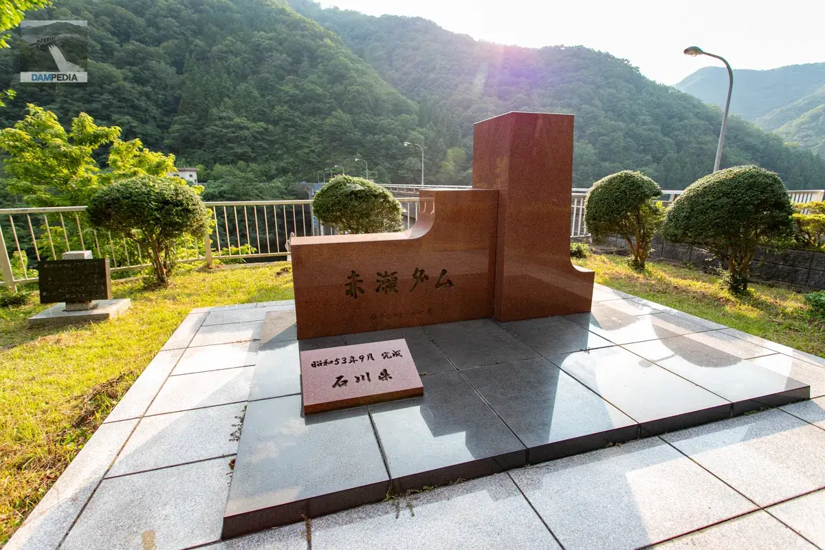
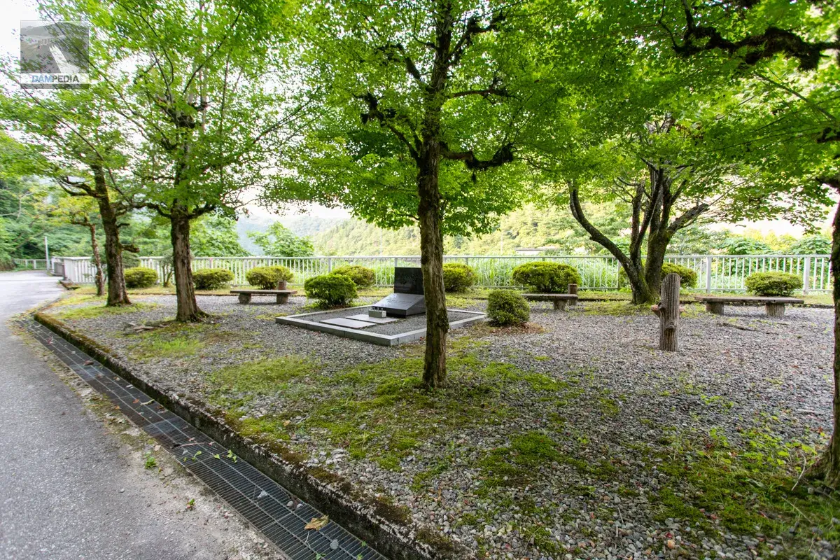
Stone monument by a very, very modest builder for a stone monument in Ishikawa Prefecture.
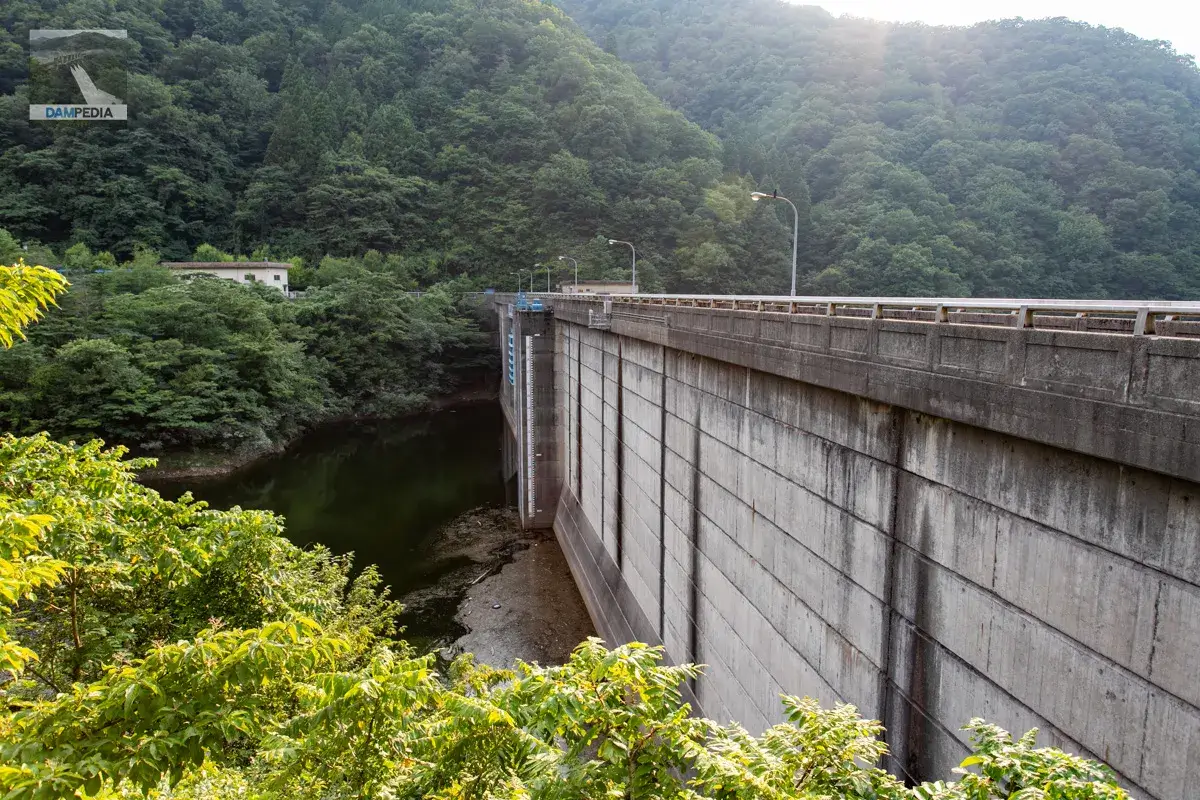
The water level seems low, but I think it is because it is July and the flood control capacity is open. Also, they do not store water from fall to winter.
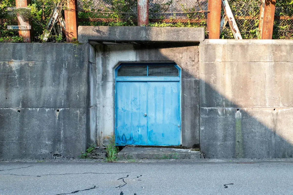
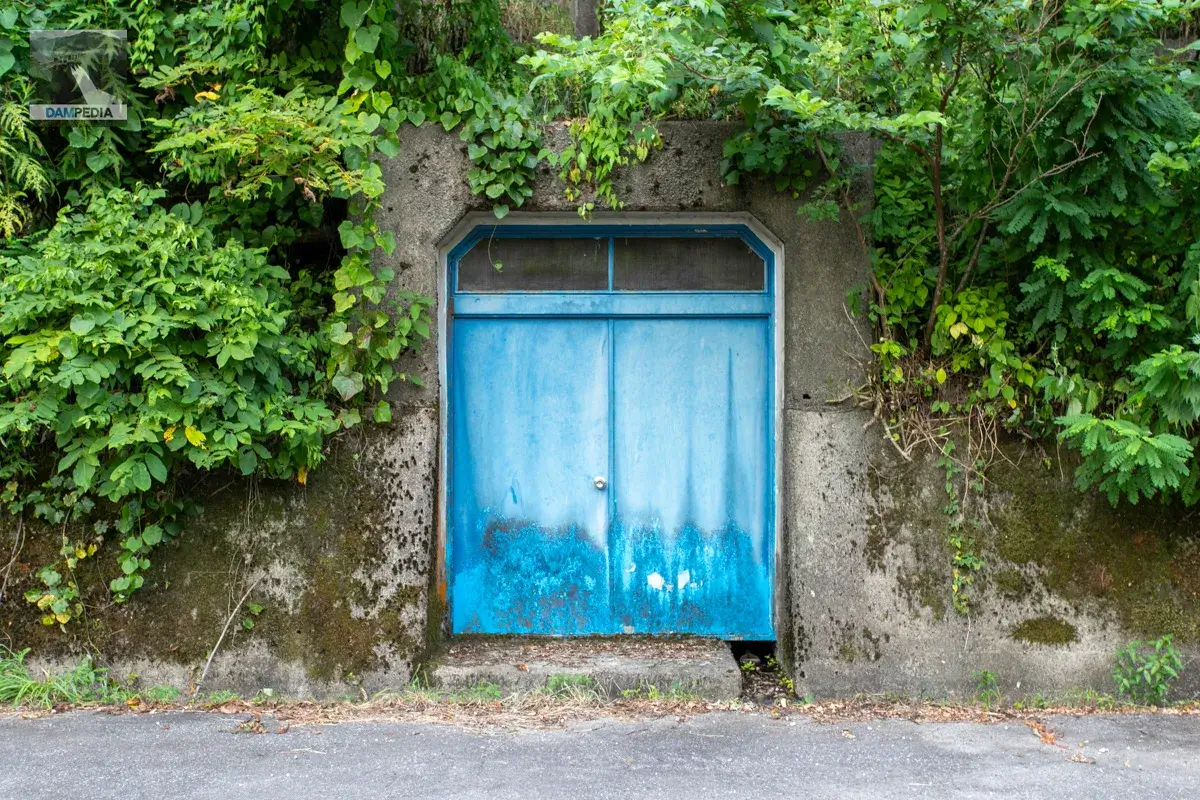
It will be the door to the rim tunnel on the right bank side.
To the top
Upstream, there seems to be a plaza, campgrounds and accommodations.
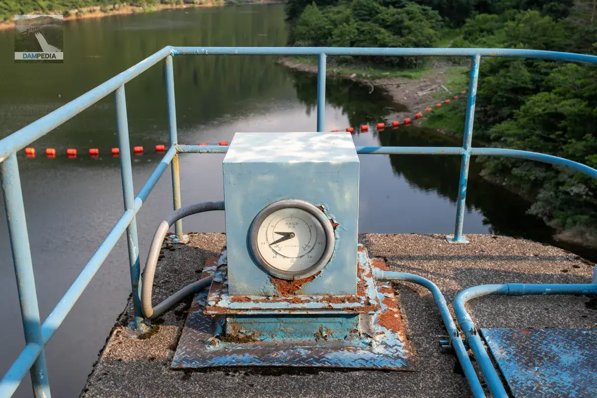
The top of the agricultural water intake facility is visible from the top edge, and there was a semi-circular object of some sort that looked pretty. I couldn't quite figure out what was inside.
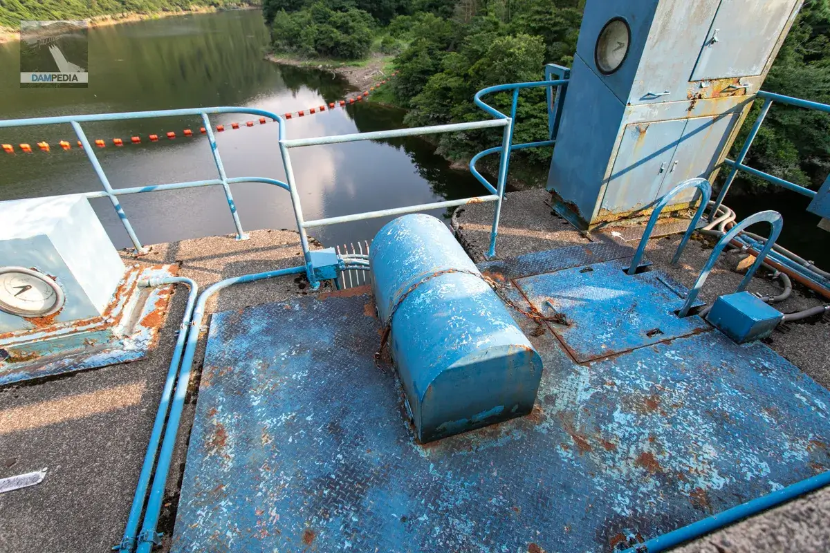
This is also an "internal water level gauge" located on top of the agricultural intake facility. However, "inner water level" usually refers to the water level inside the dike, and I did not understand why this notation was used.
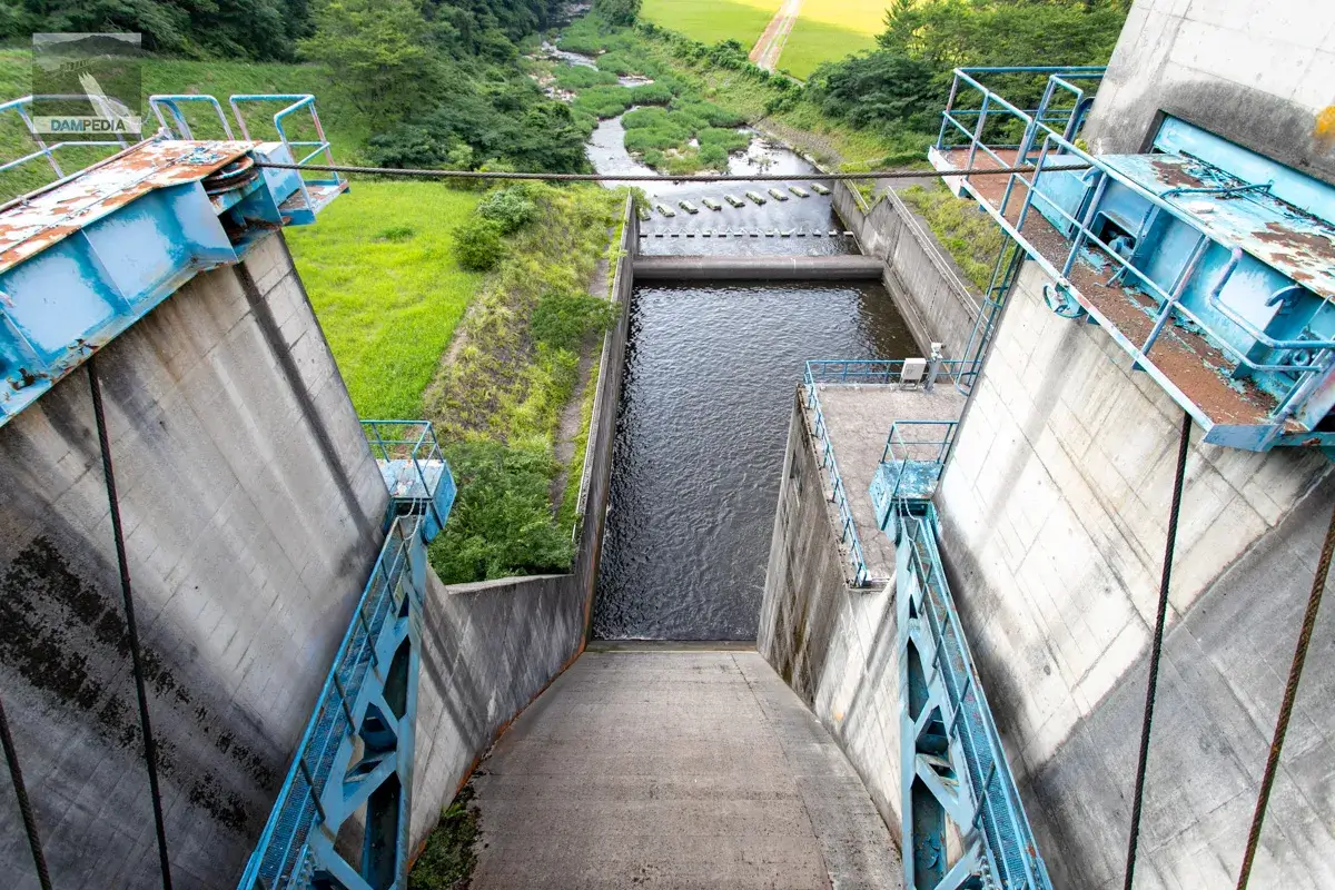
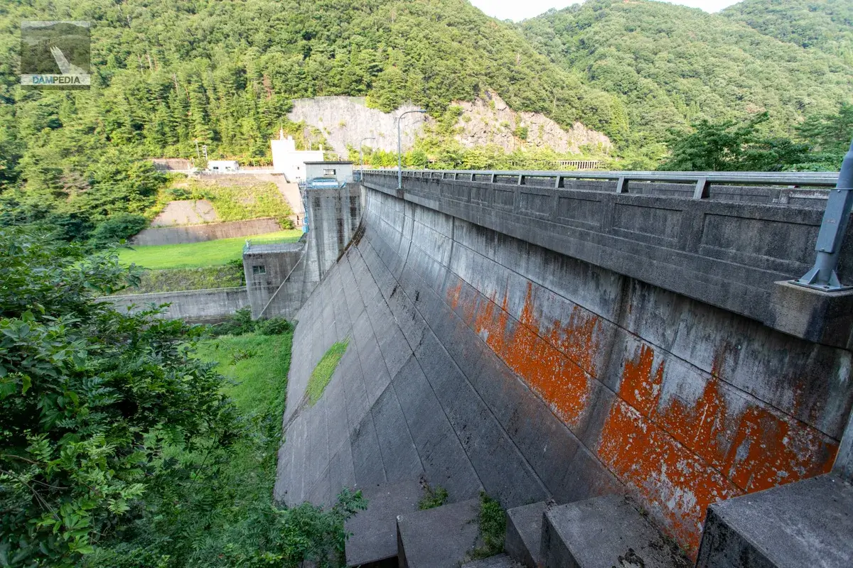
I think it's a bit unusual to see the crest gate wire crossing the street. It seems a little obtrusive to see downstream, but well, it's unusual, so let's forgive it (what an eye-opener).
It also appears that you can see the downstream face of the dike from downstream, so we will go there later.
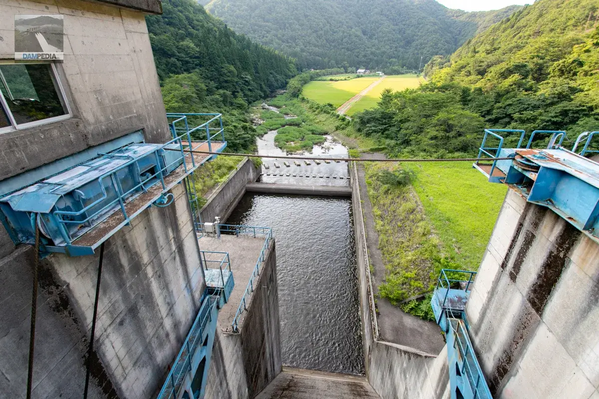
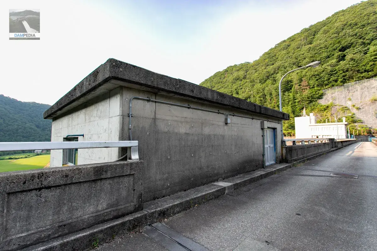
The control room of the crest gate is made of sturdy concrete, but there are also stairs leading to the inside of the dike and to the conduit gate.
The Akase Dam has two crest gates, which are radial gates. In addition, a conduit gate is provided at the lower center of the left and right crest gates.
| business entity | Ishikawa prefecture (Hokuriku area) |
| Model | clestradial gate (i.e. in Greek mythology) |
| Net Diameter x Door Height | 9mx8.3m 2 gates |
| Opening and closing speed | 0.3m/min |
| door weight | 32.5t |
| completion of construction | August 1977 |
| production | Kawasaki Heavy Industries, Ltd. |
Go to the left bank.
It is quite simple, as is typical of the prefectural government. Incidentally, there are no observatories on either side of the mountain.
As on the right bank, a door is installed at the entrance and exit of the rim tunnel.
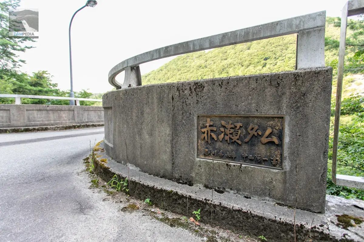
The nameplate of Akase Dam, written by Yoichi Nakanishi, the governor of Ishikawa Prefecture at that time, was placed on the main pillar on the upstream side of the left bank. Yoichi Nakanishi was in office for 31 years, the longest tenure of any governor in Japan, a record that has not been broken as of 2024, and his eight elected terms are also said to be a tie record. He also died during his eighth term in office.
The Dainichigawa Dam is located two mountain ridges east of the Akase Dam. The survey for the construction of the Dainichigawa Dam began in 1950, 16 years before the Akase Dam was started. The governor of Ishikawa Prefecture at the time was Wakio Shibano.
According to the "History of Komatsu," Volume 10, "Illustrated History of Komatsu," which is available on the Komatsu City website, the Dainichigawa Dam "caused a large gap between the project and the local community due to changes made by Ishikawa Prefecture, which was the executing side of the project, in the purpose and method, which sometimes led to confusion," "The diversion of water and large-scale power generation, the beneficiary burden of villagers and submergence, etc., and the disaster prevention purpose was added to reduce this burden. The "purpose of the diversion and large-scale power generation, the burden of beneficiaries on village residents, submergence, etc., and the coordination with the national government, the prefectural government, Hokuden, and the local community, such as adding the purpose of disaster prevention to reduce this burden, were troublesome.
In contrast, at Akase Dam, "On October 4, 1968, Governor Yoichi Nakanishi visited Akase Town. The residents were surprised by the Governor and asked him to sit at the top of the table, but he said, "I came here today to ask a favor from you all, so I will be fine here" and began to talk. The construction conditions were that "the dam weir was to be built 1 km upstream of Akase Town, the site with the least amount of land to be compensated for. For this reason, there was no mass migration, and the cemetery was moved and the road was repaired.
This episode shows first hand that Governor Yoichi Nakanishi had quite a good administration.

Such an episode of Governor Nakanishi is wonderful and inadvertently increases the number of characters.
Now, Akase Dam. We tried to look at the upstream side of the embankment from the left bank, but the grass and trees were too tall for us to see at all 💦.
It would have been nice to be able to see a little further downstream, but there was no road and the vegetation here was also overgrown, so this was the best we could do.
There is a cenotaph on the left bank, so let's join hands 🙏.
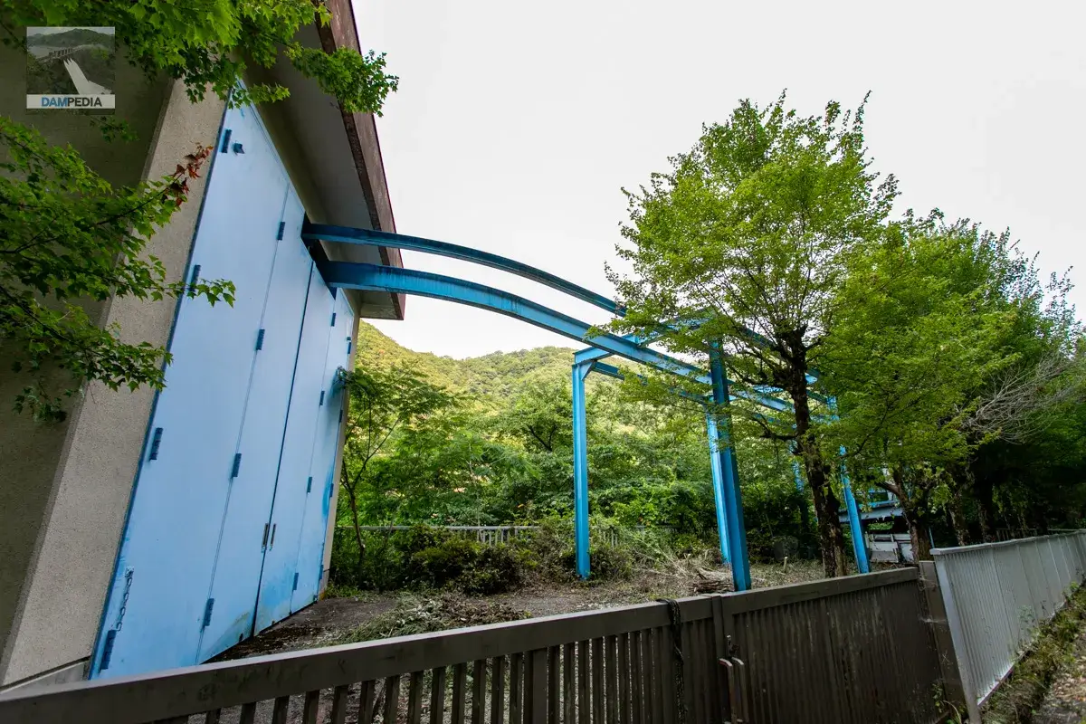
There is a boatyard on the left bank, equipped with an incline. The steel frame coming out of the boatyard looks like a crane rail.
Downstream
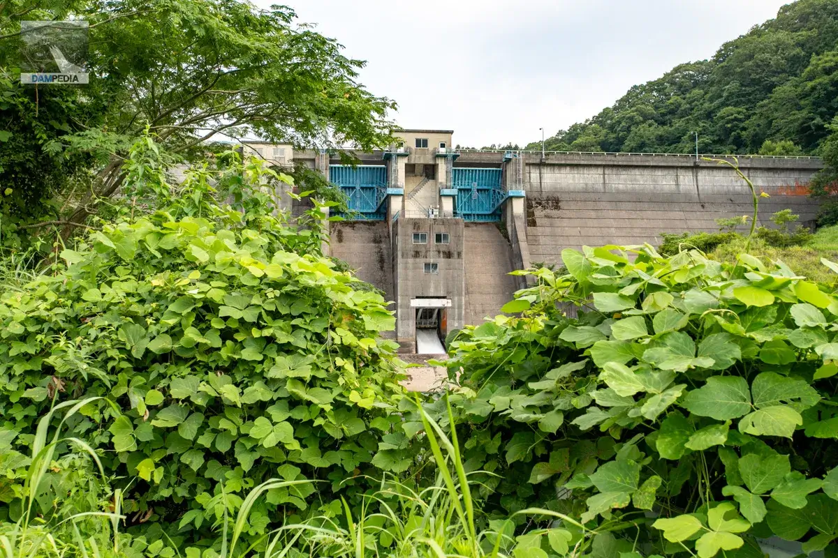
We came to the downstream side of Akase Dam. The grass is so thick on this side that the conduit gate and the reduction works are not clearly visible.
We manage to find a good view, but we have to aim for a gap 🤣.
Incidentally, the two blue sluice gates on the left side appear to be agricultural water gates.
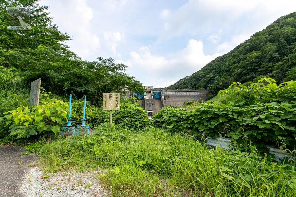
I managed to see the conduit gate through a gap in the grass. It was just discharging.
The Akase Dam was constructed in a very peaceful manner.
Akase Dam Specifications
| Location | Akase-cho, Komatsu City, Ishikawa Prefecture |
| River Name | Ladagawa river system Ladagawa |
| Objective | F (flood control, agricultural disaster prevention) N (unspecified water, water for river maintenance) |
| Model | G(gravity-fed concrete dam) |
| Bank height | 38m |
| Bank length | 180m |
| Dam volume | 77,000 m3 |
| Watershed Area | 40.6k sq.m. |
| Reservoir area | 54ha |
| Total storage capacity | 6,000,000 m3 |
| Effective water storage capacity | 5,200,000 m3 |
| Dam operator | Ishikawa prefecture (Hokuriku area) |
| Main body constructor | Tobishima Corporation, Sakai Kogyo Co. |
| Year of launch | 1968. |
| Year Completed | 1978 |
| Name of Dam Lake | Loch Akaase |
Other facilities/observations
| Parking lot | ○ |
| Toilet | ○ |
| Park | ○ |
| PR Exhibition Hall | × |
| Fishing | × |
| Viewing platform | × |
Map around Akase Dam
Weather around Akase Dam
Accommodations that may be close to Akase Dam

Comment