
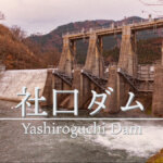
Date of interview: Wednesday, 12/10/2014
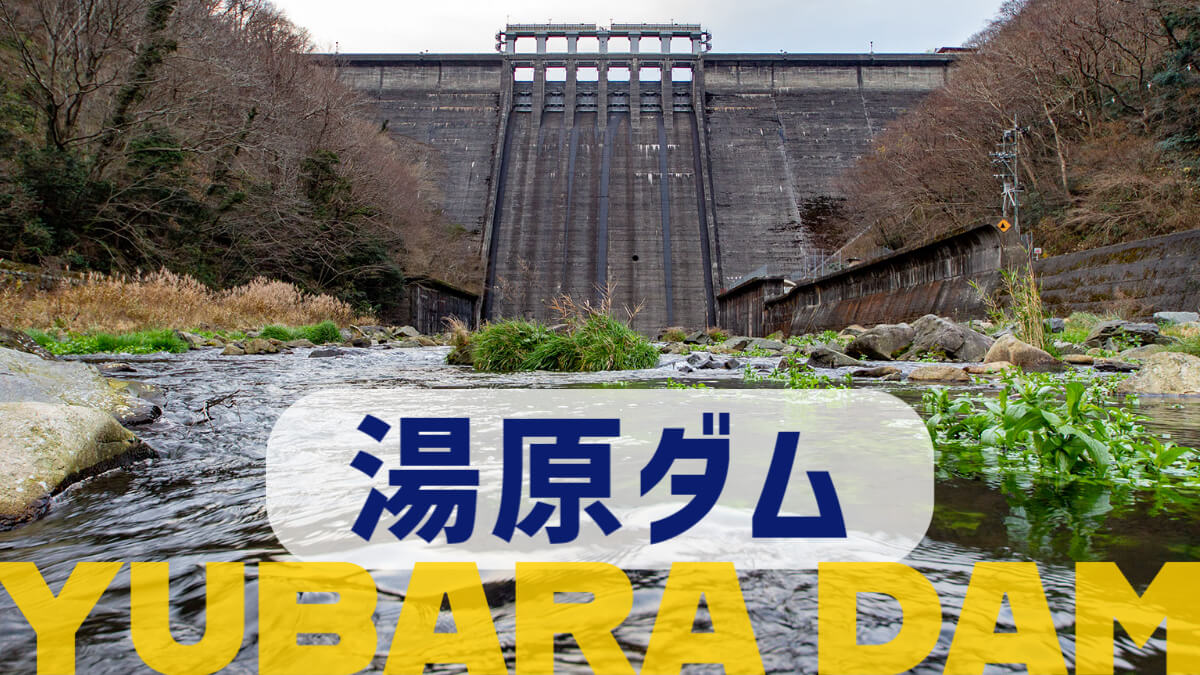
It is the Yubara Dam that I came from the Onbara Dam via the Ningyo Pass in a large Tottori roundabout. This is the 10th dam on this day. This Yubara Dam is one of the dams that I have wanted to see many times.
In 1948, Okayama Prefecture drew up the Asahigawa Comprehensive Development Plan, and the Chugoku Electric Power Co. also drew up a five-year plan to increase power generation in the Chugoku Region as part of postwar reconstruction efforts. The Chugoku Electric Power Co., Ltd. also proposed a five-year plan to increase power generation in the Chugoku Region as part of postwar reconstruction efforts.
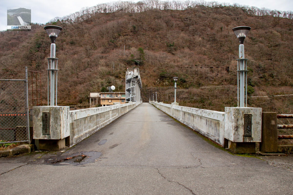
Downstream view of the levee from the left bank leading to the top
On the left bank road leading to the top of the mountain, there is the "Yubara Onsen Miharashi Observatory" and the view from there is the photo below. It is important to note that the trees have been cut to improve the view. Also, there are stairs nearby that can be strolled from Yubara Onsen.
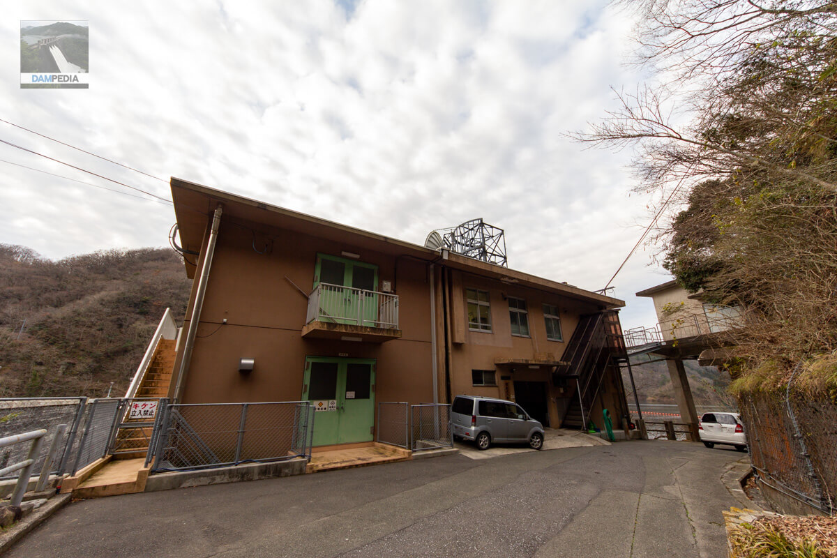
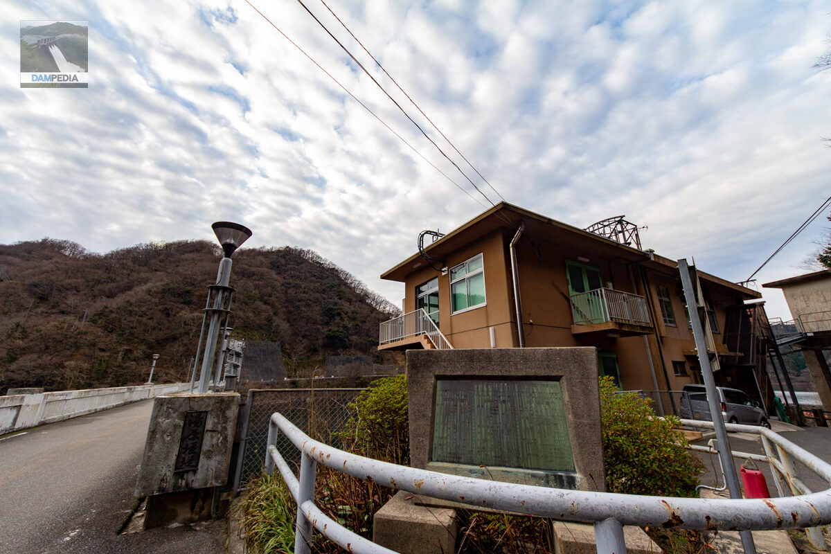
Yubara Dam Management Office
On the left bank is the Yubara Dam management office. On this day, I received a dam card here.
Mysterious structure in the back
Mysterious structure at the back of the administration office. I think this is definitely the remains of a batcher plant, but I regretted asking about it when I received my dam card.

Looking upstream from the left bank
I am looking from the area around the concrete structure that appears to be the remains of that batcher plant.

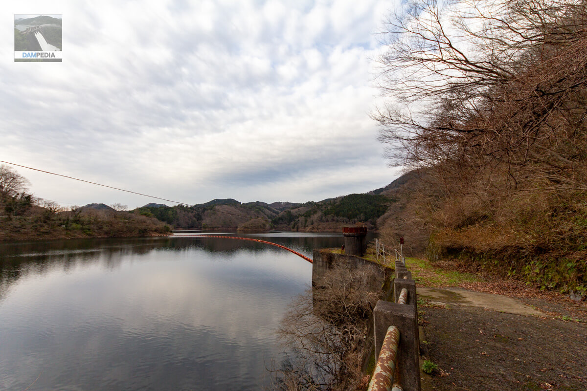
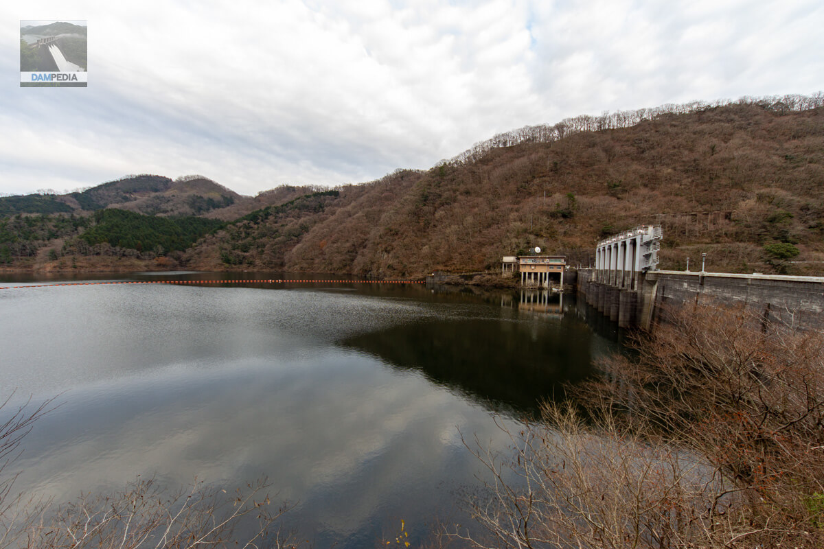
View of the reservoir from the left bank
The left bank was dead-end beyond this point, but the right bank was passable because of Prefectural Road 322 along the reservoir.
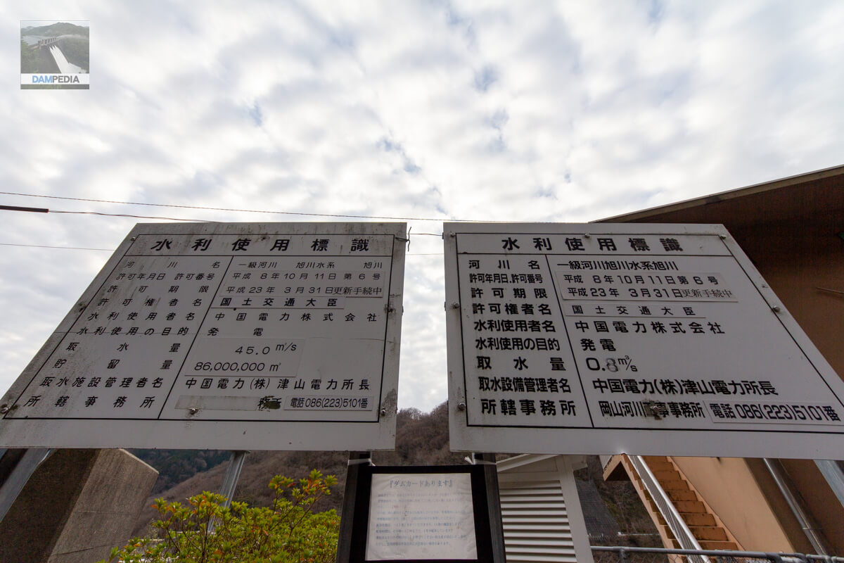
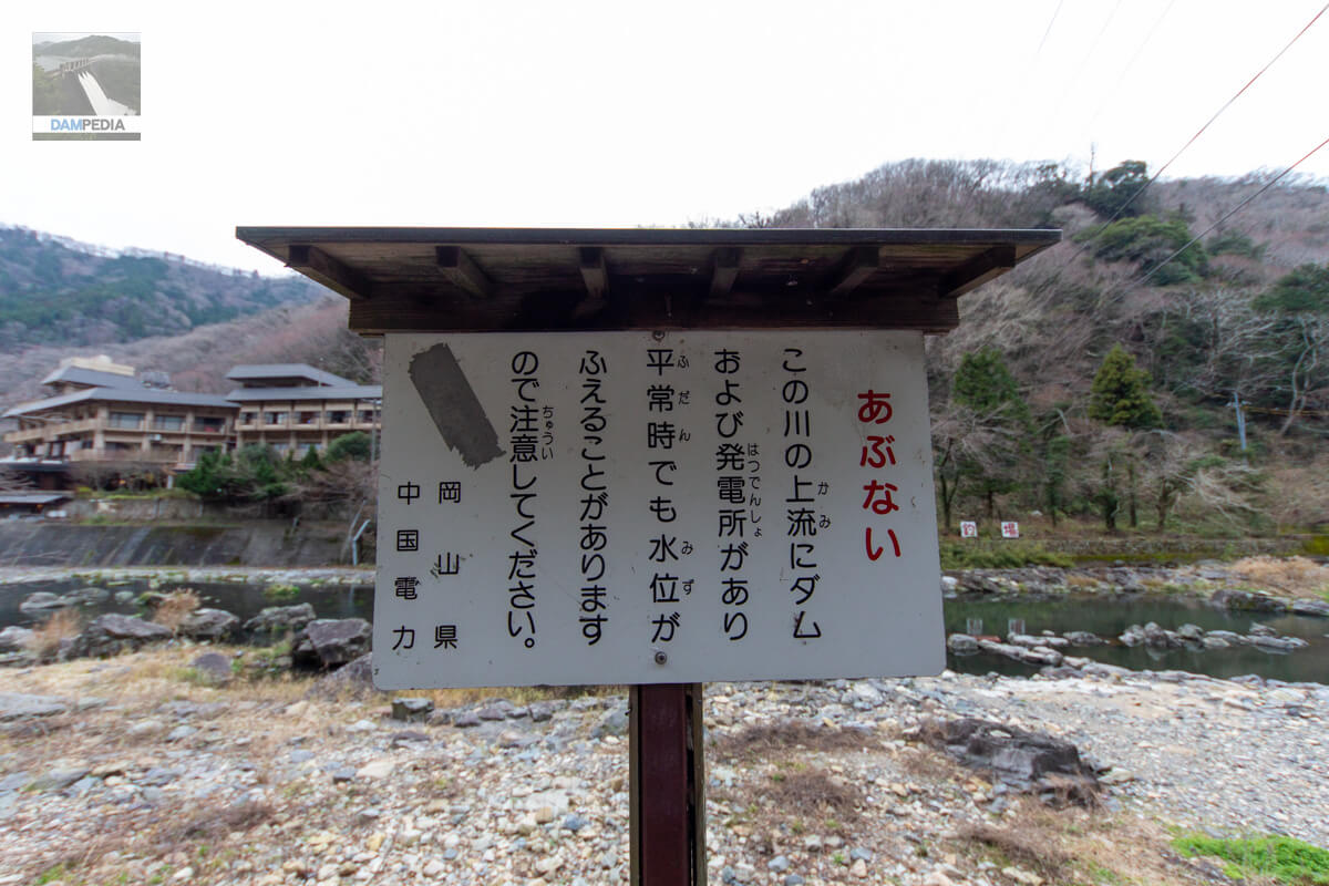
Two water use signs
Two water use signs are erected in front of the management office building. The one on the left is for the Yubara No. 1 Power Station, which generates power in the dam channel type, and the one on the right is for the Yubara Weir Power Station, which generates power in the dam type just downstream of the embankment.
Entrance to the management office
At the entrance to the control center on the left bank, there is a stone monument with various information about the Yuhara Weir Power Plant, Yuhara No. 1 Power Plant, and Yuhara No. 2 Power Plant. It says that each power station was built as part of a five-year postwar reconstruction plan. Also, on the main pillar at the top is written "YubaraweirThe "" letters are in good taste. The lighting is also a design I have not seen before.
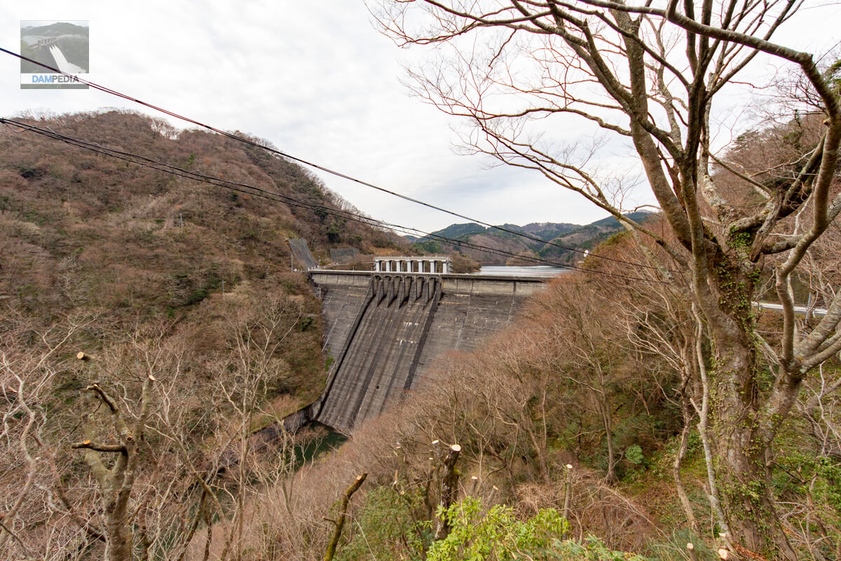
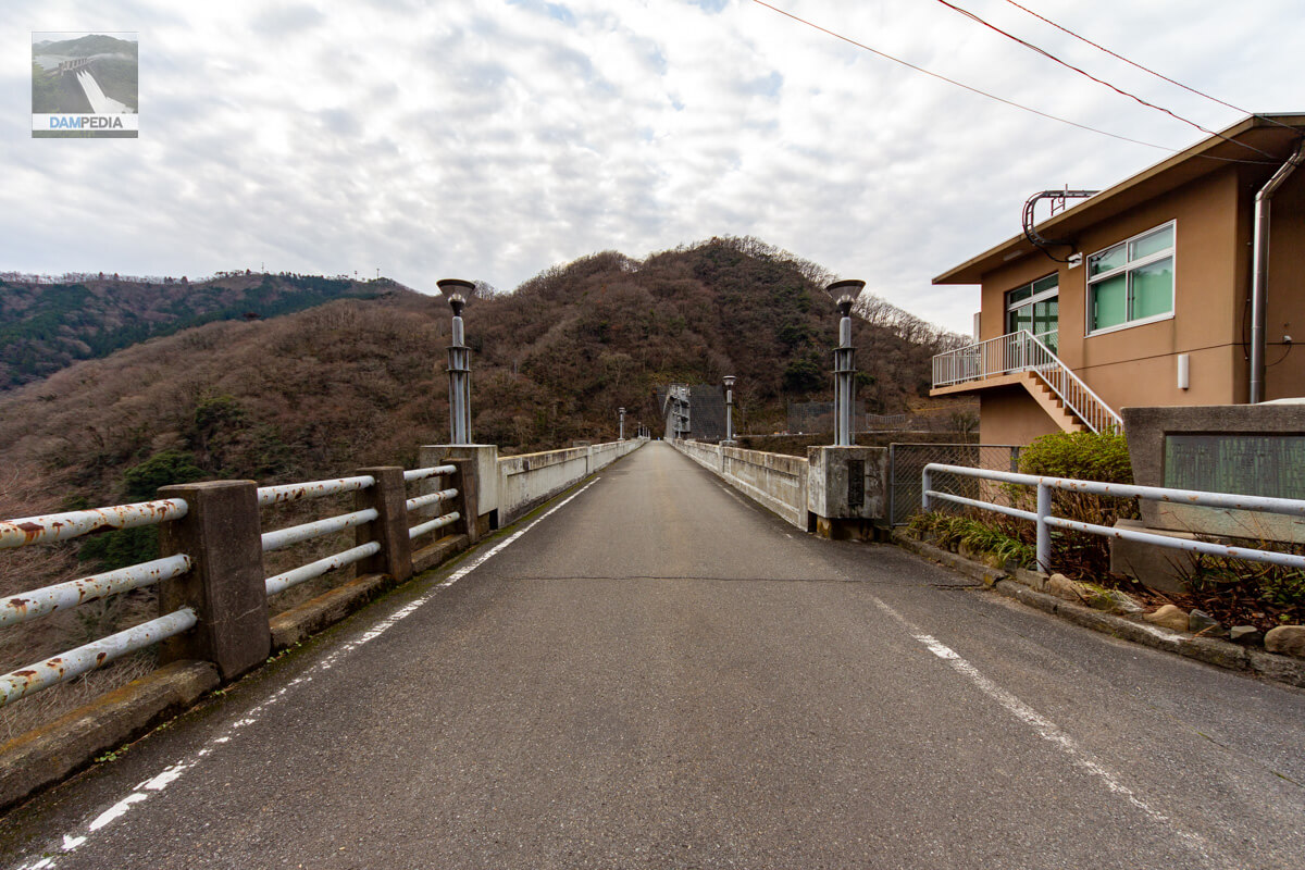
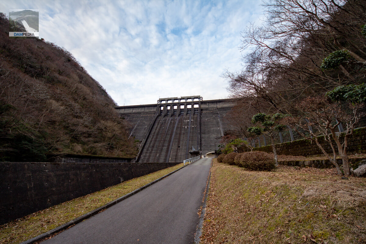
View of the top edge from the left bank
The top end is on Prefectural Road 322 and is open to automobile traffic.
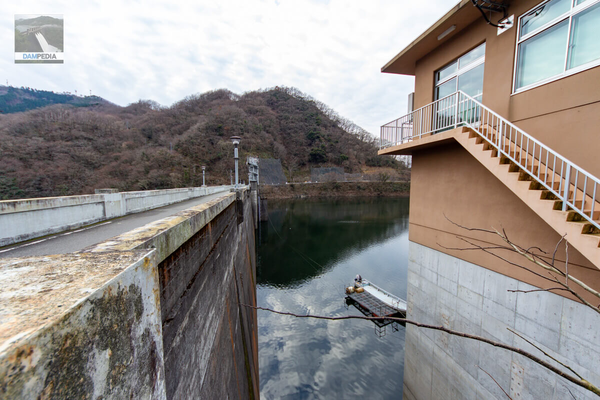
View of the upstream face of the embankment through the gap between the embankment and the control center
A small boat and a floating pier can be seen at the reservoir. Apparently, there are stairs leading down to the reservoir from the management office.
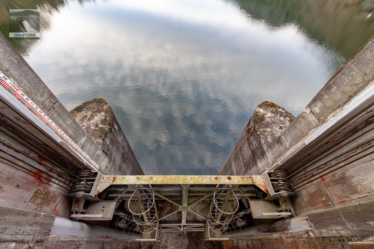
Gate peer
Yuhara Dam has six roller gates in the crest. The "crest gate= (after a noun, adjective stem, onomatopoeic-mimetic word, etc.)emergency flood dischargeThe official pamphlet lists this roller gate as a permanent flood discharge because there is no other flood discharge at the Yubara Dam.
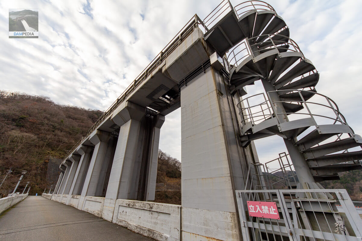
Roller gate
The roller gate is 5.5m wide by 8.2m high.
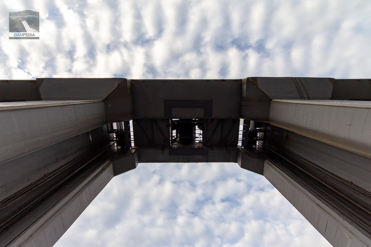
Looking up at Gates Pier
A gate winder can be glimpsed.
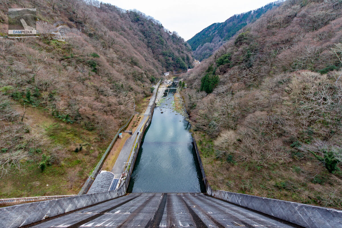
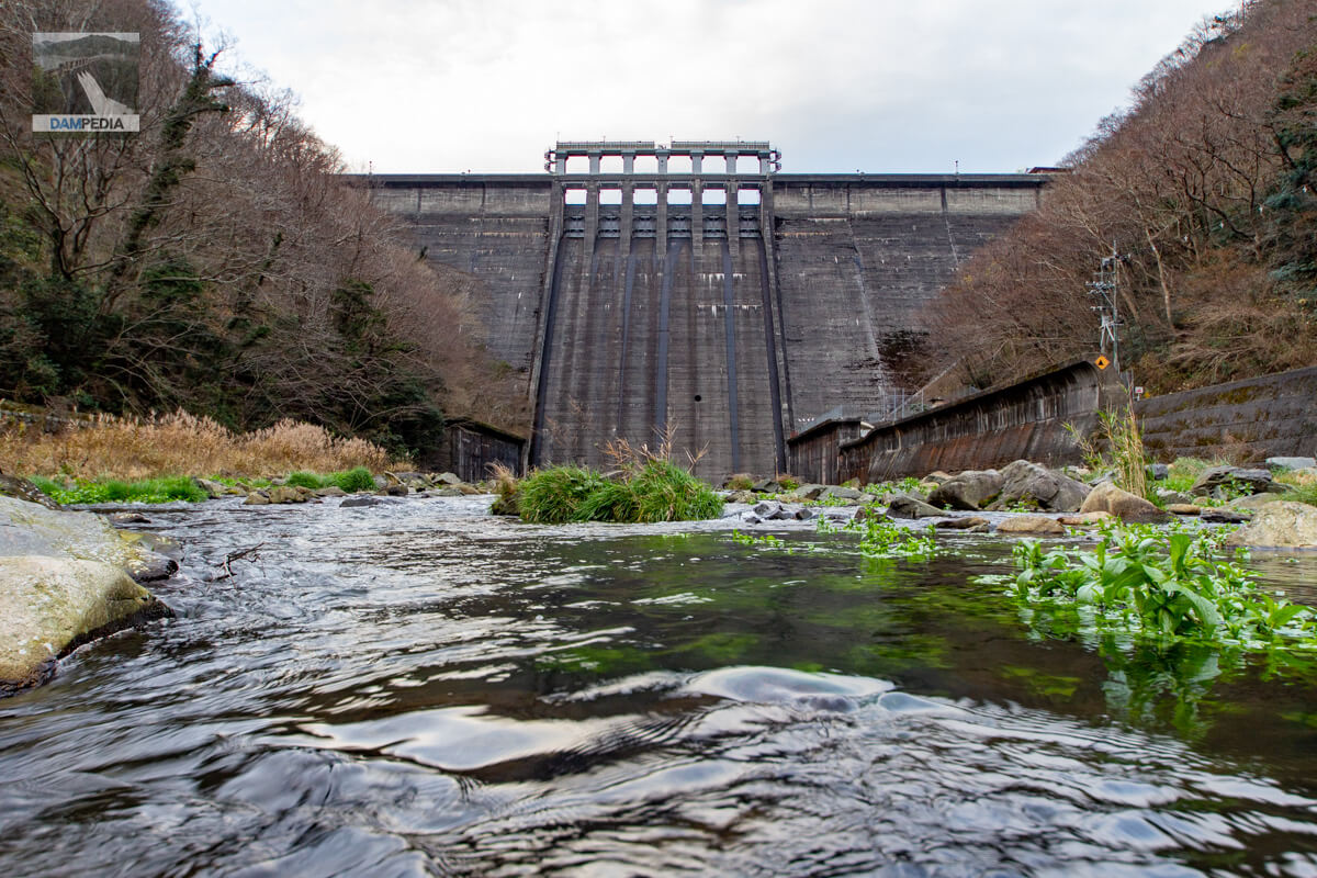
Looking downstream from the top
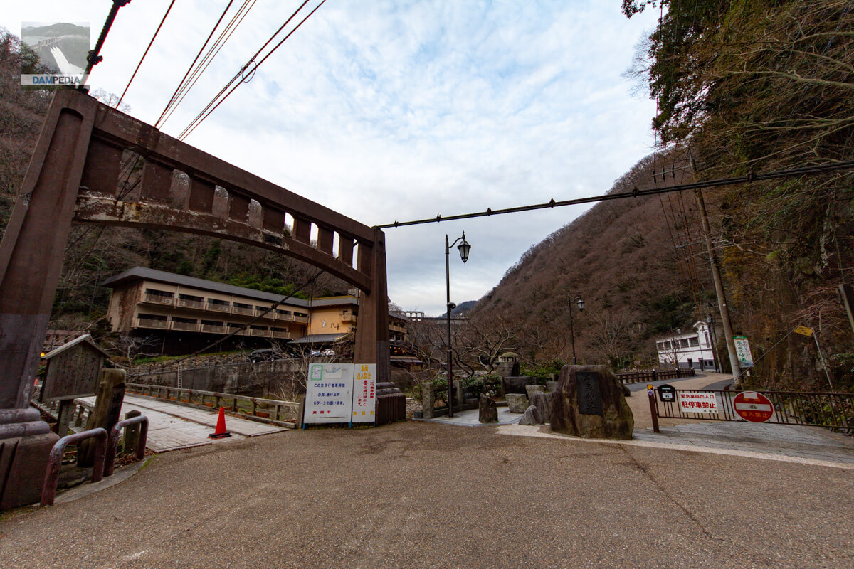
There is an open-air Yubara hot spring bath called Sunayu 300 m downstream from the Yubara Dam. Therefore, it is a little difficult to take pictures of the dam.
View of the top edge from the right bank
Equipped with a retro Showa styleTop (Crest)The remains of the foundation of a cable crane can be seen on the left bank. You can also see the remains of the cable crane foundation on the left bank. We would like to have an observatory on the ridge of that mountain. Incidentally, there was a ropeway in Yubara Onsen in the 1950s (late 1970s). Could it be that the Yubara Dam could be seen from the ropeway?
Looking downstream from the right bank
The view is not that great, but you can manage to see the downstream face from the right bank as well.
Looking upstream from the right bank
The Yubara Dam is now entering the full-blown snow season...and the scenery is chilly. Yubara Dam in snowy weather also looks beautiful.
Downstream side of dike and entrance to sand bath
After a quick tour around the top edge, we headed downstream. But it still takes courage to walk around the open-air baths with a camera😅.
Discharge warning sign
This is a small discharge warning sign, perhaps out of concern for the landscape. It is also unusual in that it has a roof.
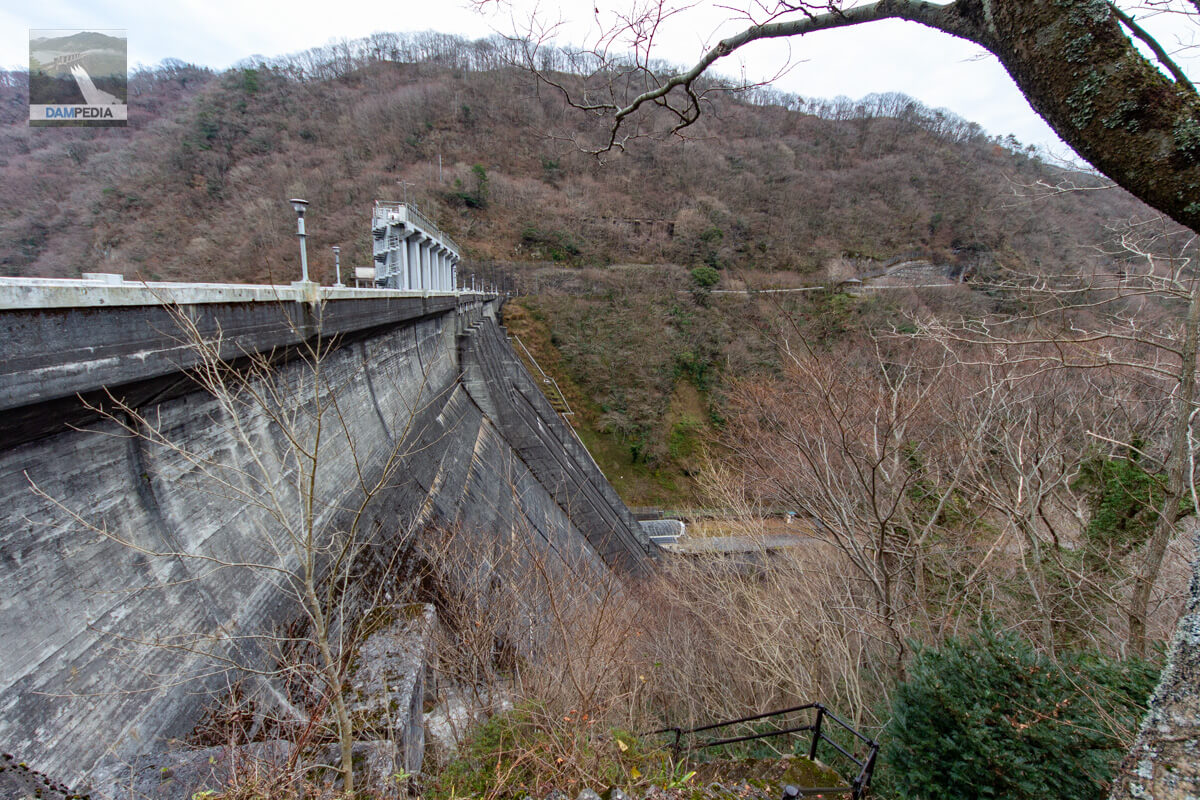
View of the downstream face of the dike
The downstream face of the Yubara Dam embankment. The downstream face of the Yubara Dam has a clear impression because there is no sub-dam. You can see a round hole at the bottom of the ledge, but is that a sediment discharge gate?
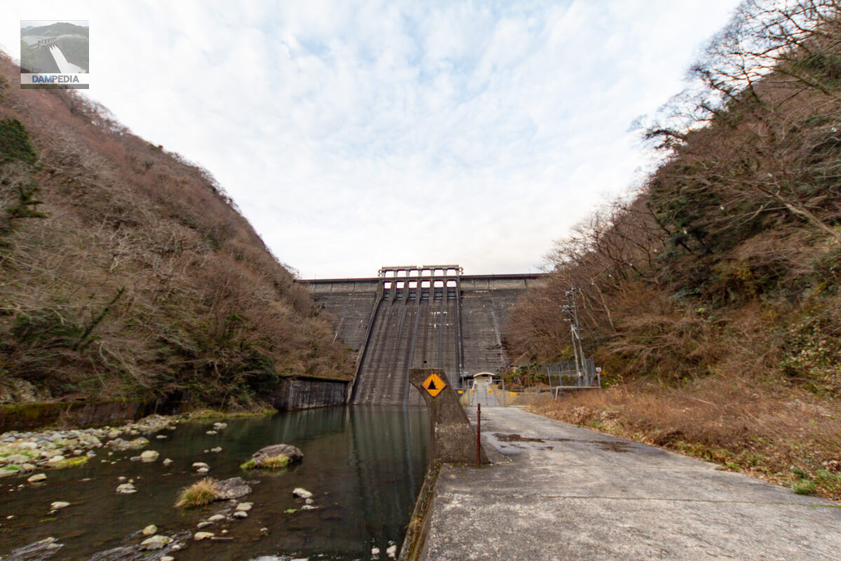
Looking downstream from the left bank
Unfortunately, I cannot go to the very bottom of the dike. What can be seen at the end of the left bank road is the Yubara weir power station, but entry is restricted by a fence.
Through a gap in the fence at the Yubara Weir Power Plant
The plantings are beautifully landscaped. If I have a chance to show me inside during the tour, I would love to see it.
Unfortunately, I did not enter the open-air bath this time, but the Yubara Dam made me want to enjoy the dam from the bath on my next visit.
Yubara Dam Specifications
| Location | Yubara Onsen, Maniwa City, Okayama Prefecture |
| River Name | Asahigawa River, Asahigawa River system |
| Objective | F (flood control, agricultural disaster prevention) P(Power generation) |
| Model | G(gravity-fed concrete dam) |
| Bank height | 73.5m |
| Bank length | 194.4m |
| Dam volume | 218,631 m3 |
| Watershed Area | 255km2 |
| Reservoir area | 455ha |
| Total storage capacity | 99,600,000 m3 |
| Effective water storage capacity | 86,000,000 m3 |
| Dam operator | Chugoku Electric Power Co. |
| Main body constructor | Kumagai Gumi |
| Year of launch | 1952 |
| Year Completed | 1954 |
| Name of Dam Lake | Lake Yubara |
Other facilities/observations
Parking is available for a few cars around the top edge, and downstream is the parking lot of Yubara Onsen.
| Parking lot | ○ |
| Toilet | ○ |
| Park | × |
| PR Exhibition Hall | × |
| Fishing | ○ (fishing fee required) |
| Viewing platform | △ |
Map around Yubara Dam
Weather around Yubara Dam
Accommodations that may be close to Yubara Dam


Comment