
Date of interview: Wednesday, 12/10/2014
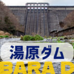
From the Tomada Dam, we headed north along the Yoshii-gawa River and came to the Onba Dam, the ninth dam we visited that day. As one would expect, there was a lot of snow on the ground when we arrived here. Speaking of Onba Dambuttress damIt was the first time in my life that I visited a buttress dam. It was the first buttress dam I visited in my life. Onwon Dam is also sometimes referred to as Onwon Reservoir Weir.
Entrance to the top of the right bank
The concrete structure at the top end entrance on the right bank will be the gate pier for the flood discharge.
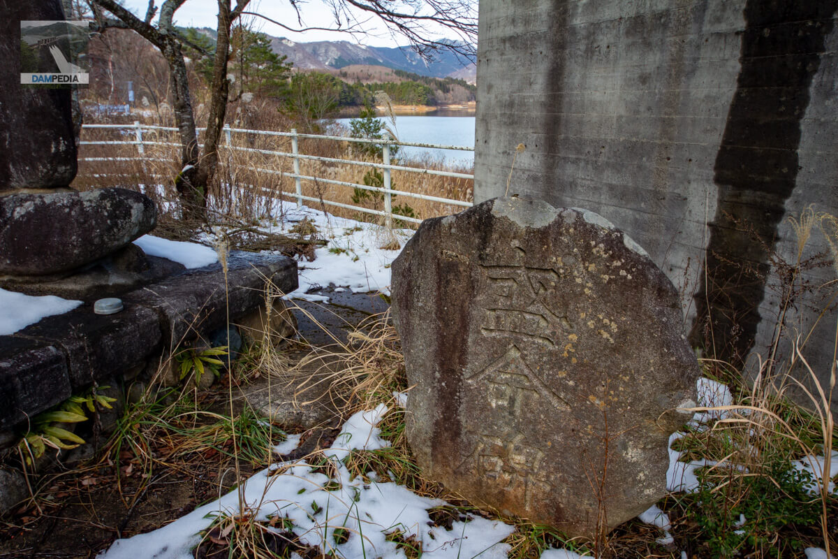
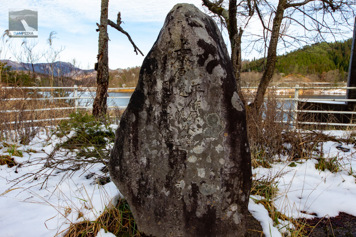
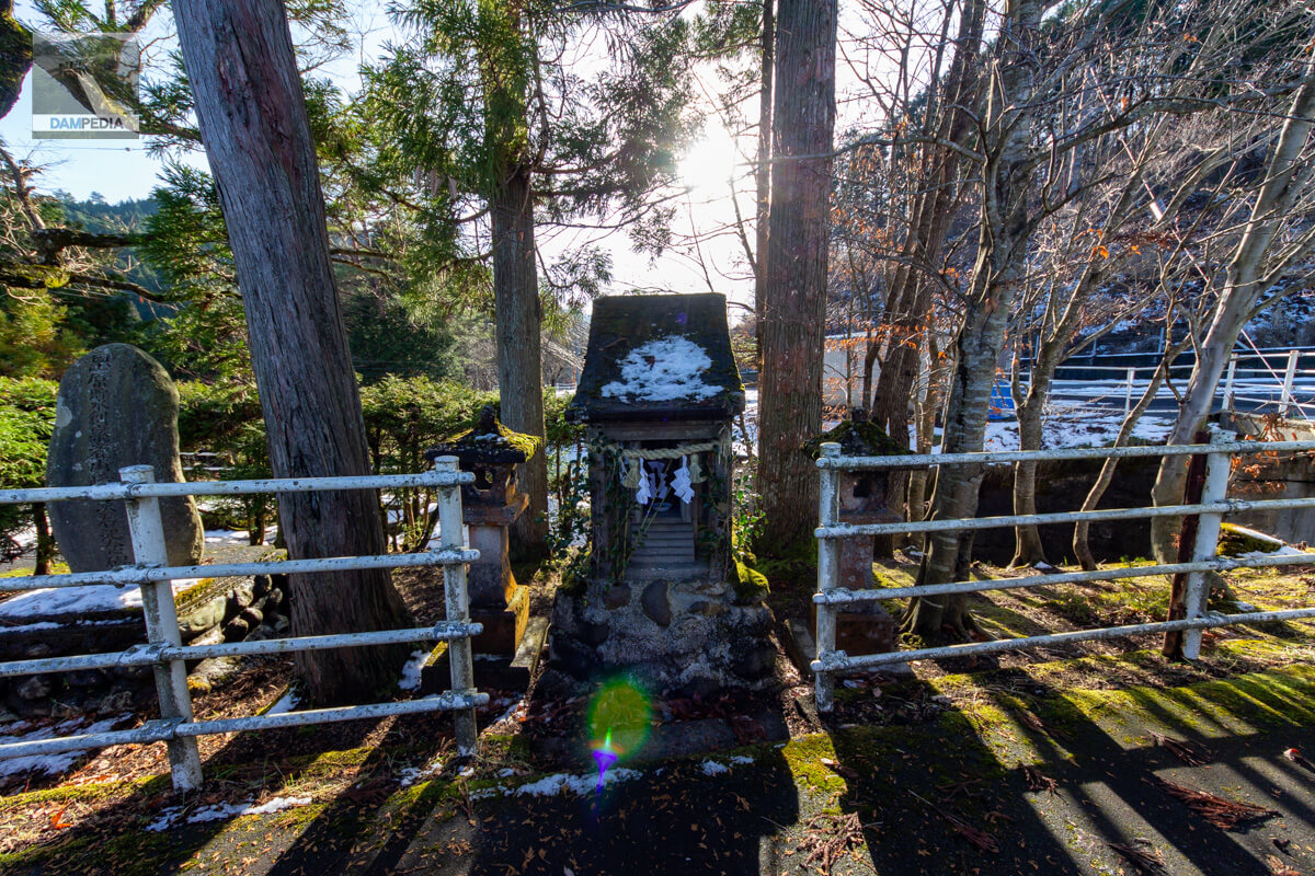
Monument to one's great achievement
There are several stone monuments on the right bank. This Seimeihi is supposed to be a memorial. seems to be a cenotaph.
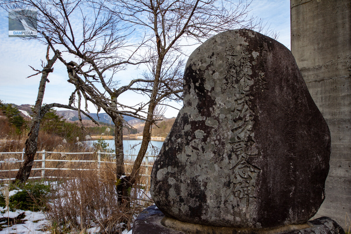
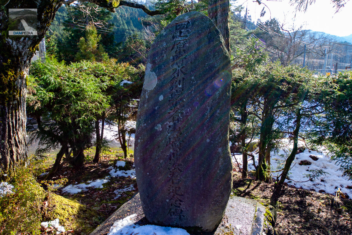
Monument of success
It is a monument commemorating the success of the Heisakubara Waterway, Onbara Reservoir, and Endo Waterway. And the date is May 1928. The Onbara Dam was constructed in 1928 as a reservoir for the Heisakubara Power Station, a dam canal-type power station.
The Heisakubara waterway refers to the conduit that carries water from the Onbara Dam to the Heisakubara Power Station. The Endo channel is a conduit for transporting water taken from the Endo River intake weir constructed on the Endo River, the left branch of the Yoshii River, and the Endohara River intake weir constructed on the Endohara River, a tributary of the Endo River, to the Onbara reservoir.
Monument to the Wounded and Sick of Construction
There are references that say the Seimei Monument is a cenotaph, but there is also a monument to the dead of construction injuries and illnesses, and I wondered if this one is not a cenotaph. I wondered if this one was not a cenotaph.
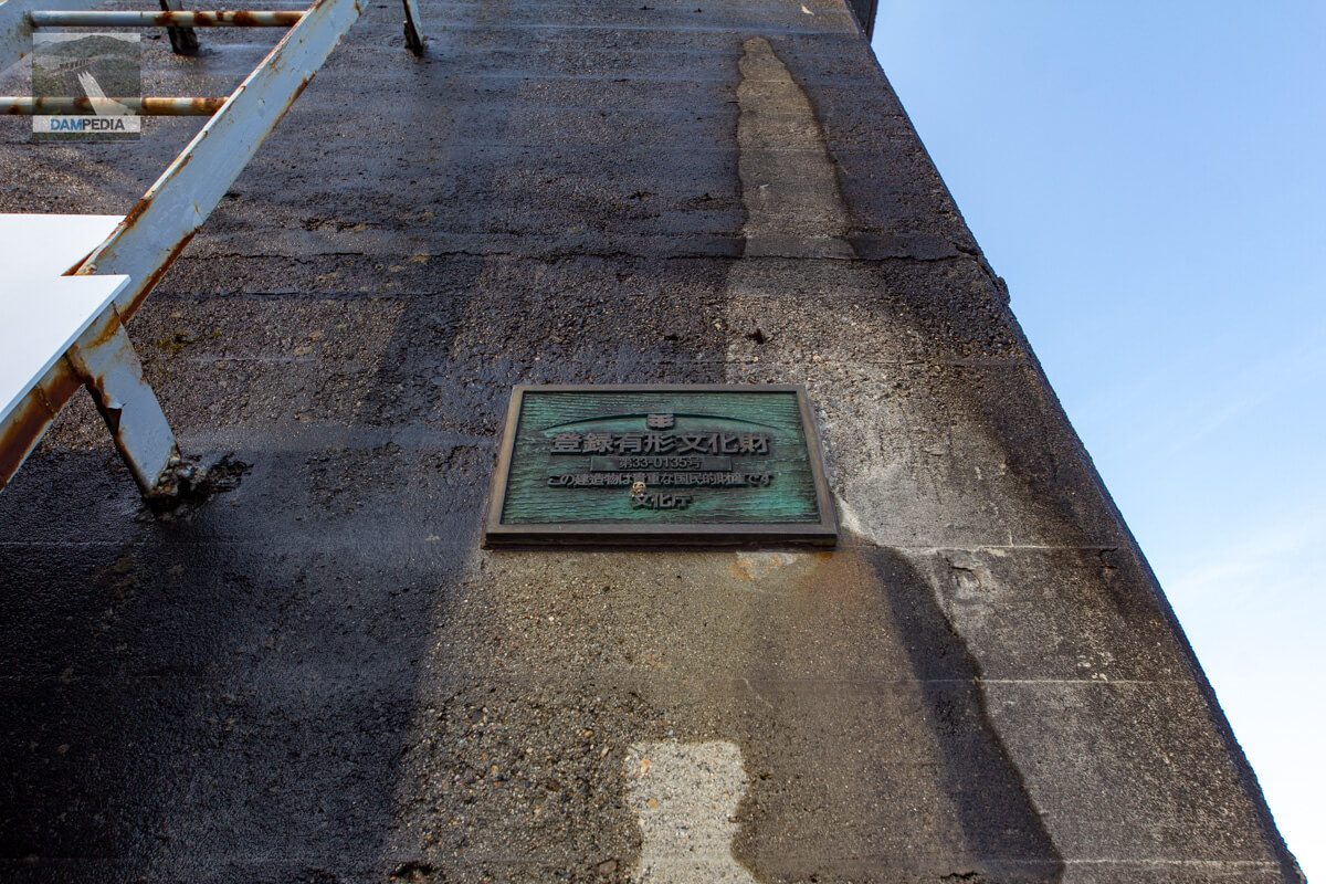
Registered Tangible Cultural Property Nameplate
Ten facilities related to the Heisakubara Power Plant, including the Onbara Dam, were designated as National Tangible Cultural Properties of Japan in November 2006. The photo shows the nameplate of the registered tangible cultural property displayed at the gate pier.
The Onbara Dam is also designated as a modern civil engineering heritage by the Ministry of Land, Infrastructure, Transport and Tourism.
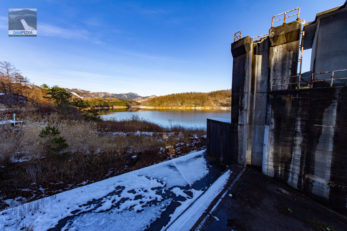
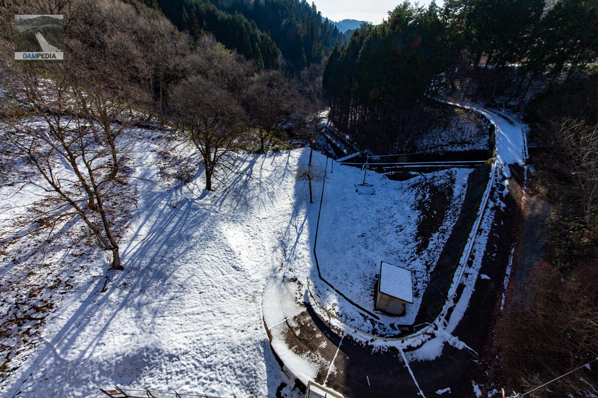
View of the upstream face of the embankment and reservoir from the right bank
On the right side of the photo, you can see the flood discharge and the upstream face of the embankment beyond it. The snow-white slope is the upstream face of the embankment.

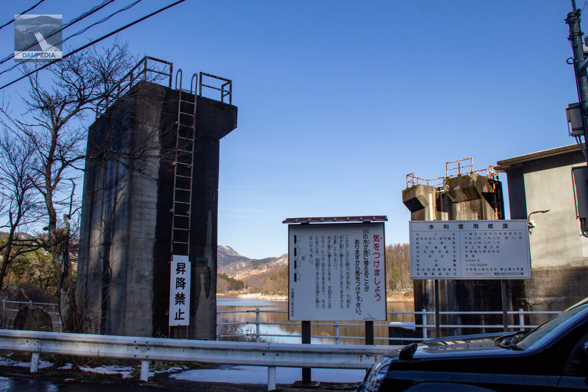
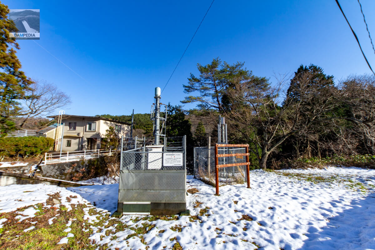
Onbara Area Rainfall Observatory (AMeDAS)
On the right bank is an AMeDAS installed by the Okayama District Meteorological Observatory. By the way, looking at a recent photo taken by Google Street View, it seems that a new building has been constructed on the left side of the AMeDAS. Is it a new management office?
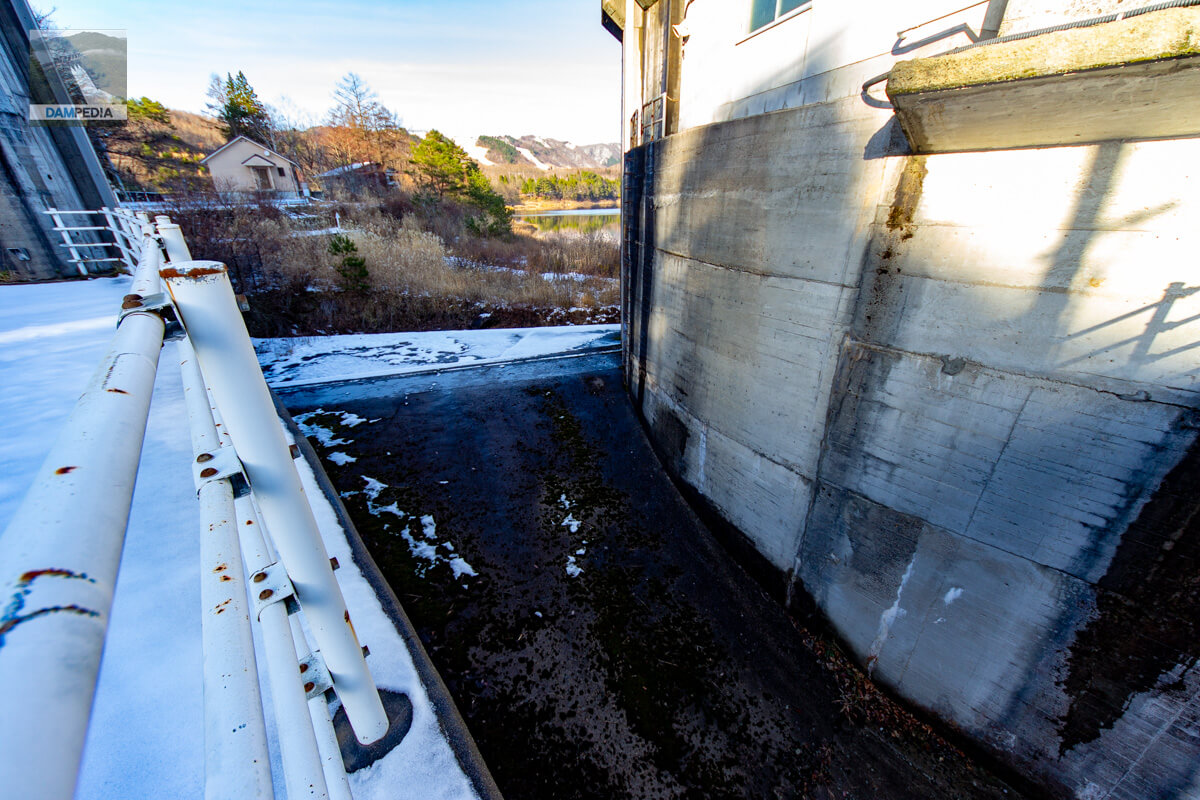
View of the top edge from the right bank
A path leading to the top edge is connected to the bridge on the right. The road is narrow, and automobile traffic is prohibited. The top edge cannot be seen properly from the right bank because of the angle.
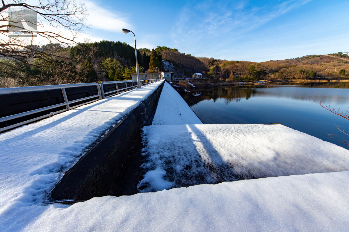
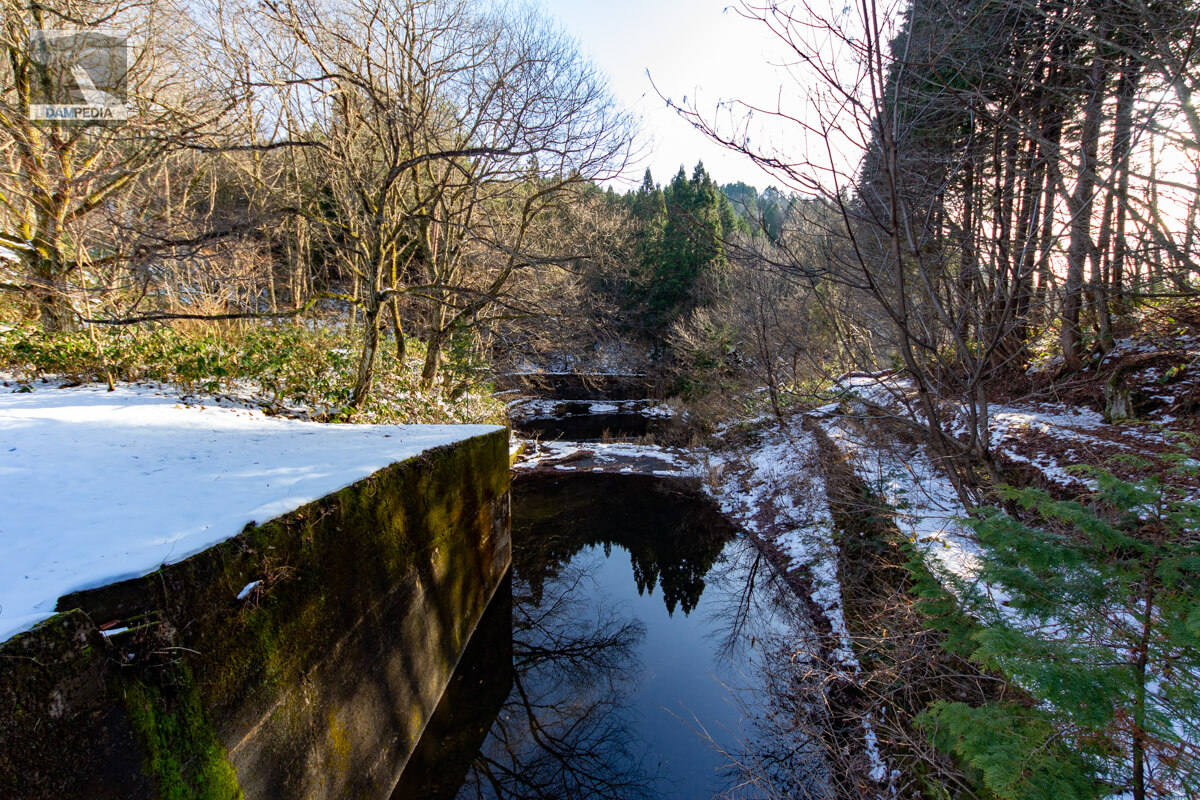
Looking upstream from the flood discharge
I will take a quick look at the right bank and move on to the top end, but first I will start above the flood discharge. From here, it looks like the water is rarely discharged, even in summer. There is a doorway for a corner drop at the gate pier, but I wonder if the corner drop is stored somewhere.
Flood discharge
Will water ever flow through here?
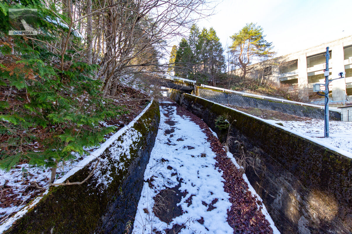
View of downstream conduit
The conduit is relatively long. It is oblique rather than perpendicular to the dam axis, so that it flows into the front of the downstream face of the embankment.

Mystery Building
There is a mysterious building on the left bank side of the gate pier. It seems to be different from the management office, so I wonder what it is.

Small shrine
It is quite backlit, but there is a small shrine across from the mysterious building. Apparently, a water god is enshrined there.
There is very little information about Chuji Yamazaki, and it is not known who he was at all. I found a document on the Internet that says he was involved in the cultivation and sale of tangerines in Ehime Prefecture during the Taisho period (1912-1926), but there is a possibility that he has the same name and the mystery continues to deepen.
mountainstanding form of "cape" characterHe says that there is little information about Nakatsugu, and we have no idea who he was. I found a document on the Internet that says he was involved in the cultivation and sale of tangerines in Ehime Prefecture during the Taisho period (1912-1926), but the mystery only deepens as there is a possibility that he has the same name and surname.
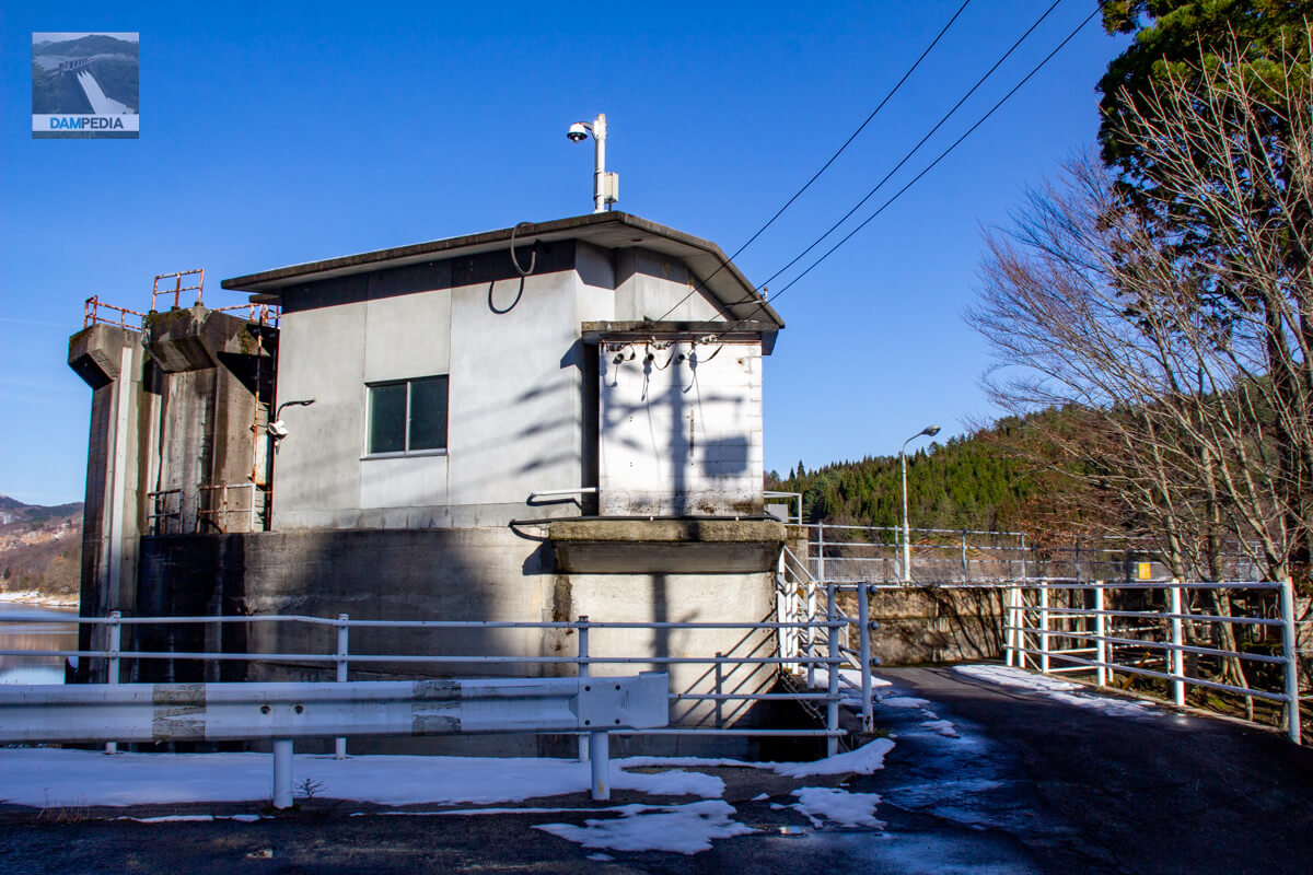
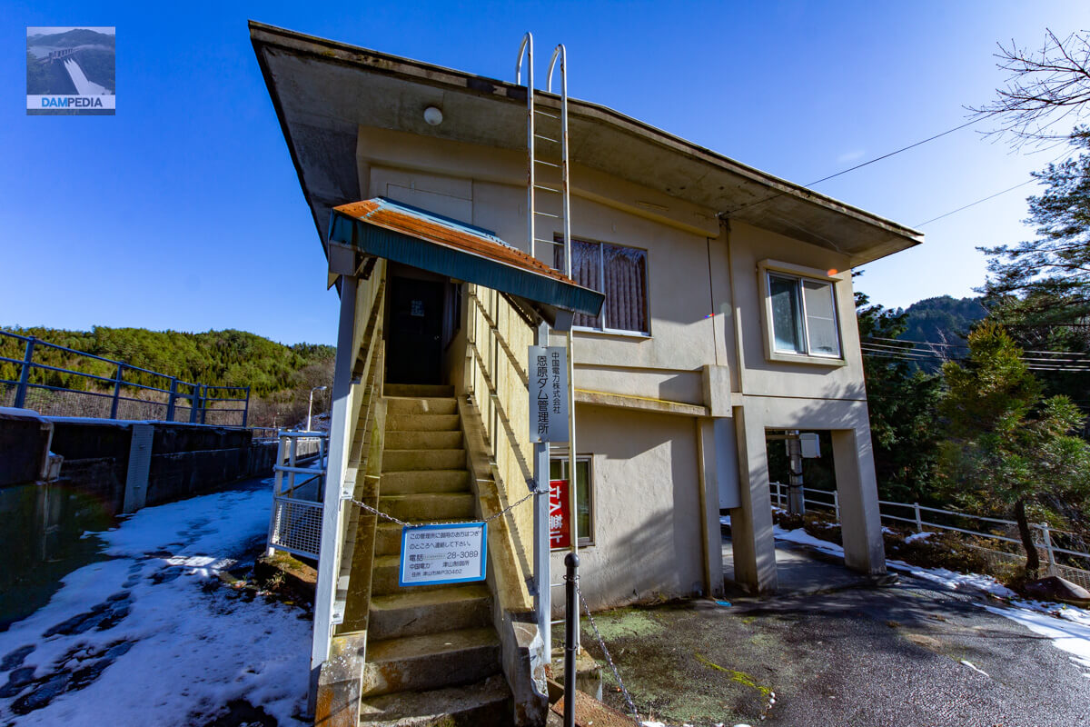
Chugoku Electric Power Co. Onbara Dam Management Station
As noted above, it appears that a new building has been constructed next to the amedas, and if that is the new control center, this control center may no longer be in use.
View of the top edge from the side of the administration office (toward the left bank)
The top edge is quite narrow.

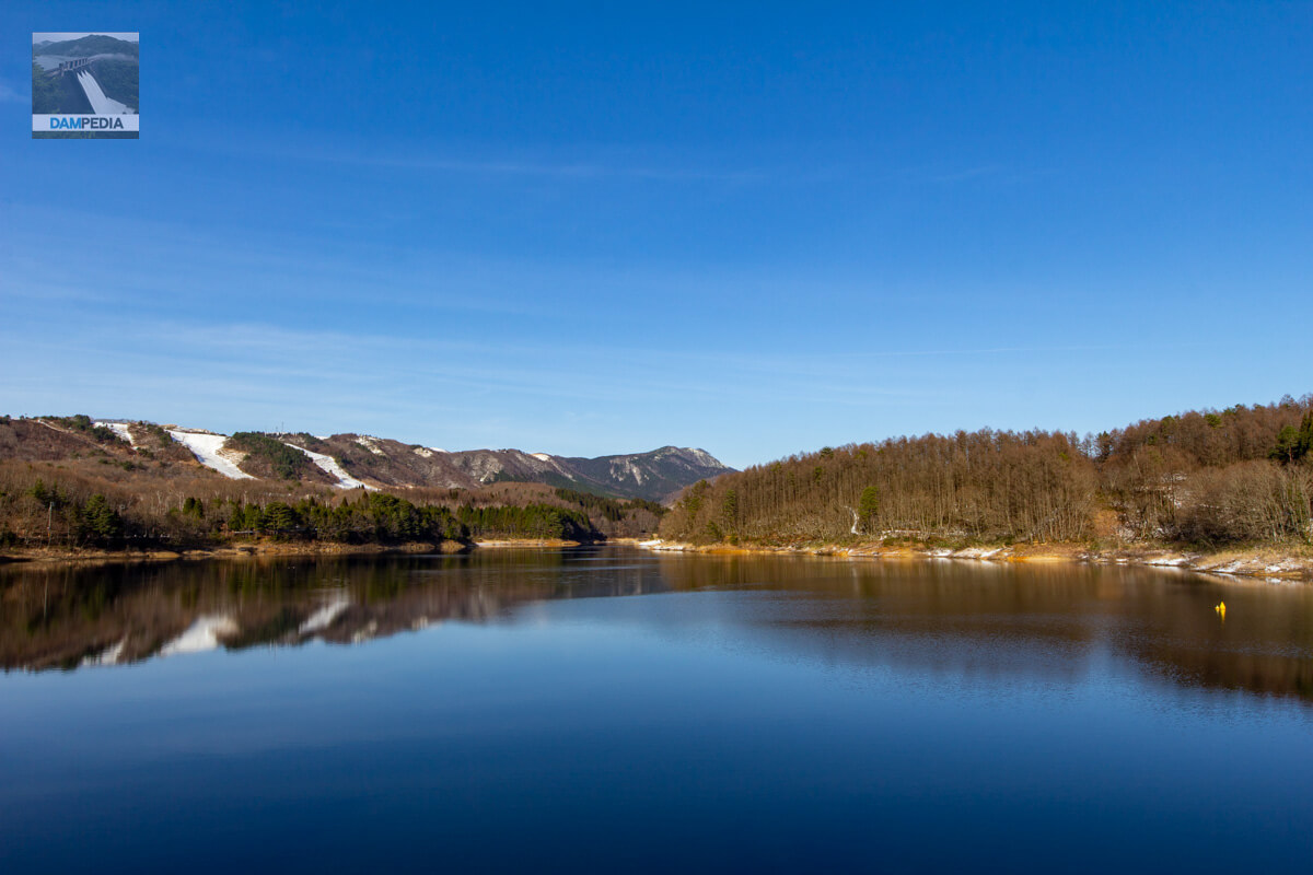
View of Lake Onbara from the top
Although tourist websites sometimes describe the lake as "rich in nature," it is a man-made lake, isn't it? It is a little regrettable that it is not well known to the general public that dams can also create such scenic spots.
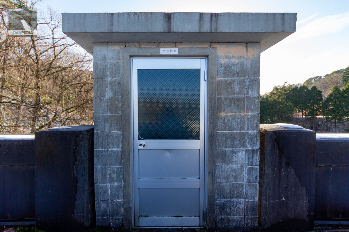
Water gauge chamber
A concrete block water level gauge chamber is provided at the top end.
Looking upstream from the left bank
The reservoir side of the dike is covered with snow and the concrete surface is not visible. The downstream face of the embankment stands almost vertically, so the slope on the reservoir side is probably 1:1.
Looking downstream from the left bank
The views from both the left and right banks are not very good. From here, you can see that the downstream face is cut off, but you can hardly see what the surface looks like.

View of the top edge from the left bank
The left bank can be reached on foot to the national road, but the snow was so deep that we decided to turn back here. This is a photo of the top edge at that time.

Looking downstream from the top
I look for it here and there, hoping to see the downstream face that somehow characterizes it as a buttress dam. I leave the top edge of the dam thinking, "There seems to be a path leading downstream, but I wonder if I can get there..." and so on.
Path leading to the downstream face
Sure enough, the path leading to the downstream face was blocked by a fence.

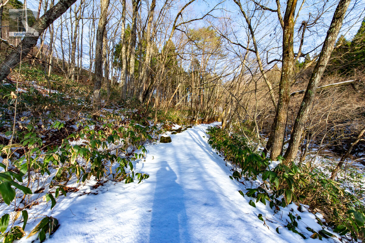
Path found by casually looking for a roadway on the right bank.
While looking for other paths, I found a path that was clearly cut by people, unlike the animal trail. There were no signs or anything, but I walked on anyway.
!!!!
I reached it without difficulty as I walked at a leisurely pace. As you can see, there are some fallen trees, so you need to be a little careful, but it may be a patrol route.
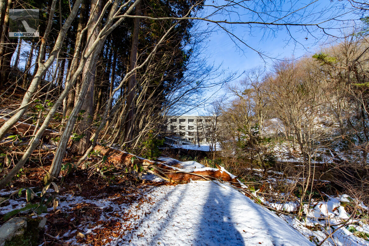
Looking downstream from the right bank
Yes! The buttress dam embankment I've dreamed of!
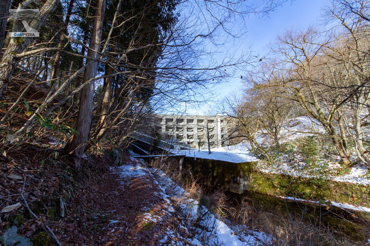
View of the conduit in the upstream direction from the bridge downstream
A small bridge crosses the conduit to the embankment. The slope of the channel appears to be quite steep.
Looking downstream from the bridge downstream of the dike
It is a bit dense downstream. The right hand side of the photo is the path you walked on.
View of the downstream face of the dike
I was told by someone that it is off-limits to go any further up to the embankment, and since there are security cameras, I will observe the embankment from a distance. To tell the truth, I would like to go up to the point where I can touch the embankment, but since it is a dam of high historical value, I would like to request that an official tour of the dam be conducted.
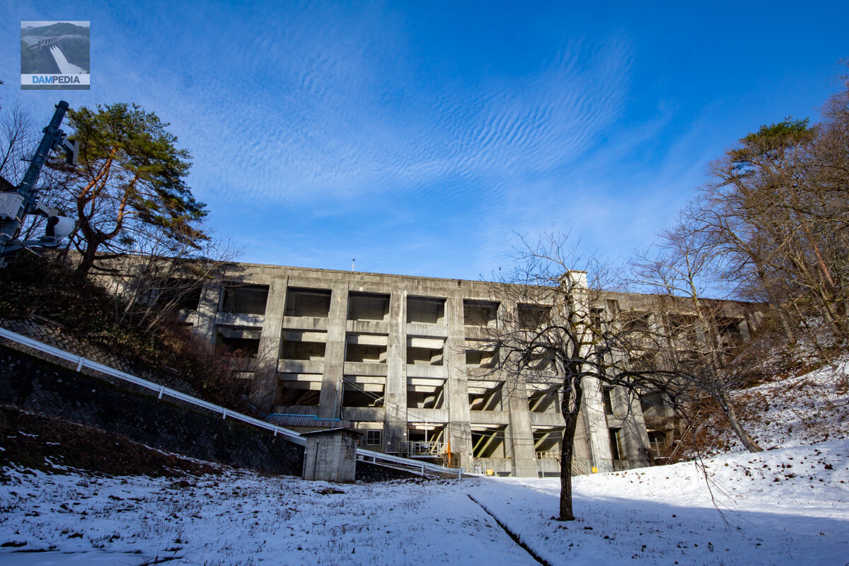
The most distinctive feature of the buttress dam is that the inside of the embankment is hollow and composed of beams and pillars in a grid pattern. The Onbara Dam is the second oldest existing buttress dam and the oldest dam dedicated to power generation. Although the dam has a historical style, the appearance you see today is not actually as it was when it was built.
Buttress dams are hollowed out inside, and the water pressure is supported by a water barrier or continuous arch on the upstream face of the embankment using columns and beams, and the water pressure is transferred to the foundation ground.
The theory of buttress dams has allowed us to reduce the amount of concrete used and the cost of transportation, which would have been expensive with gravity concrete dams that use large amounts of concrete, especially since concrete was expensive when they were first constructed in the 1920s and the Onbara Dam was located deep in the mountains. However, the buttress dam had the advantage of reducing the amount of concrete used and transportation costs.
On the other hand, however, because the concrete was constructed thin, cracks and surface delamination were more likely to occur, and reports of frost damage began to come in from overseas. In response, the Onbara Dam underwent repair work in 1952 to thicken the concrete pillars and beams.
The Onbara Dam therefore gives the impression of being solid and sturdy, but I would have liked to have seen the appearance of the embankment at the time of its construction, which is thought to have been slender.
Such was the Onbara Dam, which has a very high historical value.
Onbara Dam Specifications
| Location | Kamisaihara, Kagamino-cho, Tomata-gun, Okayama |
| River Name | Yoshii River System Onbara River |
| Objective | P(Power generation) |
| Model | B (Buttress Dam) |
| Bank height | 24m |
| Bank length | 93.6m |
| Dam volume | 30,000m3 |
| Watershed Area | 24.1 km2 (direct: 9.3 km2, indirect: 15 km2) |
| Reservoir area | 26 ha |
| Total storage capacity | 1,853,000 m3 |
| Effective water storage capacity | 1,752,000 m3 |
| Dam operator | The Chugoku Electric Power Co. |
| Main body constructor | - |
| Year of launch | - |
| Year Completed | 1928. |
| Name of Dam Lake | Onbara Lake |
Other facilities/observations
There is no parking lot, but there is a large space on the left bank.
| Parking lot | × |
| Toilet | × |
| Park | × |
| PR Exhibition Hall | × |
| Fishing | ○ (fishing fee required, lures prohibited) |
| Viewing platform | × |
Map around Onbara Dam
Weather around Onbara Dam
Accommodations that may be close to Onbara Dam

Comment