
Location: Tomioka, Shinshiro City, Aichi Prefecture
Date of interview: 2005/07/18
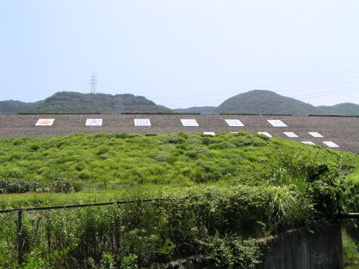
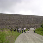
View of the levee from downstream

It is located between the Mikkaichi Interchange and Toyokawa Interchange on the Tomei Expressway, so even those who are not interested in dams will probably think, "Oh, that's it," if they have ever driven through the expressway. That is the Ohara Regulating Pond. On some maps, it is referred to as the Ohara Dam.
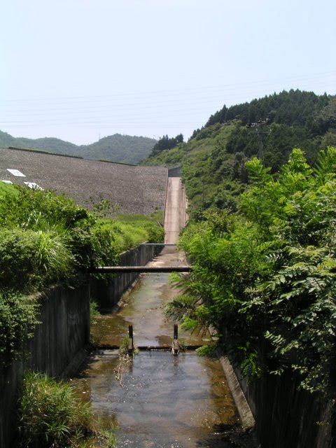
View of the conduit from downstream
Ohara Regulating Pond serves as a regulating reservoir for the Toyokawa River water supply, and is one of seven in total.
This photo shows the view of the conduit from the flood discharge. It seems to be a simple structure with many flat surfaces.
dust collector

Important facilities related to the Toyokawa water supply were scattered downstream. This is a machine called a "dust collector" that removes debris from the irrigation water. It was in operation at the time of the interview. In the area where I live, there are many irrigation and drainage pump stations of various sizes, and I have seen dust collectors several times, but this was the first time I actually saw one in operation.
Ohara pumping station
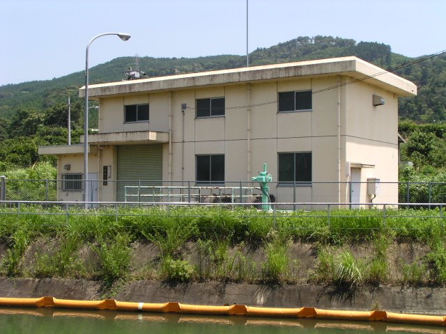
This is Ohara pumping station. This is a so-called pumping station. When there is an excess of water, water is pumped into the Ohara Reservoir and stored at this facility.
Ohara Spillway
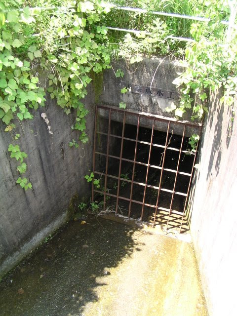
This waterway was given the splendid name "Ohara Water Discharge Works.
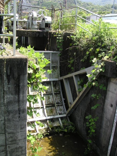
Gate at the pumping station
View of the top edge from the right bank
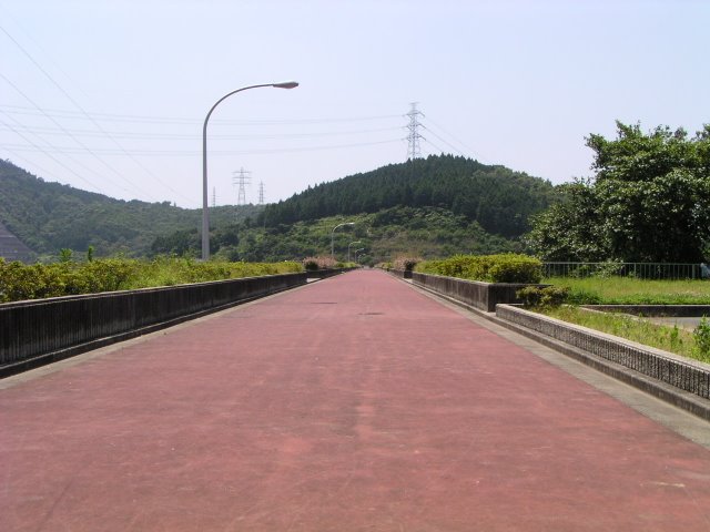
Parking is available at the right bank dam site. Automobile traffic is prohibited at the top end. There were a few walkers here and there, but it was quite hot.
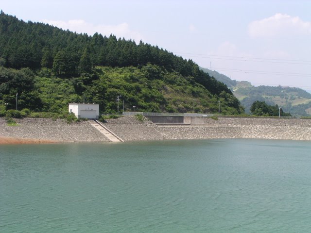
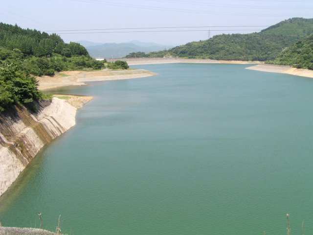
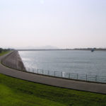
View of the dam lake side embankment and dam lake from the right bank
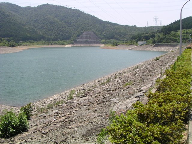
It seems to be a place of recreation and relaxation with various improvements.
View of the downstream bank from the right bank
The view from the highway is completely different from actually coming to the dam like this.
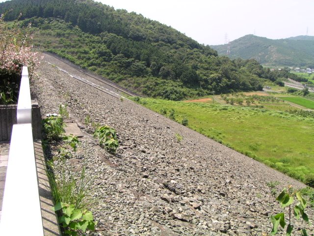
View of the downstream bank from the left bank

The riprap seems to be of average size relative to the size of the dike. However, it seems to be laid out very finely.
View of Shinshiro PA on the Tomei Expressway from the top

This is the Shinshiro Parking Area of the Tomei Expressway seen from the top. Incidentally, access from the expressway is from the Mikkaichi Interchange or Toyokawa Interchange, but both interchanges are quite a distance away, so if you are getting off the expressway, you may want to visit the surrounding dams as well, and if you are not getting off, you may want to attack on foot from this parking area.
conduit
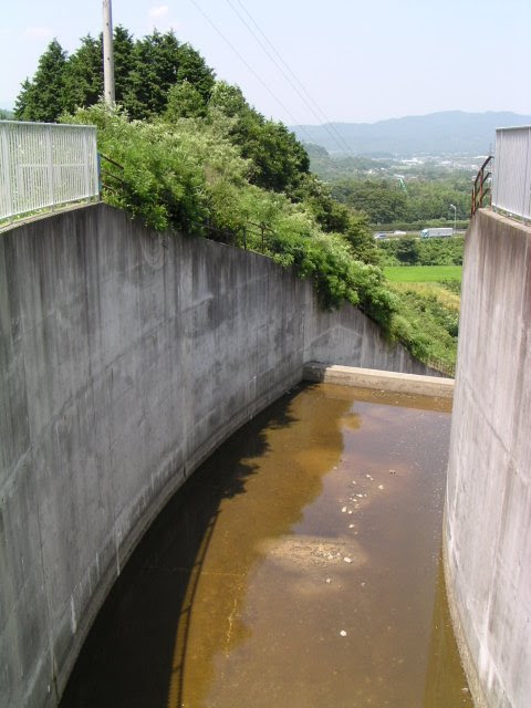
I drew a curve.conduitThe following is a list of the most common problems with the
Flood discharge

The flood discharge is a natural overflow type.
View of the conduit from the top edge
It is a long conduit.
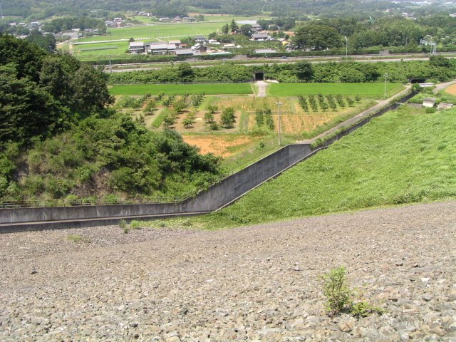
Flood Discharge and Inclines
seen from the opposite shoreFlood dischargeThe size of the room is not so much "big" as it is "long. It is not so much "big" as "long."
View of the dam lake from upstream
Upstream" may not be the right word. It is just for the sake of convenience. The dam lake is called "Lake Goyohako," named after the ruins of a castle called Goyoh Castle, which is located in front of the dam.
dam characteristics
| River Name | Toyokawa River system Toyokawa |
|---|---|
| Objective | Water for irrigation and water supply |
| Model | rockfill dam |
| Bank height | 47.9m |
| Bank length | 351m |
| Dam volume | 711,000m3 |
| Watershed Area | 1.9 km2 |
| Reservoir area | 18 ha |
| Total storage capacity | 2,020,000m3 |
| Effective water storage capacity | 2,000,000m3 |
| Dam operator | Tokai Agricultural Administration Bureau |
| Main body constructor | Nishimatsu, Obayashi, Sanko Construction |
| Year of launch | 1977 |
| Year Completed | 1993 |
Other facilities/observations
It is a little inaccessible, but may be good for walking or jogging.
| Parking lot | ○ |
|---|---|
| Toilet | ○ |
| Park | ○ |
| PR Exhibition Hall | × |
| Fishing | × |
Comment