
Date of interview: Wednesday, 12/10/2014
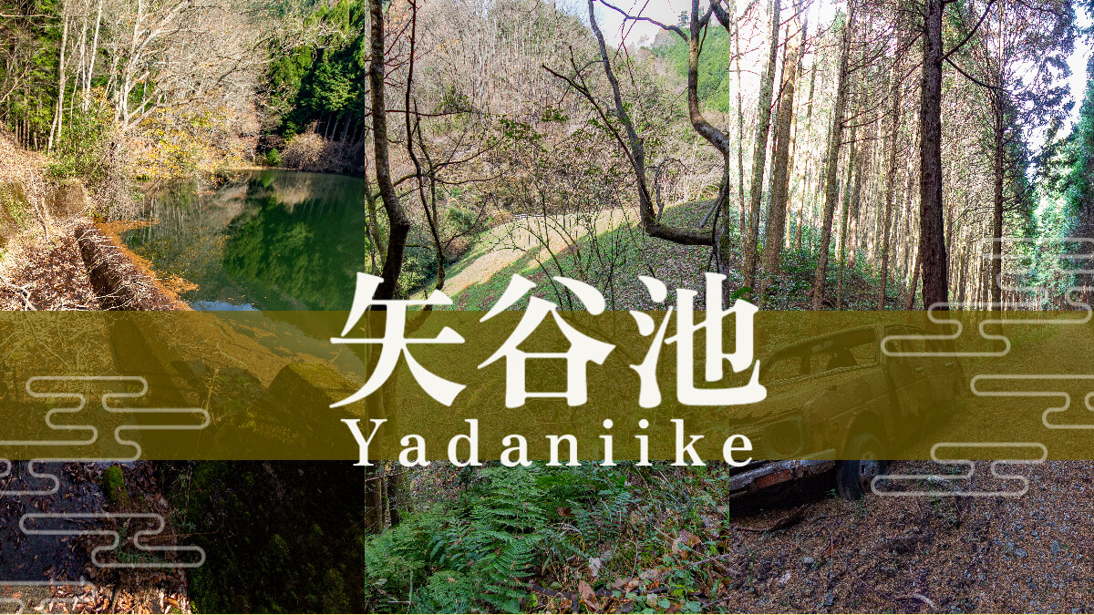
The sixth unit of the day was Yatani Pond. As the name suggests, it is an earth dam and a reservoir. The map clearly shows that the Gokurakuji Pond, Ichinotani Pond, and Yatani Pond are dams constructed in three different valleys. It looks as if the three dams are standing side by side.
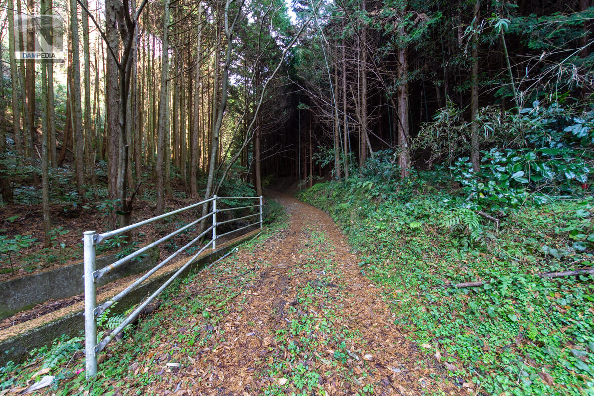
Road on the way to Yatani Pond
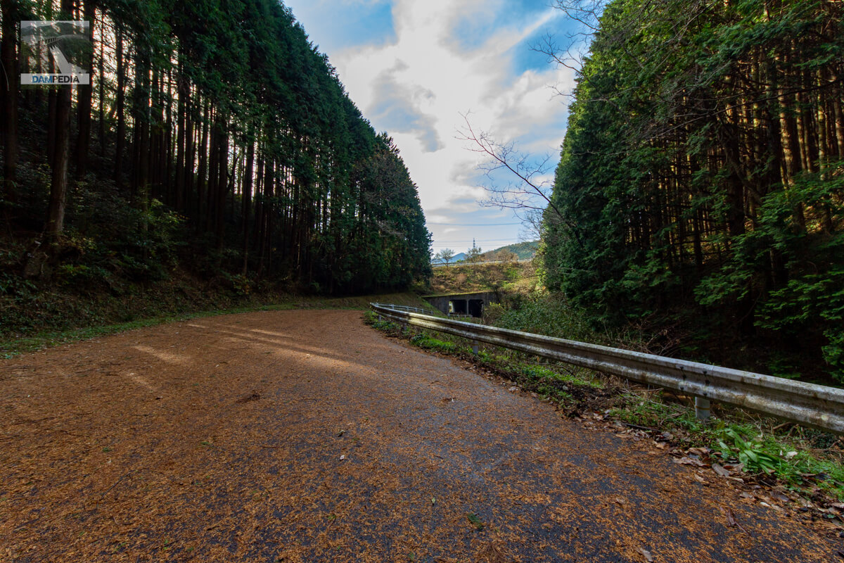
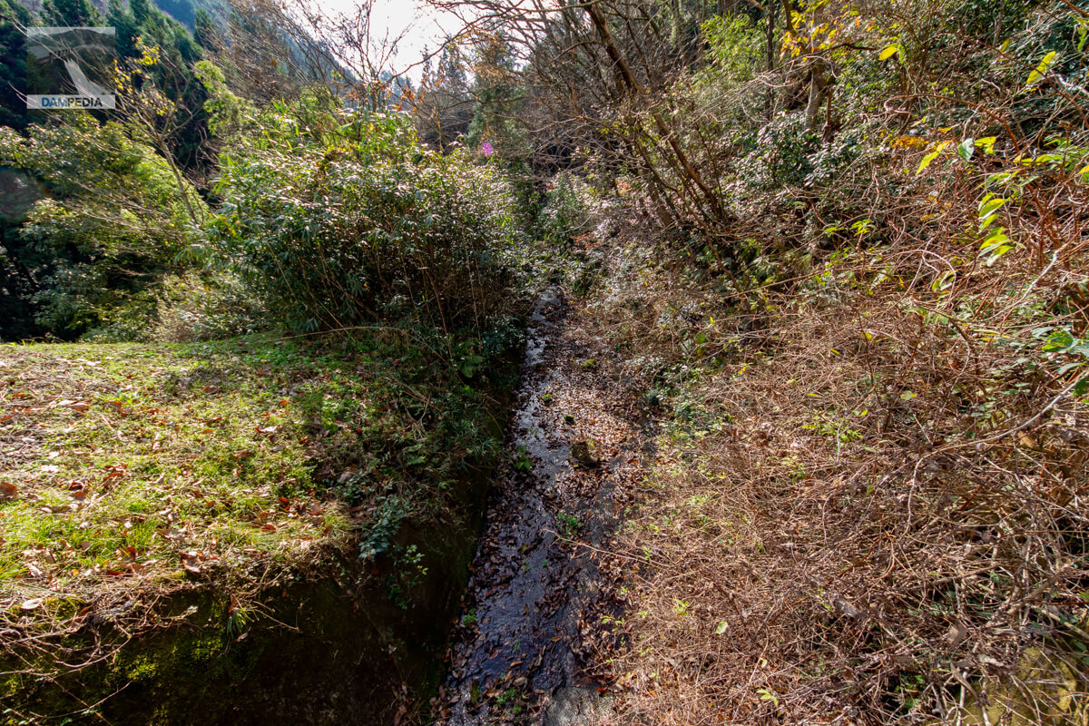
Getting to Yatani Pond is a bit complicated. The photo below is looking downstream, and Route 179 passes over the two box culverts in a row.
Route to Yatani Pond
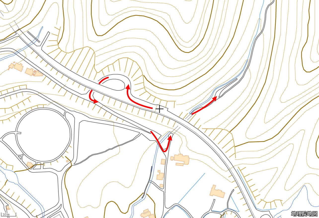
Yatani Pond may not be shown on Google Maps, so it would be better to check it in advance using GSI maps or other means when you go there. If you are going north on Route 179, turn right and go through the loop underpass, then go east on the side road of the national highway as if you were going back the way you came, cross a small river (Tsukadani River flowing from Yatani Pond), turn left, and go through the box culvert underpass of the national highway to reach the place shown in the photo above.
Road to Yatani Pond
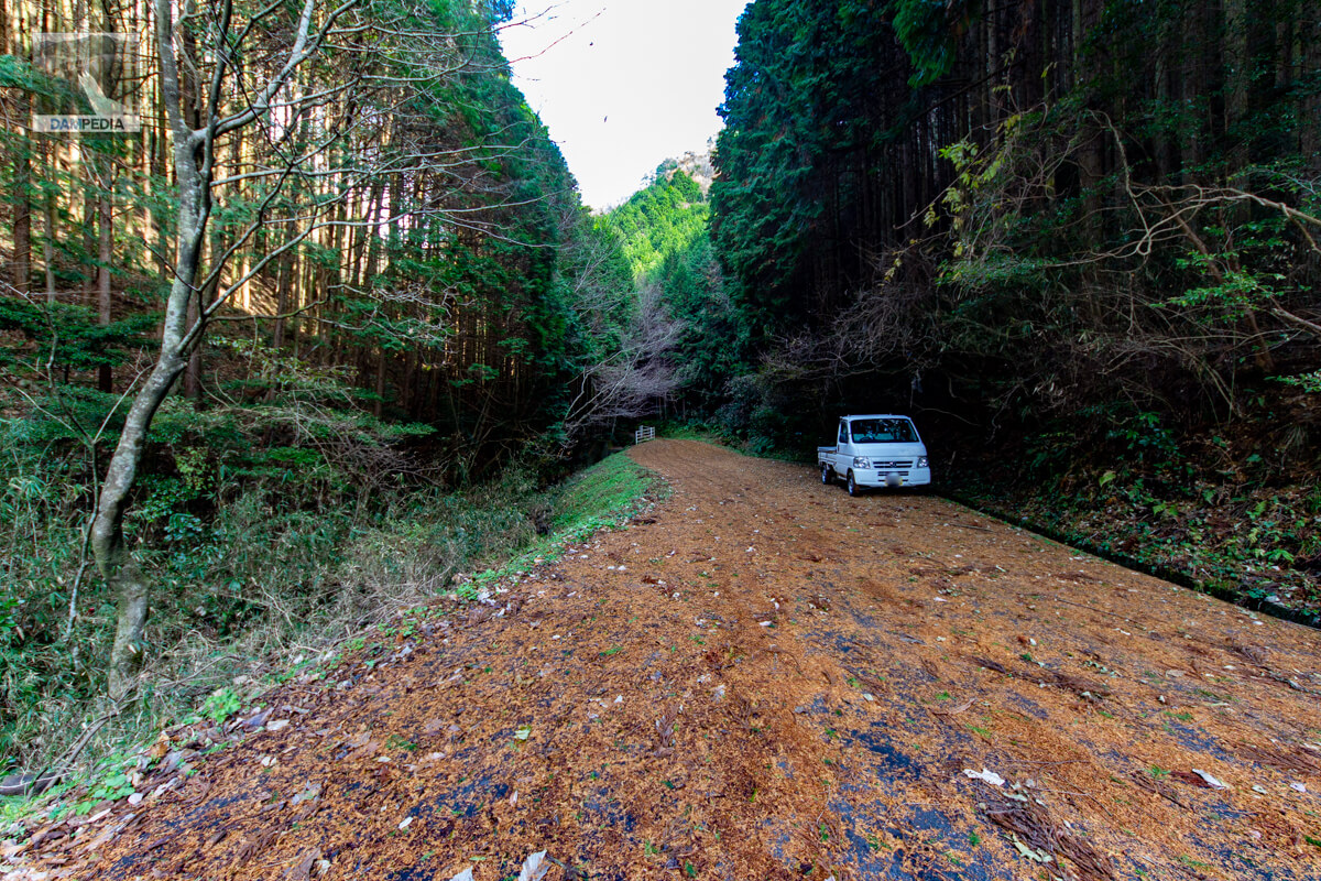
We were uncertain what kind of road lay ahead, so we parked our car in this area and headed there on foot.
Dirt heading to Yatani Pond
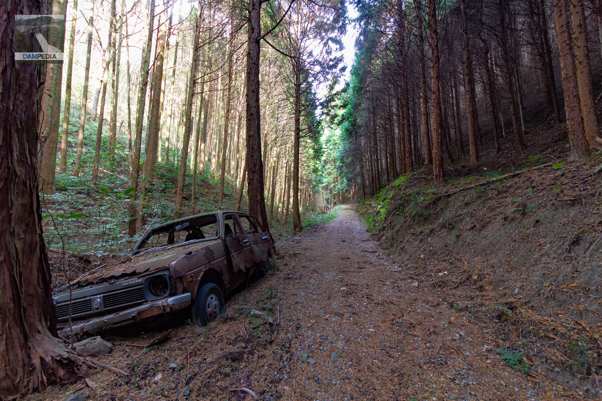
Then it soon became a dirt road. There are ruts, so light trucks may be passing through. We also played music on our smart phones to keep the bears away, just in case.
Daihatsu MAX CUORE
Further down the road, I found a rotting Daihatsu MAX CUORE, a light car sold in the late 1970s. It was a car that was sold in the late 1970's. I felt a bit sad to see a car that was the same age as mine rotting away like this.
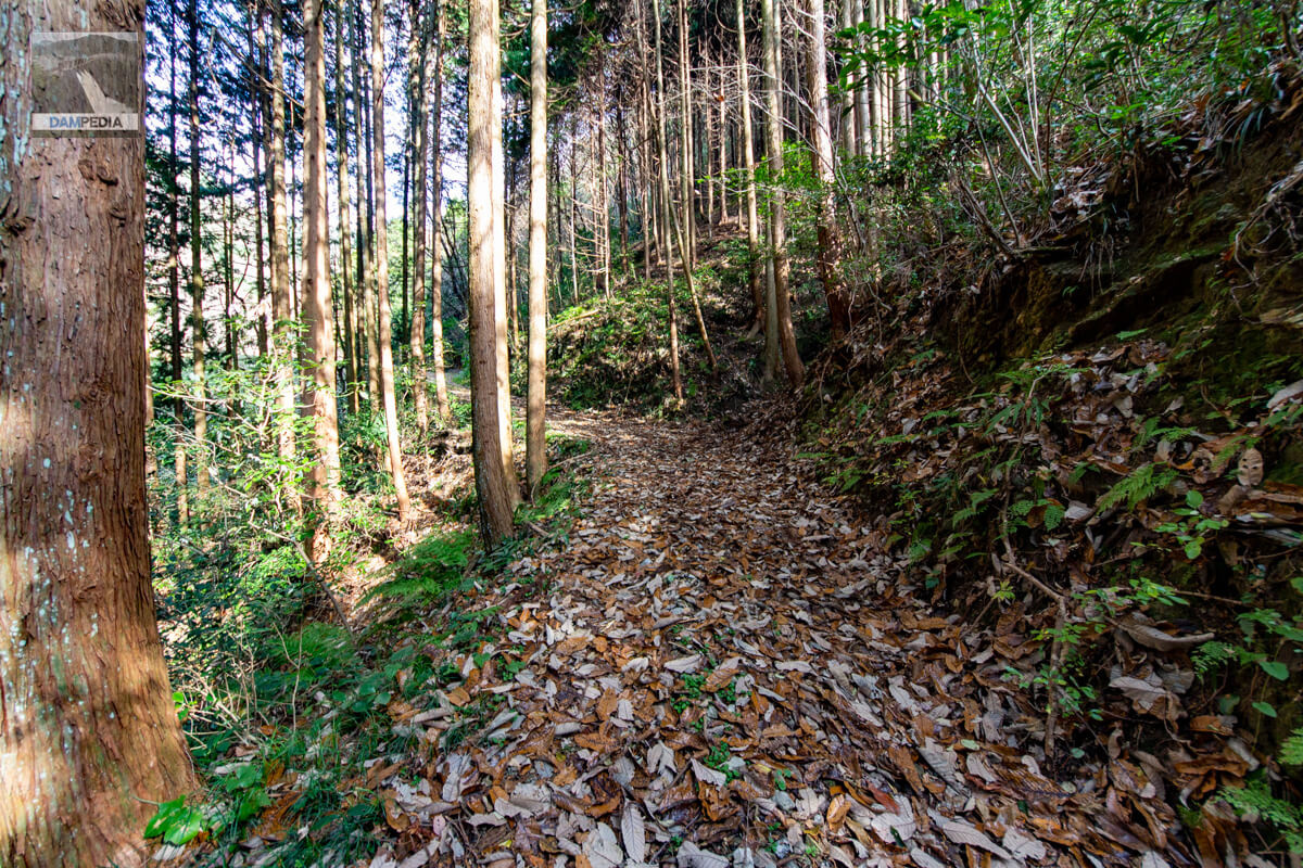
No longer rutted...
Before you know it, the ruts will be gone and you will be crunching on fallen leaves. I don't like fallen leaves this time of year because they are a little dusty, but the smell of the earth mixed with the leaves is surprisingly addictive.
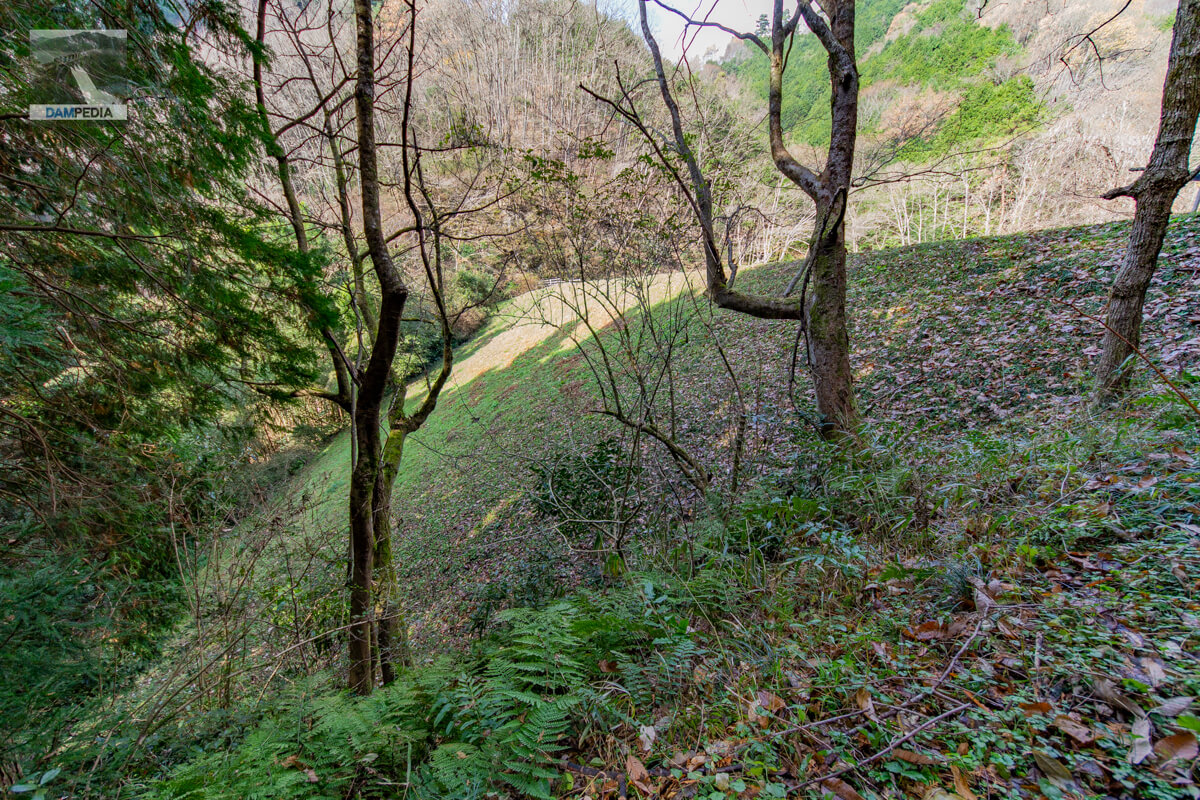
Looking downstream from the left bank
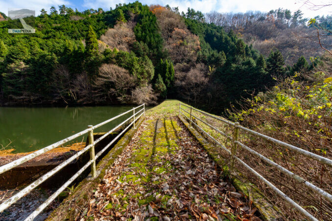
After a few more steps, the embankment suddenly comes into view. The solitary walk makes it seem far away, but in reality, it does not seem that long. The embankment of Yatani Pond is also neatly maintained, and there is no impression that the grass is growing all over the place.
View of the top edge from the left bank
The town of Kagamino has erected a sign that makes you think for a moment that it is a pun: "Do not play in the pond. The bank is still very beautiful. I would like to visit the pond when it is freshly green.
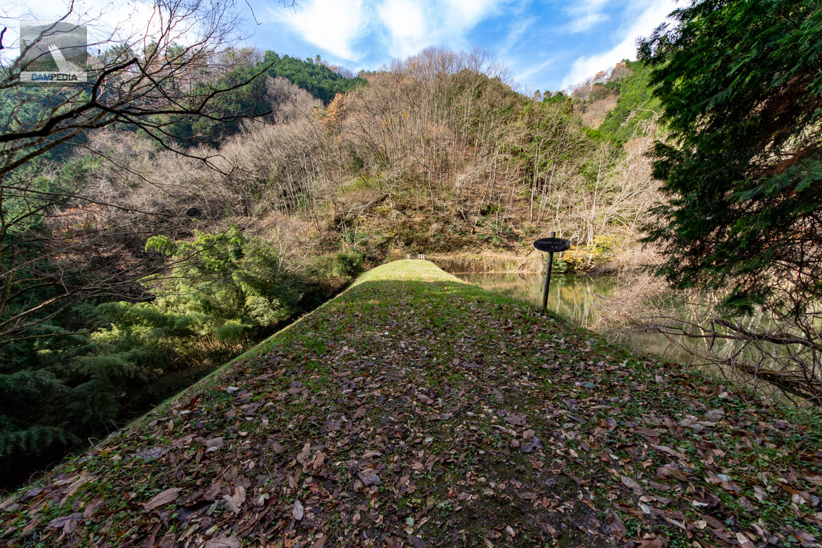
Looking upstream from the left bank
From the left bank, it is difficult to see the upstream face of the embankment due to the trees.

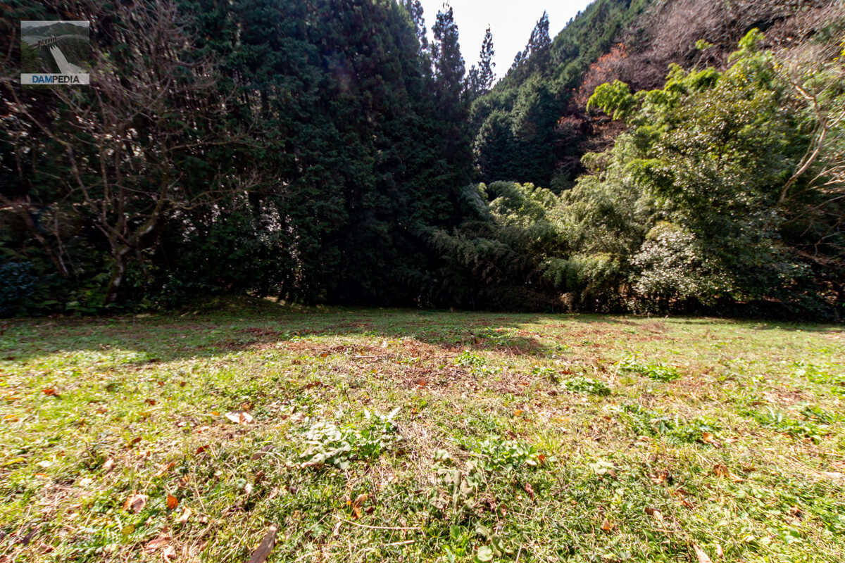
Looking downstream from the top of the levee
The levee is clean, but there are some trees downstream that are down, so I thought a little care of the forest would be a good idea.
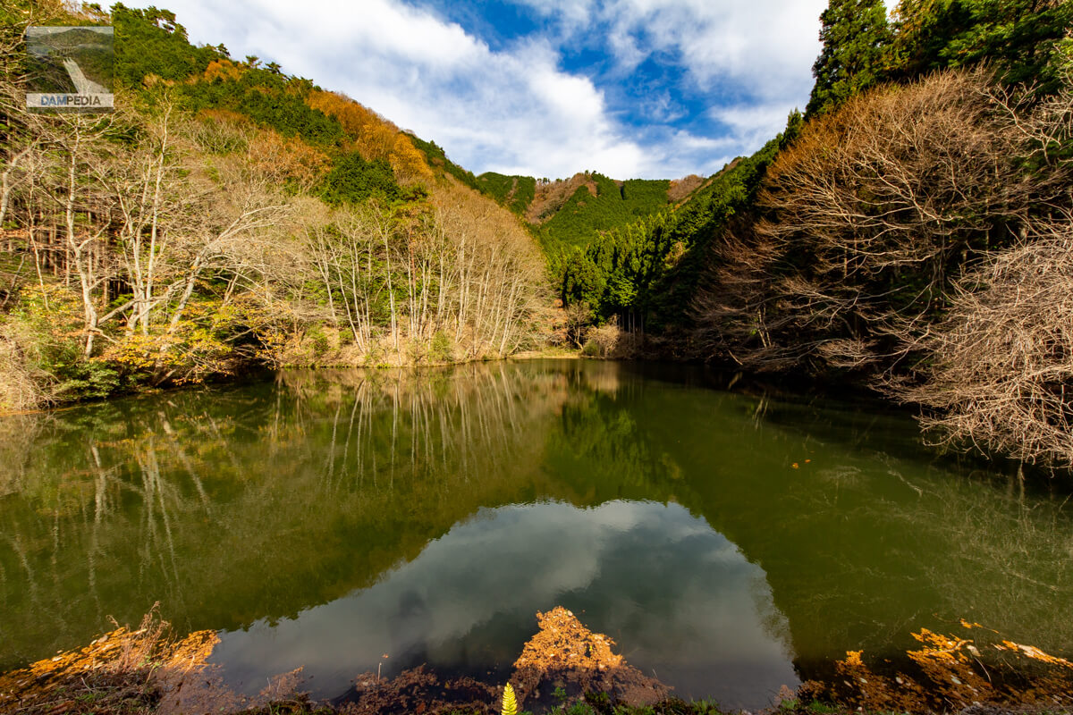
View of the reservoir from the top
As you can see, there are no houses and no one is around, so it is a quiet and secluded reservoir.
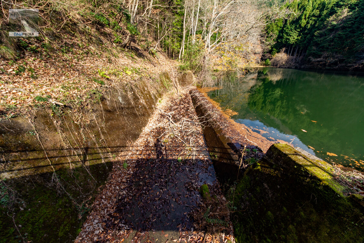
View of the spillway upstream from the top edge
The spillway is a side channel type. The water level was just above the top of the overflow dike. If the wind blows strongly, it is likely to overflow.
Looking downstream from the top of the ceiling at the residual water discharge
The downstream spillway has become a little rough with grass and trees covering it.
View of the top edge from the right bank
It feels like a dam that pursues simplicity to the extreme without much dressing up. It is also good that nothing is there.
Yatani Pond is a simple earth dam with no major features, but it was a little fun to walk around it.
Yatani Pond Specifications
The * mark is the notation in the dam handbook.
| Location | Tsukadani, Kagamino-cho, Tomata-gun, Okayama |
| River Name | Yoshii River system Tsukadani River *Jinjo River |
| Objective | A (irrigation water) |
| Model | E(earth dam) |
| Bank height | 17.8m *20.6m |
| Bank length | 45m *47.5m |
| Dam volume | 15,000 m3 |
| Watershed Area | 0.4km2 |
| Reservoir area | 1 ha |
| Total storage capacity | 23,000m3 *31,000m3 |
| Effective water storage capacity | 31,000 m3 |
| Dam operator | - |
| Main body constructor | - |
| Year of launch | - year |
| Year Completed | - year |
| Name of Dam Lake | - |
Other facilities/observations
| Parking lot | × |
| Toilet | × |
| Park | × |
| PR Exhibition Hall | × |
| Fishing | ×x? |
| Viewing platform | × |
Map around Yatani Pond
Weather around Yatani Pond
Accommodations that may be close to Yatani Pond


Comment