
Date of interview: Saturday, 1/4/2014
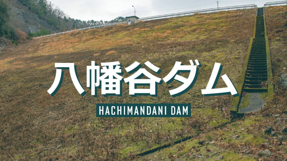
We chose a group of dams in western Kyoto and western Hyogo for our first dam visit of 2014. Hachimantani Dam was the first dam we visited that day.
Downstream view of the levee from the right bank road
The Hachimantani Dam is an earth dam located in Tambasasasayama City, Hyogo Prefecture, as you can see, and is dedicated for irrigation. The irrigation area is approximately 690 ha, and the trunk canal is approximately 10 km long.
It was around 9:00 a.m. on this day, but the sky was overcast, just like in midwinter. So the photos are a bit dark.
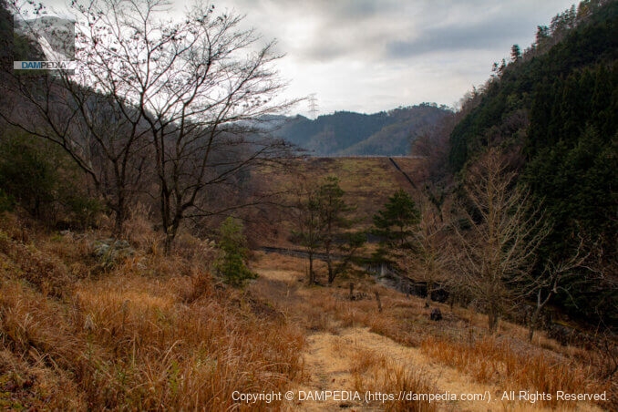
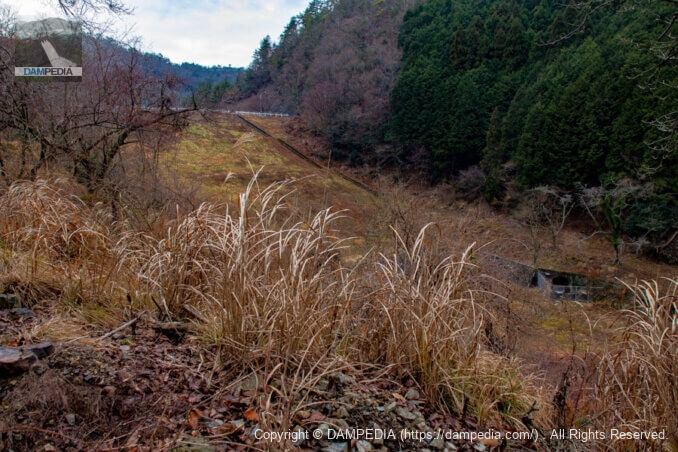
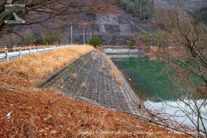
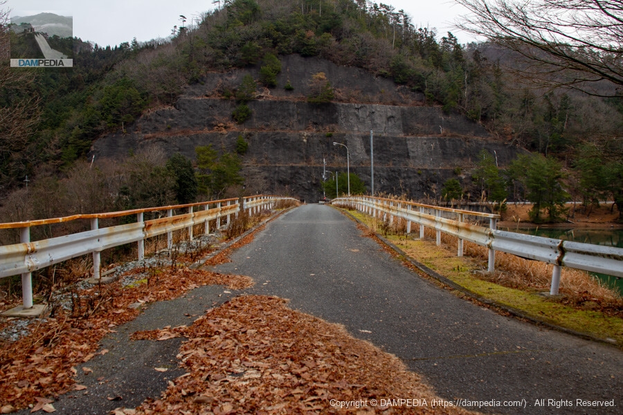
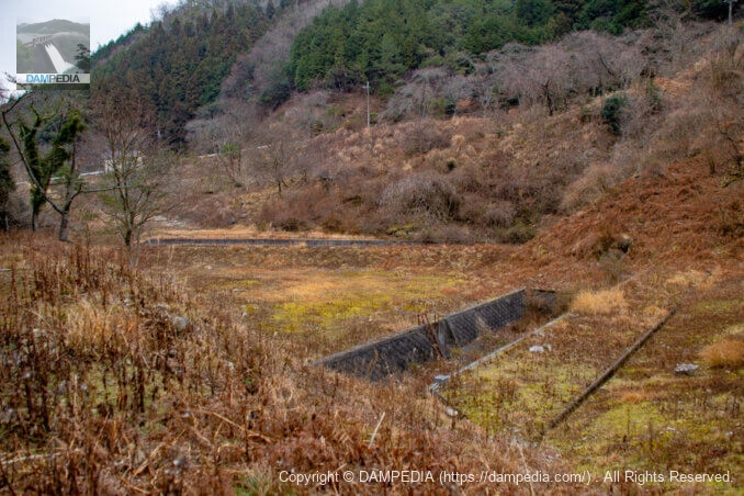
Looking downstream from the right bank road
The right bank road is a little grassy, and the view to the levee is somewhat obstructed. There is a flood discharge on the right bank, but we could not find a point where we could see the levee and the flood discharge together.
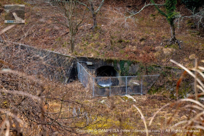
Water conduit tunnel portal
Water from the intake facility appears to come out here.
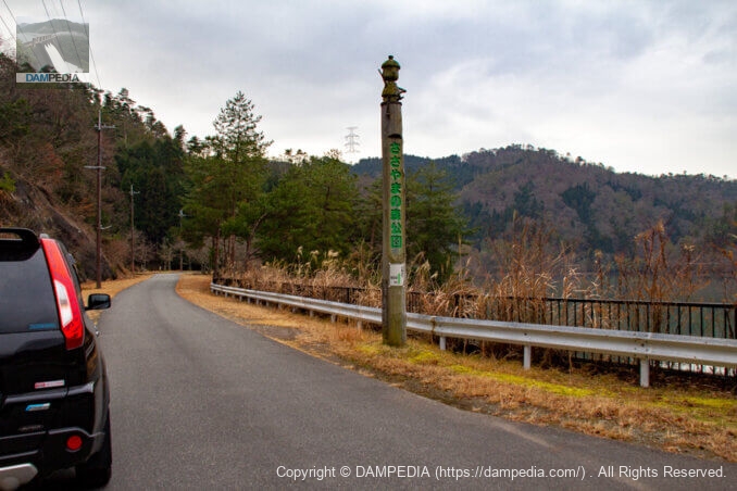
right-of-way
At the upstream end of the reservoir is a facility called "Hyogo Prefectural Sasayama Forest Park," which seems to have a walking trail and facilities for various experiences.
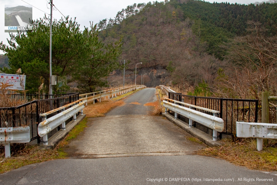
View of the top edge from the right bank
The top end is open to automobile traffic and the reservoir can be circled.
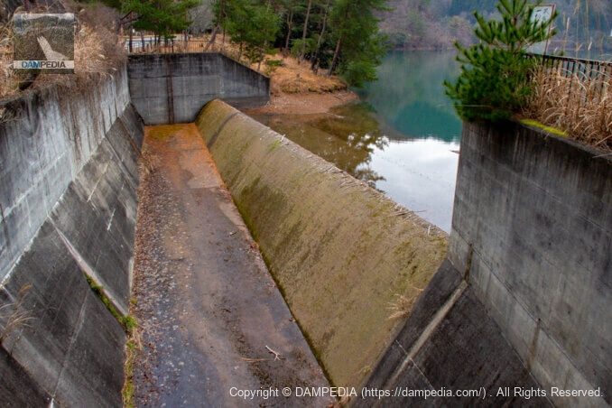
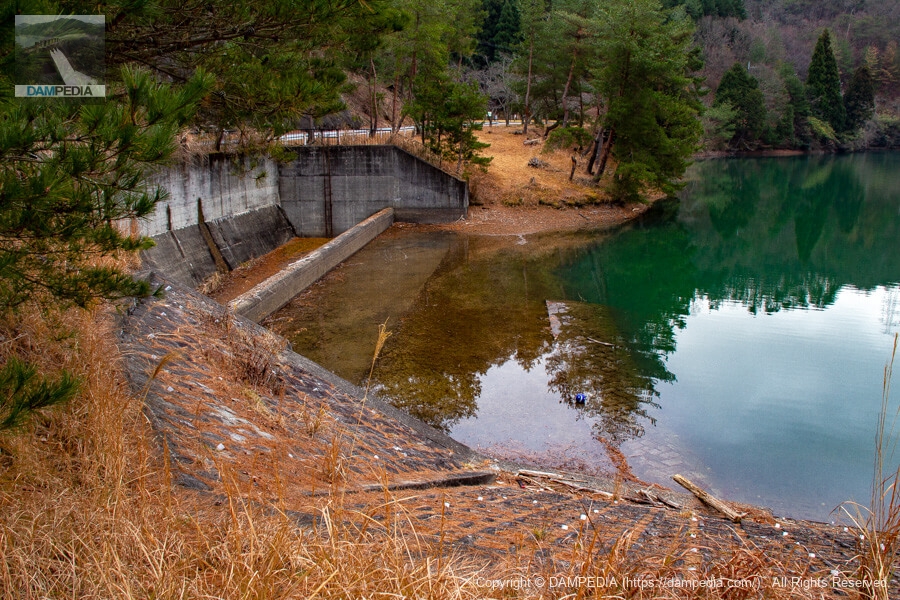
View of the flood discharge from the bridge at the top
The flood discharge is a side channel system of the type often seen in fill dams.
View of the conduit from the bridge at the top end
The conduit clearly shows that it was cut through and built on top of the ground.
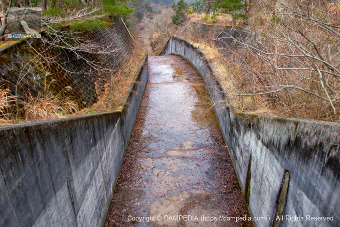
View of the flood discharge from the top
The water level was a little low on this day, probably due to the winter season. As far as I can see there is a small piece of driftwood on the overflow section, it seems that it can overflow.
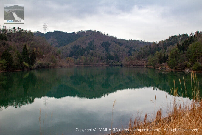
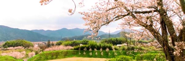
View of the reservoir from the top
Right hand (left bank (of a river)A slant-flume water intake system and a shrine can be seen at (1).
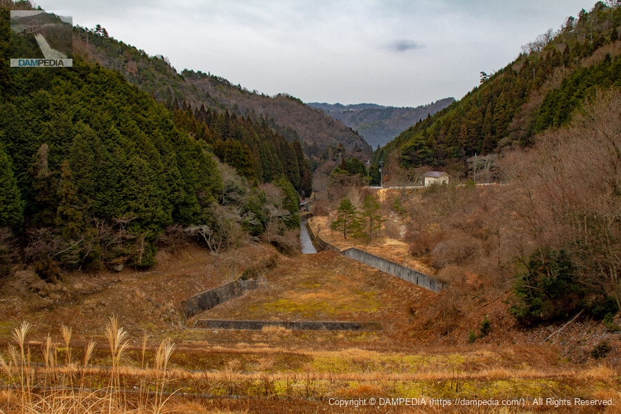
Looking downstream from the top
This river is a left branch of the Mokui River and is named Kawahara River. It joins the Mokui River at this point and then merges with the Sasayama River. It further flows into the Kako River. (In the dam handbook, the Kawahara River is described as the Moyaigawa River.)
water intake facility
This is also the type of intake facility building often seen at earth dams.

Slant-flume intake system
I'm sorry that this photo is difficult to see, but we are aiming at the water intake facility through a gap in the fence.

Looking upstream from the left bank
On the reservoir side, concrete blocks were used to protect the slope.
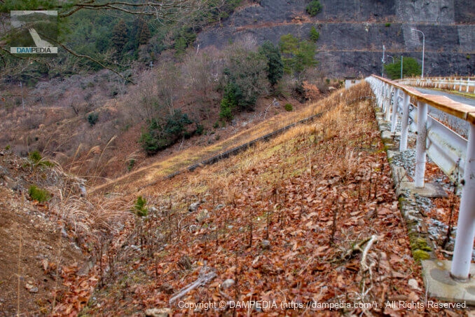
View of the top edge from the left bank
The center of the embankment appears to be rising, but is it excess height?
Looking downstream from the left bank
It is midwinter, so it looks lonely, but I am sure the appearance will change a lot in the fresh green season when the embankment becomes lush and green again.
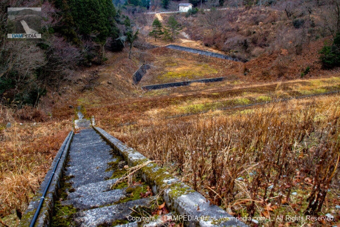
View of the stairway downstream from the top
A stairway to the downstream was in place and did not appear to be restricting access, so we decided to go down.
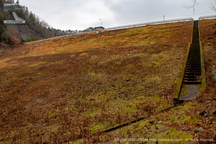
View of the downstream face of the dike
The embankment height is 27.5m, which is on the small side for the size of a dam, but from here it looks large indeed.
Looking downstream
There is what looks like a water tank directly below the dike, is it for temporary storage of water from the dike foot channel to drain water from the drain?
Although we did not visit the Hyogo Prefectural Sasayama Forest Park this time, it might be a good idea to visit the park as a set. In addition, Tamba Sasayama City is dotted with earth dams, gravity concrete dams, and rock-fill dams, so it would be a good idea to visit in combination with these.
Hachimantani Dam Specifications
*Locations refer to the Reservoir Database, river names refer to the Ministry of Land, Infrastructure, Transport and Tourism, and some specifications refer to local signboards.
| Location | 544 Hachimantani, Kawahara, Tanba-Sasayama, Hyogo, Japan |
| River Name | Kakogawa River System Kawahara River |
| Objective | A (irrigation water) |
| Model | E(earth dam) |
| Bank height | 27.5m |
| Bank length | 103m |
| Dam volume | 111,000 m3 |
| Watershed Area | 2.46 km2 |
| Reservoir area | 8.7 ha |
| Total storage capacity | 742,000 m3 |
| Effective water storage capacity | 634,000 m3 |
| Dam operator | Hyogo prefecture (Kinki area) (Hyougo) |
| Main body constructor | Tobishima Construction |
| Year of launch | 1971 |
| Year Completed | 1974 |
| Name of Dam Lake | - |
Width of embankment crest: 7.0m
Design flood volume: 54.5 m3/s
Dam top elevation306.60m
Design flood elevation: 303.60 m
Permanent full water level elevation: 302.70 m
Other facilities/observations
There are no parking lots, restrooms, or parks dedicated to the dam, so you will have to use those of the Hyogo Prefectural Sasayama Forest Park. Boating and fishing are prohibited in the reservoir.
| Parking lot | ○ |
| Toilet | ○ |
| Park | ○ |
| PR Exhibition Hall | × |
| Fishing | × |
Map around Hachimantani Dam
Weather around Hachimantani Dam
Accommodations that may be close to Hachimantani Dam

Comment