
Date of interview: Wednesday, February 18, 2015
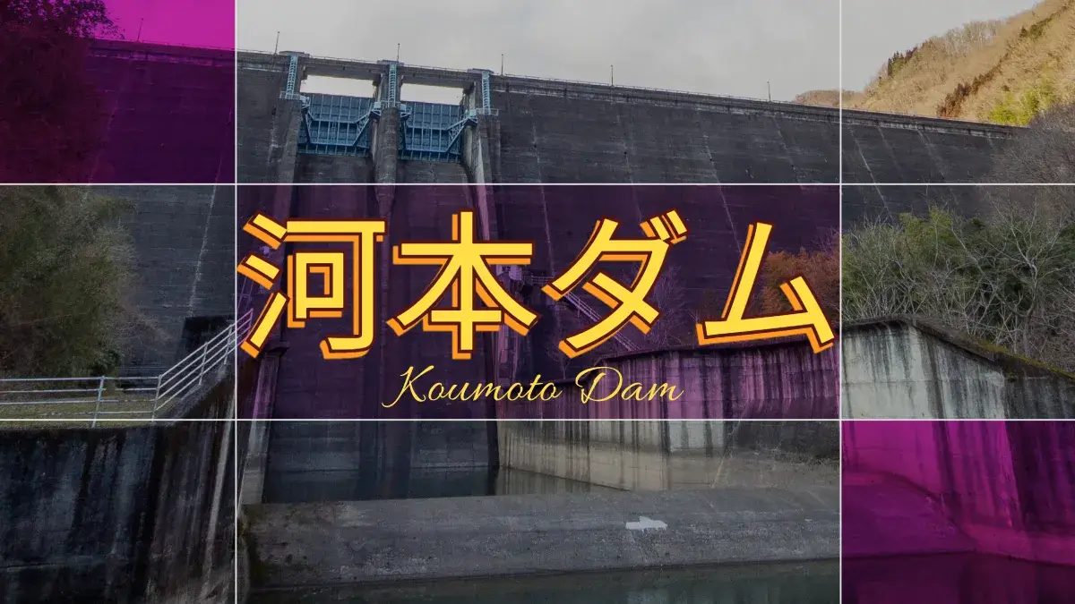
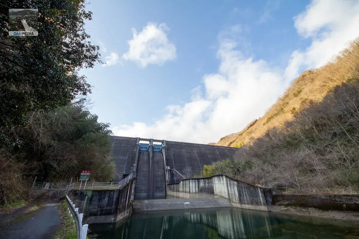
After a thorough tour of the Shin Naruha River Dam and a quick visit to the Tahara Dam, we came to the Kawamoto Dam, which is operated by Okayama Prefecture. Kawamoto Dam is a hollow gravity concrete dam that is used for flood control, power generation, and industrial water supply to the Mizushima Coastal Industrial Zone.
This time, we will be guided by a staff member to visit the site. Unfortunately, however, we were not allowed to visit the hollow section.
left bank (of a river)
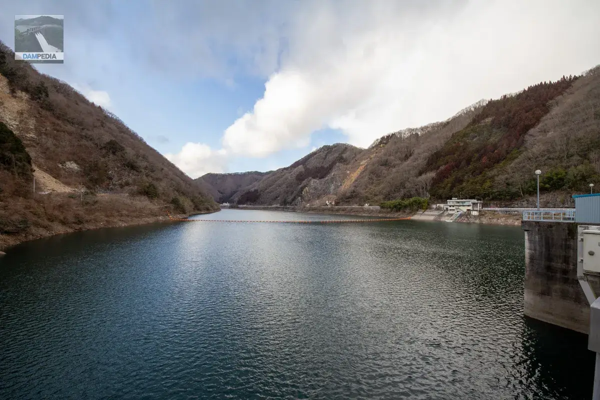
We will start from the left bank. First is the upstream face of the embankment. The top of the octopus leg, which is one of the features of the hollow gravity type, is visible.
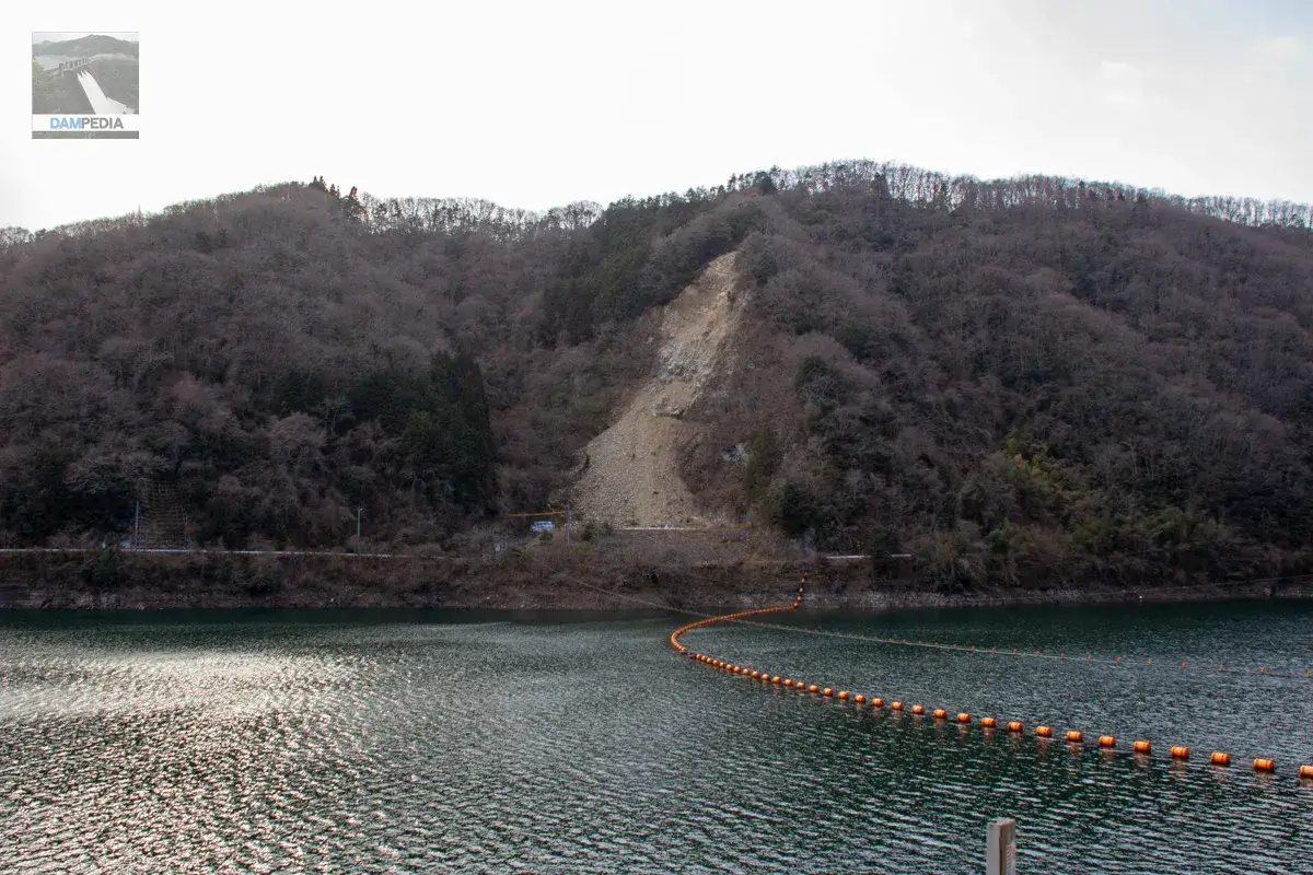
There was evidence of a landslide on the right bank.
Backlighting is pretty tough💦.
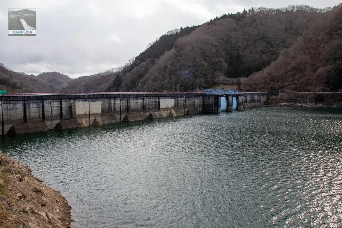
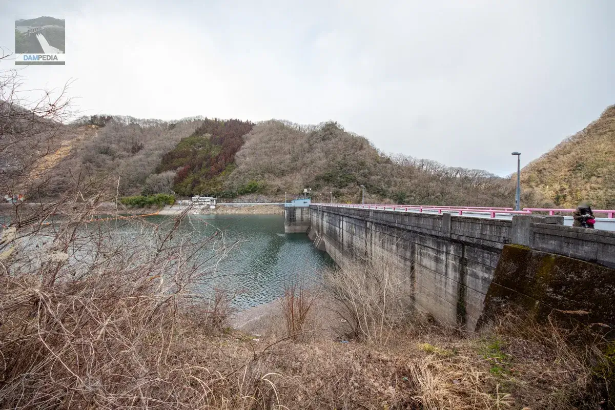
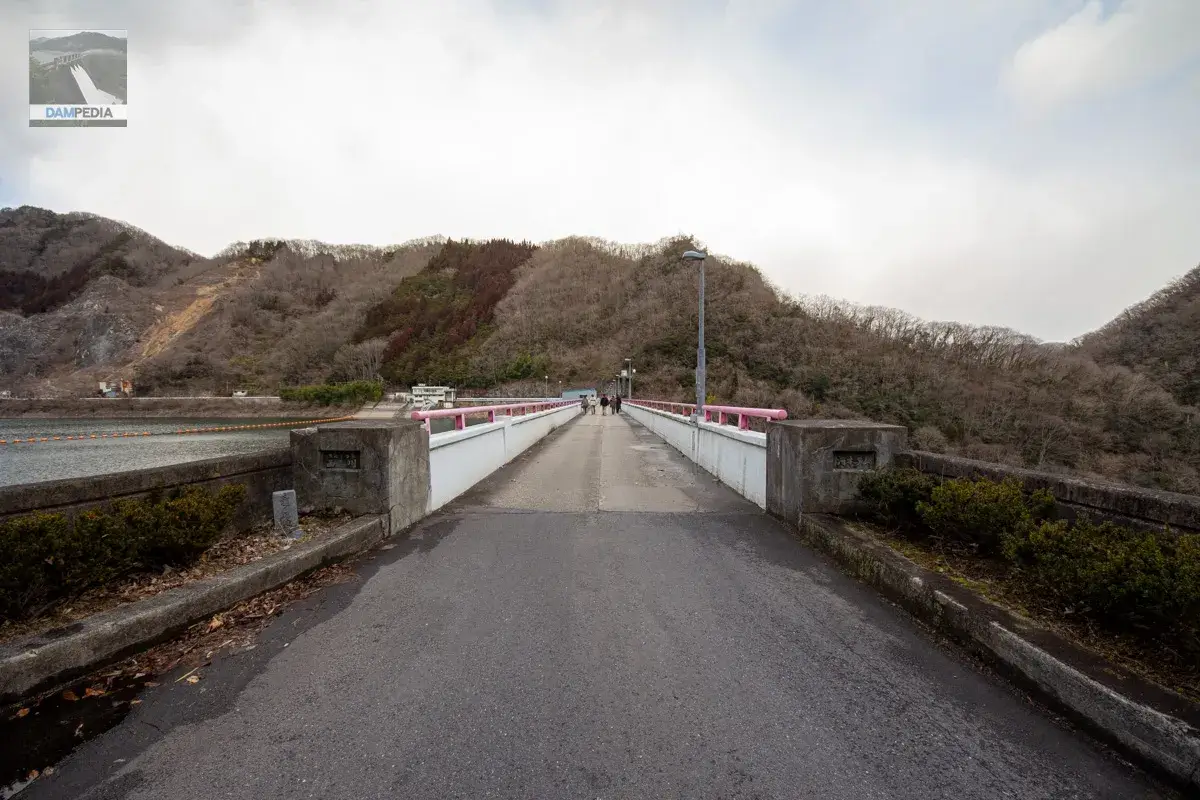
The top railing of Kawamoto Dam is an unusual pink color.
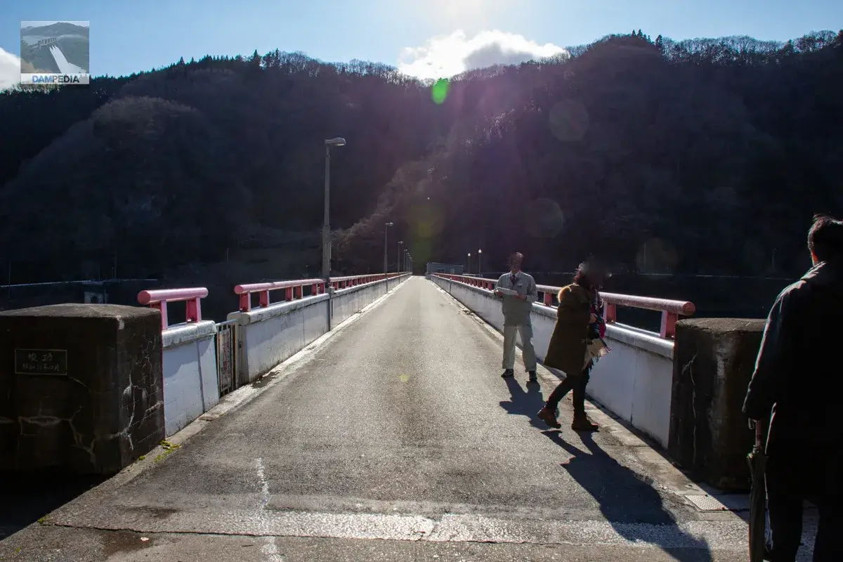
The top end is open to automobile traffic, but the only access across is to the dam management office and, at the far end, the Niimi City waste incineration facility.
There is an antenna at the top of the building, so I think it is a communication facility, but I don't think I heard an explanation... It also looks like the remains of a crane foundation during construction, but I am not sure.
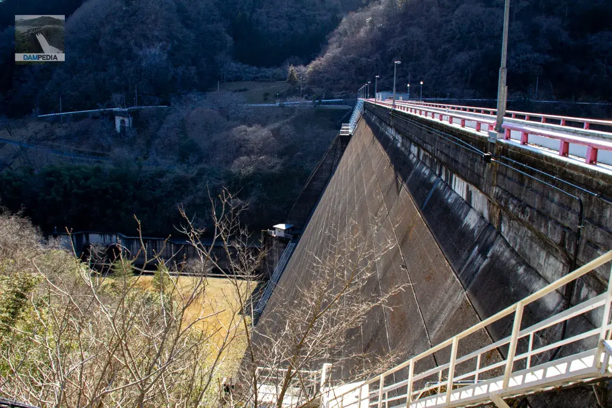
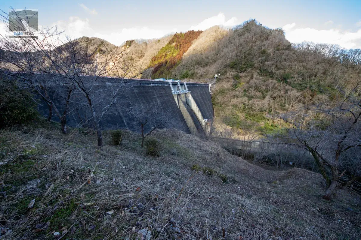
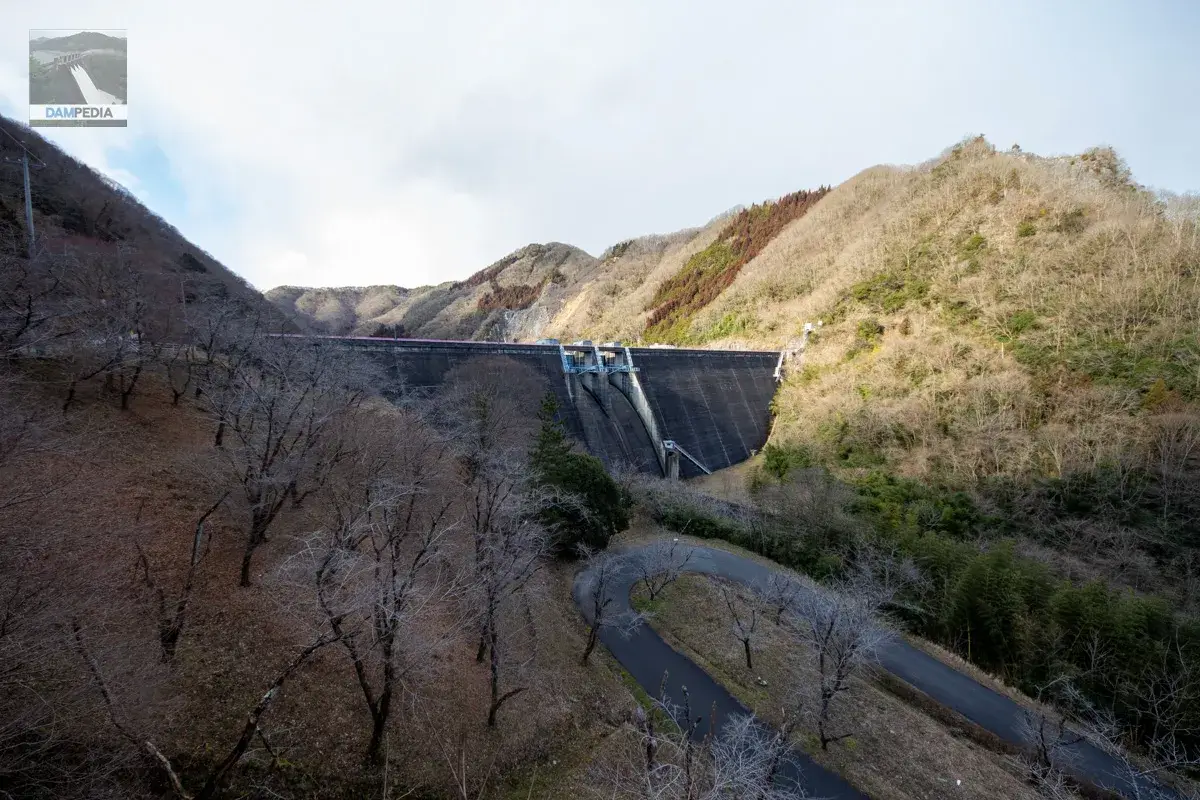
The steeply sloping downstream face is typical of the hollow gravity type.
To the top
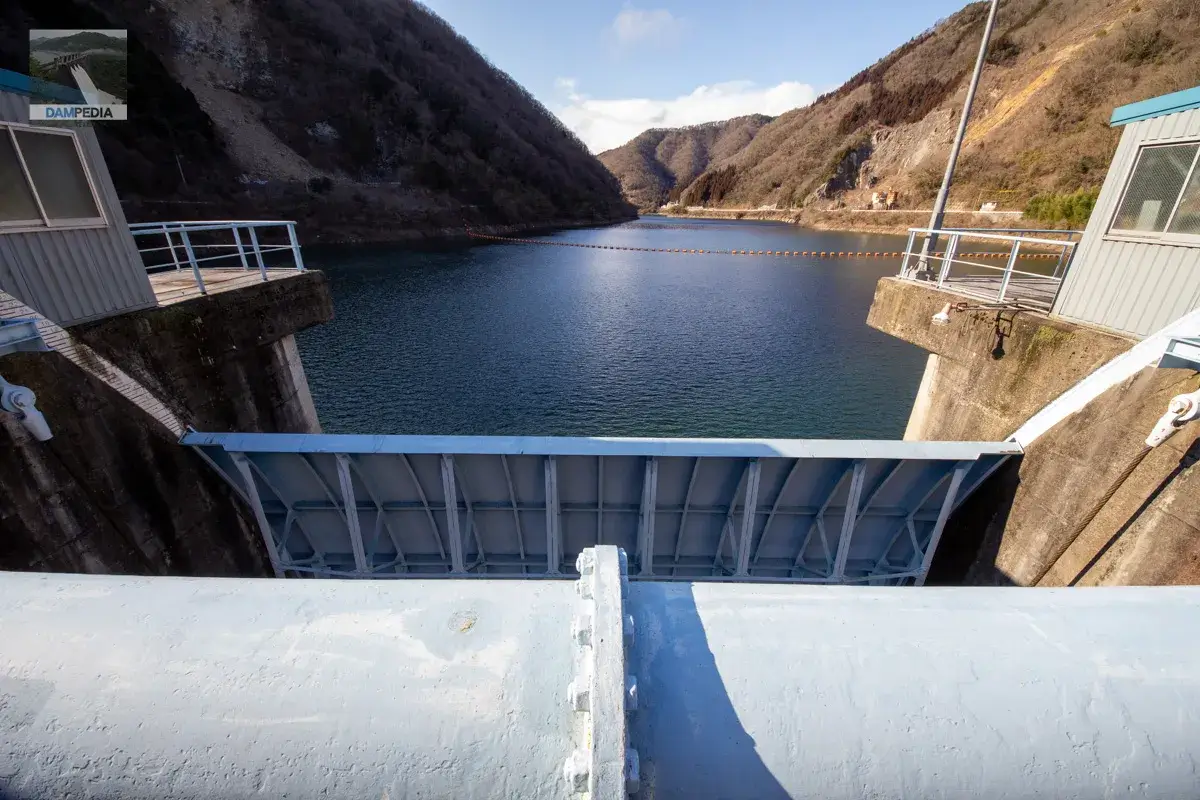
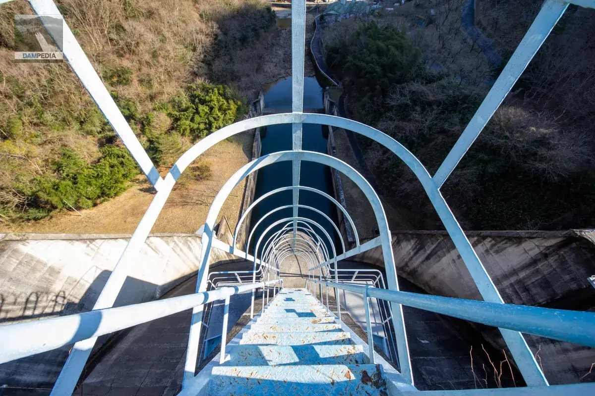
Crossing the top edge. The gate winder room had a slightly unique shape.

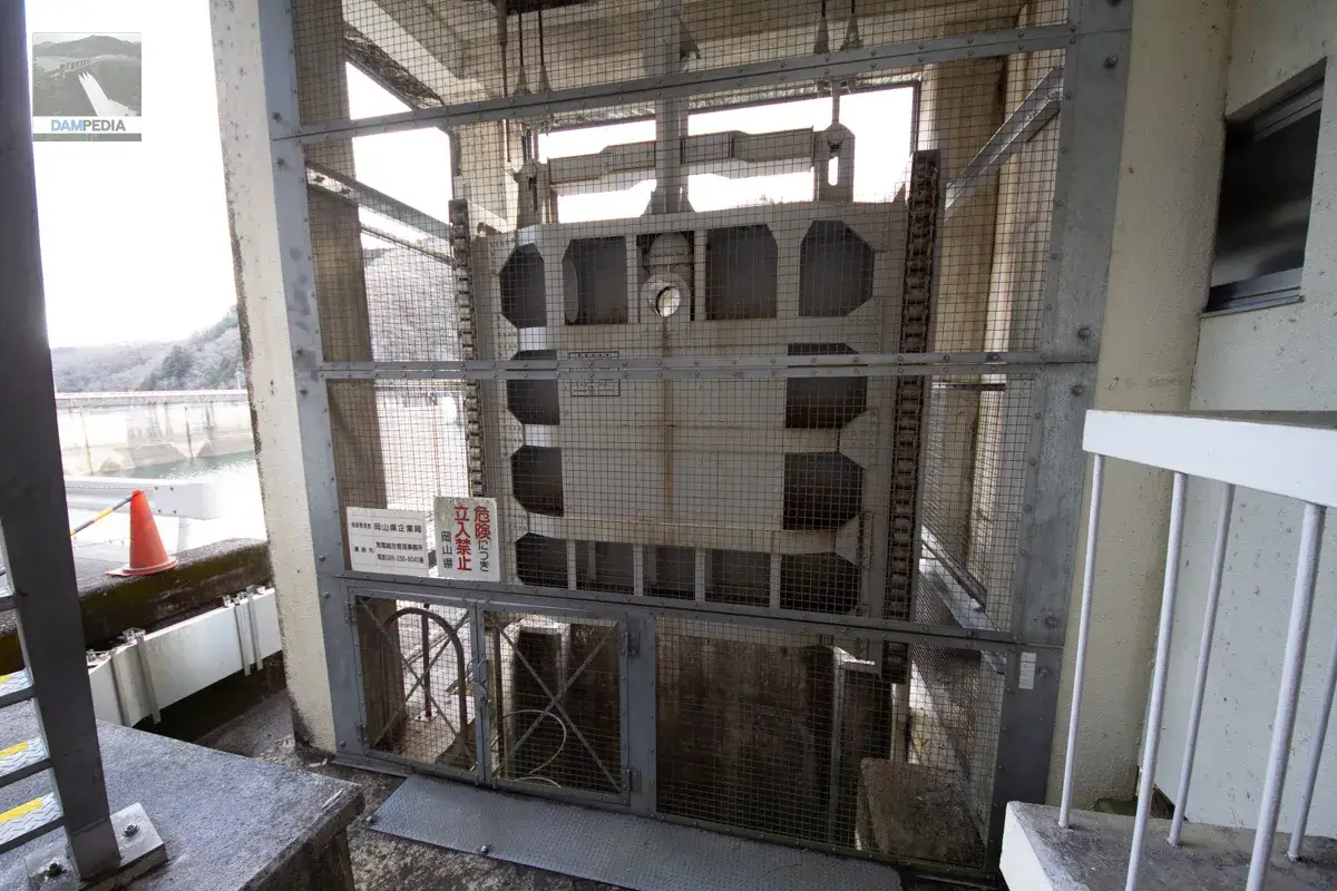
Kawamoto Dam has two crest gates and the specifications are as follows.
| Net Diameter x Door Height | 12.0x10.3m |
| Opening and closing speed | 0.3m/min |
| door weight | 43.8t |
| Date of manufacture | December 1963 |
| production | Ishikawajima-Harima Heavy Industries Co. |
The door body of the crest gate looks much thinner, but on the other hand, the thick shaft gives the impression of rigidity.
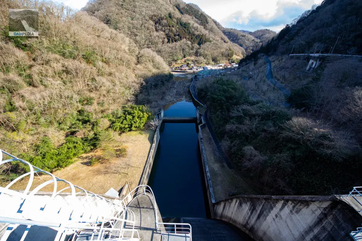
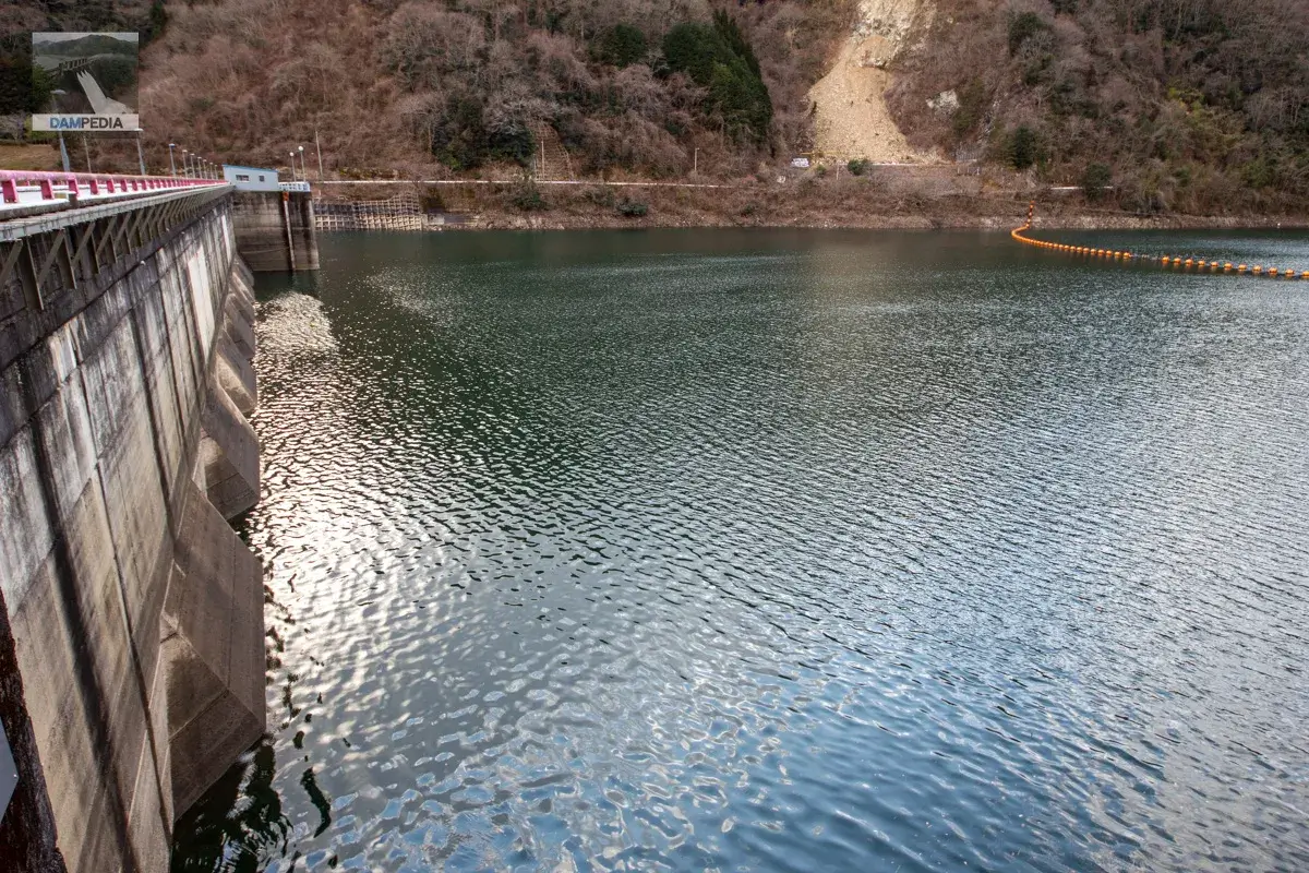
This is a very simple reduction work. You can see that it widens a little around the sub-dam. It may be used to catch the water bounced back by the sub-dam.
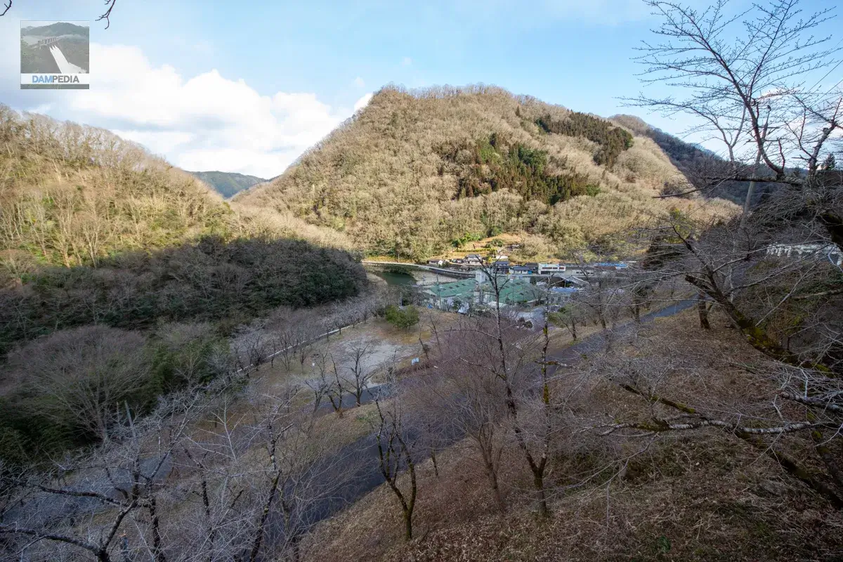
The right bank of the river is dotted with villages, and there is a factory of a company called Sankyo Seiko Co. Ltd. is located on the right bank. It seems that the company manufactures calcium carbonate and cold-water crushed stone. To my surprise, I found that the same company has a factory in the town next to my hometown, which made me feel a little closer to the company.
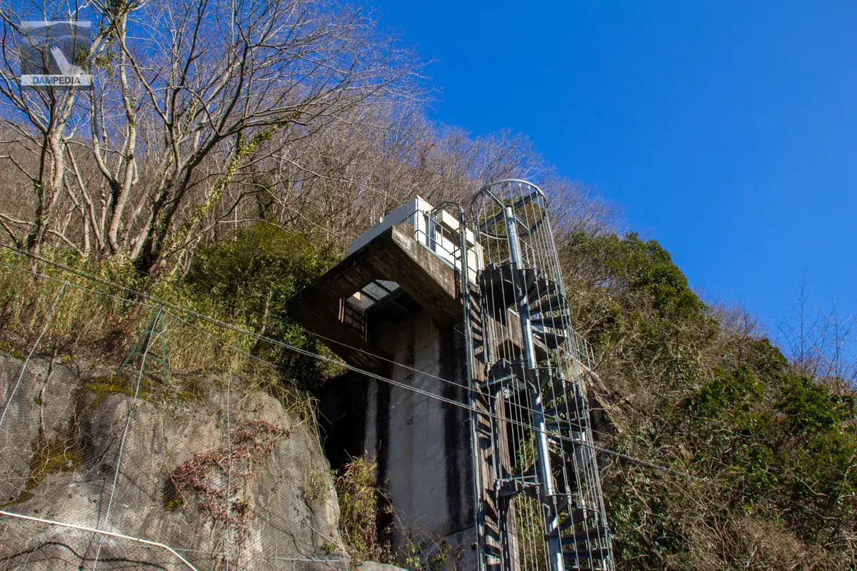
It's a staircase to inspect the crest gate. It is made in consideration of the safety of workers.
Move to the right bank
You can see the remains of grass that has been cut well.
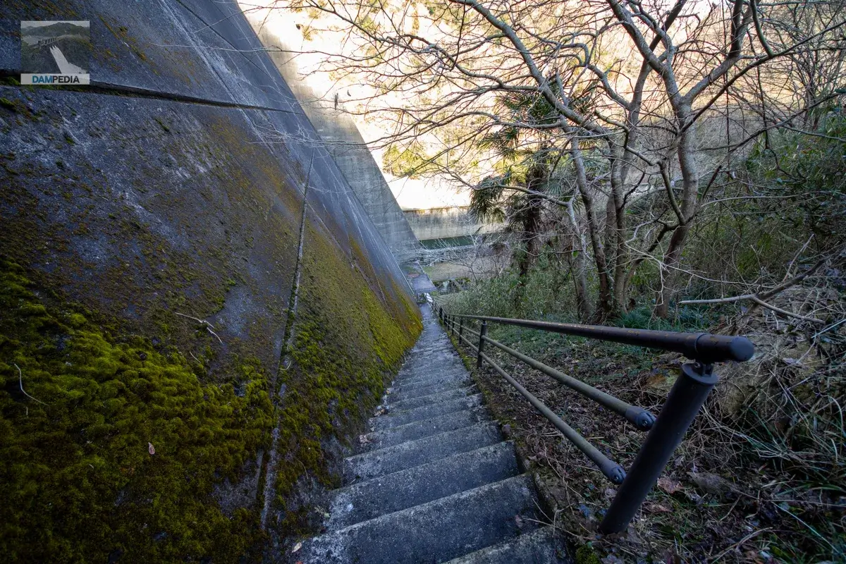
There is a staircase on the right bank from which one can descend directly to the bottom. I believe these stairs were free to ascend and descend. (I have a very hazy memory, so I apologize if I am wrong.)
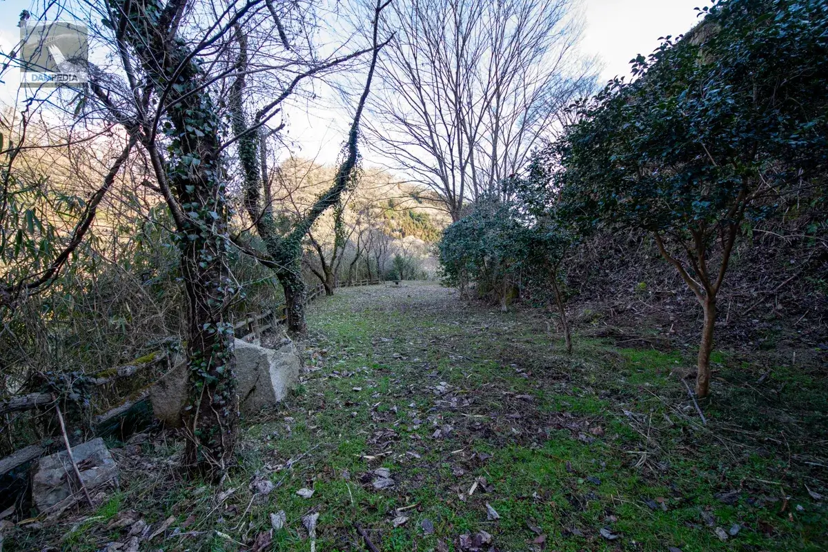
This is because there is a plaza on the right bank. It is open to the public, with tables and benches available.
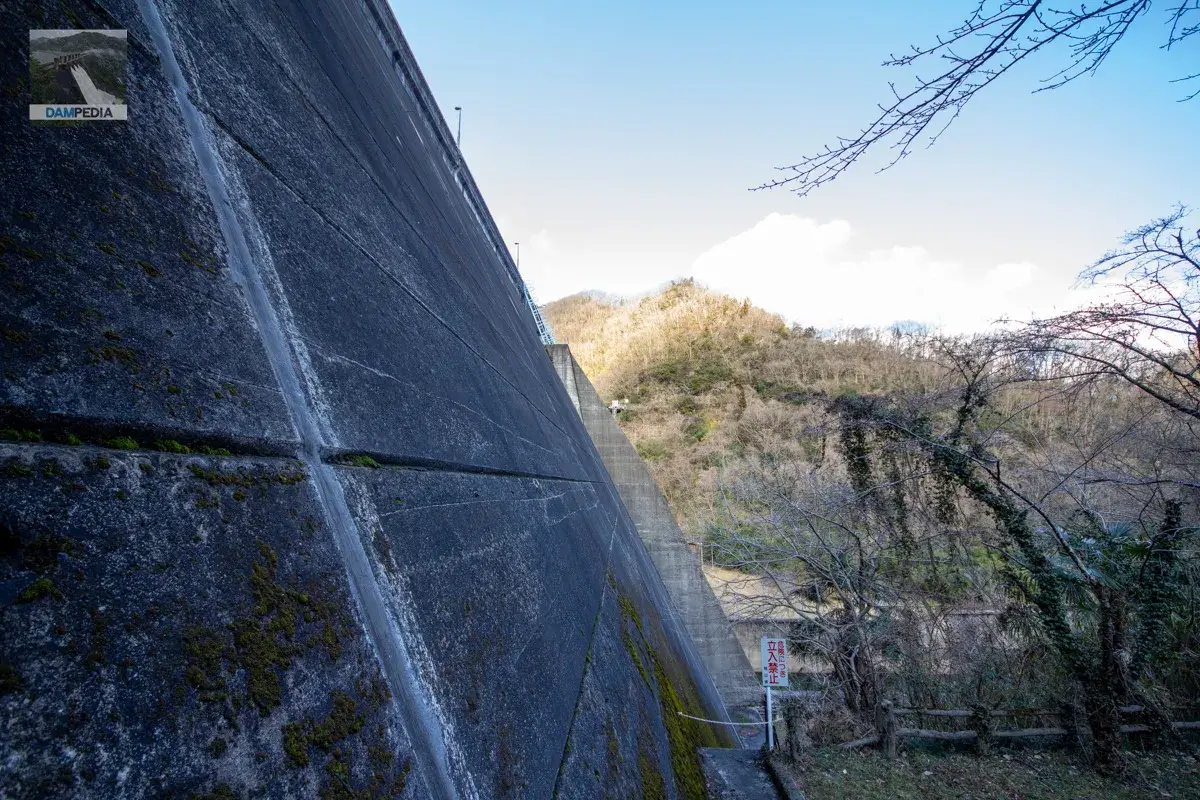
Kawamoto Dam is a hollow gravity concrete dam, but it is strange that it looks like an ordinary gravity dam from here. It may be because of the lens.
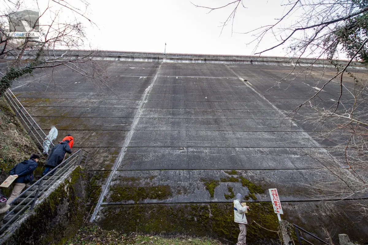
But this steep slope is truly a hollow gravity type. The slope is 1:0.50.
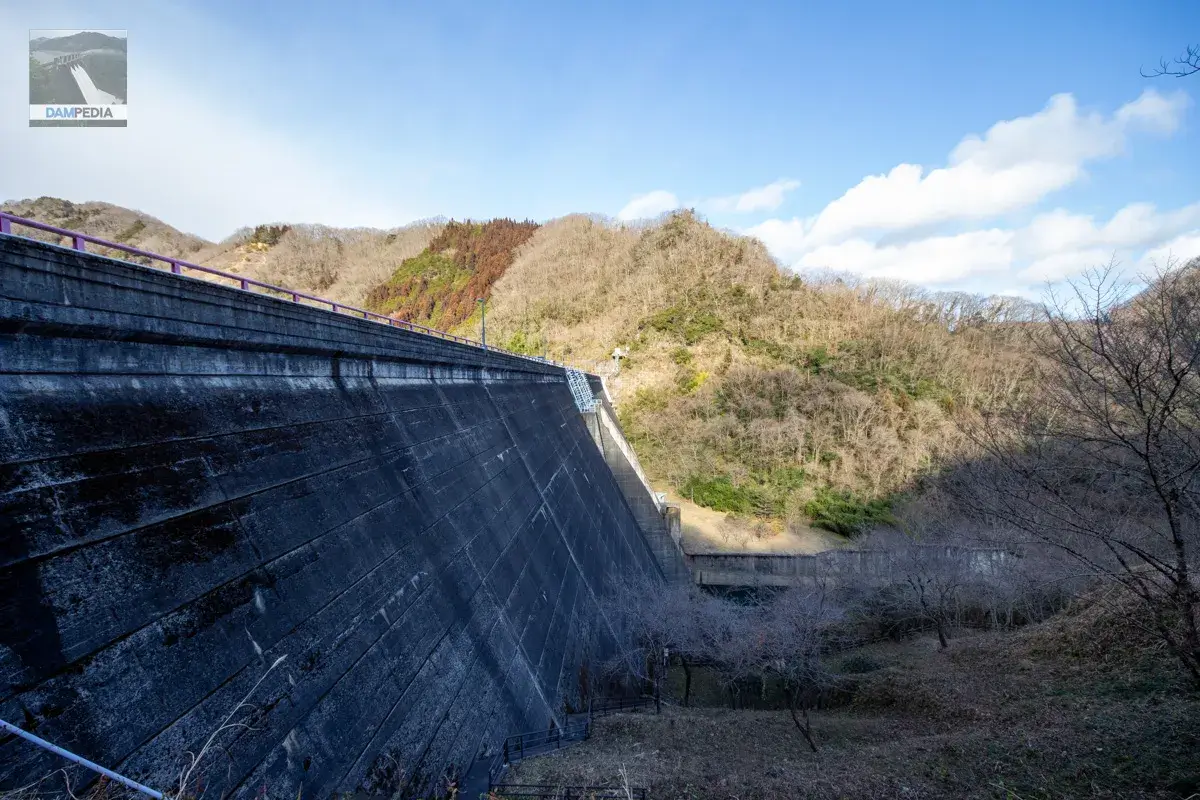
It is completely in shadow and darkened, but it is a shapely embankment. Perhaps because there are few structures on the top edge, it looks simpler.
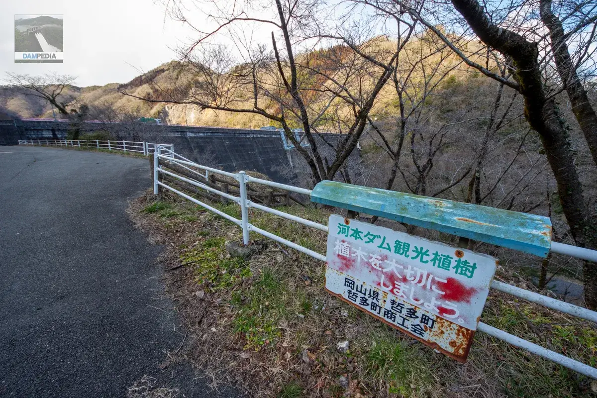
Cherry trees are planted around the levee, and it seems that the local people planted them for sightseeing. Incidentally, Tetta-cho merged with Niimi City and retains its name as "Tetta-cho, Niimi City.
I would like to visit during the cherry blossom season. Come to think of it, the pink color of the top rail seems to be inspired by cherry blossoms.
If the cherry blossoms were in full bloom, it would be beautiful.
The upstream face appears to be vertical with no slope above the octopus foot, but the vertical is only visible at the top; the submerged area is 1:0.50, so the cross section of the dike viewed from the side is a nice isosceles triangle.
Thirteen years after the Kawamoto Dam was completed, an environmental improvement project around the dam was undertaken, focusing on vegetation, land preparation, and greening, and toilets and benches were also installed.
This area used to be called "Bandit Valley. It seems to have been named after one bandit who robbed travelers passing along the Nishigawa River of their money and goods during the Kyoho period. (For more information, see the local sign)
Back to the left bank.
We are back on the left bank again. The octopus legs are a characteristic of hollow gravity concrete dams. Only the top is visible due to the high water level, but it is interesting.
There is an intake facility on the left bank that sends water to the management office and Niimi Power Plant.
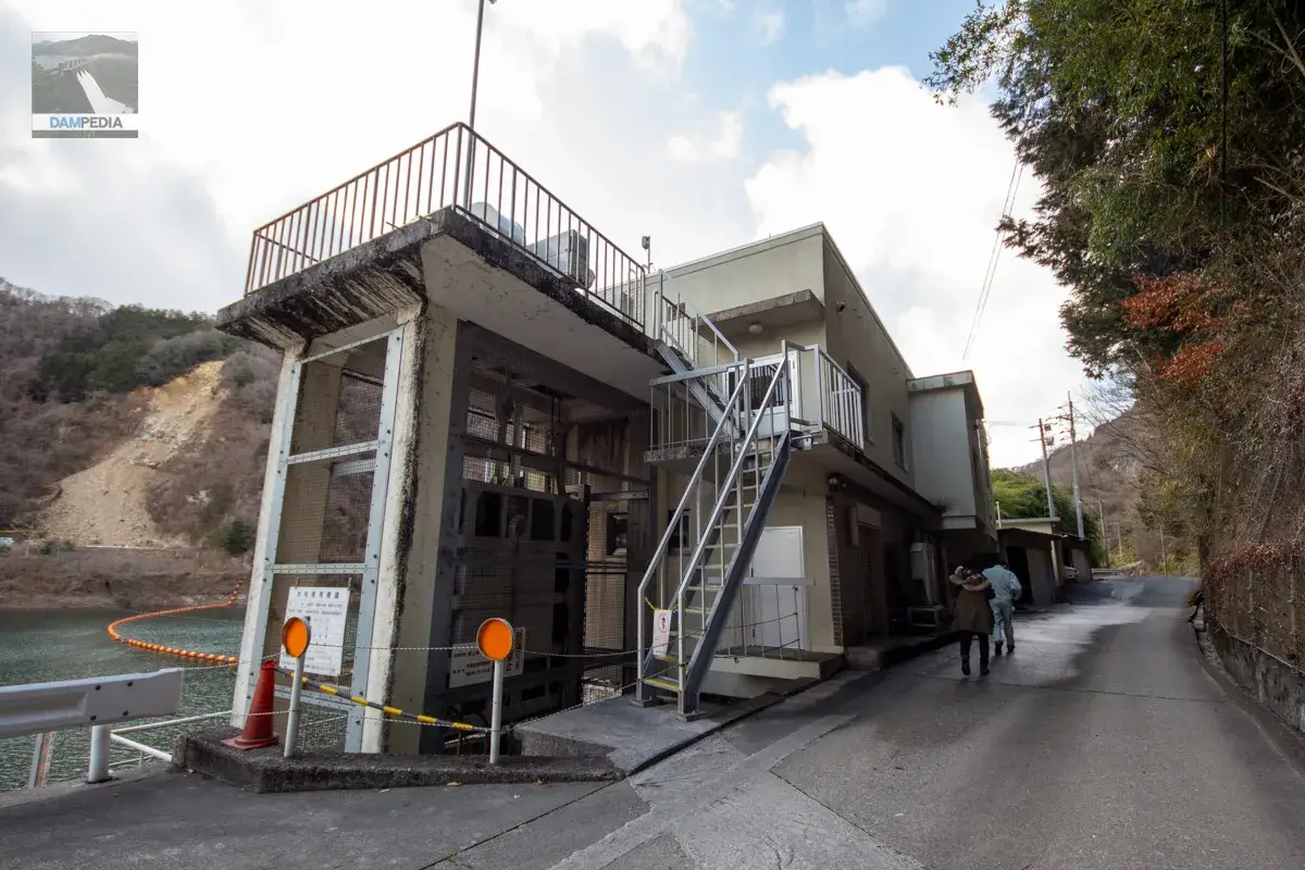
Niimi Power Plant has a maximum water intake of 24.0 m3/s, a constant water consumption of 5.5 m3/s, a maximum output of 10,900 KW, and a constant output of 1,200 KW.
Downstream
We thanked the staff member who guided us to the control center and left. We all moved to a position where we could see the downstream face of the dike. The color of the crest gate and the sky match each other very well. Also, it looks more like a hollow gravity concrete dam from here.
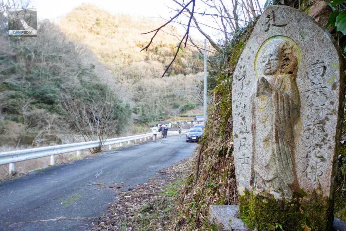
A Jizo statue stood guard over the dam at a spot where the downstream face of the embankment could be seen. It may have been watching over various dam enthusiasts up to now. We then headed back to the next dam.
Kawamoto Dam Specifications
| Location | Kanaya, Niimi City, Okayama Prefecture |
| River Name | Takahashi River System Nishigawa |
| Objective | F (flood control, agricultural disaster prevention) I (industrial water) P(Power generation) |
| Model | HG(Hollow Gravity Concrete Dam) |
| Bank height | 60m |
| Bank length | 258.6m |
| Dam volume | 216,000 m3 |
| Watershed Area | 332.5 km2 (direct: 225.5 km2, indirect: 107 km2) |
| Reservoir area | 80 ha |
| Total storage capacity | 17,350,000 m3 |
| Effective water storage capacity | 11,100,000 m3 |
| Dam operator | Okayama prefecture (Chuugoku area) |
| Main body constructor | foundation |
| Year of launch | 1958 |
| Year Completed | 1964 |
| Name of Dam Lake | - |
Other facilities/observations
| Parking lot | Fat. |
| Toilet | Fat. |
| Park | Fat. |
| PR Exhibition Hall | × |
| Fishing | Fat (fishing ticket required) |
| Viewing platform | × |
Map around Kawamoto Dam
Weather around Kawamoto Dam
Accommodations that may be close to Kawamoto Dam


Comment