
Date of interview: Wednesday, November 19, 2014
On this day, I visited Nasu Shiobara in Tochigi Prefecture for the first time in four years. The last time I visited Nasu Shiobara, I took the Shinkansen bullet train to participate in a tour of the Yashio Dam and the Snakeo River Dam, but I felt it was a waste of a long trip, so this time I drove by car and stopped by the Shiobara Dam before my main destination.
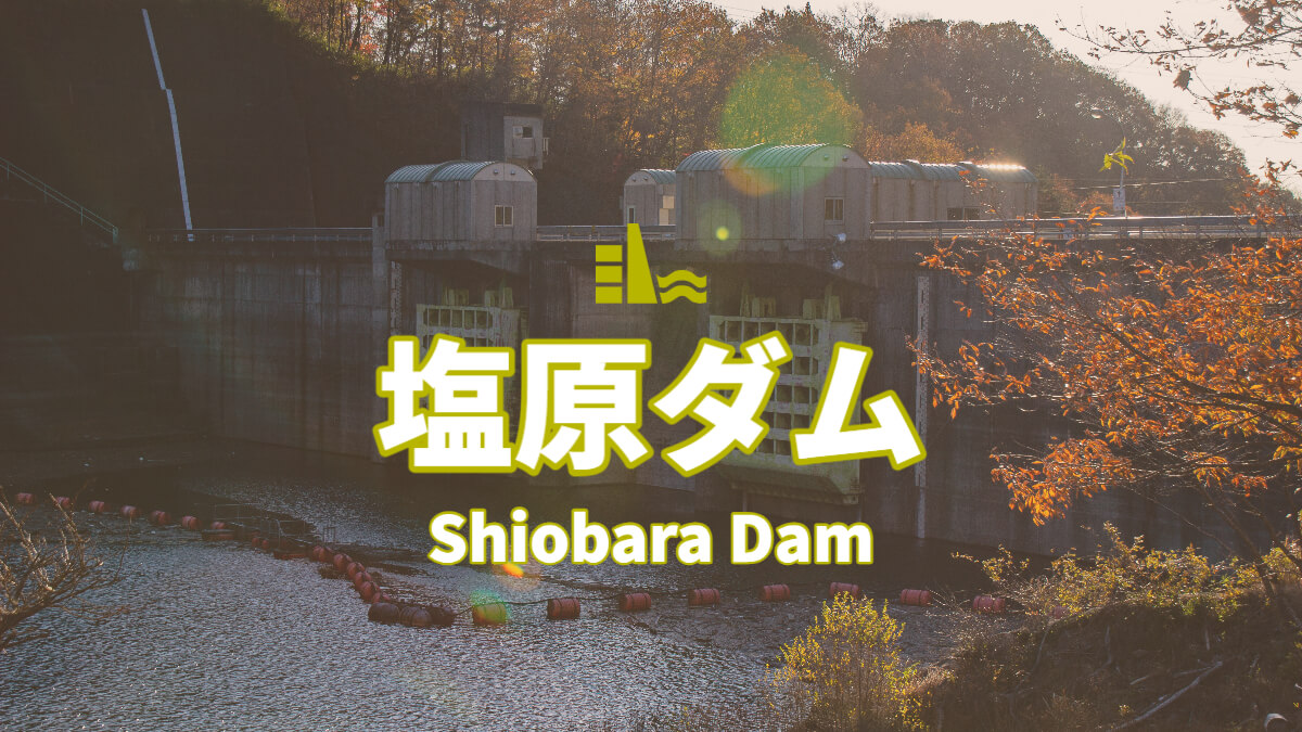
Shiobara Dam is a Tochigi Prefecture-owned gravity concrete dam constructed on the Broomstick River in the Naka River system. The Shiobara Dam is a gravity concrete dam constructed on the Broomstick River in the Naka River system. It plays a role in making flood control of the Broomstick River more robust and supplying specific water to the Shiona Plateau area of the National Agricultural Land Development Project, in addition to water for existing use.
View of the top edge from the right bank
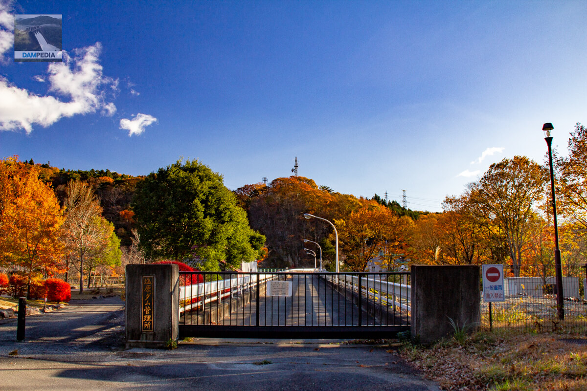
The time was a little after 7 am. It was a beautiful day and the high season for autumn leaves. However, the gate was tightly closed.
It was 9:00...
As usual, we visited the dam without having done any preliminary research, so we were not able to enter the top of the dam, but we had plans at another dam from 9:00 a.m., so we could not wait until then. At this point, we decided to return.

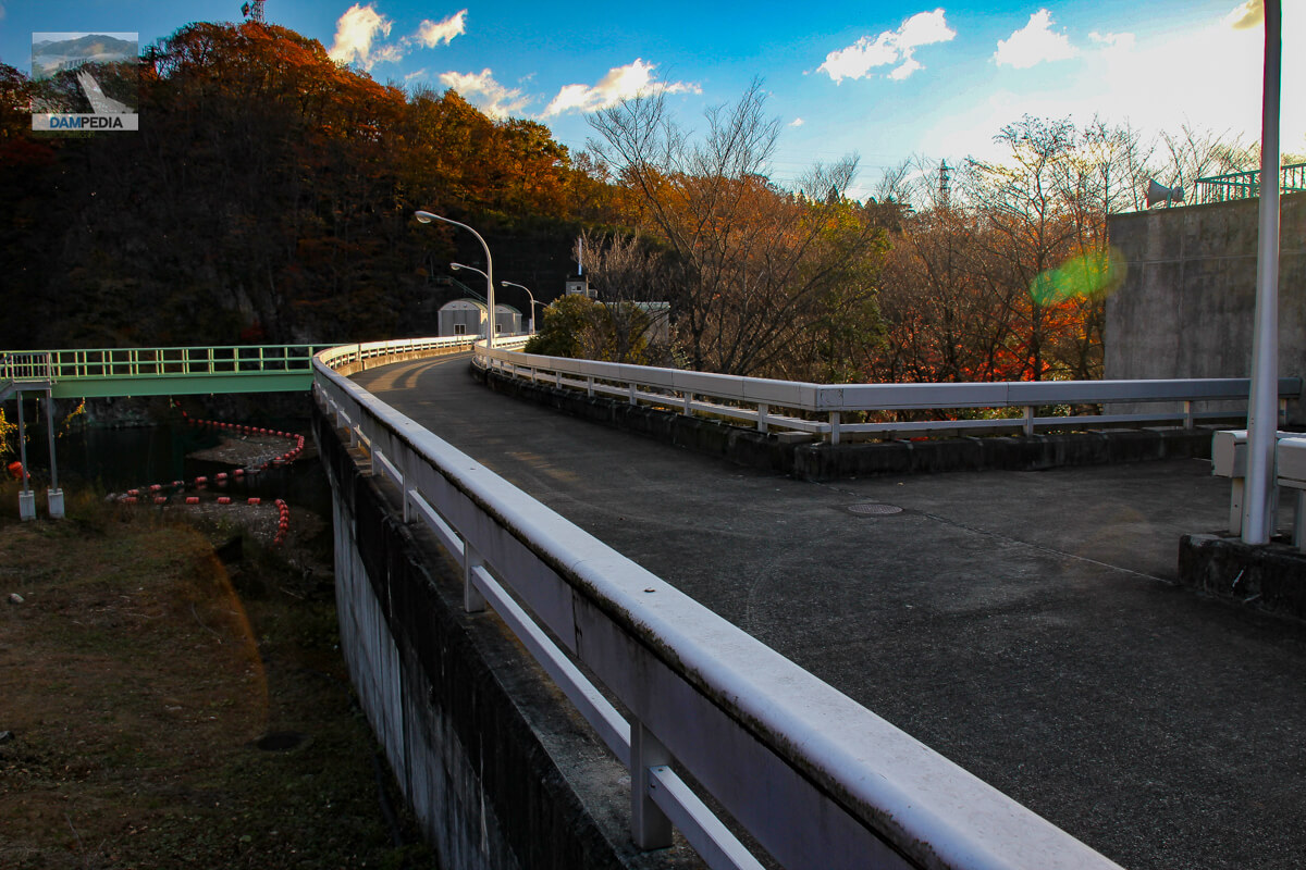
View of the top edge from the right bank reservoir side
There is a slope on the reservoir side, from which the top edge can be seen, so I managed to get a shot. In the foreground is also a part of the dike, but you can see the curve from the middle of the dike.
View of the upstream face of the embankment and the boatyard from the right bank
The morning sun backlit the image, making the shooting conditions quite difficult. The red-and-white board in the lower left corner is supposed to indicate the water level, which is always full.
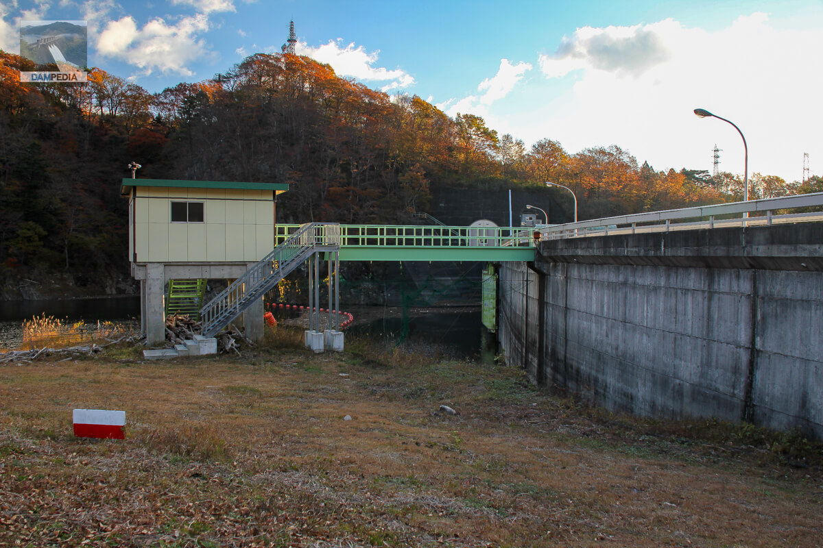
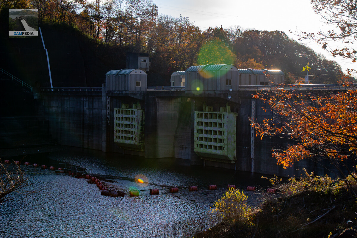
Boathouse, Incline and upstream face of the dike
The spare conduit gate and the incline are all light green. The gate operation room is also a bit cute with a vaulted roof.

upstream face of embankment
The Shiobara Dam has two 3.9 x 3.9 m high-pressure radial conduit gates as the main discharge facilities on the left and right sides, and a 14.75 x 11.10 m radial gate as the flood discharge in the center.
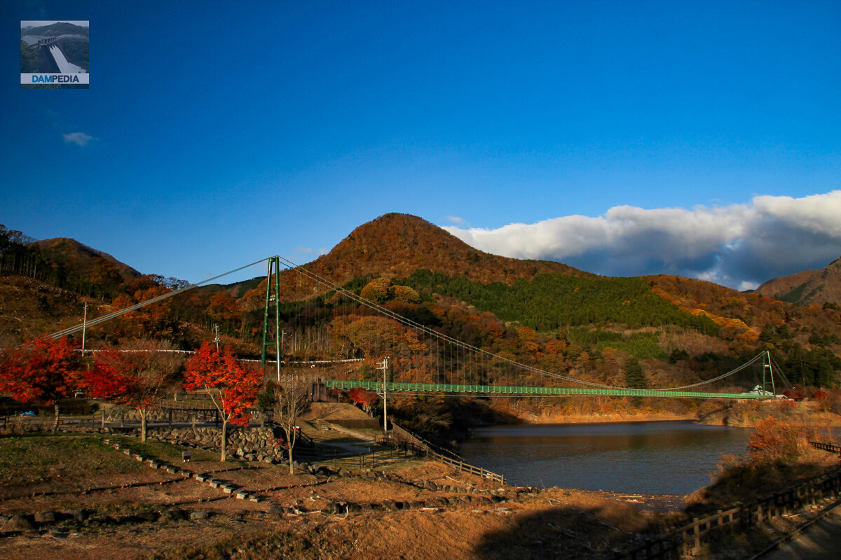
Dam Park, Maple Valley Suspension Bridge and Dam Lake
There is a park on the upstream side of the right bank, and a suspension bridge called Momijidani Suspension Bridge is built across the river from the park. The suspension bridge is 320 meters long, and is said to be one of the longest non-reinforced girder pedestrian suspension bridges in Honshu.
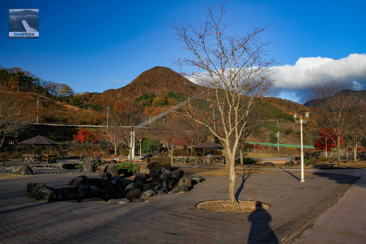
Shiobara Dam Park
The park is dotted with pavilions.
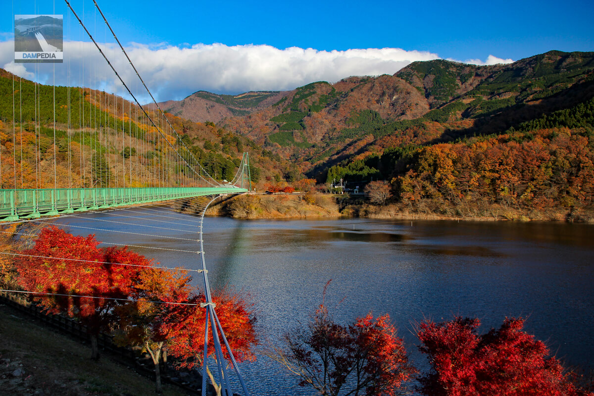
Maple Valley Suspension Bridge
A fee is required to cross the suspension bridge. There were no tourists on this day, probably because it was early morning on a weekday, but it was the high season for autumn leaves, so it might have been crowded in the daytime.
Although we could not enter the top end of the dam and had to revisit, it was a Shiobara dam that seemed to offer a seasonal view.
Shiobara Dam Specifications
| Location | Nishiyama, Oaza-Kanazawa, Nasushiobara-shi, Tochigi |
| River Name | Naka River system Broomstick River |
| Objective | F (flood control, agricultural disaster prevention) N (unspecified water, water for river maintenance) A (irrigation water) |
| Model | G(gravity-fed concrete dam) |
| Bank height | 60m |
| Bank length | 240m |
| Dam volume | 115,000 m3 |
| Watershed Area | 119.5 km2 |
| Reservoir area | 41ha |
| Total storage capacity | 8,760,000 m3 |
| Effective water storage capacity | 5,760,000 m3 |
| Dam operator | Tochigi prefecture (Kantou area) |
| Main body constructor | Kajima Corporation, Fujita Corporation |
| Year of launch | 1969. |
| Year Completed | 1978 |
| Name of Dam Lake | - |
Other facilities/observations
| Parking lot | ○ |
| Toilet | ○ |
| Park | ○ |
| PR Exhibition Hall | × |
| Fishing | × |
| Viewing platform | × |
Map around Shiobara Dam
Weather around Shiobara Dam
Accommodations that may be close to Shiobara Dam
Comment