
Date of interview: Saturday, March 10, 2012
Location: Kadokawa, Imazu-cho, Takashima City, Shiga Prefecture
I stopped by on my way back from visiting the Otsuro Dam test discharge, but it was too late in the evening and there was so much snow that I could not get close to the embankment.
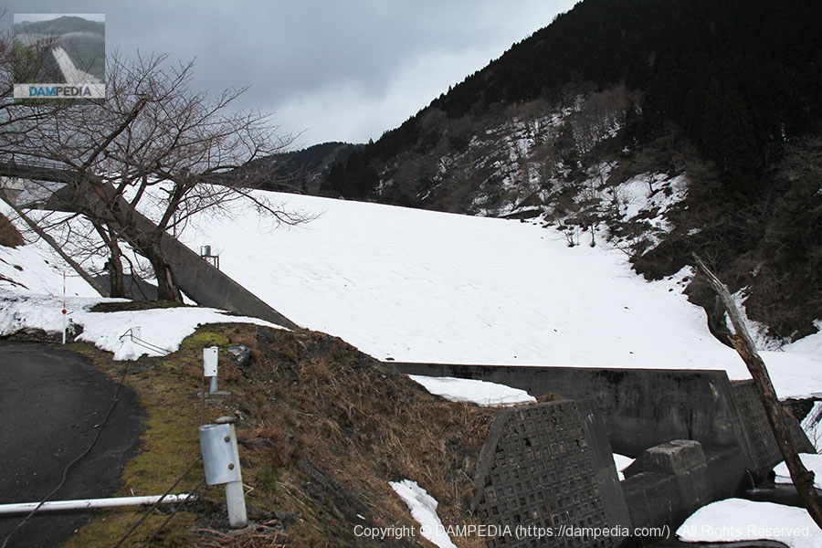
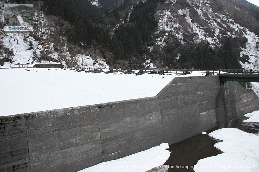
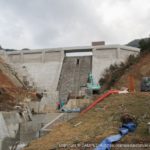
View of the levee downstream from the right bank
I was told that I could casually approach the downstream reduction works (though it involves only self-responsibility), but I decided not to do so because the snow looked deep indeed. By the way, the embankment is covered with white, but it is a rock-fill dam. Looking at the photos taken when there is no snow, it seems to be a very rough rockfill dam.
View of the reduction work from the right bank
As expected, this does not allow us to get close.

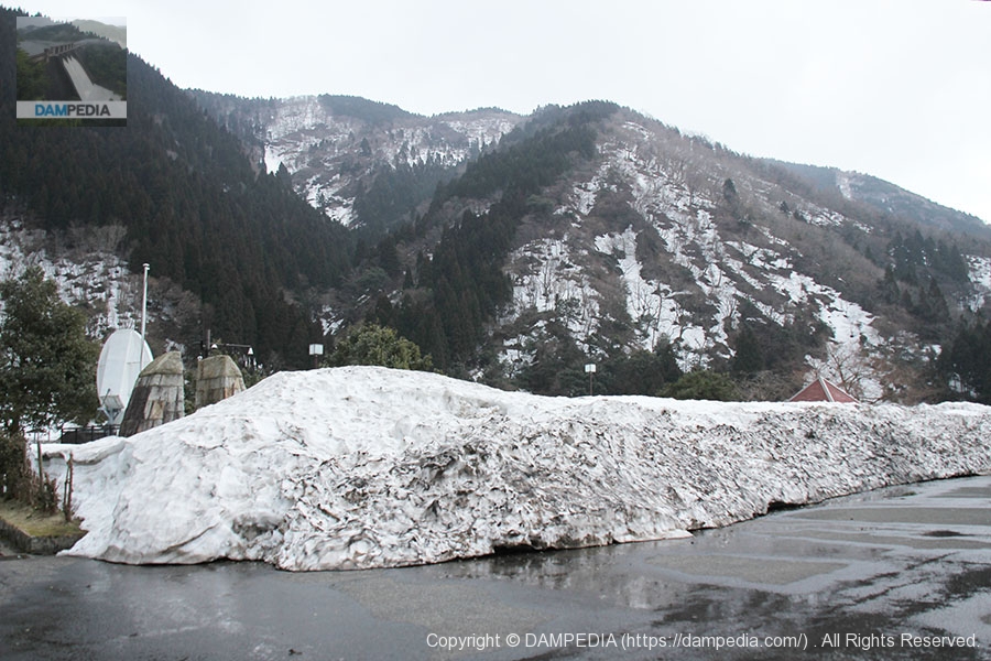
Stone monuments, gate piers and parabolic antennas in the parking lot on the right bank.
We reached the top level, but were astonished to find that we could not even enter the top level, let alone the other side of the river, due to the high piles of snow.

Snow piled up in the parking lot on the right bank
The road to the top edge was closed as it appeared to be a snow dump.
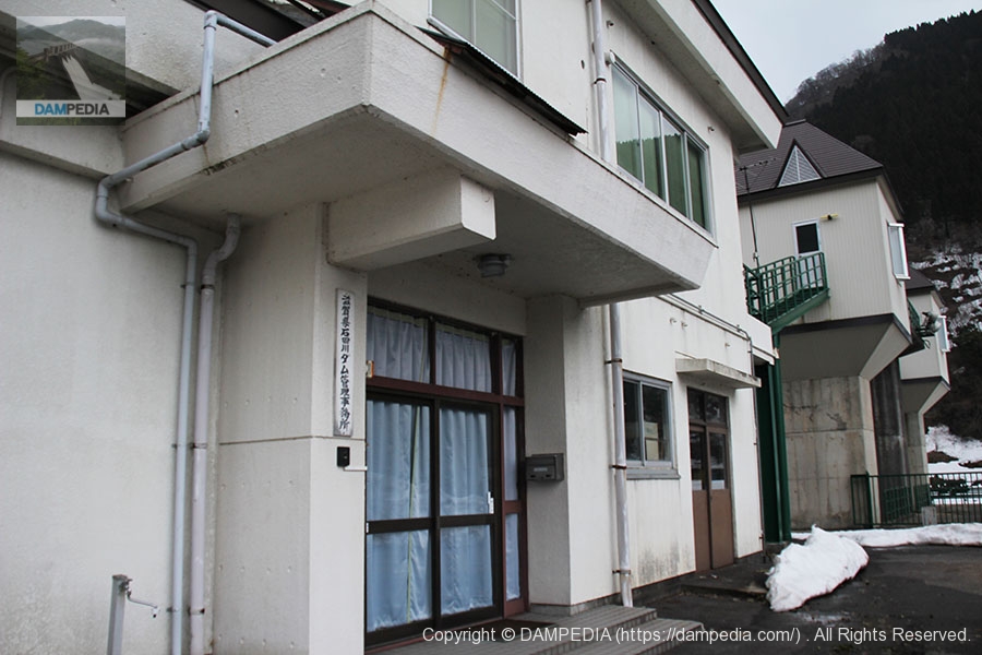
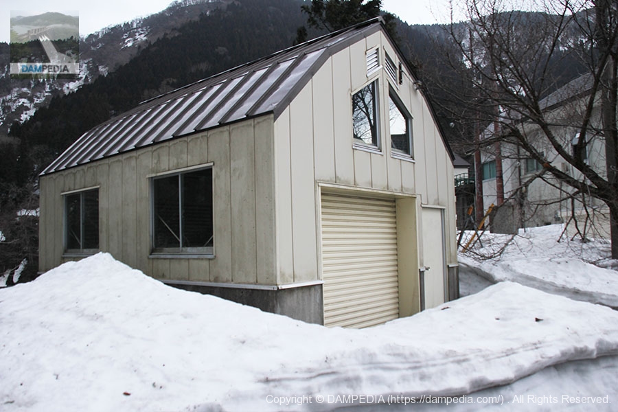
Shiga Prefecture Ishida River Dam Management Office and Gate Pier
Naturally, the administration office is unmanned. It is usually a drunken act to visit in the evening at this time of the year.
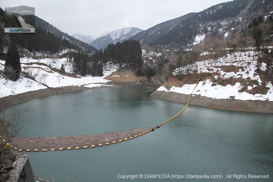
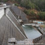
View of the dam lake from the control center
The water level seems low, but I am sure it will fill up with melting snow in early spring.
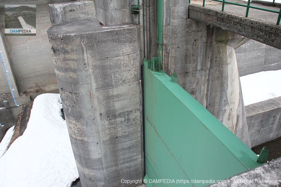
crest gate
The photo shows the front side of the gate on the dam lake side. It is not easy to photograph, and the photo is inevitably difficult to recognize.
Looking downstream from near the crest gate
The unique part of the Ishida River Dam is the misalignment of the gate and the top end. Most rockfill dams integrate the bridge across the top with the gate structure, but for some reason this dam has two separate structures.

View of the embankment on the lake side of the dam from near the crest gate
The foreground appears to be the downstream face (or maybe it doesn't look like a dam to begin with), but it is the embankment on the lake side of the dam.
View of the boatyard
It says "boatyard" but I'm a little hazy. I am sorry if I am wrong.
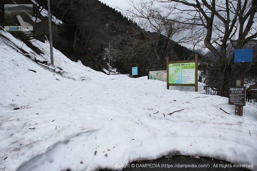
Road to Awamaike Pond
According to the map, we should be able to reach Awami Pond, an earth dam, from here, but as you can see, there is no way to reach it. Even after the winter is over, it seems that there are still many falling rocks.
I have not been able to properly visit either Awakaike Pond or the Ishida River Dam this time, so I will have to revisit them at some point in the future. I am quite indigestion, but I will definitely revisit them someday.
Ishida River Dam Specifications
| River Name | Ishida River, Yodo River system |
| Objective | F (flood control, agricultural disaster prevention) N (unspecified water, water for river maintenance) |
| Model | R (Rock-fill dam) |
| Bank height | 43.5m |
| Bank length | 140.1m |
| Dam volume | 268,000m3 |
| Watershed Area | 23.4km2 |
| Reservoir area | 16 ha |
| Total storage capacity | 2,710,000m3 |
| Effective water storage capacity | 2,310,000m3 |
| Dam operator | Shiga prefecture (Kinki area) |
| Main body constructor | Kumagai Gumi |
| Year of launch | 1962 |
| Year Completed | 1969. |
| Name of Dam Lake | - |
Map of Ishida River Dam
Other facilities/observations
| Parking lot | Fat. |
| Toilet | △ (closed in winter) |
| Park | × |
| PR Exhibition Hall | × |
| Fishing | ? |
Accommodations that may be close to Ishida River Dam
Comment