
Date of interview: Saturday, 1/4/2014
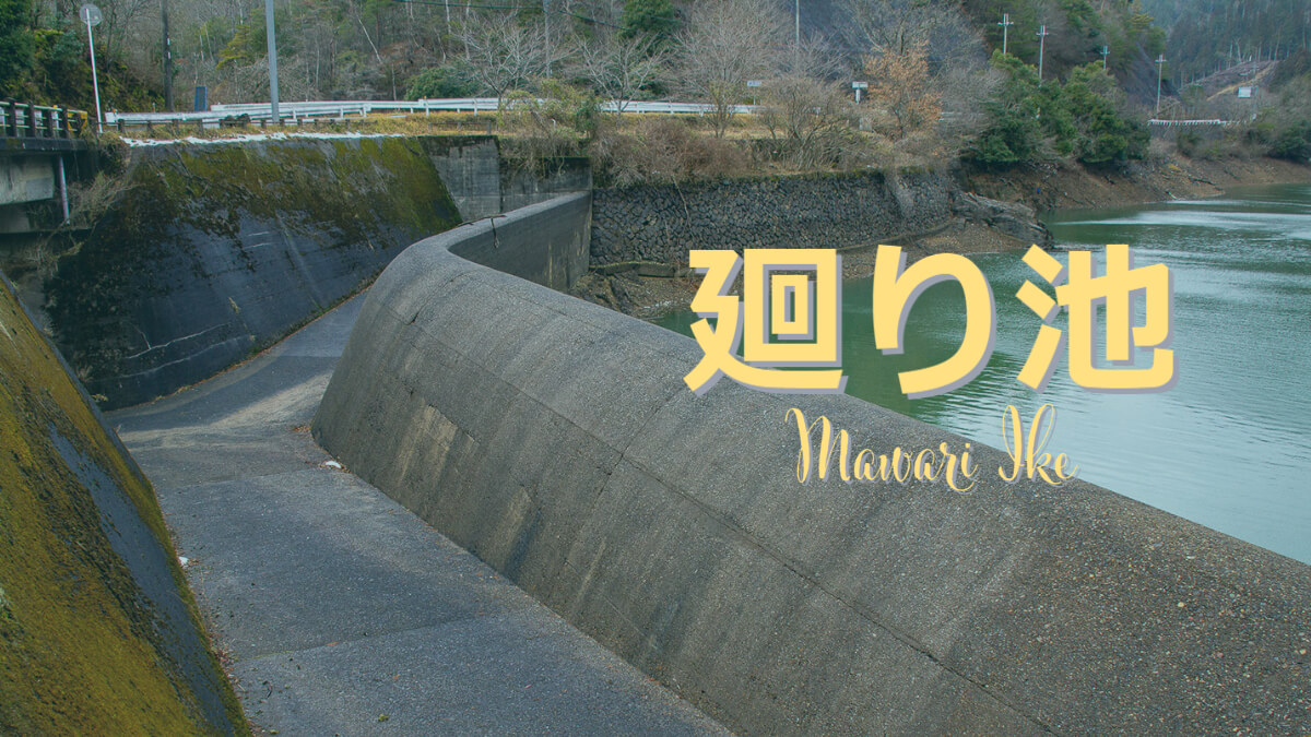
After leaving the Segi Dam, the next stop was Mawari-ike. Mawari-ike is an earth dam for agricultural use.
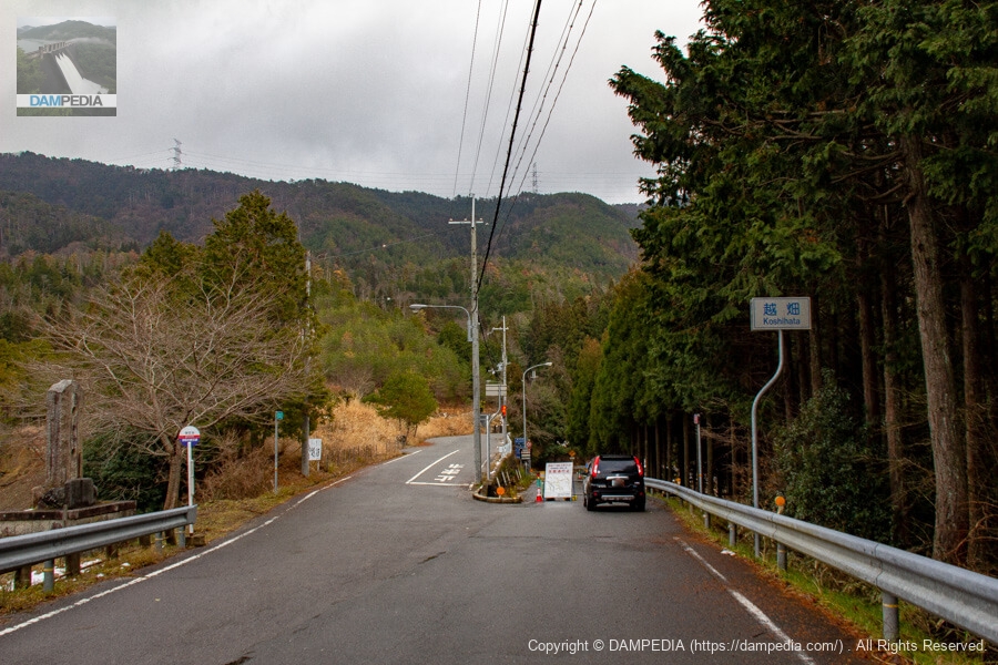
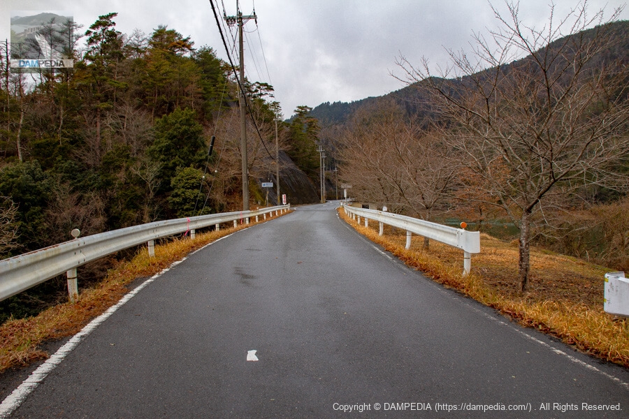
View of the junction of the prefectural road and the national road from near the top
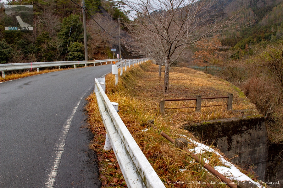
There is not much room to park the car, but the national highway side of the road was closed due to the typhoon the previous year, so we borrowed some space in front of the barricade. This is the only time we can park like this. There is a shoulder at the end of the road on the left, so you might want to park there. There is also a parking lot at the upstream end, but it is quite a distance away.
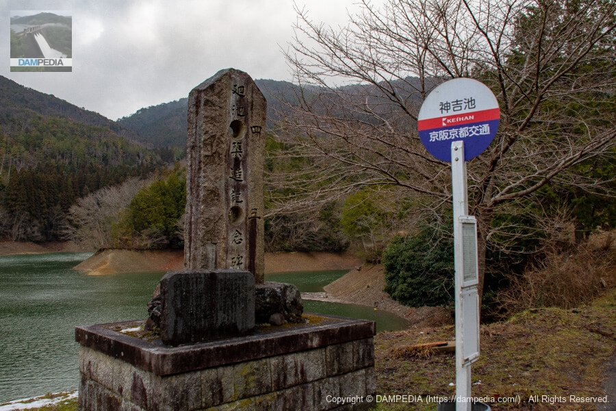
Bus stop and stone monument
The bus stop and stone monument seen on the left side of the photo above are the bus stop and stone monument shown in the photo below. The dam handbook and Kyoto Prefecture's reservoir database refer to it as Mawariike, but the bus stop is labeled as Kamiyoshiike, the stone monument as Mawariike, and Google Maps and GSI maps refer to it as Mawaridaike, which is rather shaky.
I saw information on a personal blog that Kamiyoshi Pond was the name of the pond before its renovation, but I think this information is also a bit dubious since there is no clear source. Personally, I suspect that it is a common name (or another name) because the name of the place upstream (Nantan City side) is Kamiyoshi, but let's see...
It is an unusual monument with two holes cut out of it. Is there a reason for this?
History
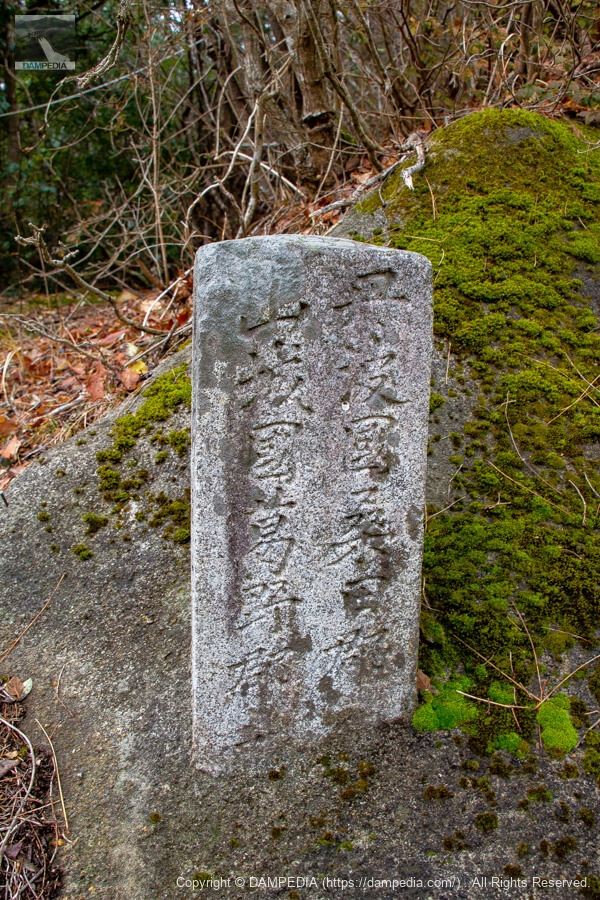
A stone monument with a history is set in the lower left corner of the large stone monument.

History
From the local monument
In 1878, the company leased this land and planned to build a reservoir with the support of the local government, starting construction in 1879.
Water storage capacity: approximately 1,000,000 cubic meters
1896: The embankment was raised to a height of Ichiban shaku.
Water storage capacity: approx. 69,000 cubic meters
Relocated and reconstructed the downspout in 1909.
1918 Reconstructed the aftershock water discharge
1929: Movable weir with a high water discharge rate? Newly constructed.
Water storage capacity: 846,000 cubic meters
Eighty years have passed since its construction and the reservoir has been leaking heavily year by year, and with the cooperation of the relevant government agencies, it was finally constructed as a dangerous reservoir in the fiscal year 1948, as a project to reinforce the old reservoir.
July 1930 Asahi Land Improvement Dist.
Some of the characters are old or indistinguishable, but I was able to read the approximate history of the renovations to date.
| Japanese calendar (Western calendar) | Construction Details |
|---|---|
| 1878 (Meiji 11) | lease land |
| 12 (1879) | Commencement of construction |
| 13th year (1880) | Completion of the initial turning basin (water storage capacity: approx. 360,000 m3) |
| 29th year (1896) | Raised the embankment by 1 length and 3 shaku (approx. 3m90cm) (water storage capacity: approx. 697,000m3) |
| Year 42 (1909) | The lower gutter was relocated and reconstructed, and the bottom gutter was enlarged to 7 shaku (approx. 2.12 m). |
| 1918 (Taisho 7) | reconstructing a reservoir |
| 1949 | New 1-meter-high gate at the residual water discharge? (Water storage capacity: 846,000 m3) |
| 33 years (1958) | Reinforced the embankment with grouting, major reconstruction of the excess water discharge, and repair work of the flume pipe. |
I am not sure about the construction in 1949, but if there are any other mistakes, please let me know. Anyway, the stone monument reads that the reservoir has a history of more than 100 years and has been renovated and augmented many times.
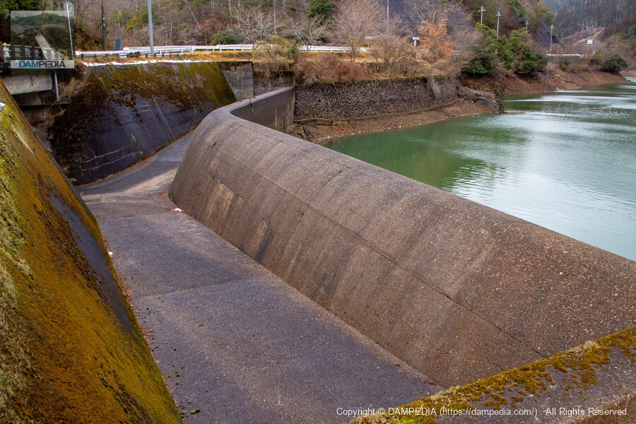
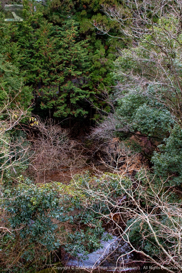
View of the upstream face of the levee and the after-flow water discharge from the monument
It is interesting to note that the side channel-type spillway is bent in the shape of a "U" and that water is concentrated on two sides to flow downstream. It is also interesting to note that the stone masonry at the back of the spillway is the embankment, but it does not look like it.
Looking downstream from the bridge above the spillway
The photo is overgrown with grass and trees, so it is hard to tell what it is. The road glimpsed on the other side is Route 477, which was closed to traffic at the time.
Remnants of the parent pillar placed haphazardly
The "Minamata River" and "Ike-no-Ebashi" are written on a pillar, but why was it placed so carelessly? Incidentally, it seems that the name "Minamata River" starts right below this bridge, and the river upstream from this point becomes the Chitose River. According to the river data of the Ministry of Land, Infrastructure, Transport and Tourism, the names of all rivers in this area are unknown, but as long as there are pillars, it must mean that the Chitose River is upstream and the Minamata River is downstream from the bridge.
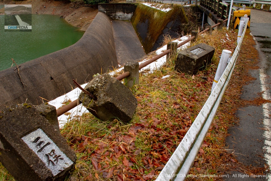
However, the river that flows into Nishigaya Dam, located south of Mawari Pond, is also said to be the Minamata River, and the downstream erosion control dam "Minamataarch damThe construction report for the "Mere Old Man" also states the following.
The Minamata River originates from the Chisaiyama and Jizoyama mountain ranges, centered on the 728-meter E.L. Mt.
Report on the construction of the Mimata Arch Dam
However, the nameplate of the bridge upstream from the Mawari Pond says "Chitose River", so the river downstream from the bridge over the Yosuidashi is the Minamata River and the river upstream from it must be the Chitose River. The bridge name plate upstream from the Mawari-ike Pond says "Chitose River".
Looking upstream from the left bank
Mawari Pond is difficult to recognize the embankment anyway. Moreover, it has this shape. The upstream side of the embankment is thicker than the downstream side. It is doubtful if it is really an embankment. It seems that during the renovation work in 1958, there was a lot of leakage, which may be one of the reasons why the wall is so thick.
Looking downstream from the right bank
But it is still an embankment because the immediate downstream side is shaped like this.

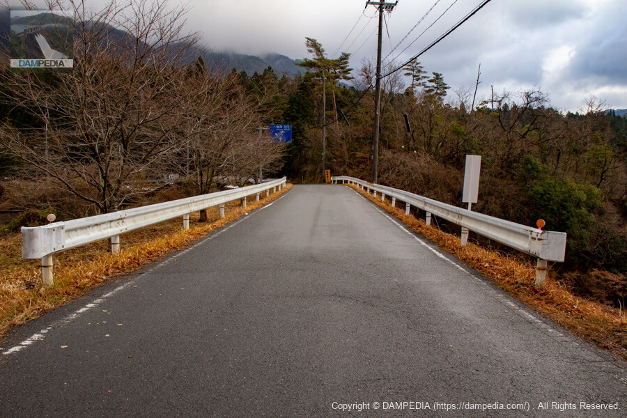
View of the top edge from the right bank
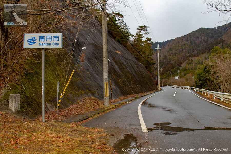
The top end is served by National Highway 477, making it a so-called top end national highway. It seems unusual to have a national road at the top of an earth dam.
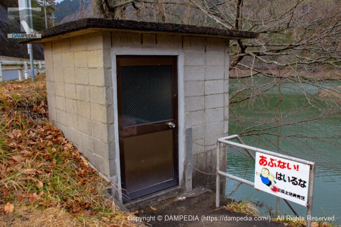
Water intake building on the right bank
This is a water intake building like those often seen in earth dams for irrigation.
Slant-flume intake system
This is another common type of slant-flume water intake system.

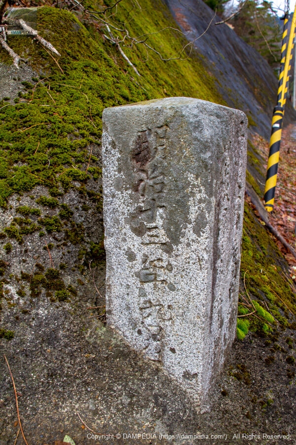
Boundary stone on the right bank
There was a boundary stone on the right bank. On the right is Kuwada-gun, Tamba-guni, and on the left is Kato-gun, Yamashiro-guni. This indicates that this was the border (Kunizakai).
Behind the boundary stone
1880 (Meiji 13). It's really interesting that this dam has many relics that give us a sense of history.
Looking northwest (toward Hiyoshi and Segi Dam) from the right bank
The stone on the left of the photo is the boundary stone. It is now the boundary between Nantan City and Ukyo-ku, Kyoto City.
View of the top edge from the left bank
No one would have known it was a dam unless they had prior information.
View of the bridge over the spillway
You may not even think it is a national highway, let alone a dam.

It was a very interesting and thought-provoking pond with more than one dam name, a history of dam construction and renovation from the stone monument, and a dam that does not look like a dam, except for the spillway.
Circulation Pond Specifications
| Location | Kamiyoshi, Yagi Town, Nantan City, Kyoto Prefecture (Dam Handbook) 98 Saga-Koshihata Nabenoura, Ukyo-ku, Saga, etc. (database of reservoirs) |
| River Name | Yodo River system Chitose River |
| Objective | A (irrigation water) |
| Model | E(earth dam) |
| Bank height | 30 m (dam handbook) 23.66m (reservoir database) |
| Bank length | 51m (dam handbook) 52.5 m (reservoir database) |
| Dam volume | 69,000 m3 |
| Watershed Area | 5.4 km2 |
| Reservoir area | 10 ha |
| Total storage capacity | 950,000 m3 (dam handbook) 740,000 m3 (reservoir database) |
| Effective water storage capacity | 850,000 m3 |
| Dam operator | Minamata Land Improvement District (Asahi Land Improvement District in the Dam Handbook) |
| Main body constructor | Directly managed by dam operator |
| Year of launch | 1878. |
| Year Completed | 1880. |
| Name of Dam Lake | - |
Other facilities/observations
There is space for cars to park at the junction of Route 477 and Prefectural Road 50, on the Prefectural Road side. There is also a large parking lot at the upstream end.
| Parking lot | ○ |
| Toilet | × |
| Park | × |
| PR Exhibition Hall | × |
| Fishing | ○? |

Comment