
Location: Ishikawa Iba, Uruma City, Okinawa, Japan
Date of interview: 2010/05/18
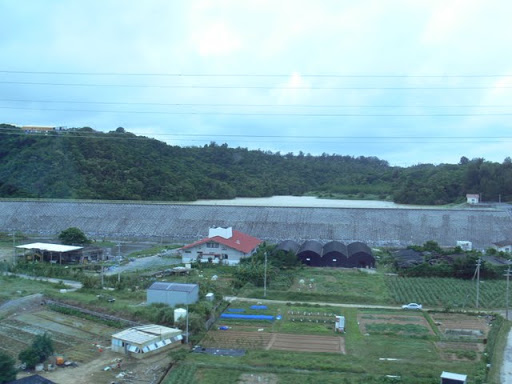
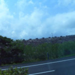
View of the levee downstream from the Okinawa Expressway (Part 1)

This dam, like the Yamashiro Dam, was photographed from the Okinawa Expressway during a tour of Okinawa! I was able to photograph it! However, it seems that the height of the embankment is less than 15m, so it is treated as a weir. Therefore, it was not listed in the dam handbook.
View of the levee downstream from the Okinawa Expressway (Part 2)
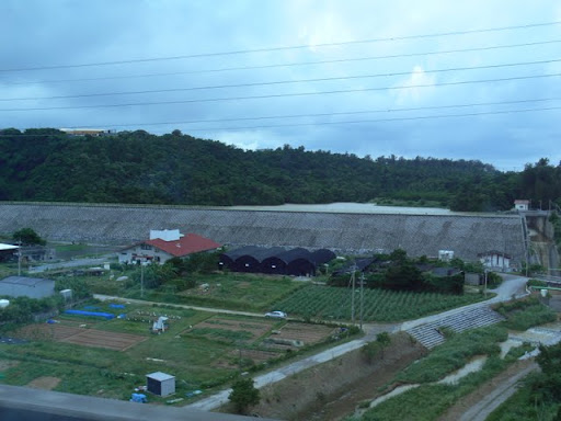
There is very little information on the internet and I can find very few specs. It looks like a concrete barrier wall type.... However, I found a paper (?) uploaded as a PDF file on the web server of the graduate school of the University of Tokyo, so I was able to get some information from there. I was able to get some information from there.
http://soil.en.a.u-tokyo.ac.jp/jsidre/search/PDFs/03/0304-15.pdf
interpoint (interword separation)Bank height13.2 m
interpoint (interword separation)Total storage capacity: 230,000m3
Effective water storage capacity: 216,000m3
View of the levee downstream from the Okinawa Expressway (Part 3)
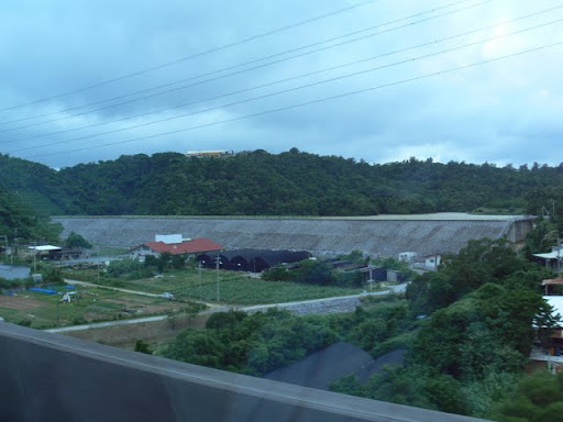
From this statement, it seems that the renovation was done in 2002. It is stated as if it was heaped up, but I wonder if the 13.2m is the height of the old levee...?
dam characteristics
| River Name | Ishigawa River System Ishigawa River |
|---|---|
| Objective | irrigation water |
| Model | ? |
| Bank height | 13.2m |
| Bank length | m? |
| Dam volume | ? m3 |
| Watershed Area | ? km2 |
| Reservoir area | HA? |
| Total storage capacity | 230,000m3 |
| Effective water storage capacity | 216,000m3 |
| Dam operator | ? |
| Main body constructor | ? |
| Year of launch | - |
| Year Completed | 1952 |
Other facilities/observations
Not enough. It's not enough. I'm sure I'll get my revenge someday.
| Parking lot | × |
|---|---|
| Toilet | × |
| Park | × |
| PR Exhibition Hall | × |
| Fishing | ? |
Comment