
Location: Yamamura-cho, Yokkaichi City, Mie Prefecture
Date of interview: 10/11/2010 (Monday)
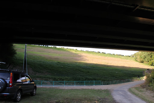
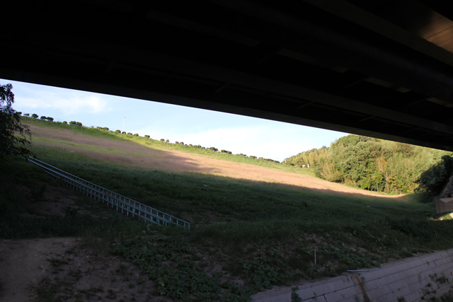
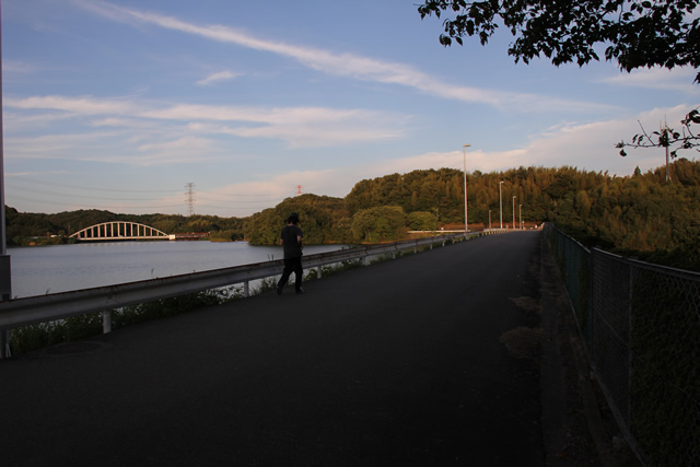
View of the levee from downstream
After Isaka Dam (1315-Isaka Dam/Isaka Dam), we visited the neighboring Yamamura Dam. The biggest feature of the Yamamura Dam is that the Ise Bay Expressway runs downstream of the dam. As you can see, the bridge girders are in the subject even when photographed together.
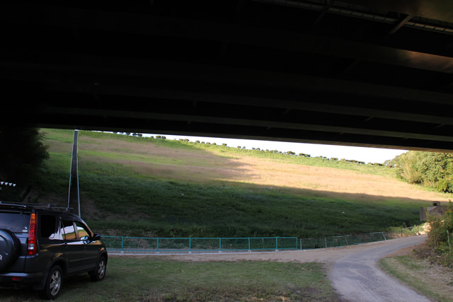
Pulling back a little more to view the levee from downstream.
If you pull back a little more, it looks like this. The right hand side is toward Meiko Triton and the left hand side is toward Yokkaichi JCT.
Like the Isaka Dam, the Yamamura Dam is designed for industrial water use and also serves the purpose of preventing land subsidence caused by pumping up groundwater.
Administrative stairs
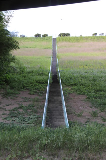
The administrative stairs lead straight up to the top, but it looks like it is off-limits, so we will just look at it from below.
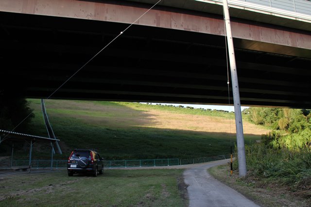
View of the left bank from downstream
Still, it is strange. The fact that you can see the dam beyond the bridge girder.
View of the levee near the center from downstream
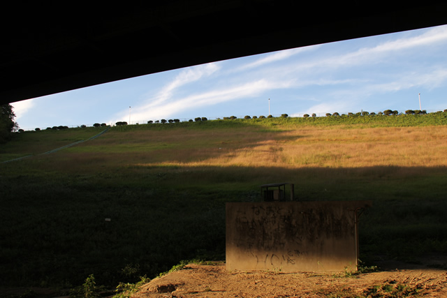
It gives the impression that this is the only place where space has been cut out.
The foundation of the dike is said to be Cenozoic Quaternary Pleistocene Pleistocene. I don't know about that (sweat).
View of the right bank embankment from downstream

This Yamamura Dam is probably the only dam so close to the highway....
View of the top edge from the left bank
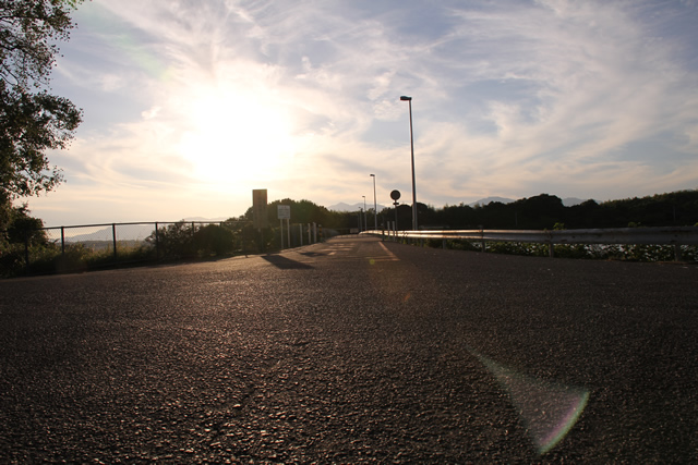
Then move on to the top edge. By the way, the road downstream to the place I just mentioned is quite narrow. It was so narrow that I thought my car would have turned into a turtle. Also, the road from downstream to the top edge was also very narrow, so narrow that I was not sure if a car was allowed to drive through.
Incidentally, the top edge is closed to automobiles.
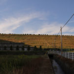
View of the embankment on the lake side from the left bank
I apologize for the difficult-to-see photo near dusk. The embankment on the lake side of the dam is covered with a lot of grass and trees.
View of the levee and Ise Bay Expressway downstream from the left bank
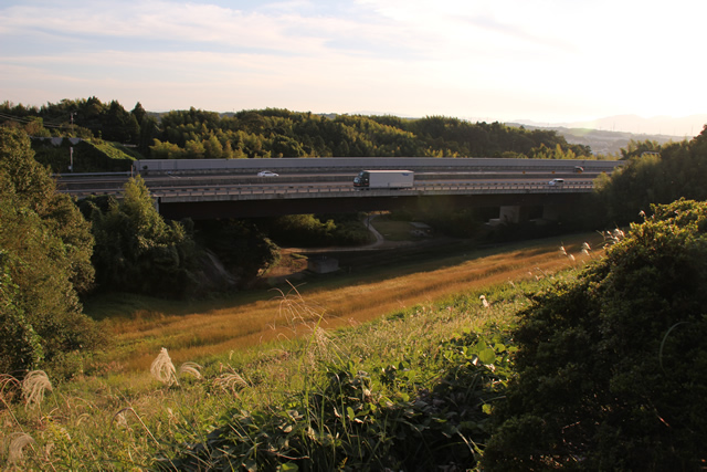
It is an indescribably mysterious space. There is a highway directly under the dam, and at such a close distance.
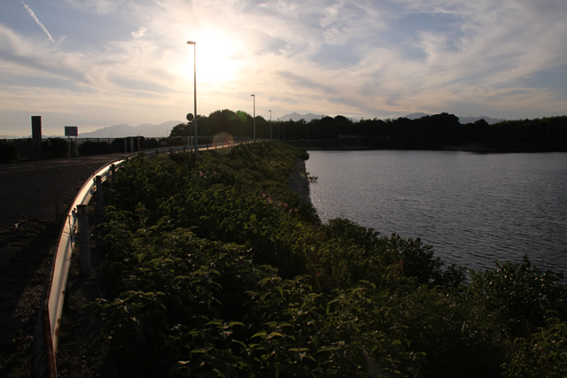
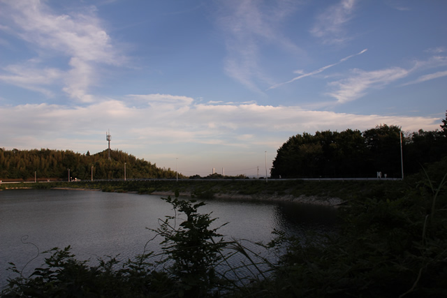
View of the dam lake
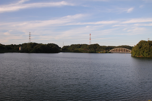
Kisogawa's horse farmweir (usu. for irrigation)(Water taken at the Kisogawa O-zeki (1228 - Kisogawa Great Weir (Magai Headworks)) is supplied to a group of factories in Yokkaichi through a water purification plant located on the Yamamura Dam site and through drainage pipes seen beyond the dam lake.
View of the administrative stairs from the top edge
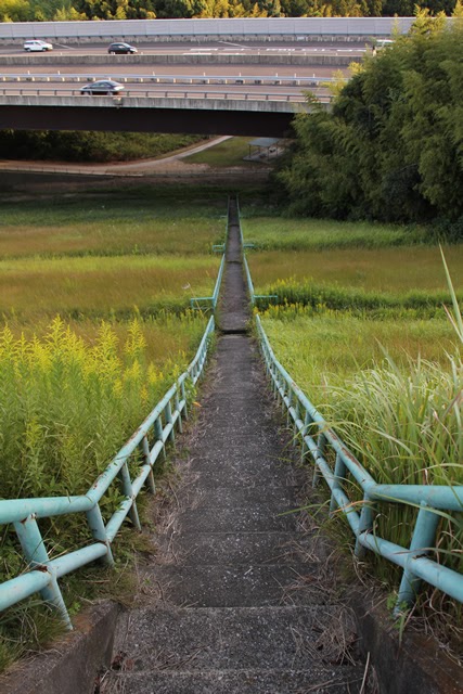
I stifle the urge to go down the stairs (laughs).
View of flood discharge

Like the Isaka Dam, this dam seems to be able to discharge almost all of the water it needs for irrigation alone, and this flood discharge is seldom used.
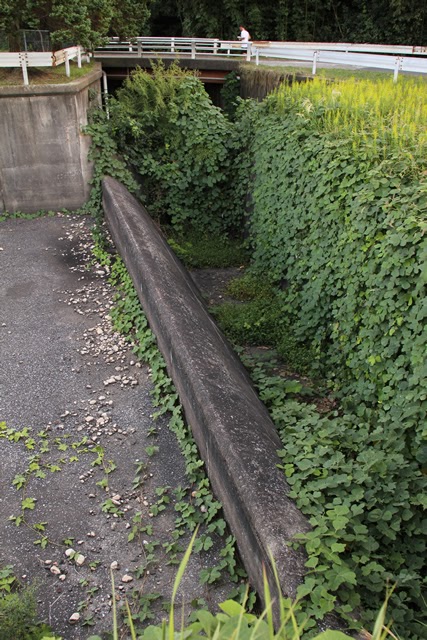
View of the conduit ...
It's now a jungle.conduitThe concrete structure is not visible. The concrete structure looks as if it is invisible.
View of flood discharge
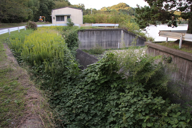
The grass is already overgrown, and I wonder if it would really function as a flood discharge in an emergency....
It's a "mojabaki," not a "moja house.
View of flood discharge
He said, "I was eco-friendly before I was born. Sometimes I come out, mojabaki." I don't know if Ibu Masatoh said that or not...
View of flood discharge
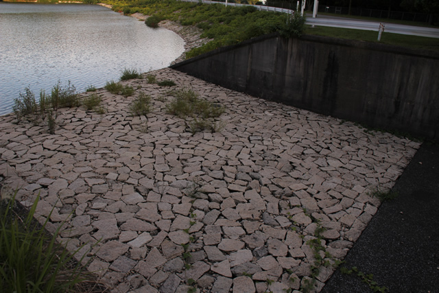
The stones are nicely laid out on this side!
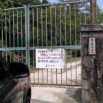
misprinted sign

Wow, you did it. The "zoned earthmdum" ...
Also, I think "fourth period" is "quaternary"...
View of the embankment on the lake side from the right bank
I was completely in the shadows.
View of the top edge from the right bank
Although not as many people as at Isaka Dam, joggers can be seen here and there.
dam characteristics
| River Name | Asaaki River system Higashigawa |
|---|---|
| Objective | industrial water |
| Model | earth dam |
| Bank height | 37m |
| Bank length | 749m |
| Dam volume | 575,000m3 |
| Watershed Area | 0.5km2 |
| Reservoir area | 22 ha |
| Total storage capacity | 2,340,000m3 |
| Effective water storage capacity | 2,183,000m3 |
| Dam operator | Mie prefecture (Kinki area) |
| Main body constructor | Tobishima Construction |
| Year of launch | 1970 |
| Year Completed | 1975. |
| Name of Dam Lake | Yamamura Reservoir |
Other facilities/observations
There does not seem to be a designated parking area, but the dam site on the left bank is relatively spacious, so it is a good place to park.
| Parking lot | ○ |
|---|---|
| Toilet | × |
| Park | × |
| PR Exhibition Hall | × |
| Fishing | × |
Comment