

Location: Taguchi, Komono-cho, Mie-gun, Mie Prefecture
Date of interview: Tuesday, November 23, 2010
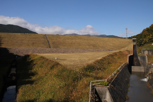
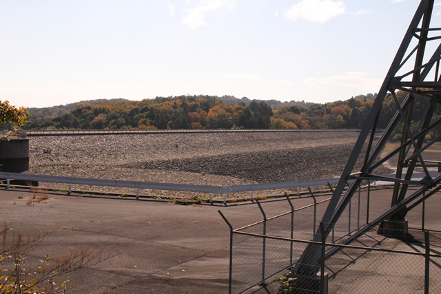
View of the levee from downstream
The Miyagawa Regulating Pond is a dedicated irrigation dam owned by the Japan Water Agency, and is used for agricultural water via the Asaaki Irrigation Canal. It is located in the middle of the trunk canal of the Mie Irrigation Canal and not only stores water for its own watershed, but also conducts water from the Nakazato Dam (1323-Nakazato Dam) for the Mie Irrigation Canal when there is a shortage of water.
View of the conduit from downstream
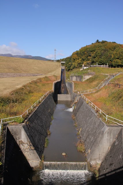
This is a long conduit of the type often found in earth dams of the Japan Water Agency.
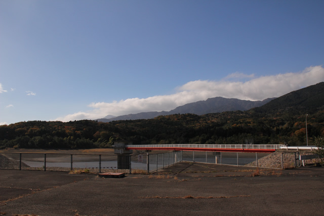
View of the dam lake and intake tower from the left bank
Now, we move to the top level. Unfortunately, entry was forbidden.
View of the explanation board from the left bank
There is an explanatory sign in that area, but I was too far away to see it.... I am sure that they are set up for explanatory meetings, but I would like to see them set up outside the restricted area as well, if possible.
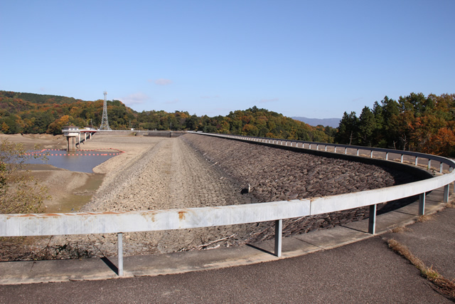
View of the embankment on the lake side from the left bank
The embankment on the dam lake side is quite exposed. The water level of the dam lake is quite low. After the Miyagawa Regulating Pond, we stopped by the Komono Regulating Pond, where we were told by the manager that the dam is ostensibly under construction, but that this is a measure to prevent anglers from fishing. The pond is drained during the season when water is not needed because anglers enter without permission and fish without permission even though the pond is off-limits to anglers.
The management office of the Komono Regulating Pond seemed quite angry. To all anglers, please behave with morals and moderation.
The Japan Water Agency, Mie Water Management Office manages Suirei Lake (Uchikami Regulating Pond), Suzuyo Lake (1323-Nakazato Dam), Fukuo Lake (Miyagawa Regulating Pond), Komono Regulating Pond, and Shiratori Lake (1326-Kasato Regulating Pond), all of which are closed to fishing.
View of the embankment on the lake side from the right bank
From this vantage point, you can clearly see that it is quite empty.
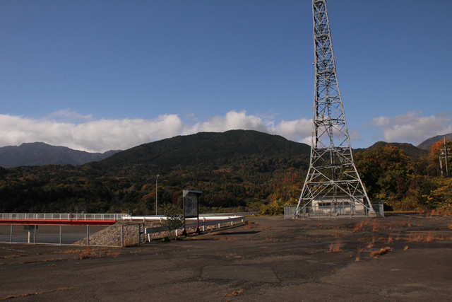
View of the intake tower from the right bank
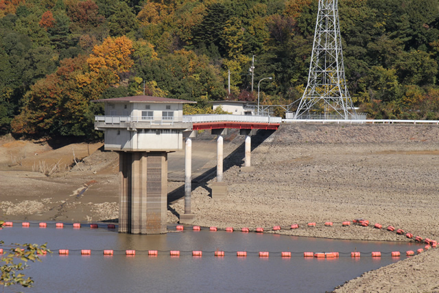
The water intake tower is also in full view.
Miyagawa Regulating Pond Specifications
| River Name | Asaake River system Taguchi River |
|---|---|
| Objective | irrigation water |
| Model | earth dam |
| Bank height | 27m |
| Bank length | 350m |
| Dam volume | 390,000m3 |
| Watershed Area | 1.8km2 |
| Reservoir area | 13 ha |
| Total storage capacity | 854,000m3 |
| Effective water storage capacity | 800,000m3 |
| Dam operator | Public corporation for water resources development, 2 works |
| Main body constructor | Sumitomo Construction |
| Year of launch | 1977 |
| Year Completed | 1979 |
| Name of Dam Lake | Fukuouko (Lake Fukuou) |
Other facilities/observations
| Parking lot | × | There is some space to park on the left bank. There is almost no parking space on the right bank. |
|---|---|---|
| Toilet | × | |
| Park | × | |
| PR Exhibition Hall | × | |
| Fishing | × |

Comment