
Location: Kasato, Suzuka City, Mie Prefecture
Date of interview: 10/11/2010 (Monday)
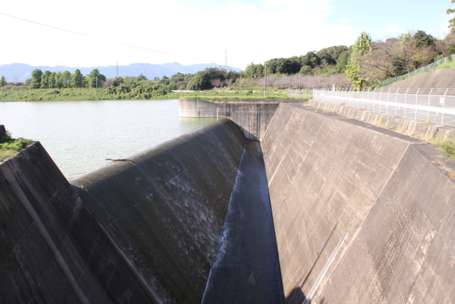
View of flood discharge
The Kasado Regulating Basin is one of the regulating basins for the Mie Irrigation System, and is a sloped core zone type fill dam that stores not only water from the direct basin, but also water conduited from the Komono Regulating Basin. The Kasado Regulating Basin is the terminal regulating reservoir for the Mie Irrigation System, and the water flows through it in a natural flow system.
And as soon as I arrived, I looked at the flood discharge and saw water flowing! This is lucky!
View of the dam lake from the left bank
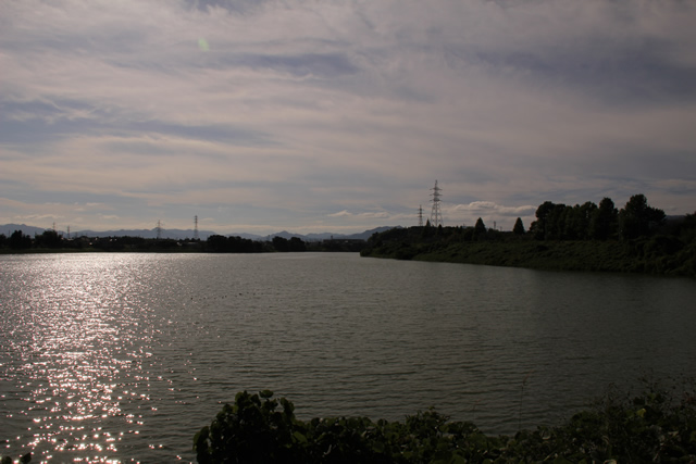
A regulating reservoir filled with plenty of water. The Kasato Regulating Pond was the third dam to be constructed following the Nakasato Dam and the Miyagawa Regulating Pond. Before I go any further, I apologize for the darkness of the photo.
View of the flood discharge and intake tower from the left bank

The flood discharge is of a type commonly found in earth dams.
View of the conduit from the top edge
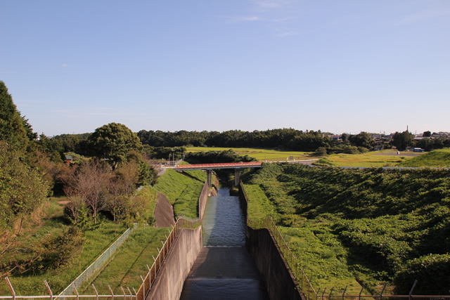
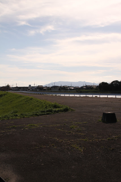
Downstream, there is a long and quiet countryside.
View of the explanatory sign
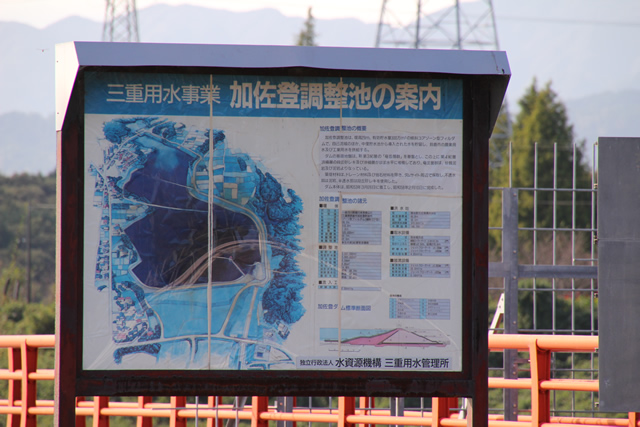
Entry to the top is forbidden, and although there is a sign explaining the site, it is not possible to see it. It is probably used for events such as social tours and field trips.
View from the fence toward the intake tower

Perhaps because the Kasato Shrine is located nearby, the intake tower is shaped like a shrine, and the bridge parapet is painted vermilion.
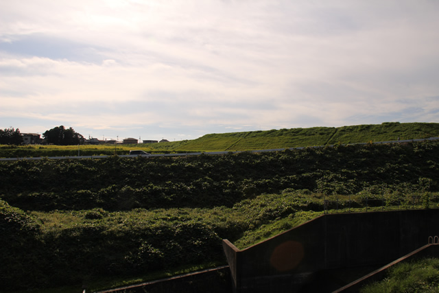
View of the levee downstream from the fence
This is the top edge, but it is off-limits, so this is the limit.
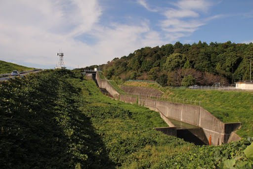
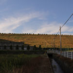
View of the levee from the hillside
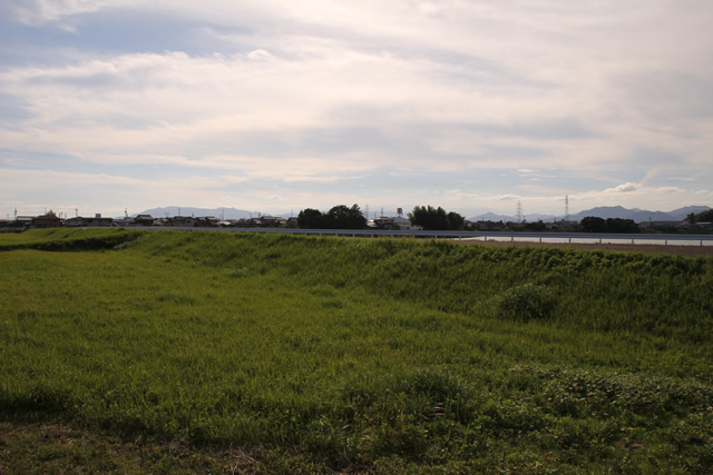
The scenery is unlike that of a dam.
Close-up view of the embankment from the hillside
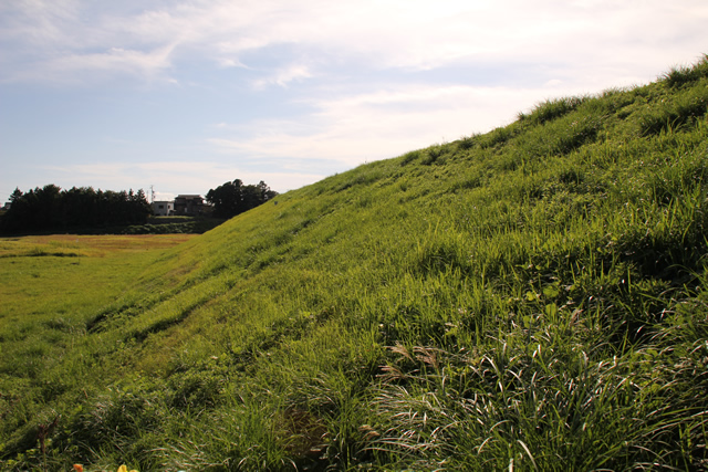
It is like a river bank. I would love to lie down and look up at the sky or slide on a piece of cardboard.
View of the conduit from downstream

The gently sloping embankment has a long conduit in proportion to its size. The construction of this area is a bit cool, and it looks like a space battleship.
View of the conduit from the bridge downstream

Looking straight ahead. Something cool.
Incidentally, the water is being discharged today, so it is hidden from view, but a slit-type water-reducing structure has been installed in that area where the water is pooling.
egret
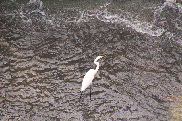
I looked down and saw a white heron playing.
View further downstream from the bridge

Downstream, it joins the Suzuka River just ahead and finally pours into Ise Bay.
View of the levee from the bridge downstream
I tried to capture the entire image of the embankment, but it turned out to be an even more confusing photo.
View of the flood discharge from the bridge downstream

If you use a telephoto lens to look through the conduit, you can clearly see the water flowing.
Kasato Shrine
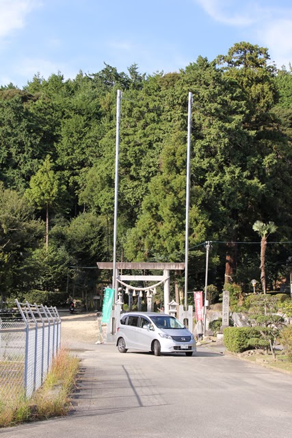
This is the Kasato Shrine.
dam characteristics
| River Name | Shiiyama River, Suzuka River system |
|---|---|
| Objective | Irrigation, water supply, industrial water |
| Model | earth dam |
| Bank height | 28.7m |
| Bank length | 310m |
| Dam volume | 520,000m3 |
| Watershed Area | 6.9 km2 |
| Reservoir area | 34 ha |
| Total storage capacity | 3,047,000m3 |
| Effective water storage capacity | 3,000,000m3 |
| Dam operator | Public corporation for water resources development, 2 works |
| Main body constructor | foundation |
| Year of launch | 1964 |
| Year Completed | 1982 |
| Name of Dam Lake | Swan Lake |
Other facilities/observations
There is a large space near the bridge above the flood discharge. A little further upstream is the Suzuka Flower Park. You can use the restrooms there. Fishing is absolutely prohibited.
| Parking lot | △ |
|---|---|
| Toilet | ○ |
| Park | ○ |
| PR Exhibition Hall | × |
| Fishing | × |

Comment