
Date of interview: Sunday, 08/04/2013
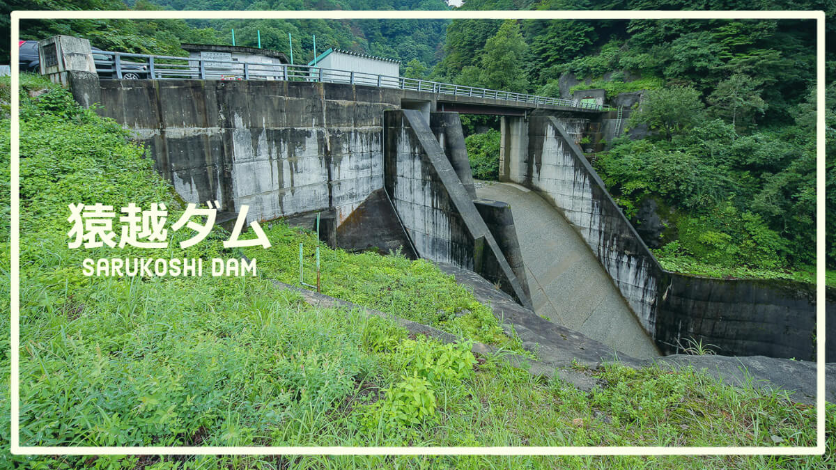
中山ダムから約12.2kmの距離を南下すること約20分。やって来たのは猿越ダムというこちらも富山県企業局所有の発電専用ダムです。それにしても国道471/472号の区間は狭隘な道路でいわゆる「酷道」に類する道路だと思いますが、個人的には好きな道路であっても家族を連れて走る道ではないですね💦
Looking downstream from the right bank
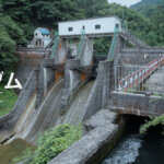
The dam has a gateless, rugged appearance.
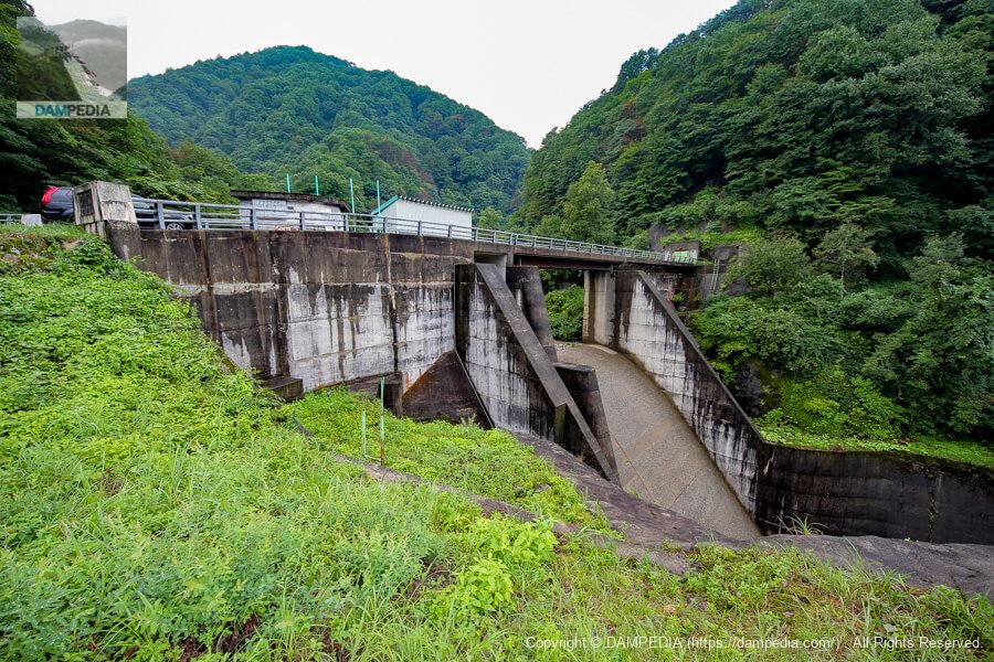
View of the top edge from the right bank
The top end is open to automobile traffic, but we did not go further from the top end because it only leads to a construction road and a trail to Mount Kongodo, and it was marked off-limits. There is what looks like a tunnel door on the left bank, but is it a rim tunnel?
Incidentally, the climbing route from Sarukoshi Dam to Mt. Kongodo seems to be quite tough and not many people use it.
View of the reservoir from the top
At the back, the river flows in from both sides, with the Nishinosedogani on the right of the photo, and the Ohagatani River on the left, which flows along the national highway. After merging, the river seems to change its name to Ida River. The amount of sand deposited in the Nishi-no-Seto valley is still very large, but it seems that many erosion control dams have been constructed in the valley.

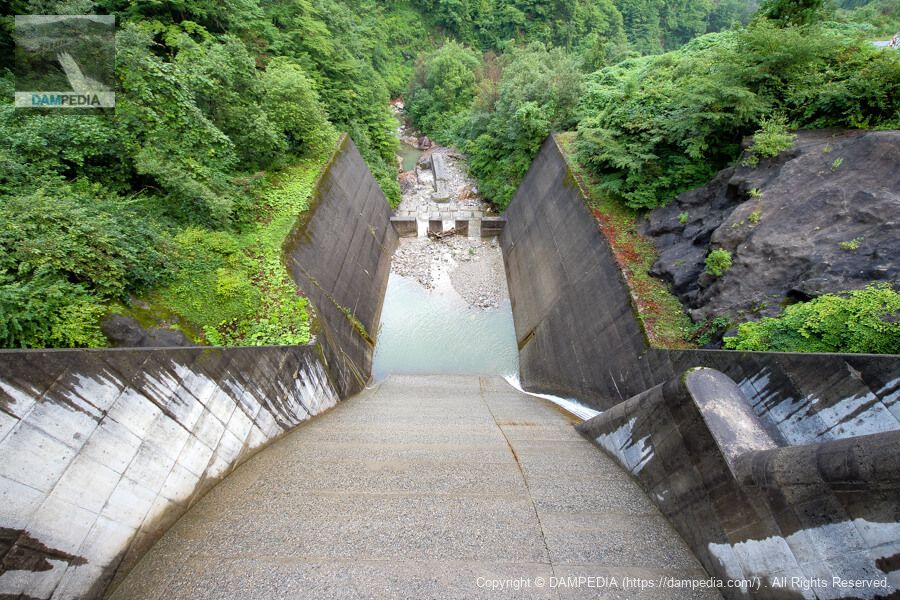
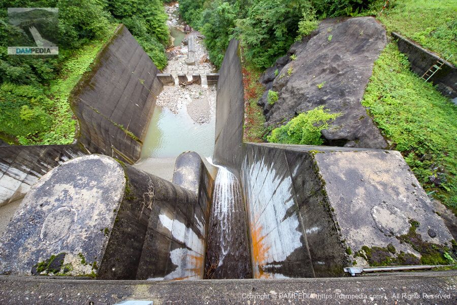
Looking downstream from the top
The abatement is deeper than expected. The ledge is rough with a rough concrete surface, and the downstream area beyond the abatement is also quite rough.
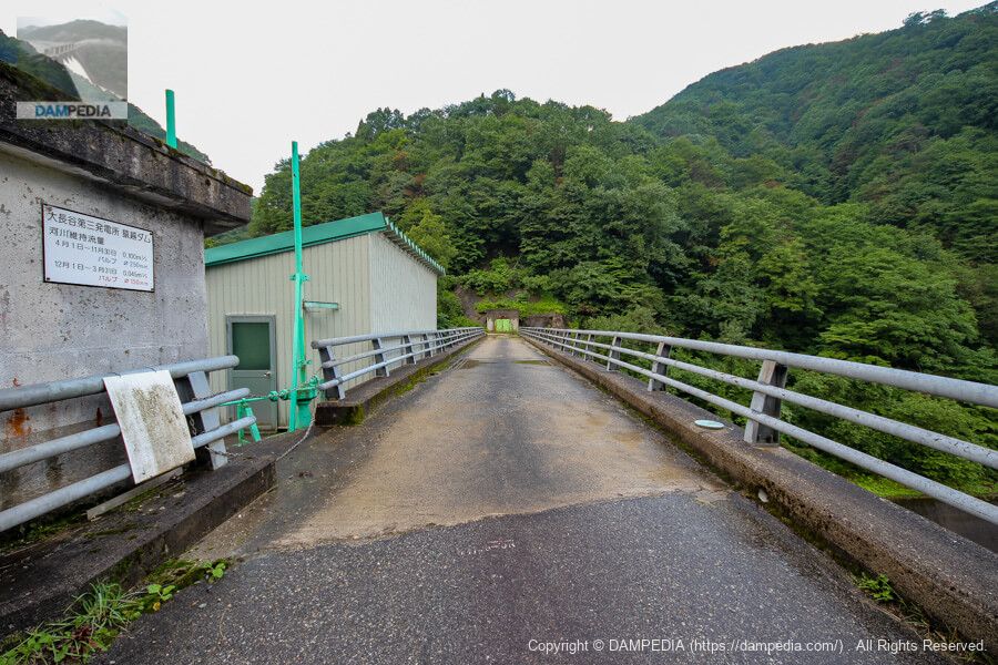
View of the conduit on the side of the sand discharge gate from the top edge
The right bank side is equipped with a sliding gate-type sand discharge gate and a valve for river maintenance discharge, and water was flowing a little on this day. According to a signboard at the site, the river maintenance flow rate is 0.100 m3/s with a Φ250 mm valve from 4/1 to 11/30 and 0.045 m3/s with a Φ150 mm valve from 12/1 to 3/31.
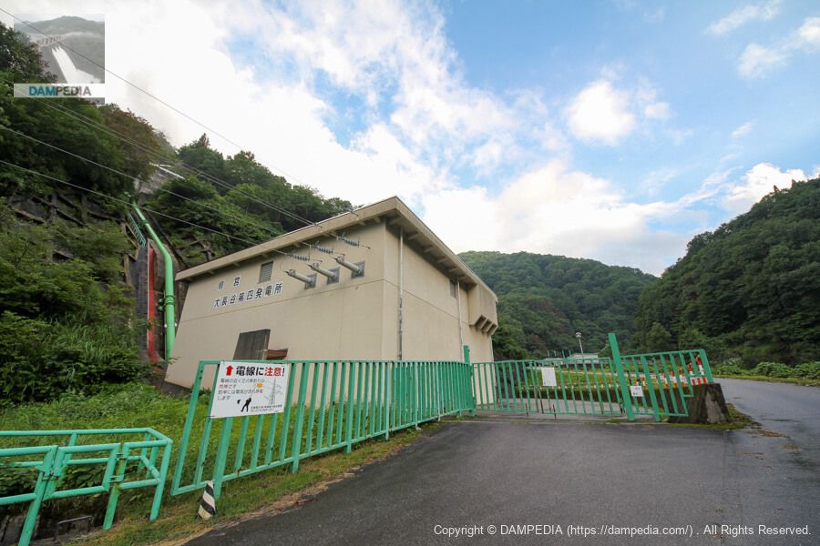
Prefectural Ohnagaya No.4 Power Plant
Just downstream of the Sarukoshi Dam is the Ohnagaya No. 4 Power Station. It is a waterway-type power station located at the upstream end of the Jinzu River system, and is the only power station in the Toyama Prefectural Bureau of Public Enterprises that uses a horizontal shaft Pelton turbine. The water intake itself is not carried out at the Sarukoshi Dam, but at an intake weir approximately 1.6 km upstream in a straight line, producing a maximum of 2,600 kW of electricity.
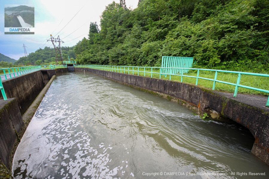
sedimentation basin
Immediately south of the Ohnagaya No. 4 Power Plant is a sedimentation basin. The water used for power generation at the No. 4 power station (right photo) and the water taken from the Sarukoshi Dam merge here, and the water is fed to the Ohnagaya No. 3 power station located 4.3 km downstream, producing a maximum of 8,000 kW of electricity. With an effective head of 244.5 m, it is the largest hydroelectric power station in the Toyama Prefectural Bureau of Public Enterprises.
The road is closed during the winter, and even when it is open, it is often closed due to disasters. It is also a very rough road, so it may be difficult to approach from the Gifu Prefecture side, but it is a good idea to visit after taking road information and safety into consideration.
Sarukoshi Dam Specifications
| Location | Nishi-Seto, Kirizume, Yatsuo Town, Toyama City, Toyama Prefecture |
| River Name | Jinzu River System Ida River |
| Objective | P(Power generation) |
| Model | G(gravity-fed concrete dam) |
| Bank height | 29.6m |
| Bank length | 68m |
| Dam volume | 14,000 m3 |
| Watershed Area | 18.1 km2 |
| Reservoir area | - Ha. |
| Total storage capacity | - m3 |
| Effective water storage capacity | - m3 |
| Dam operator | Toyama prefecture (Hokuriku area) |
| Main body constructor | - |
| Year of launch | - year |
| Year Completed | 1981 |
| Name of Dam Lake | - |
Other facilities/observations
There is no parking lot, but parking will be on the shoulder space.
| Parking lot | × |
| Toilet | × |
| Park | × |
| PR Exhibition Hall | × |
| Fishing | ○ |
Map around Sarukoshi Dam
Weather around Sarukoshi Dam
Accommodations that may be close to Sarukoshi Dam
The actual accommodations are listed below.

Comment