
Date of interview: Wednesday, 12/10/2014
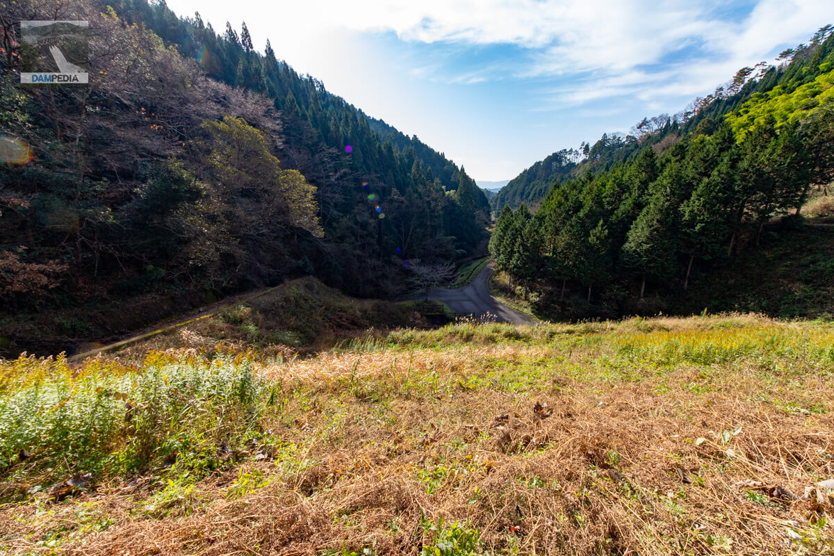
The fourth reservoir of the day was Gokurakuji Pond. As the name suggests, there is a historic temple called Gokurakuji upstream of the reservoir, which was opened during the Wado Period.
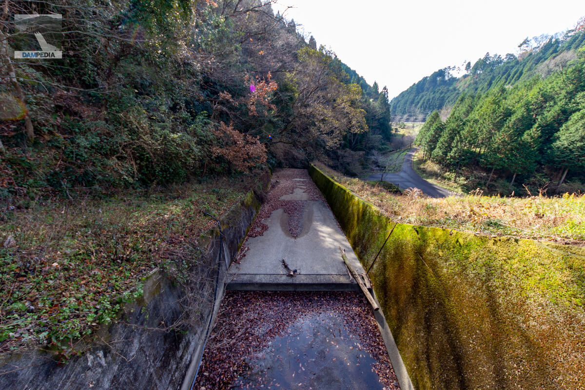
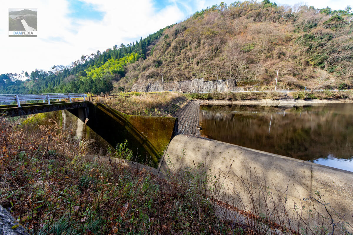
View of the downstream face of the levee and the conduit from downstream
It can be viewed from downstream, and although it is not so touristy, it has a mysterious appeal. As you can see, it is an earth dam.
View Force Reduction Works
This is a unique abatement structure. The back (upstream side) is an impact block and the front (downstream side) is an end sill. The drainage pipe on the left is probably from a drain.
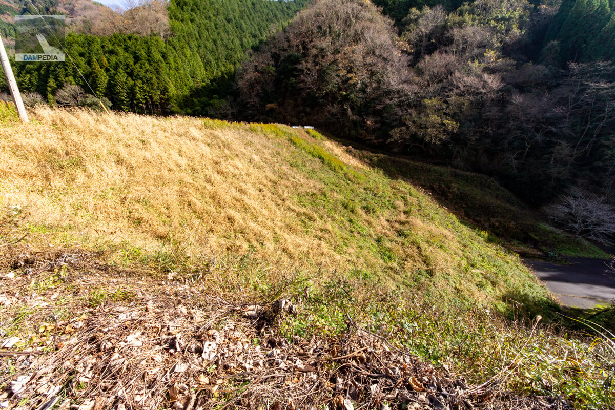
downstream face of embankment
The downstream face of the earth dam is not particularly noteworthy, but it appears that a stairway that can be ascended from the top edge was originally installed on the left bank side on the right side of the photo.
monument to commemorate the reconstruction of a building
According to the dam handbook, the original Gokurakuji Pond was completed in 1943, but as part of the Okayama Prefecture-operated land improvement project for reservoirs, etc., construction work to renovate the embankment began in April 1985 and was completed in March 1990. This monument was erected to commemorate the reconstruction.

However, the Gokurakuji Pond was damaged by Makurazaki Typhoon on September 17, 1945, which caused 46 deaths and 20 houses to be damaged. Furthermore, during the aforementioned renovation work, a water leakage accident occurred in July 1987. The leakage accident occurred immediately after the renovation, and the renovation work was originally scheduled to be completed in about two years.

Looking downstream from the right bank
It is hard to believe that there has been such a tragedy in the current situation.
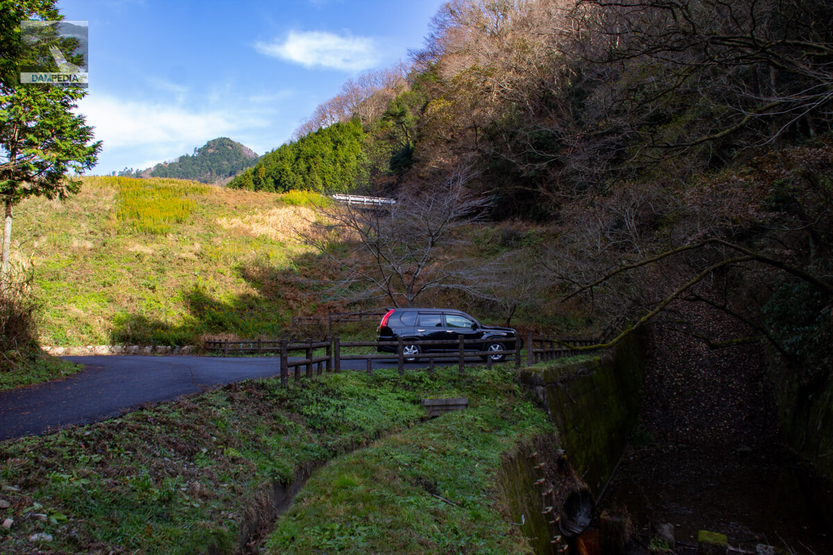
View of the top edge from the right bank
The top end is not forbidden to motor vehicles, but it is better for your own safety not to proceed as it dead-ends at this point (lol).

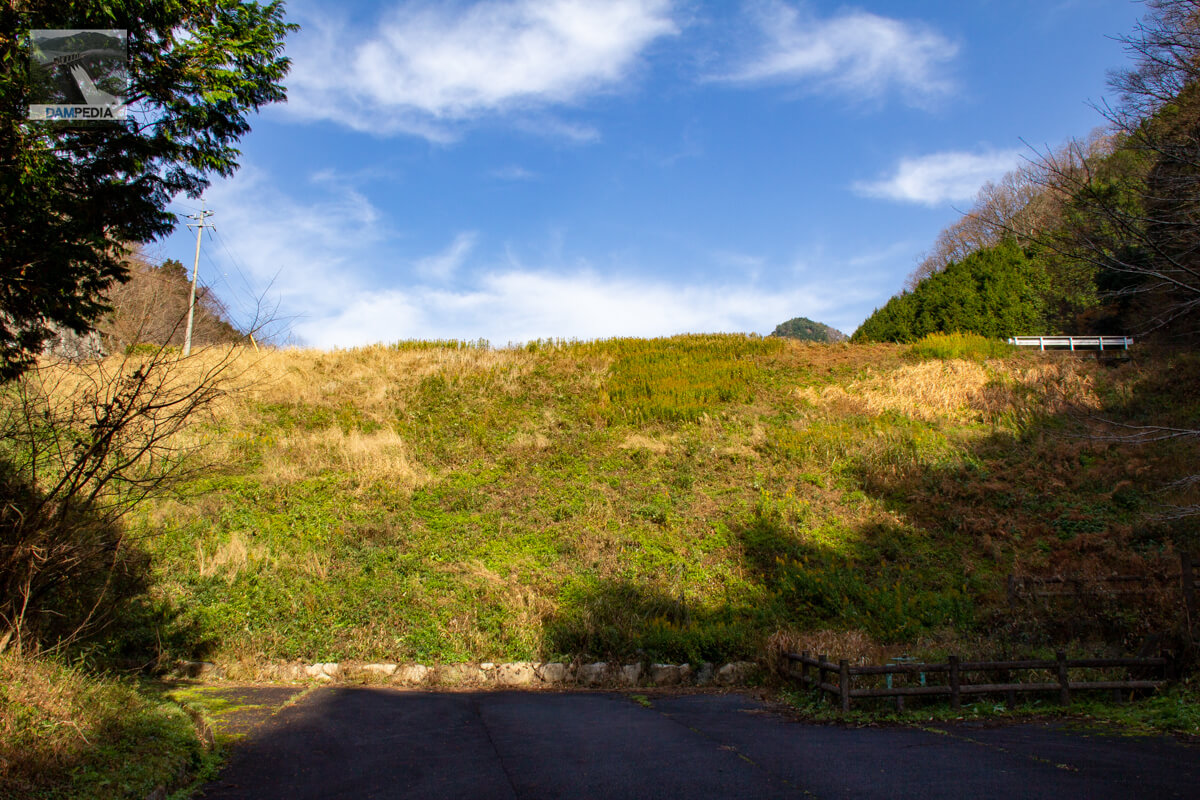
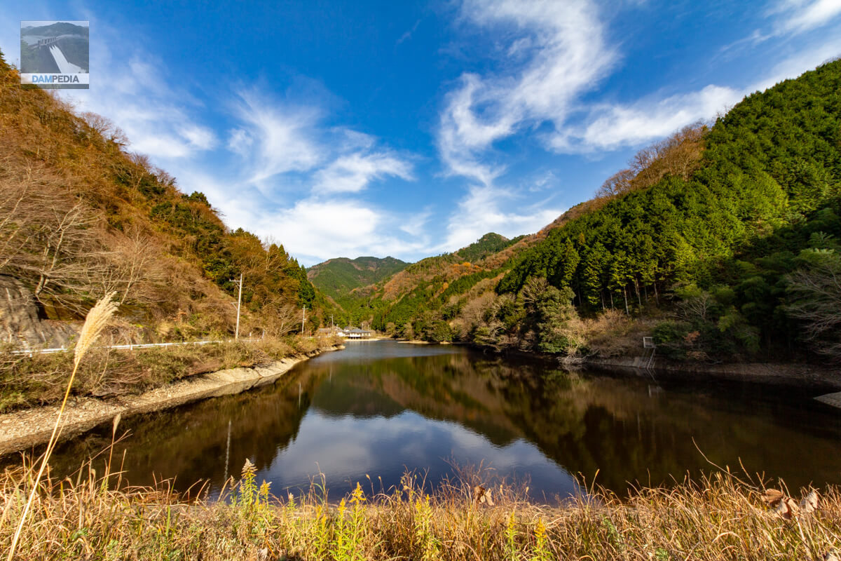
View of the reservoir from the top
The upstream end of the reservoir, which is not very large, is easily seen. The area where the Gokuraku-ji Temple is located can be seen in the back. In front of the gate is a cenotaph for the victims of the 1945 flooding. There are no words to describe how hellish it must have been at that time.
The slant-flume water intake system is glimpsed on the right of the photo.
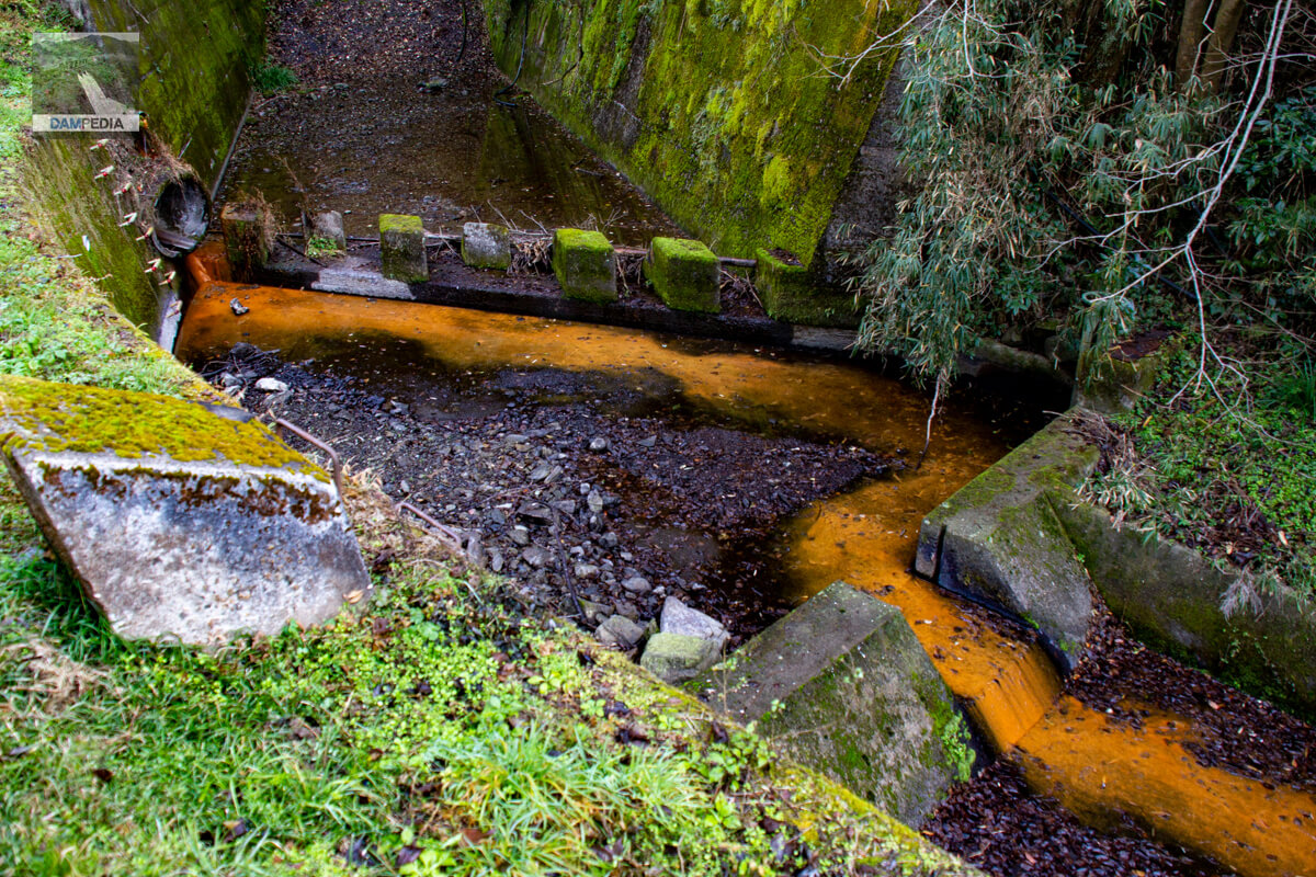
View Residual Water Discharge
The spillway is a side channel type, which is common in fill dams.
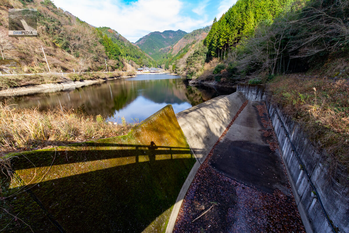
Looking downstream at the residual water discharge
It is also unique in that the leading part flows slightly horizontal in the downstream direction and slopes at the end of it. I think this is done to reduce the flow.
Looking downstream from the top
Can you see its conduit slightly horizontal on the left of the photo?
View of the top edge from the left bank
It is a simple top end typical of earth dams.
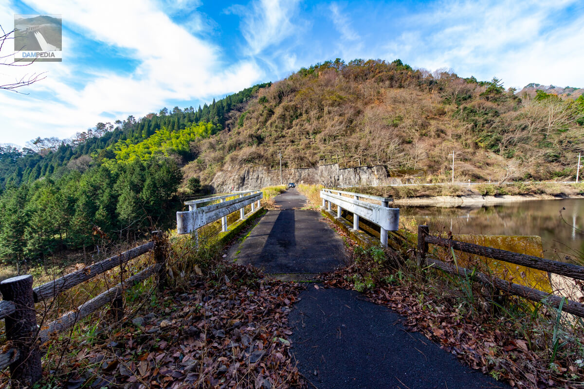
Looking upstream from the left bank
The slope protection on the upstream side of the embankment is concrete blocks.
Looking upstream from the right bank
Although the earth dam was destroyed by Typhoon Makurazaki during the chaotic period immediately after the end of the war, the Gokurakuji Pond was repaired and is still being carefully used to enrich the 105.5 ha of agricultural land in the Oda district of Kagamino-cho.

Gokurakuji Pond
According to the dam handbook, the embankment height is 17.7 m, the embankment crest length is 72.6 m, and the total storage capacity is 121,000 m3, but these figures are based on the Okayama Prefecture reservoir database.
| Location | Kamimoribara, Kagamino-cho, Tomata-gun, Okayama |
| River Name | Yoshii River System Kamimori River |
| Objective | A (irrigation water) |
| Model | E(earth dam) |
| Bank height | 18.5m * |
| Bank length | 70m * |
| Dam volume | 36,000 m3 |
| Watershed Area | 1.9 km2 |
| Reservoir area | 2 ha |
| Total storage capacity | 181,000 m3 * 181,000 m3 * 181,000 m3 * 181,000 m3 |
| Effective water storage capacity | 121,000 m3 |
| Dam operator | Kamimoribara District |
| Main body constructor | Directly managed by dam operator |
| Year of launch | - year |
| Year Completed | 1943. |
| Name of Dam Lake | - |
Other facilities/observations
| Parking lot | × |
| Toilet | × |
| Park | × |
| PR Exhibition Hall | × |
| Fishing | × |
| Viewing platform | × |
Map around Gokurakuji Pond
Weather around Gokurakuji Pond
Accommodations that may be close to Gokurakuji Pond


Comment