
Date of interview: Saturday, 06/08/2013
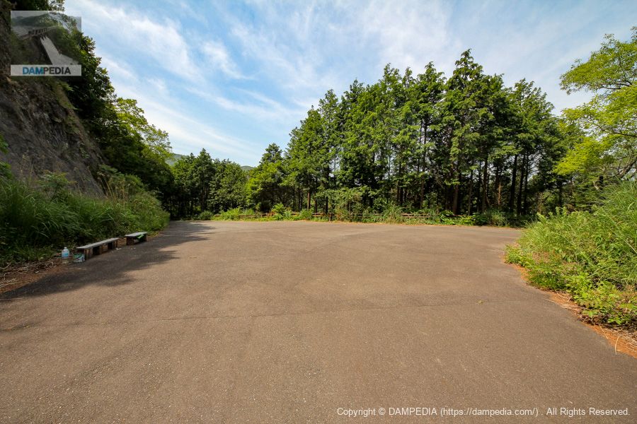
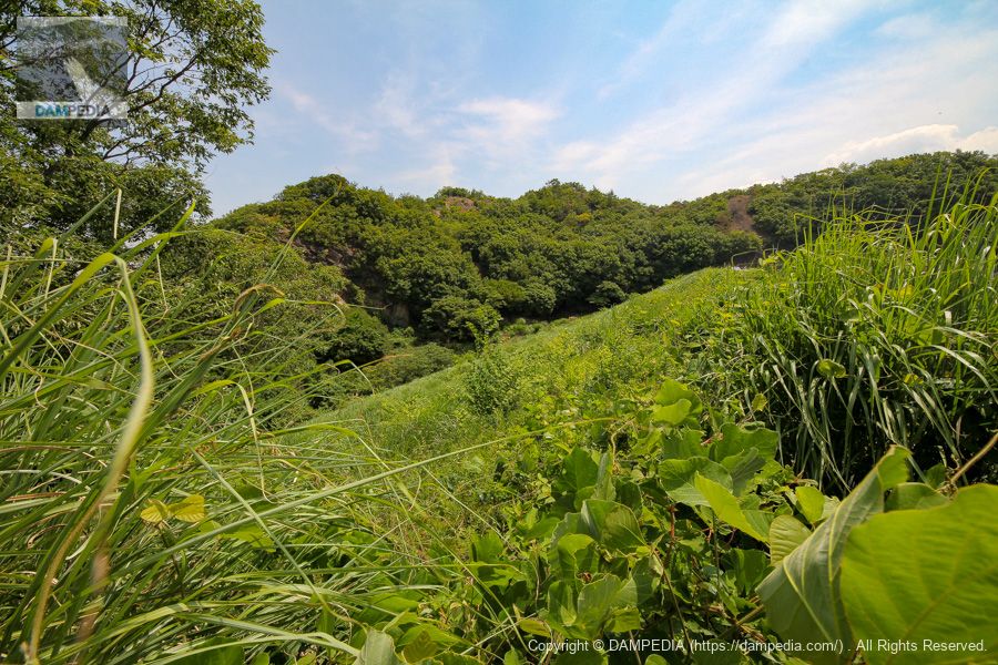
From Shintaki Pond, we headed upstream on foot for a dozen minutes. The destination is Takino Pond. It feels like a picnic when you head there. It might be a good idea to bring a packed lunch. It is paved with asphalt and has no steep slopes, so it is easy to go there.
Bench on the way to Takino Pond
If you follow the path upstream from Shintaki Pond, there is a branch and you go right to Takino Pond, but there is a bench on the left. By the way, if you go left, you will proceed to a reservoir called Shin-ike. This pond is 15 meters high, so we will not go there this time.
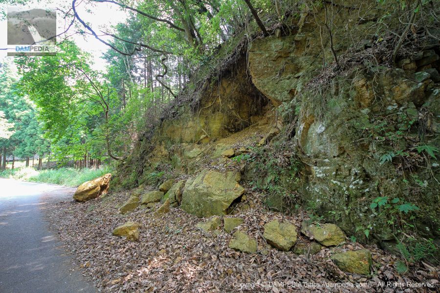
Landslides along the way
It looks more like a rock avalanche than a landslide. Could there have been an even bigger collapse from here?
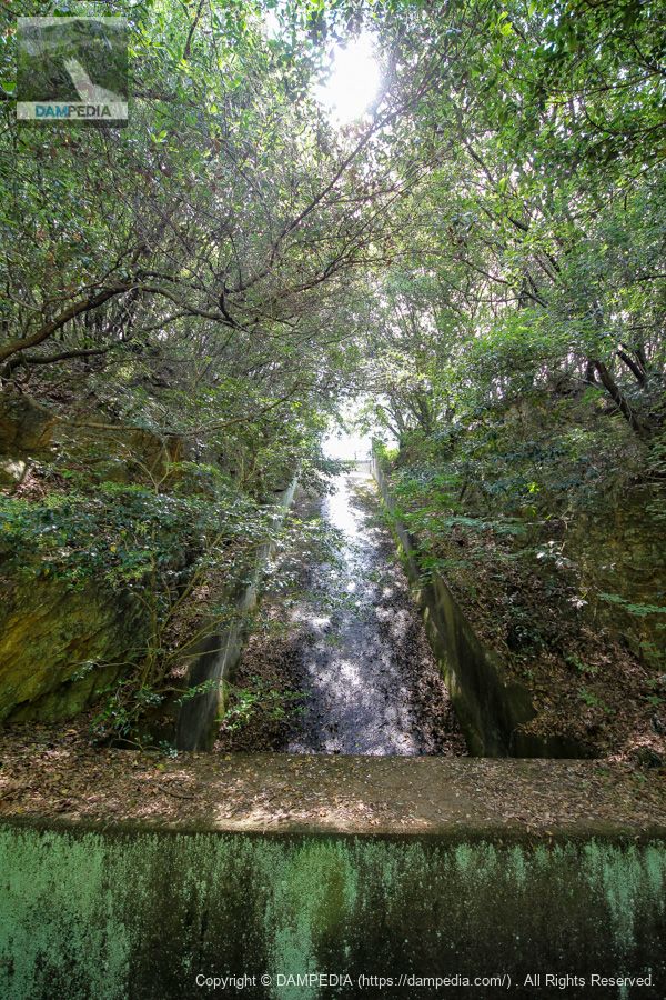
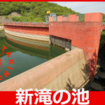
New Pond Residual Water Discharge
Further on, you can see the after-water discharge of the new pond on your left.
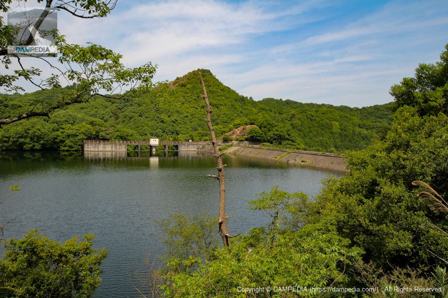
View of the after-flow water discharge and the upstream face of the embankment from the right bank
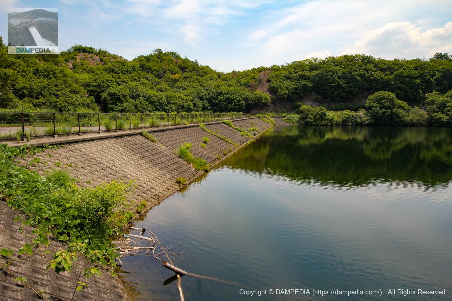
Walking slowly, we can see the reservoir and the embankment. You can see that the water level is just above the bed level of the flood discharge.
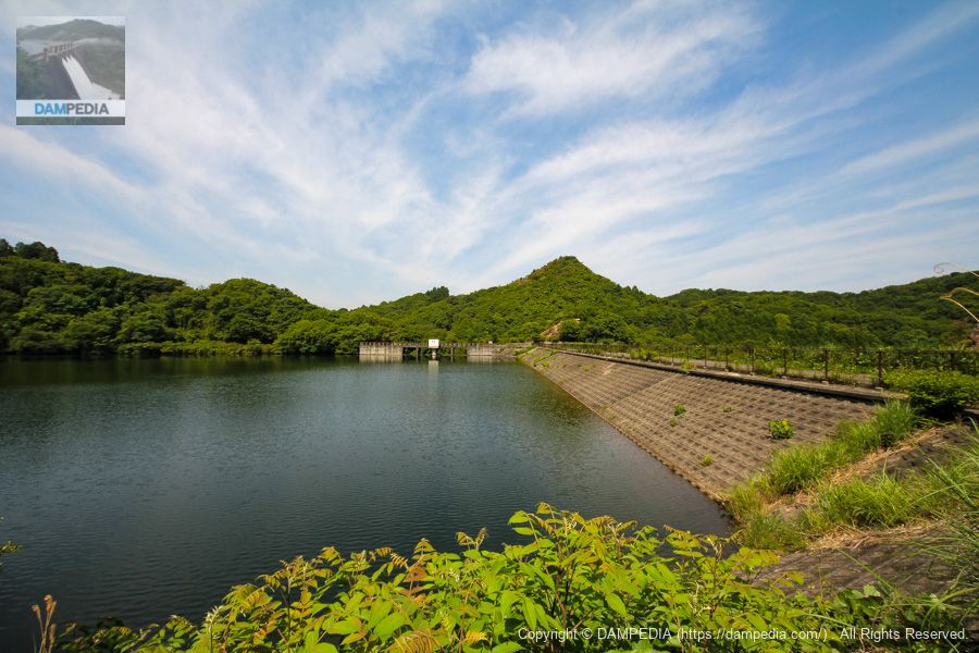
View of the upstream face of the embankment from the right bank
Levee surfaceimpermeable wallSlope protection works are the common type of laying blocks.
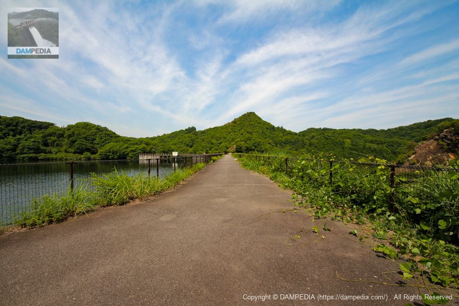
View of the top edge from the right bank
Although the top of the dam is typical of an earth dam, it is paved and visitors can freely walk to the left bank.
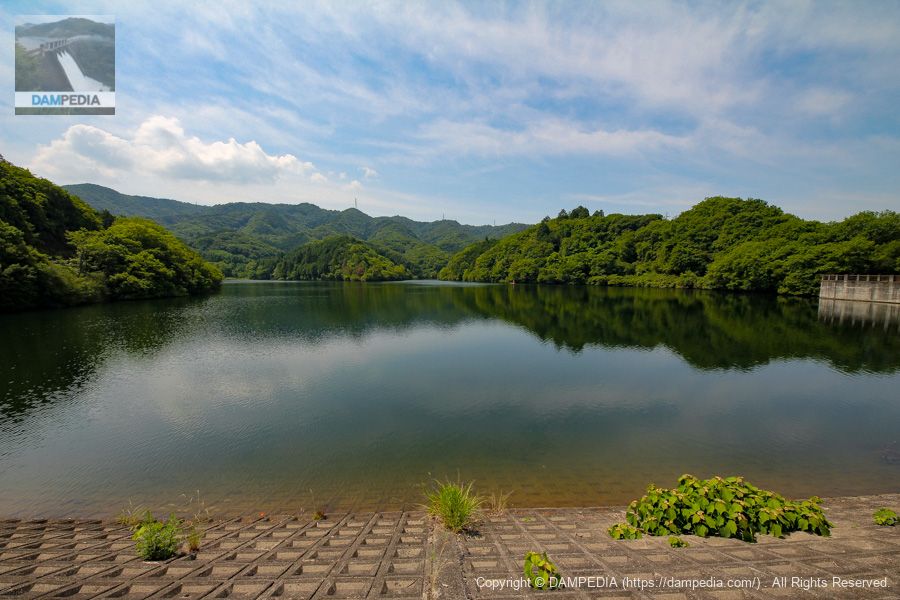
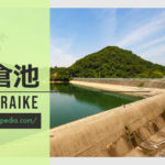
View of the dam lake from the top
It is clean water. Some people enjoy fishing with boats in the back, but I wonder where they brought their boats from.
View from the top overlooking the upstream face of the spillway
The spillway is built almost perpendicular to the embankment.

Takino Pond Stone Monument
I see the character for "waterfall" is used on the stone monument.

Back of the monument
The stone monument contains history and the history of the renovation. However, the dirt appears to be soot. Did someone roast it with fire...?
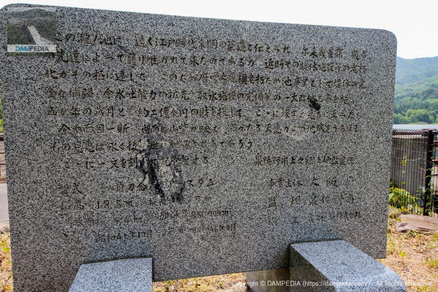
This Taki no Ike is said to have been built at the end of the Edo period, and has been protected by many predecessors for many years since then. In recent years, however, the aging of the levee and other facilities has reached its peak. Therefore, as part of the prefectural government's large-scale aging reservoir project, a major renovation work was undertaken to completely strengthen the levee, expand the capacity of the surplus water discharge, and complete the water intake facilities, and after five years and an investment of approximately 200 million yen, construction has been completed.
From a local stone monument (partially processed on this site)
Now, the face of the pond has been renewed, and the reflection of the mountain purple on the surface of the pond is a blessing to the area, and its benefits will be passed down to future generations for many years to come.
A memorial is hereby inscribed. Kaminogo Land Improvement District, Izumisano City
model (e.g. of a vehicle)metal cutting blade typeearth dam
Bank height 18.5m Length of embankment 116.7m
Full water storage area: 5.4 ha Effective water storage capacity: 350,000 m3
Construction started October 1966 Completed March 1971
Entity Osaka Pref.
Supervision Izumisano City
Construction Ikuyu Construction Co.
View of the upstream face of the embankment from the spillway
It has been about half a century since the renovation, and we hope it will be used for many years to come.
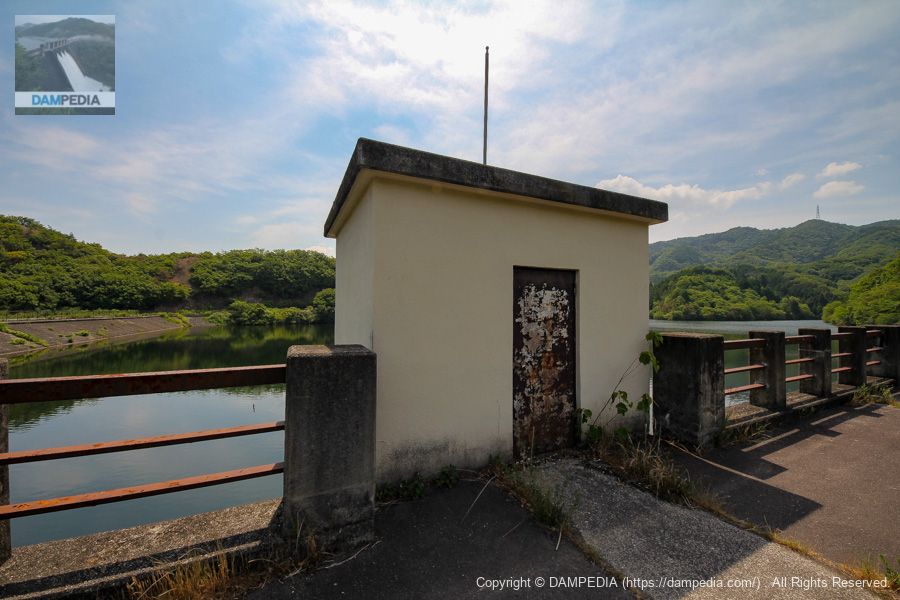
water intake facility
There is a water intake facility in the center of the residual water discharge. Specifications are unknown.
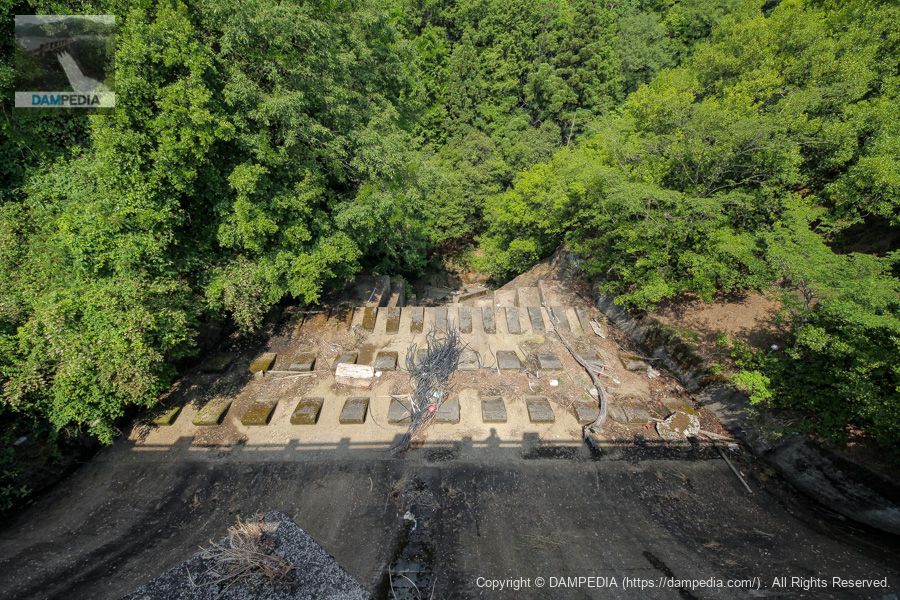
View of the conduit from the bridge over the spillway
Low baffle peers are lined upconduitI'm not sure what to do about it. Still, the trash is amazing. If you look closely, the downstream structure looks quite complex and interesting, but unfortunately you can't see it clearly from here. You can also see what looks like a valve, but it appears to be connected to the water intake facility.
View of the top of the residual water discharge
It is interesting that there is a landslide on the left bank of the embankment and in the foreground in the photo of the spillway, and the saddle between the two is connected to the spillway. I thought it was very reasonable. I wonder what it looked like before the renovation.

Downstream view of the levee from the left bank
To the untrained eye, the photo looks like grass growing on a slope.
This agricultural reservoir was built at the end of the Edo period (1603-1868) and has been continuously maintained and renovated up to the present day. Although access to Taki no Ike is limited to foot traffic and there are many mysterious aspects, we hope that it will continue to be useful for many years to come.
Taki no Ike Dimensions
| Location | Kaminogo, Izumisano-shi, Osaka |
| River Name | Kashii River System Oyama Valley River |
| Objective | A (irrigation water) |
| Model | E (earth dam) |
| Bank height | 18.5m |
| Bank length | 116.7m |
| Dam volume | 101,000 m3 |
| Watershed Area | km2 |
| Reservoir area | 5 ha |
| Total storage capacity | 351,000 m3 |
| Effective water storage capacity | 351,000 m3 |
| Dam operator | Osaka (metropolitan area) |
| Main body constructor | Ikkyu Construction Co. |
| Year of launch | 1966 |
| Year Completed | 1971 |
| Name of Dam Lake | pond used to prevent water from falling into a river |
Other facilities/observations
| Parking lot | ○○ (use the parking lot of Shintaki no Pond) |
| Toilet | × |
| Park | × |
| PR Exhibition Hall | × |
| Fishing | ○? |
Comment