
Date of interview: Saturday, 06/08/2013
After visiting Shintaki Pond and Takino Pond, the next stop was Inakura Pond. The map showed that, like Shintaki no Ike, Inakura Pond has become a place of recreation and relaxation for local citizens, with a playing field and the Izumisano City Outdoor Activity Center located there.
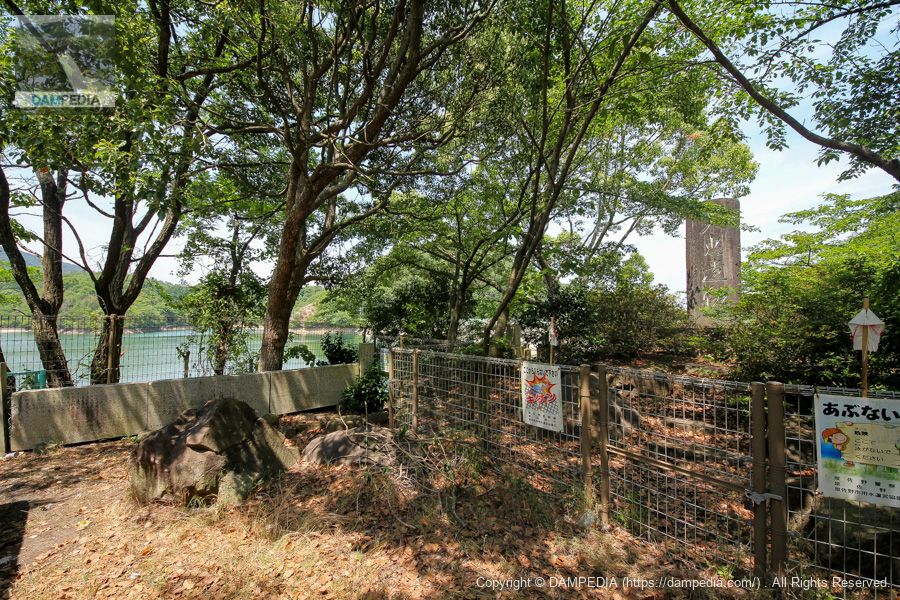
Stone monument on the right bank
Tenkei relics...I can't read it. Perhaps it is a stone monument honoring the construction of the dam. The Inakura Pond Dam was constructed in conjunction with the Inakura Pond Water Pipeline in response to concerns about water shortages caused by the destruction of irrigation canals and reservoirs during the war due to the construction of the Sano Airfield.
Construction was suspended due to a shortage of materials and labor and postwar turmoil, but resumed in 1950, completed in 1957, and renovated in 1993.
The Inakura Pond Water Pipeline is an irrigation canal constructed as part of the "Prefectural Izumisano City Outside 1 Rikicho Water Improvement Project." With Inakura Pond as the parent pond, the pipeline connects Oshiri Pond, Karai Pond, Nuno Pond, and Suehiro Pond. I believe this stone monument honors this long-held wish.
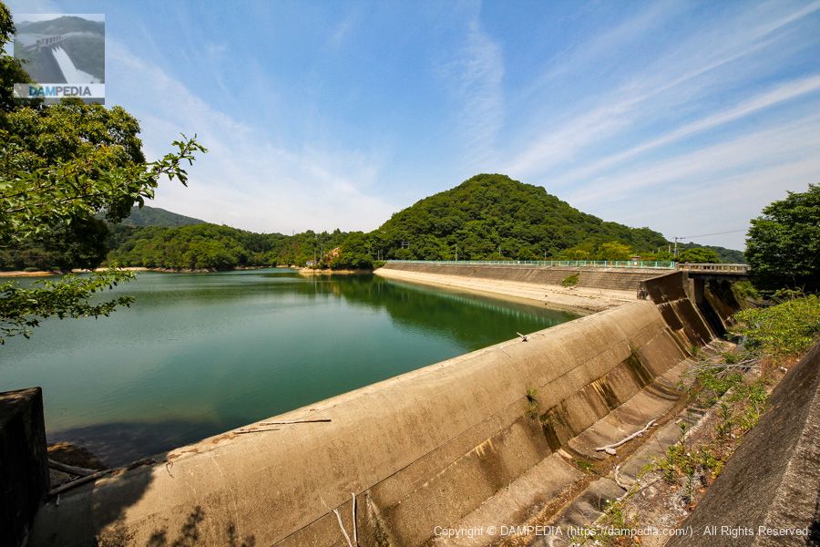
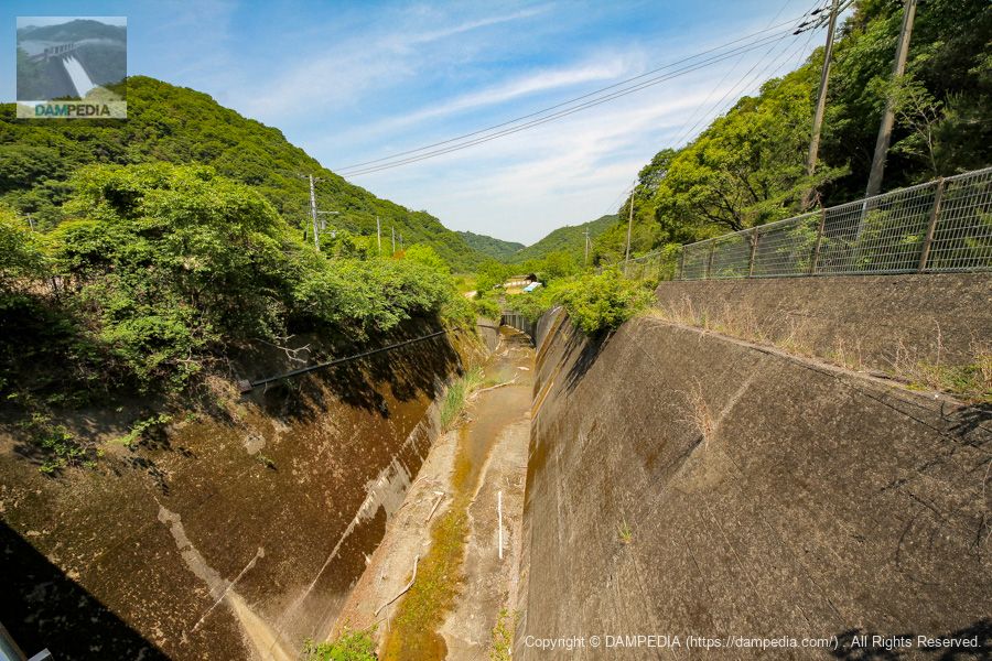
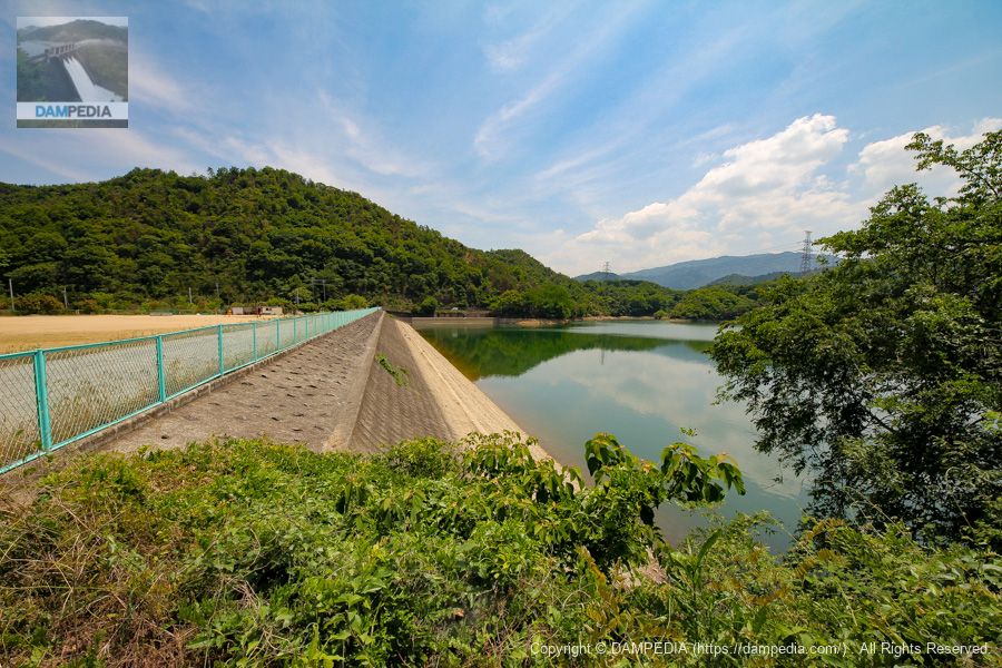
View of the after-flow water discharge and the upstream face of the embankment from the right bank
The spillway is a side channel type of the type often seen in earth dams and rockfill dams.
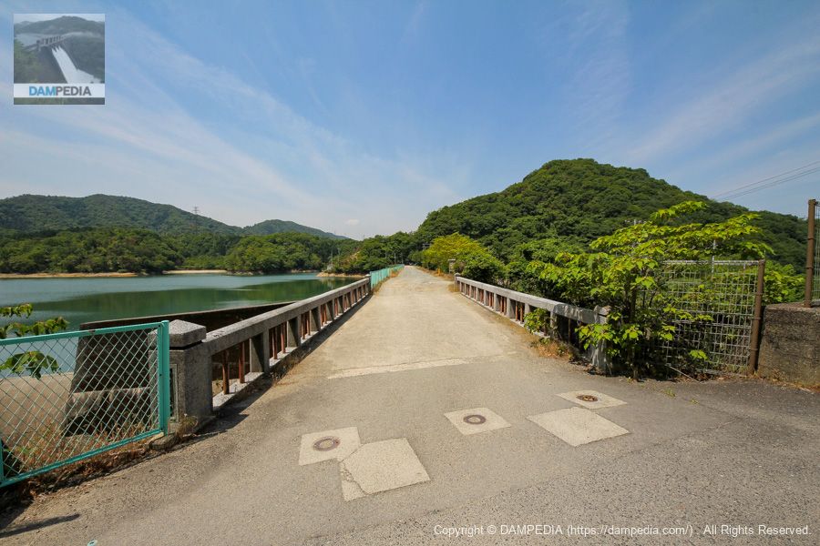
View of the Inakura Bridge over the spillway and the top of the bridge from the right bank.
The top end of the bridge is open to automobile traffic, but it dead-ends at this point. There are traces of poles and blocks in front of the bridge, so it is possible that automobile traffic was previously prohibited.
View of the upstream spillway from the Inakura Bridge
It is said to be the largest irrigation reservoir in Izumisano City, and the size of its residual water discharge is quite impressive. Incidentally, Inakura Pond has been designated as one of the "100 Greenery Ponds of Osaka" established at the time of the International Garden and Greenery Exposition.

Looking downstream from the bridge over the spillway
For some reason, a portion of the road ahead is culverted.
Downstream side of the dike from the right bank? View of the downstream face of the embankment from the right bank
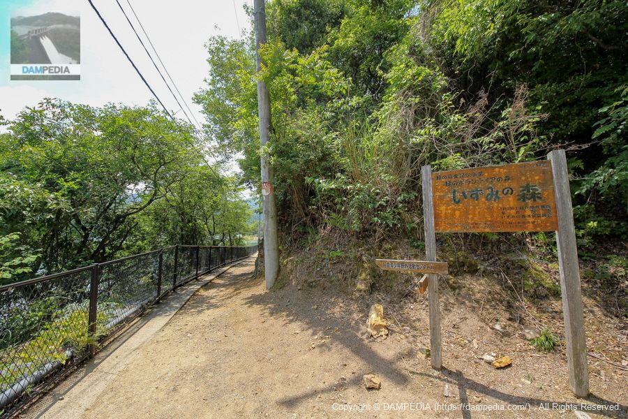
The downstream face of the atmosphere is not dam-like at all. The ground extends a little lower just below the embankment. It is said to be a rock-fill dam with an embankment height of 32.2 m, but it appears to have been filled in like the pond at Shintaki. A path on the right leads to a log cabin called "Inakura no Sato.
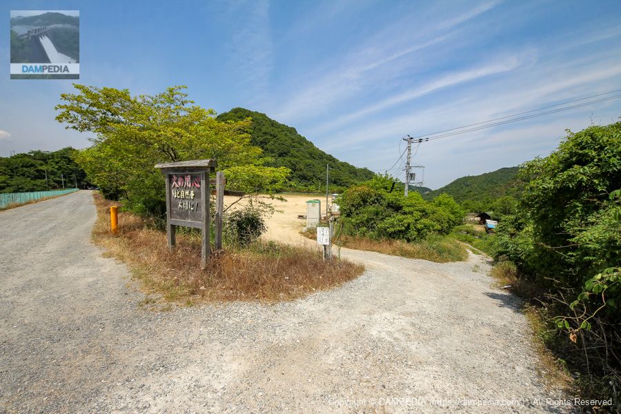
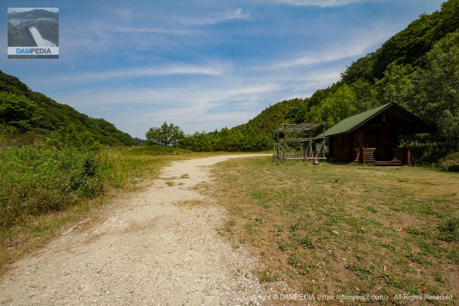
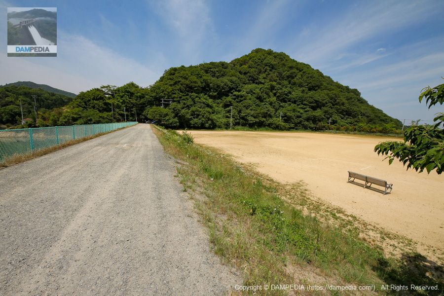
Gathering square and log house "Inakura-no-sato
It is a gathering plaza, but it seems to be a parking lot. It is not clear what the log cabin is used for, but I guess it is a sort of administration office for the teacher who is leading the group.
Izumi no Mori Satoyama Map
Around Inakura Pond, a satoyama seems to be preserved as "Izumi no Mori" (forest of mountain work, forest of shiny-leaved trees, forest of health, and forest of life).

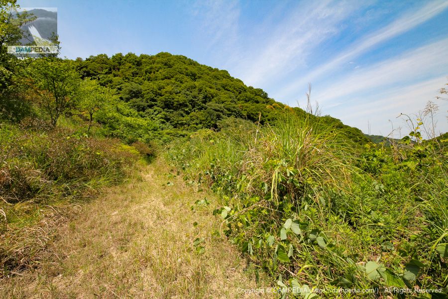
Walking around the area
I thought the downstream face of the levee was further downstream of the ground (sports square), and from here I strayed as far as I could.
Walking around the area Part 2
It couldn't be, it was just dense vegetation.
View of the downstream conduit from the right bank
Return from the log cabin to the levee. We will be at the entrance portion of the culvert, where we came all the way downstream from the spillway.
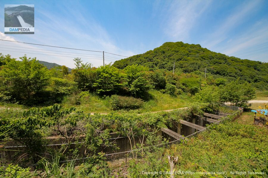
View of the top edge and downstream face of the dike from the right bank
The embankment height is 32.2m, but it seems to have been filled in by the ground (sports square). I think it will increase the stability of the dam, but it does not look like a dam, which is a bit disappointing. Moreover, it is a rock-fill dam, but it looks like an earth dam.
View of the top edge from the left bank
If a stranger saw it, they wouldn't think it was a dam.
View of the upstream face of the embankment from the left bank
The reservoir side is shielded by concrete.
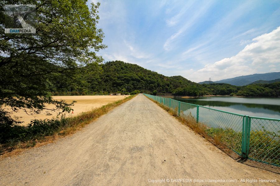
left bank (of a river) walking path
After passing through the top edge, the trail leads to a walking path from which one can only proceed on foot or by two-wheeled vehicle.
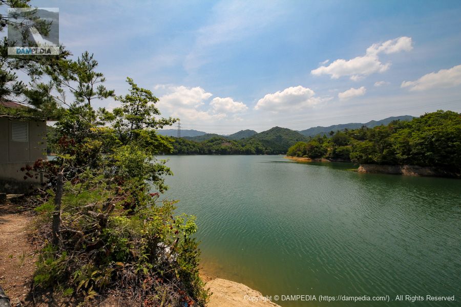
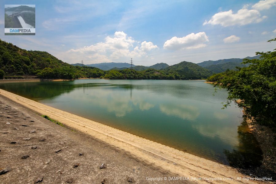
View of the dam lake from the left bank walking path
There are also people enjoying fishing at the dam lake.
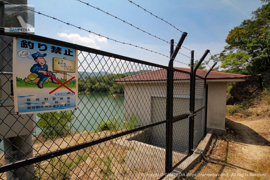
Slant-flume intake system
There is a slant-flume water intake facility on the left bank. This would be the starting point of the Inakura Pond water pipeline. There is also a sign that says "No Fishing"... Apparently, fishing used to be allowed, but it has been prohibited since sometime ago.
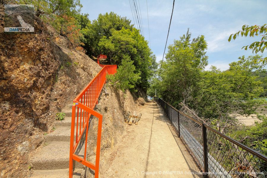
Stairs to Ryuoh Shrine
Climbing the stairs with the red railing on the left, you will find the Ryuoh Shrine, which is dedicated to praying for safety during the construction of Inakura Pond and to protect the pond. For some reason, however, I did not go up there at that time. In retrospect, I regret that I should have climbed the stairs.
View of the dam lake from the left bank
Inakura Pond was a bit unusual in that it was a rock-fill dam but had an earth dam-like appearance, and the downstream side was filled in with ground, which lowered the apparent height of the embankment.
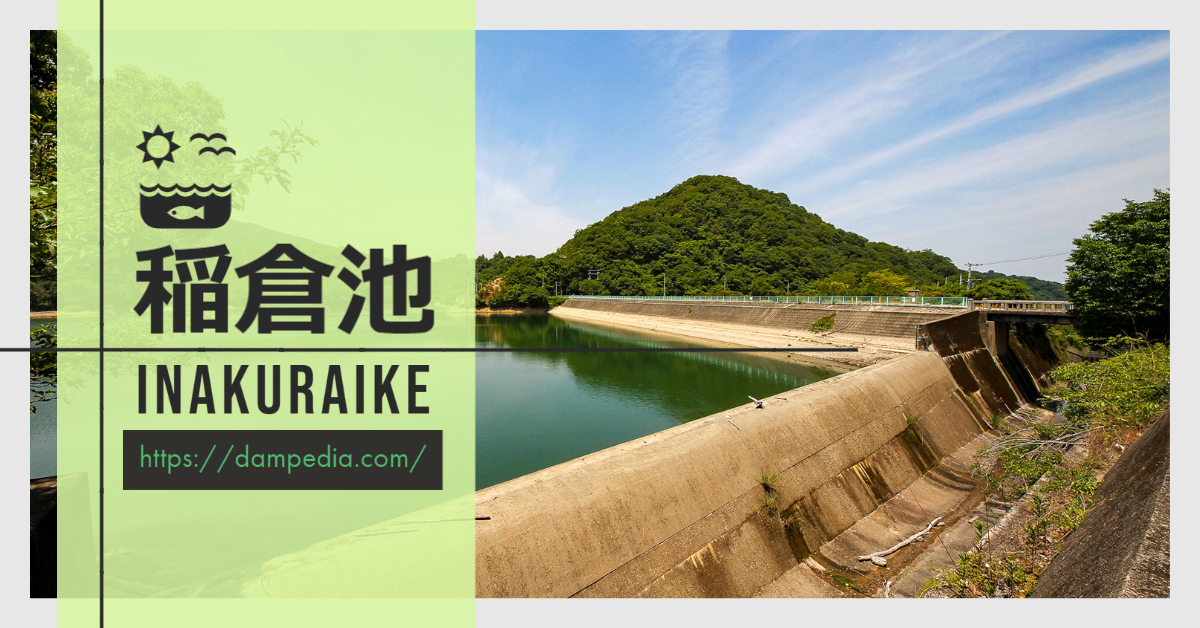
Inakura Pond
| Location | Inakura, Hineno-cho, Izumisano-shi, Osaka |
| River Name | Inakura River, Sano River system |
| Objective | A (irrigation water) W(Water for water supply) |
| Model | R (Rock-fill dam) |
| Bank height | 32.2m |
| Bank length | 173.1m |
| Dam volume | 220,000 m3 |
| Watershed Area | 4.4 km2 |
| Reservoir area | 14 ha |
| Total storage capacity | 1,283,000 m3 |
| Effective water storage capacity | 1,183,000 m3 |
| Dam operator | Osaka (metropolitan area) |
| Main body constructor | Yawata Construction |
| Year of launch | 1942 |
| Year Completed | 1957 |
| Name of Dam Lake | Inakura Pond |
Other facilities/observations
| Parking lot | ○ |
| Toilet | × |
| Park | ○ |
| PR Exhibition Hall | × |
| Fishing | × |
Comment