
Date of interview: Sunday, 04/20/2014
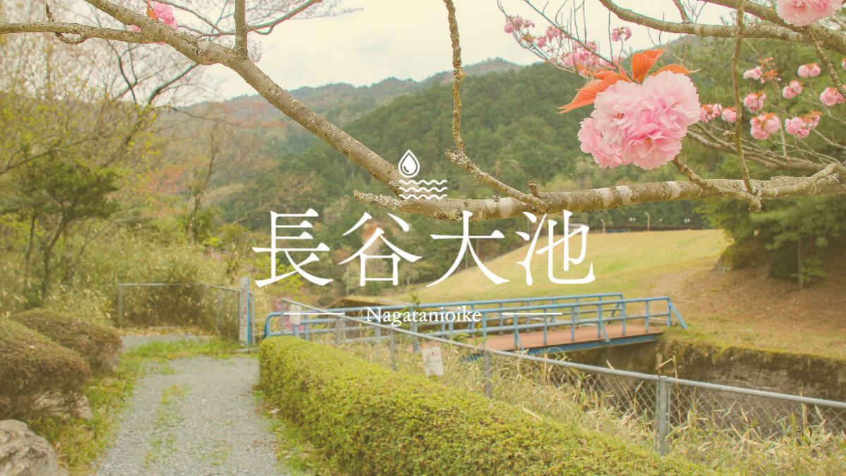
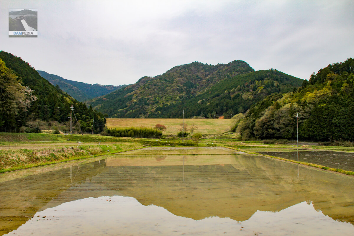
The Hase Great Pond was the last stop on our tour of dams in the Tamba region that day. Hase Great Pond is an earth dam for irrigation only, and is a typical agricultural dam and reservoir with rice paddies spreading downstream. However, a stone monument at the site reveals the history of the hardships involved in its construction. The construction of Hase Great Pond was also affected by the Pacific War.
Hase Oike Monument (calligraphy by Governor Masaru Sakamoto)
The following is the local inscription verbatim.
The rivers that flow through this area are steep and mountainous and close to their sources, so that even when it rains, the water supply is always scarce, and water sources such as wells and reservoirs are always in short supply due to their small size. The drought that hit the area in the summer of 1939 caused enormous damage to 612 hectares of rice fields in the area, amounting to 5,000 kilograms of rice, and the village authorities and residents concerned joined together to petition the government for permanent measures against drought damage. In September 1941, the Ministry of Agriculture and Forestry granted permission for the construction of a reservoir and a trunk canal, and construction work began in February of the same year under the management of Hyogo Prefecture. However, the Greater East Asia War intensified and the shortage of labor and materials led to a reduction of the project due to an emergency order in April 1942. However, the Great East Asia War became more and more intense, and due to the shortage of labor and materials, the project was finally halted in April 1942 due to the emergency measures ordered in April 1942, and then in December 1946, when the war ended, it was decided to continue construction according to the original plan again and the project was re-started. Since then, in the chaotic situation immediately after the defeat, prices continued to rise and we faced many hardships such as material shortage. The Nakamura Corporation, the constructor of the project, made great sacrifices with extremely tragic determination, and the main body of the project was transferred from the arable land consolidation association to the Kuniryo Village Land Improvement District in 1953, and the reservoir construction was completed after 17 years of hard work. It is a matter of great joy for the development of the region that this great project of our time, which had been difficult due to obstacles, was completed with the understanding and cooperation of the residents concerned, thanks to the enthusiastic guidance of the authorities of the Ministry of Agriculture and Forestry and Hyogo Prefecture, the former Kuniryo Village, and the unremitting efforts of the various organizations of Kasuga Town after the merger, and was saved forever from the drought conditions that prevailed.
Hase Oike Monument (original in Japanese)
This is why a monument was erected to commemorate this event and to inscribe its outline so that it may be handed down to future generations.
August 1957 Shigesuke Harada, Chairman of the Board of Directors, Southern Yamato Land Improvement District

Incidentally, the top edge is unfortunately off limits to visitors.
View of the downstream face of the dike
Now, here is the downstream side of Hase Great Pond. It is really a peaceful atmosphere.
left bank parking lot
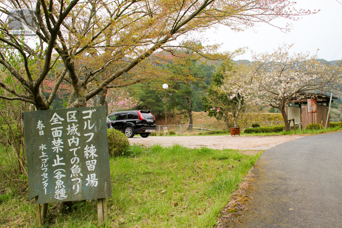
Hase Great Pond has a golf driving range on the right bank, which seems to be a style of hitting toward the reservoir, but it did not seem to be already in operation at this time. For some reason, I realized that I did not take a picture of the driving range seen from the left bank, but I remember that it looked half-abandoned.
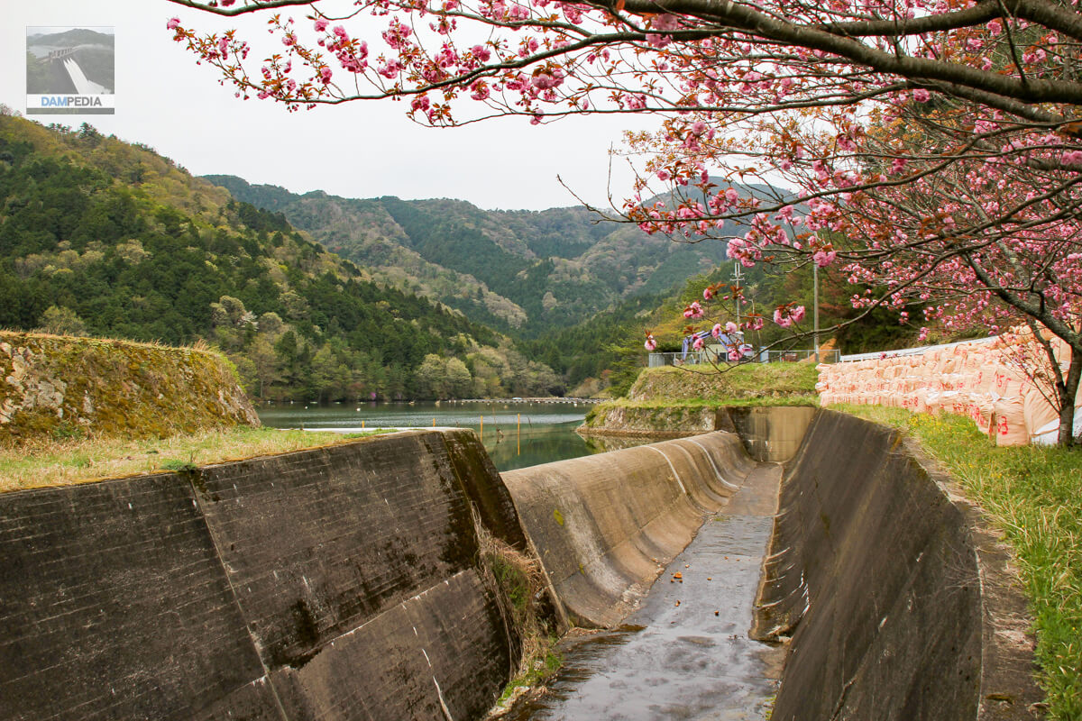
View of the spillway from the left bank
The spillway of the Hase Great Pond is a side channel system, which is common in earth dams. The tonnage packs piled up on the right side of the photo were after temporary restoration of the slope on the left bank at the far right side, which had collapsed. The double-flowered cherry tree with petals still remaining is beautiful but somewhat painful.
Glimpsed at the back of the reservoir is the Hase Oike Fishing Pond Center, where spoonbills and wakasagi can be caught.
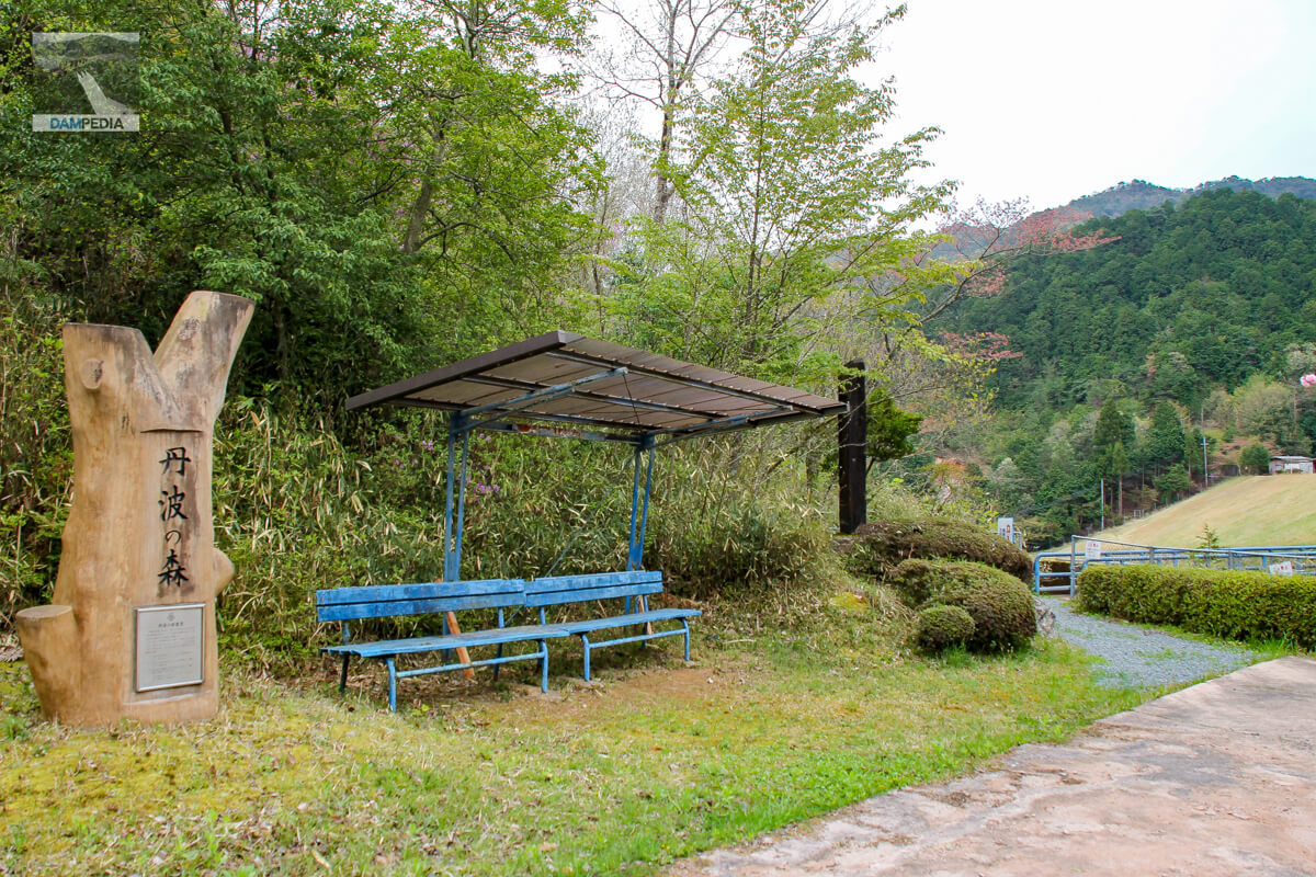
Signs and benches in Tamba Forest
Later, I noticed that there is an elevated area on the left bank with a view of the levee and a pavilion.
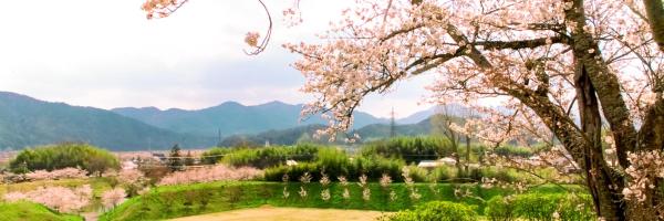
double cherry blossoms
The double-flowered cherry blossoms are beautiful, but the levee seems to have been neatly mowed as well. It is a pity that it is off-limits.

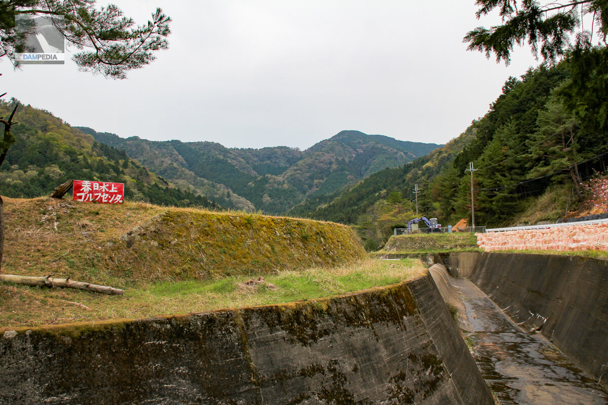
Signboard of Kasuga Suijo Golf Center and surplus water discharge
The aforementioned driving range is called Kasuga Suijo Golf Center, and the sign is quite tasteful. It is not supposed to be in business, but the sign seems to be intact.
The stone monument gave us a glimpse of the hard work that went into the Hase Great Pond.
Hase Great Pond
| Location | Kuniryo, Kasuga-cho, Tamba City, Hyogo Prefecture |
| River Name | Yura River system Kokuryo River |
| Objective | A (irrigation water) |
| Model | E(earth dam) |
| Bank height | 22.1m |
| Bank length | 228m |
| Dam volume | 207,000 m3 |
| Watershed Area | 2km2 |
| Reservoir area | 5 ha |
| Total storage capacity | 483,000 m3 |
| Effective water storage capacity | 435,000 m3 |
| Dam operator | Hyogo prefecture (Kinki area) (Hyougo) |
| Main body constructor | Nakamura Group |
| Year of launch | 1942 |
| Year Completed | 1957 |
| Name of Dam Lake | Nagatani Oike Pond |
Other facilities/observations
| Parking lot | ○ |
| Toilet | ○ |
| Park | ○ |
| PR Exhibition Hall | × |
| Fishing | ○ (only available at the Hase Oike Fishing Pond Center) |
Map around Hase Oike Pond
Weather around Hase Great Pond
Accommodations that may be close to Hase Great Pond
Comment