
Date of interview: Saturday, 06/08/2013
I had an event in Osaka that day, and I decided to visit a dam in the southern part of Osaka Prefecture until the event started, so I came to Shintaki no Ike. The stone monument at the site is called "Shintaki-no-ike," and on maps it is sometimes referred to as "Shintaki-noike. I had been curious about this dam from various dam enthusiasts' blogs and websites. It was because...
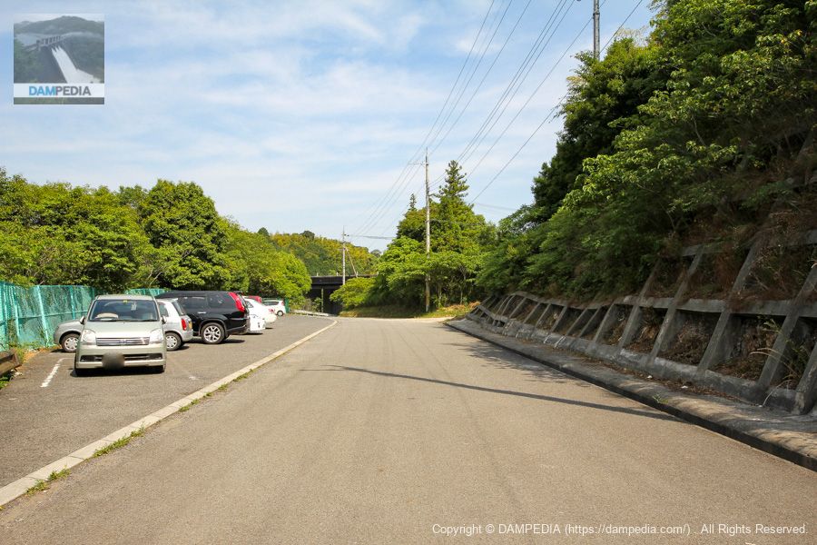
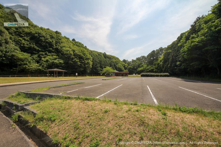
Parking lot downstream on the right bank
Shintaki Pond is equipped with a parking lot. The parking lot is almost full! It must be a place of relaxation for Osaka residents.
No Entry for General Vehicles
No public vehicles are allowed to enter the dam site, so park your car in the parking lot and walk to the site. There is also an earth dam called Takino Pond located behind Shintaki Pond, which will also be visited.

View of the top edge from the right bank
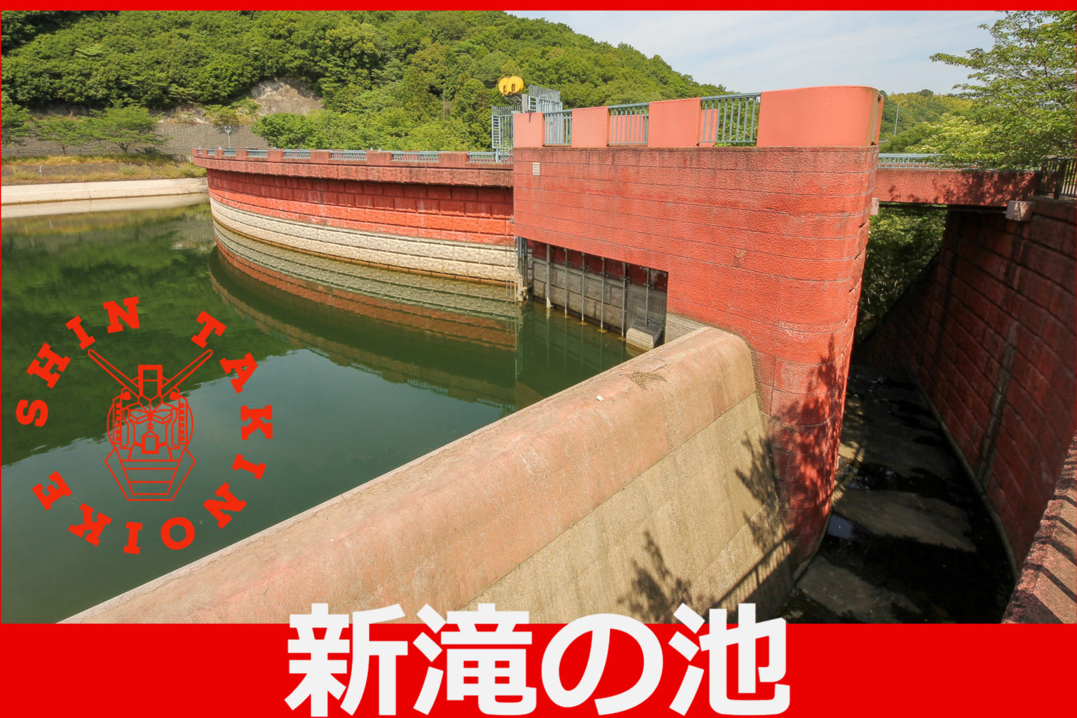
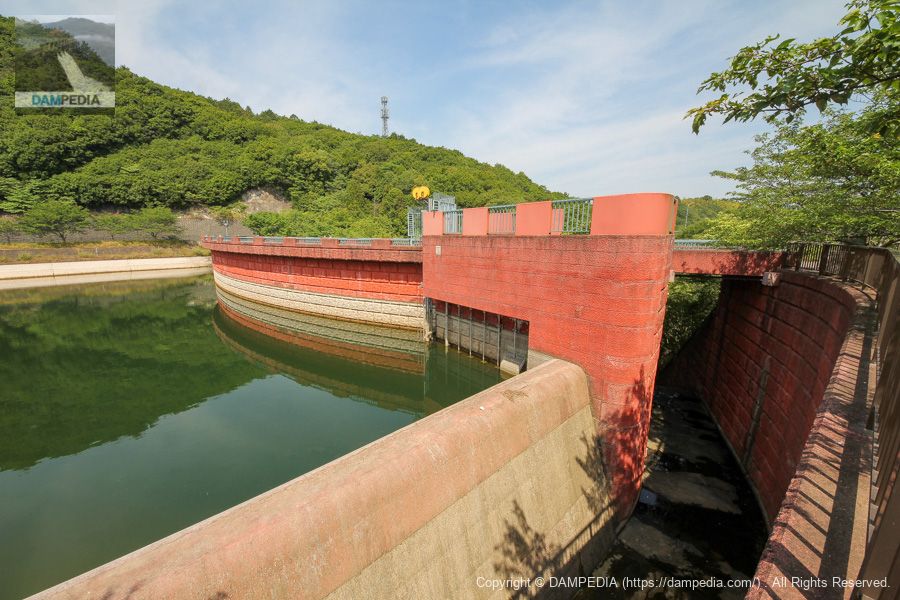
You have arrived at the dam site. Doesn't something look strange? The top end is curved? Well, the fact that it is a gravity-type concrete dam with a curved top is certainly an uncomfortable point, but that's not the point, is it? By the way, I am not talking about the dog on the left 😁.
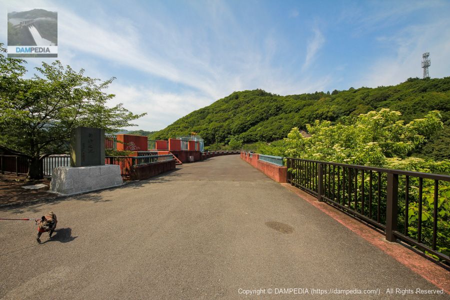
Stone monument by then Governor Nock Yokoyama
Younger people may not know this, but Nok Yokoyama, a former Yoshimoto comedian and member of the House of Councilors, became governor of Osaka Prefecture in 1995, the year Shintaki no Ike was completed.
I was often told by my parents that it was bad luck to use red letters in my name. Yokoyama Nock was accused of indecently assaulting a female university student during his election campaign, and was forced to resign as governor and eventually banned from the entertainment industry as well.
Although Mr. Yokoyama has already passed away, it must have been a great honor for his name to be inscribed in this way, albeit in the red.

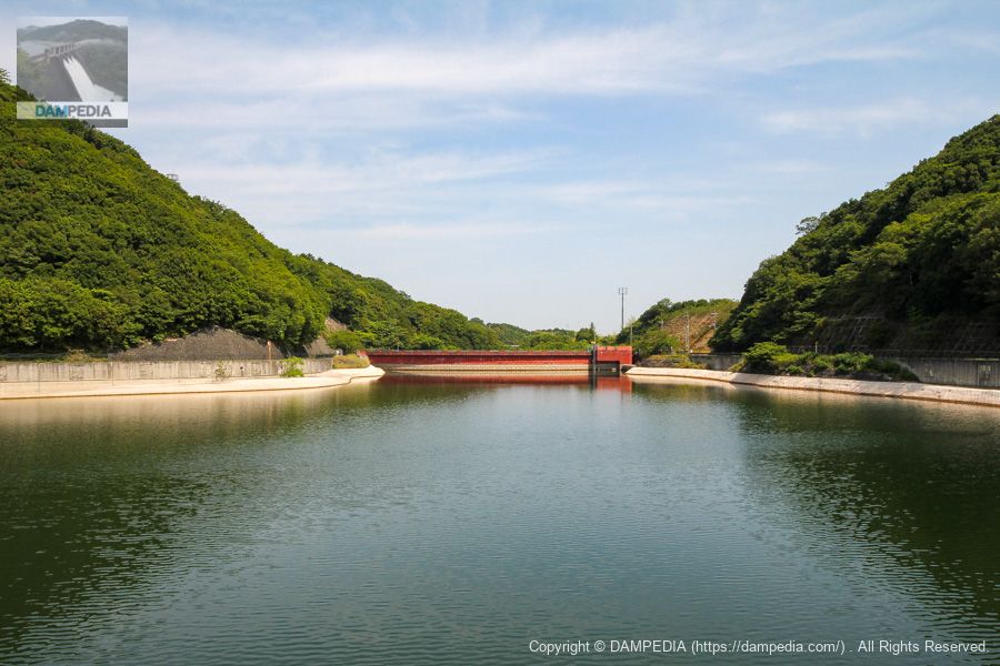
View of the flood discharge from the top
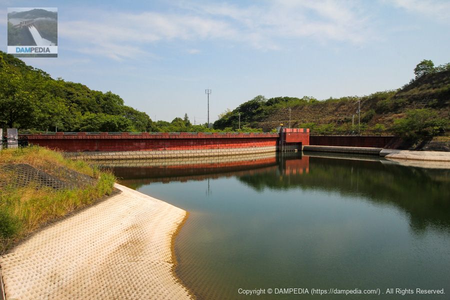
And some of you may have already noticed it. This Shintaki Pond has a red embankment. Because of its redness, it was often called "Char's dam. I don't think it is ......... that the amount of water discharged is three times faster or larger than usual.
It is said that the red color was chosen because of its beauty in the green surroundings, but it is also said that the color was intended to resemble the image of the Nanzenji Suijikaku (Waterway Pavilion) on Lake Biwa's Lake Biwa estuary.
The color of the embankment is not the only thing that is unusual. Although it is a gravity concrete dam, the flood discharge is of the side channel type, just like a fill dam. The name of the dam is "Shintaki no Ike," which sounds like an earth dam.

Terrace at the top end? View of the
Right bank sideTop (Crest)The terrace, or rather a little observation deck, is located adjacent to the flood discharge. I am not so sure about the graffiti on it. Incidentally, this terrace-like structure is located above the water intake facility and does not seem to have been simply elevated as a terrace.

View of the flood discharge from the terrace
You can see that the upper part of the flood discharge overflow is also faintly reddish. Still, looking only here, it looks like an earth dam or a rock-fill dam. There are benches around the area, which is nice.
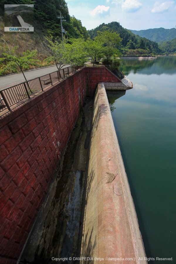
View of the flood discharge and the upstream face of the embankment from upstream on the right bank
You can see the pipe at the bottom of the terrace, which is a slant-flume intake system. Also, the red area is halfway up and at a certain depth (probablynormal level of water supplyFrom the top to the bottom, it's white or beige.
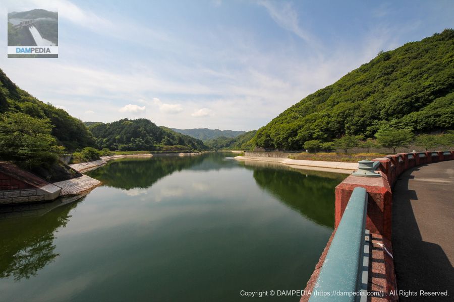
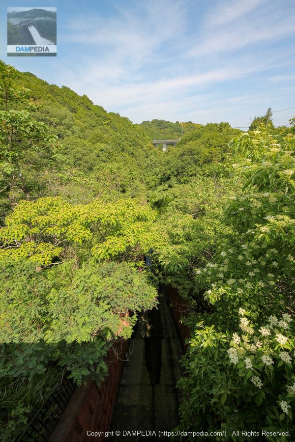
View of the dam lake from the top
It is not a very large dammed lake, so the backwater is easily visible.
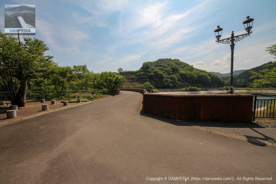
Only the pedestal of the light is left behind on the high column. It seems to have been destroyed. There was a gate right next to the parking lot, but it seems that entry is now restricted due to the destruction of these lighting fixtures. There was also a restroom, but it seems to have been destroyed and is now closed. I don't know if it is the nature of the area or what, but it is really unforgivable.
View of the top edge from the left bank
We came to the left bank. There is a fashionable light, and I guess the same light must have been installed at the top end.
View of the upstream face of the embankment from the left bank
It appears that the dam lake revetment barrier has been constructed quite well. Was the original geology of the area permeable to water?
Downstream view of the levee from the left bank
I don't see it at all😓.
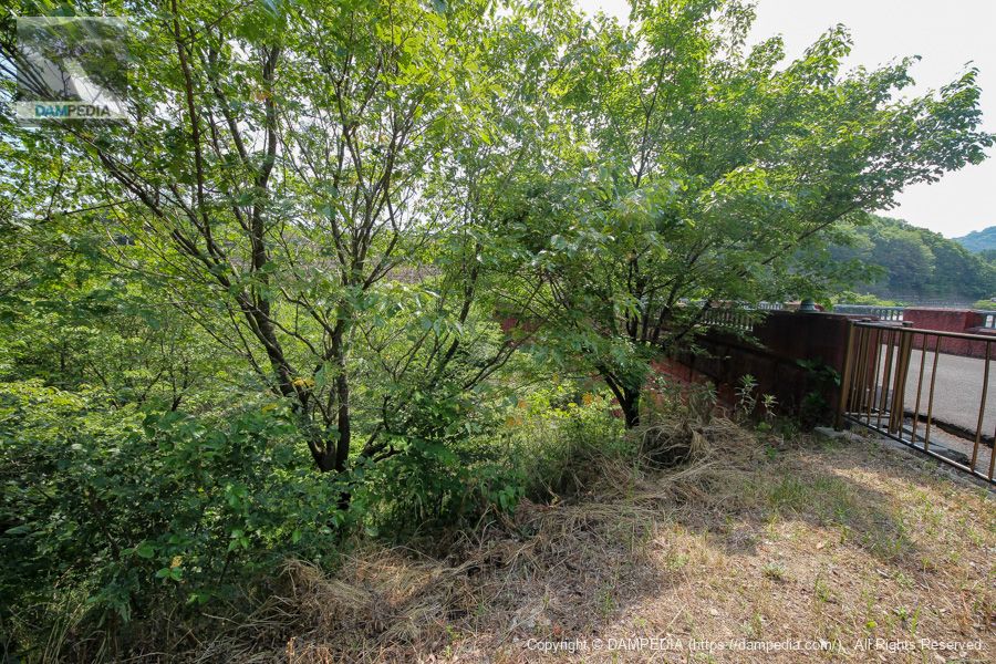
Looking downstream from the left bank
Almost invisible😓.
However, most of the downstream side of the river was filled with soil left over from the construction. This is why the downstream side of the river has been covered with so much vegetation.
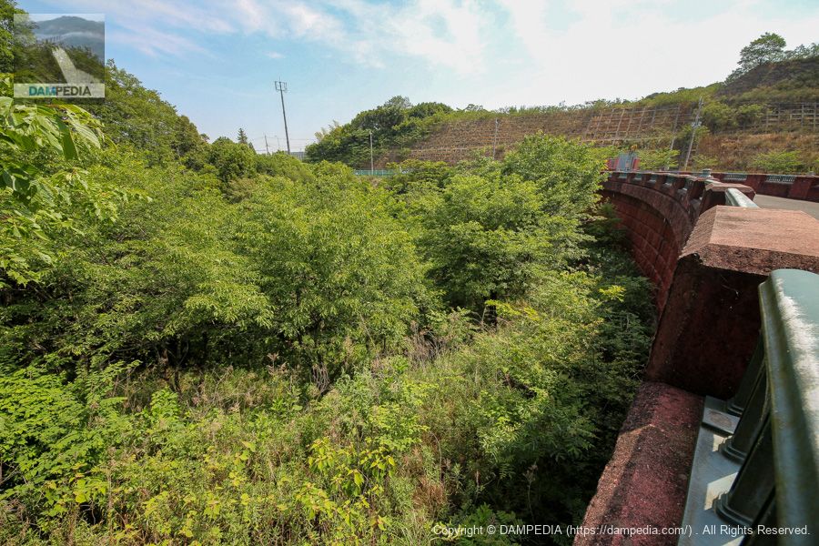
Looking downstream from the bridge above the flood discharge
This kind of situation is common in earth dams 😁.
The embankment is a gravity-type concrete dam, but because it is used for irrigation water, it has a slant-flume intake system and a side channel system.Flood dischargeThere are elements here and there that suggest an earth dam, such as the embankment downstream. Although the circumstances are unknown, it is likely that the original plan was to build an earth dam, but due to the geological conditions, the plan was changed to a gravity concrete dam.
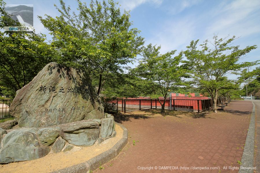
Stone monument on the right bank
The area around the dam lake is maintained as a walking trail. After taking a look at the area around the dike, we will go upstream to Takino Pond from the walking path on the right bank.
This is the stone monument of the mayor of Izumisano.
Parking lot and restrooms on the right bank
Originally, it was also maintained as a park, complete with a parking lot and restrooms. However, the entrance is closed by a gate and the restrooms are now closed. The lawn was also roped off at that time, so it must have been vandalized by heartless people.
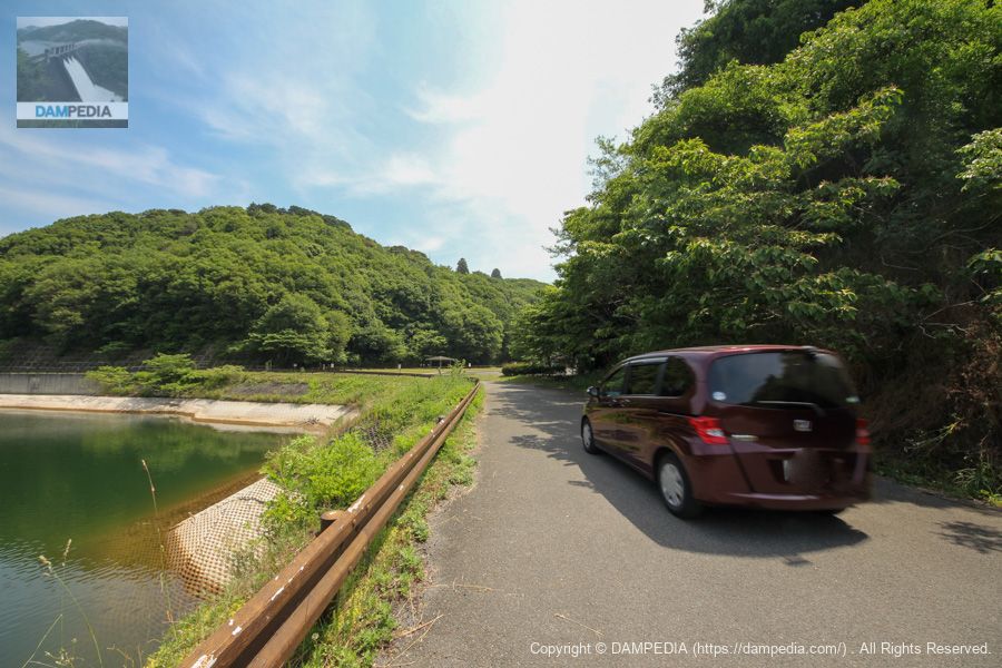
Automobile traffic...what the heck!
Suddenly, a car drove down the lakeshore road. This road is off-limits to the general public. It didn't look like a manager to me, but now... it's a mystery.
View of the upstream face of the embankment from the walking path on the right bank
Looking at it again like this, you can see that the coloring of the dam is quite unusual. Moreover, even though it is a gravity concrete dam, the curve of the dam makes it look as if it is dammed by an arch dam.
It was the pond of Shintaki, a red gravity concrete dam that looked like an earth dam in every way.
Shintaki Pond Specifications
| Location | Kaminogo, Izumisano-shi, Osaka |
| River Name | Kashii River system Kashii River |
| Objective | A (irrigation water) |
| Model | G(gravity-fed concrete dam) |
| Bank height | 26m |
| Bank length | 105m |
| Dam volume | 21,000 m3 |
| Watershed Area | 3.5km2 |
| Reservoir area | 7ha |
| Total storage capacity | 500,000m3 |
| Effective water storage capacity | 480,000 m3 |
| Dam operator | Osaka (metropolitan area) |
| Main body constructor | Taisei Corporation, Okumura Corporation, Mitsui Construction Co. |
| Year of launch | 1988 |
| Year Completed | 1995 |
| Name of Dam Lake | - |
Other facilities/observations
| Parking lot | ○ |
| Toilet | ×x? |
| Park | ○ |
| PR Exhibition Hall | × |
| Fishing | ○ |
Comment