
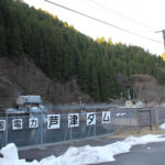
Location: Kawakami, Mimasaka City, Okayama Prefecture
Date of interview: 2011/04/04 (Monday)
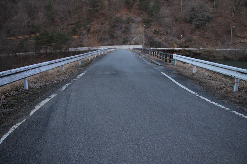
View of the top edge from the left bank
I heard a rumor that they were going to do a test release, so I headed there.geomembrane damThis is an earth dam owned by Okayama Prefecture, which we stopped by on our way to This is the first time to introduce a dam in Okayama Prefecture on this site. It is also my first time to visit a dam in Okayama.
View of the levee downstream from the left bank
From the name, it is also somewhat confusing because it shares the same name as a dam under construction in Mie Prefecture (as of September 2013) and a dam in Yamaguchi Prefecture.

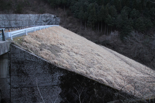
View of the dam lake from the top
As I recall, it was calculated to be 6 hours from my house to the Tono Dam, so I left right after work. The time stamp on the first photo is 5:40 AM early in the morning. Sorry for the dark picture as it is still before sunrise.

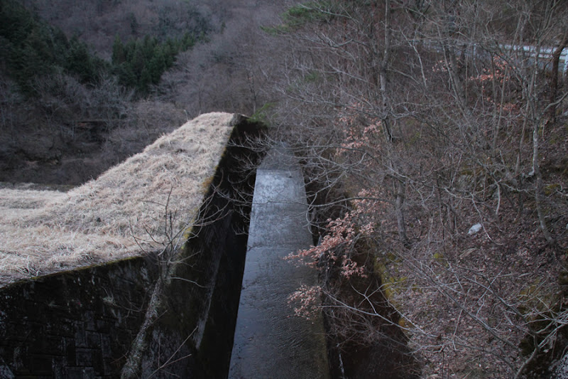
View of the flood discharge from the top
Well, it is a very ordinary agricultural reservoir. The flood discharge is of the free overflow type typical of earth dams.
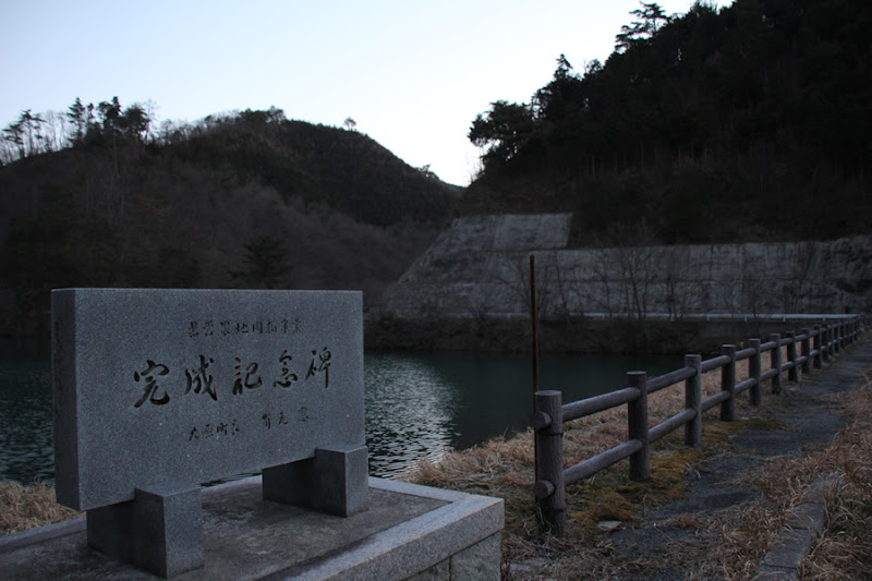
View of the completion monument and dam lake from the top
The completion monument is located at the top end, not at the dam site. The earth dam is an agricultural treasure.
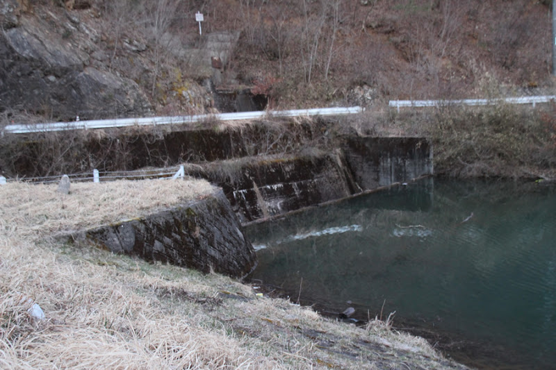
View of flood discharge
A little bit of water was flowing.

View of the conduit
This dam is high for its type. The ledge also looks like a long ski jump ahead.
View of the levee downstream from the right bank
I remember that even though it was early spring, the temperature was still about 3 degrees Celsius at this time. Since the downstream surface is beautiful at this time, I am sure it is a beautiful green and not rough in the summer as well.

View of the top edge from the right bank
The top edge is open to automobile traffic. At this time, we approached from Route 429 and returned the way we came, but it seemed that a road was connected to Route 373 beyond this top. If you are heading toward Tottori, it may be a better shortcut to go that way.
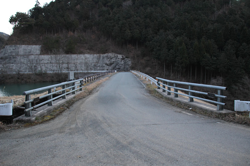
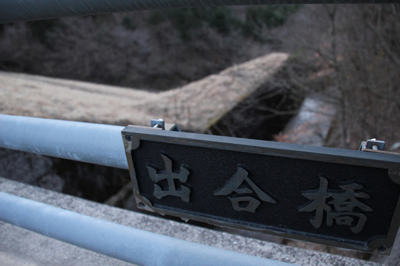
Deai Bridge, a bridge spanning the skyline
This bridge seems to have been replaced in the Heisei era.
View downstream from the top
The conduit is well built, so the grounding area seems to be quite heaped up for it. Incidentally, there does not seem to be a point to view from downstream.

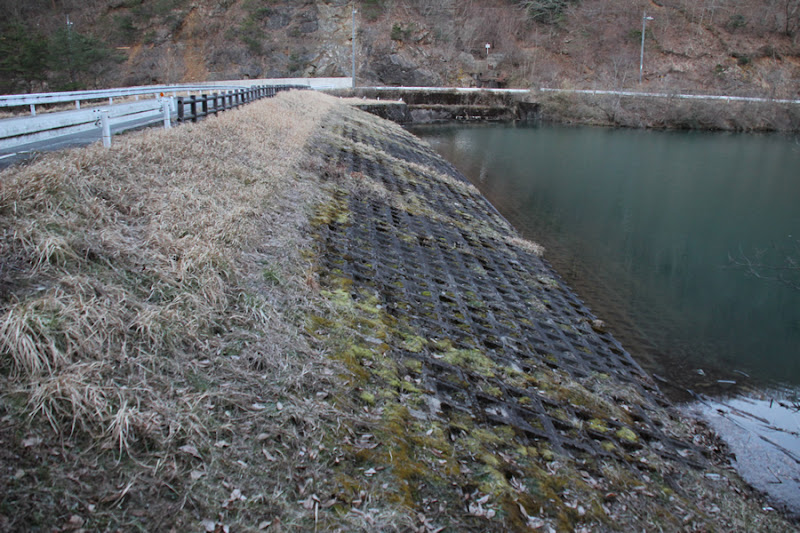
View of the embankment on the lake side from the left bank
A little waffle-y?
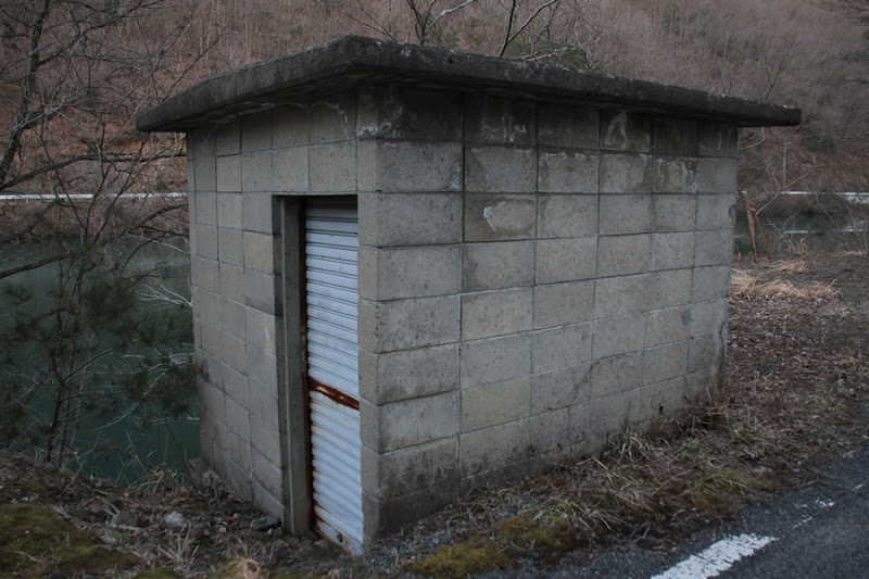
View of the water intake facility building
At a quick glance, it may look like a toilet, but it is the optimal building for water intake facilities given the size of the dam.
View of the slanted gutter
This is another slant-flume intake pipe often seen in earth dams.
...After leaving the Kawakami Dam, we drove toward Tottori.

Kawakami Dam Specifications
| River Name | Yoshii River System Kawakami River |
| Objective | irrigation water |
| Model | earth dam |
| Bank height | 24m |
| Bank length | 83m |
| Dam volume | 69,000m3 |
| Watershed Area | 2km2 ( Direct: 2km2 ) |
| Reservoir area | 4 ha |
| Total storage capacity | 251,000m3 |
| Effective water storage capacity | 239,000m3 |
| Dam operator | Okayama prefecture (Chuugoku area) |
| Main body constructor | Aisawa Kogyo |
| Year of launch | - |
| Year Completed | 1967. |
Other facilities/observations
There is space for a regular car to park, but please use common sense in your visit.
| Parking lot | △ |
| Toilet | × |
| Park | × |
| PR Exhibition Hall | × |
| Fishing | ○? |
Map around Kawakami Dam
Weather around Kawakami Dam
Accommodations that may be close to Kawakami Dam
Comment
Haruhiko Ando liked this on Facebook.