
Date of the interview: Sunday, September 16, 2012
From Ichijoki Dam, we went further north through Lake Tazawa and came to the Armorhata Dam. There are many other dams in the area, but we have picked out the ones that we have visited, referring to the opinions of our fellow passengers who have been to this area before, so you may wonder, "What? Why don't we go to that dam? (laugh).
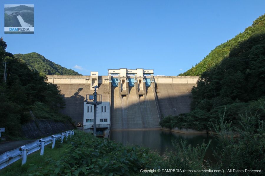
View of the levee downstream from the right bank
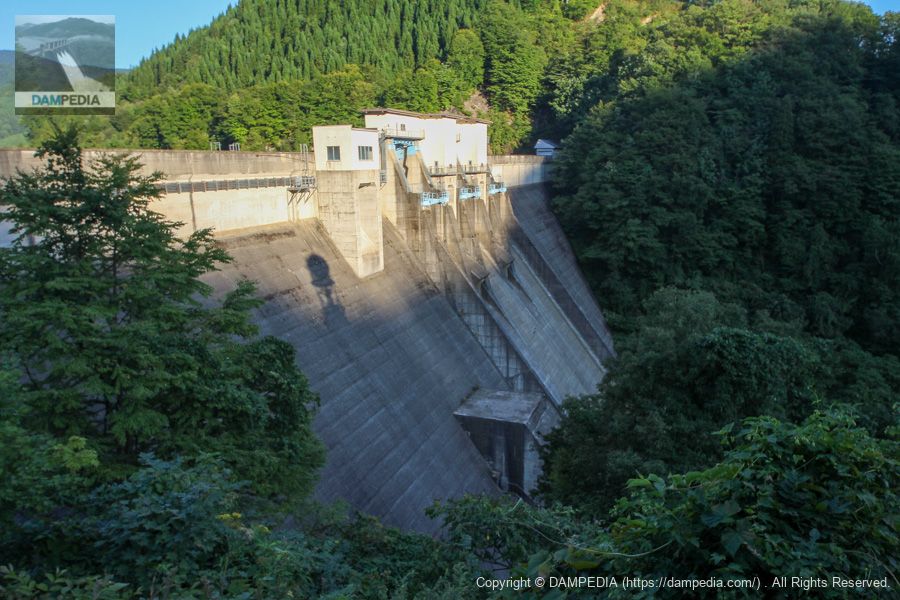
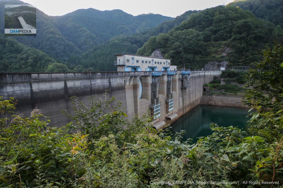
Armor Field Dam has three radial gates in the crest, two roller gates in the orifice, and a water diversion and discharge facility.
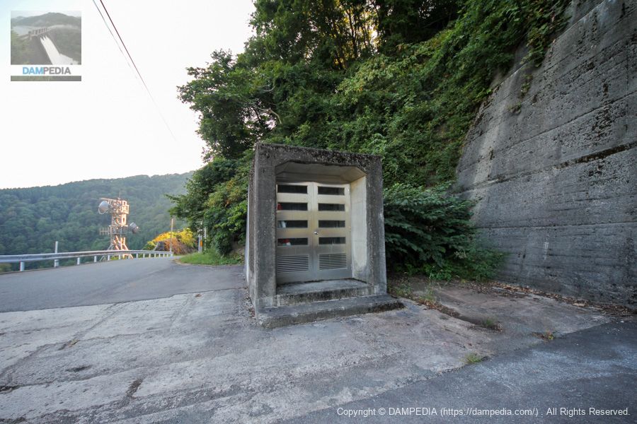
Audit corridor entrance?
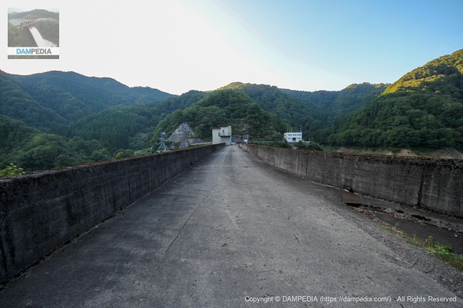
We have moved to the top level of the right bank. It looks like the entrance to the audit corridor, but is it?
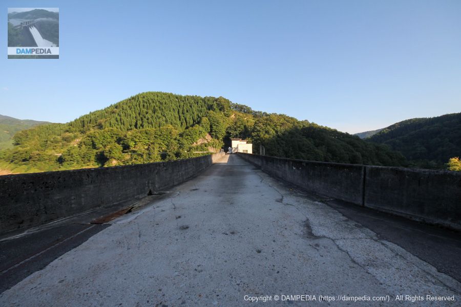
View of the top edge from the right bank
The top end is simple, as is typical of a prefectural dam.
View of the levee downstream from the right bank
It is a common gravity concrete dam design, but the Armor Field Dam is much more than what it looks like on the inside.
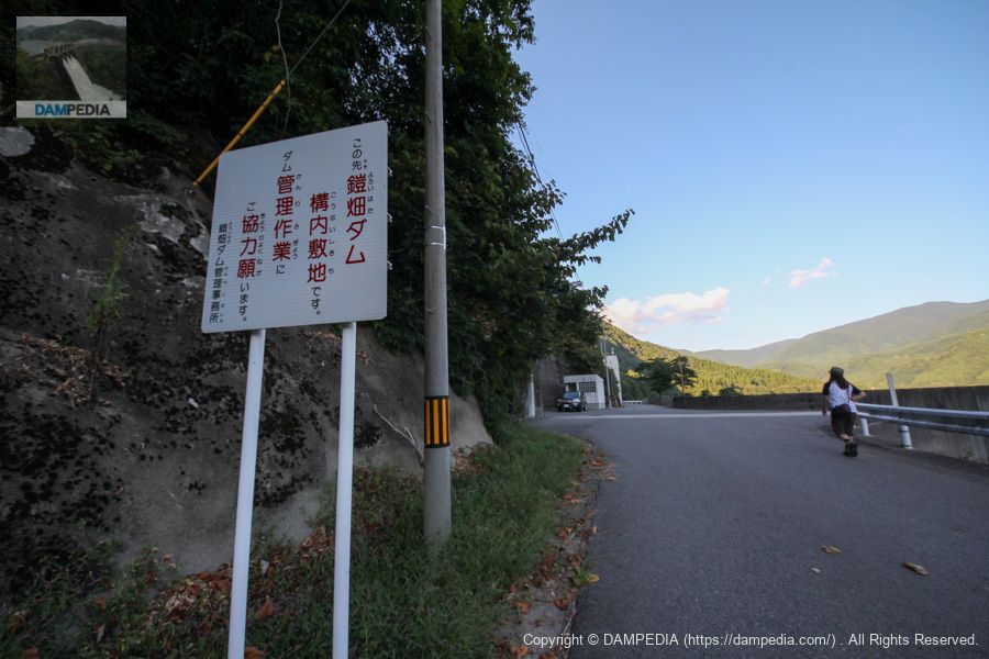
Around the dam site on the right bank
There is also a parking lot on the right bank with restroom facilities.
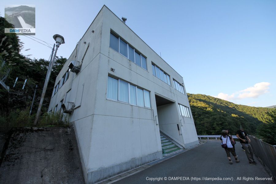
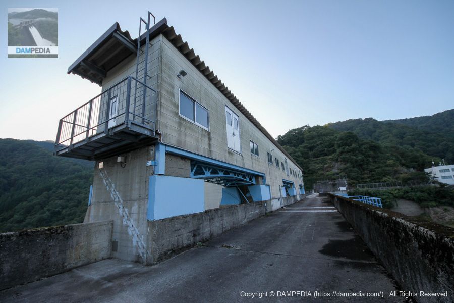
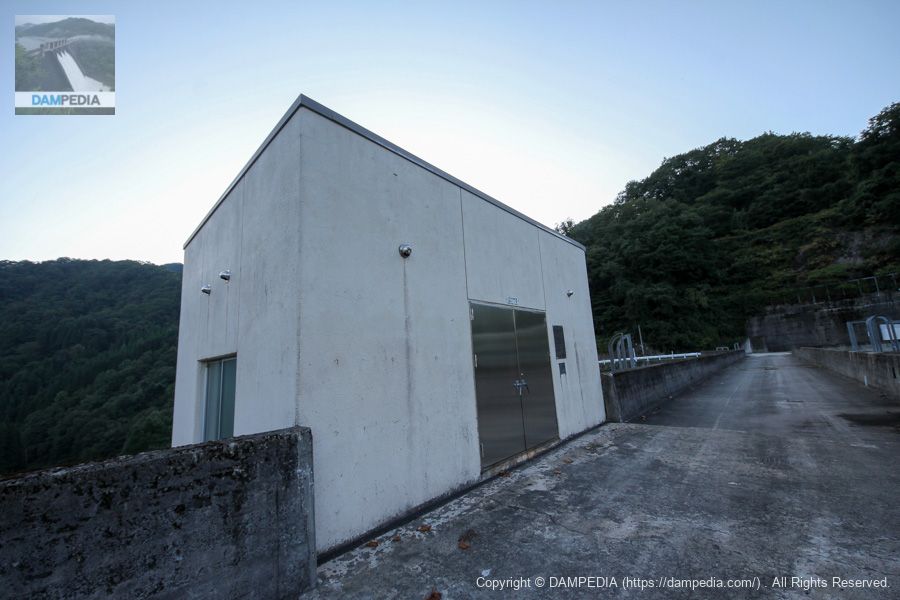
Akita Prefecture Armorhata Dam Management Office
This is another standard office that is typical of the prefectural government.
View of the upstream bank from the right bank
The low water level makes it easy to see the location of the gate.
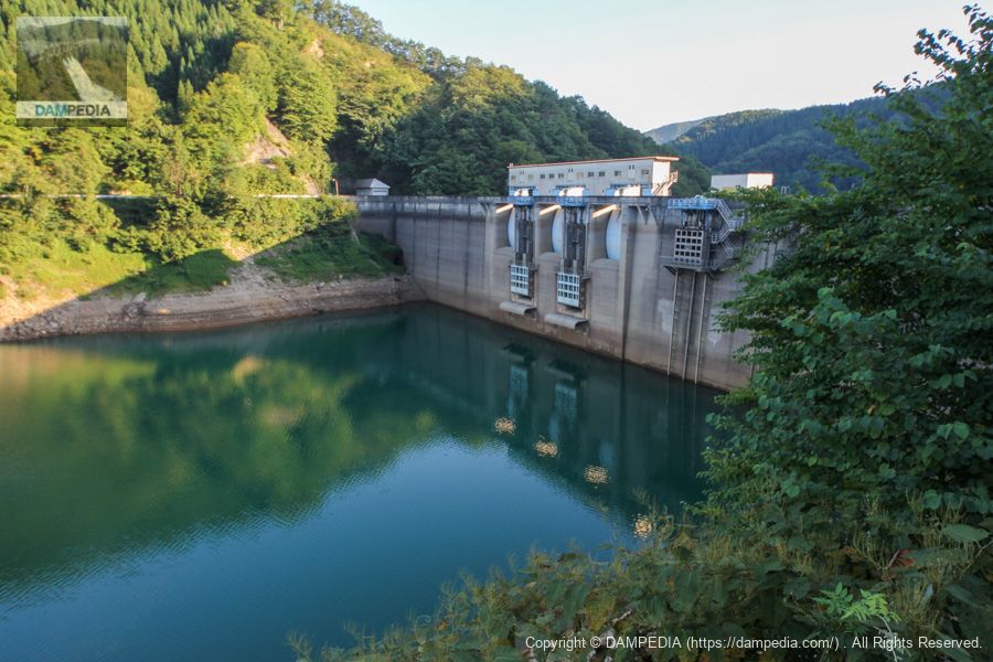
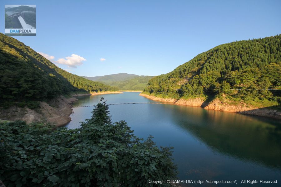
View of the dam lake from the right bank
This is a view of the dam lake from the side of the control center. The Tamagawa River, which flows into the dam lake, is originally a highly acidic river, but it has been neutralized with lime at Hosenko Lake in the Tamagawa Dam upstream, which is why the dam lake is cobalt blue, but unfortunately it was dark green on the day we visited.
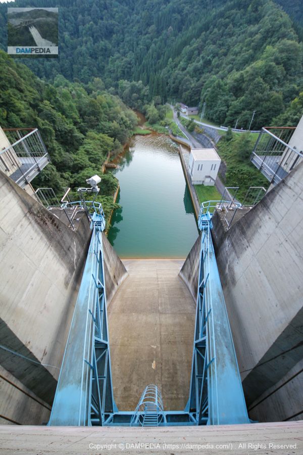
View downstream from the crest gate
The color of the water in the abatement pond was a beautiful deep green. Incidentally, before the Tamagawa Dam upstream was completed, neutralization was done in the dam lake of the Armor Field Dam, which is why the embankment and gates are acid-resistant.
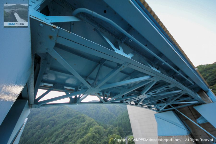
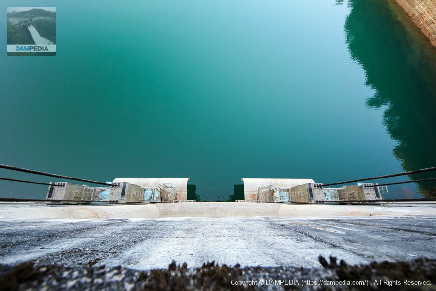
View of Gate Pier from the top edge
It is equipped with a gate winder room on top of the gate pier, making it large as a whole.
Looking up at the gate winder room
The beams are trussed, which is also nice.
View of orifice gate from top edge
This is a view of the orifice roller gate from the top end. The opening and closing system uses a wire rope winch system, and the wire is also designed to be unaffected by acid, so it is not submerged in water. Specifications of the orifice gate are as follows.
Effective span x effective height: 5.8x5.4m
Opening/closing speed: 0.3m/min
Door weight: 47.0t
Date of production: July 1990
Production: Ishikawajima-Harima Heavy Industries Co.
Water diversion and discharge facilities and water control gate room
The water discharge facility is located closest to the right bank, but this was the first such facility in Japan. The Tamagawa Dam, which has water discharge facilities, was constructed upstream, and the Armorhata Dam, which originally had no water discharge facilities, was expanded by making a hole in its embankment while still storing water.
The specifications of the gates for water diversion are as follows
- NO.1 Main gate (high pressure roller gate)
Effective length x effective height: 2.00x2.25m
Production: Mitsubishi Heavy Industries, Ltd. - NO.1 sub gate (high pressure slide gate)
Effective length x effective height: 2.00x2.25m
Production: Mitsubishi Heavy Industries, Ltd. - NO.2 main gate (Jet Flow Gate)
Diameter: 1.00m
Production: Kurimoto Ironworks Co. - NO.2 sub gate (high pressure slide gate)
Effective length x effective height: 0.94 x 1.20m
Production: Kurimoto Ironworks Co. - Water control gate steel sarnitic type
Effective span x effective height: 4.040x4.049m
Opening/closing speed: 0.5m/min
Door weight: 20.0t
Date of production: November 1990
Production: Tahara Manufacturing Co.
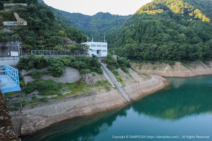
View of the dam control center from the top
A stairway extends from in front of the control center to the dam lake. I assume these stairs are for boarding the patrol boats, but I don't see any boats or floats.
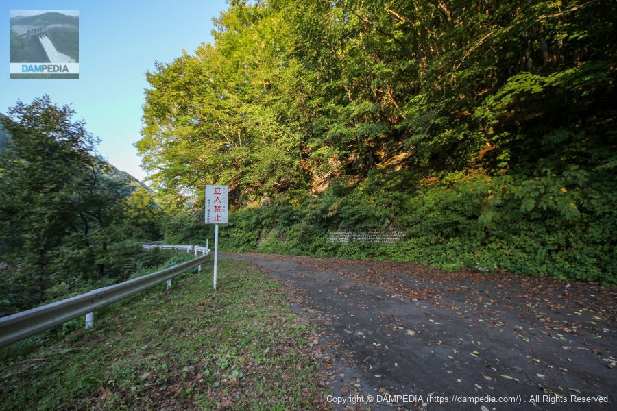
View upstream from the left bank dam site
On the map, it looks as if the road leads to the national road ahead, but it was off-limits.
View of the embankment on the lake side from the left bank
The Armor Field Dam stands quietly as the sun gradually sets.
View of the top edge from the left bank
Although the dam was a little old and very typical of a prefectural dam, it was a dam that made me realize that it was secretly an amazing dam in terms of the technology used to deal with acidity and the technology used to make holes in the embankment while the water was still stored.
Armor Field Dam Specifications
| Location | right bank (shore)Nakayama, Tazawako Tazawa Aza, Senboku City, Akita Prefecture, Japan left bank (of a river): Koganizawa, Tazawa, Tazawako, Senboku City, Akita Prefecture, Japan |
| River Name | Tamagawa River, Yubutsu River system |
| Objective | F (flood control, agricultural disaster prevention) P(Power generation) |
| Model | G(gravity-fed concrete dam) |
| Bank height | 58.5m |
| Bank length | 236m |
| Dam volume | 192,000m3 |
| Watershed Area | 320.3 km2 (direct: 33.3 km2, indirect: 287 km2) |
| Reservoir area | 255 ha |
| Total storage capacity | 51,000,000m3 |
| Effective water storage capacity | 43,000,000m3 |
| Dam operator | Tohoku Regional Construction Bureau |
| Main body constructor | Akishima Construction |
| Year of launch | 1951 |
| Year Completed | 1957 |
| Name of Dam Lake | Lake Autumn Fan |
Other facilities/observations
| Parking lot | ○ |
| Toilet | ○ |
| Park | × |
| PR Exhibition Hall | × |
| Fishing | ? |

Comment