
Location: Dorobe, Nikko-shi, Tochigi
Date of interview: Saturday, October 02, 2010
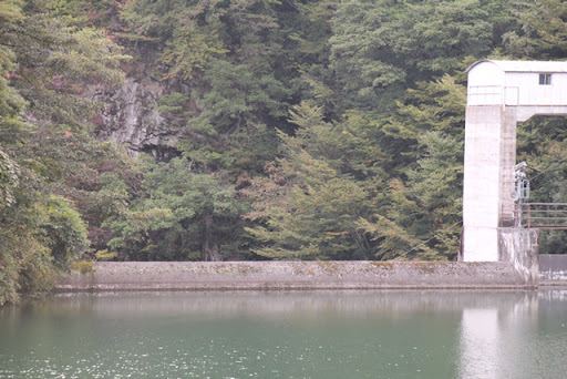
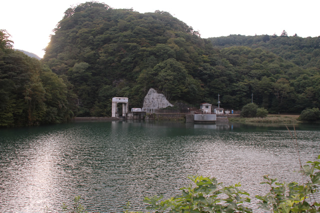
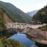
View of the dam lake and embankment from the prefectural road
After leaving the Mikawasawa Dam (0588-Mikawasawa Dam/Mikawasawa Dam), we came to the Torobe Dam. The Torobe Dam is a dam dedicated to power generation by the Tokyo Electric Power Company (TEPCO).
Zoom in on the levee

Unfortunately, however, it is not possible to see the levee up close.
Zoom in further
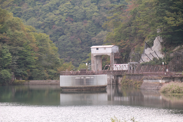
The circular intake screen is impressive.
Dam and Miscanthus #1

In this picture, the dam is not the main focus.
Dam and Miscanthus #2
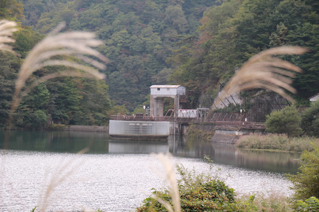
How about this? w
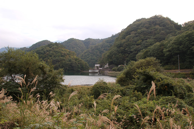
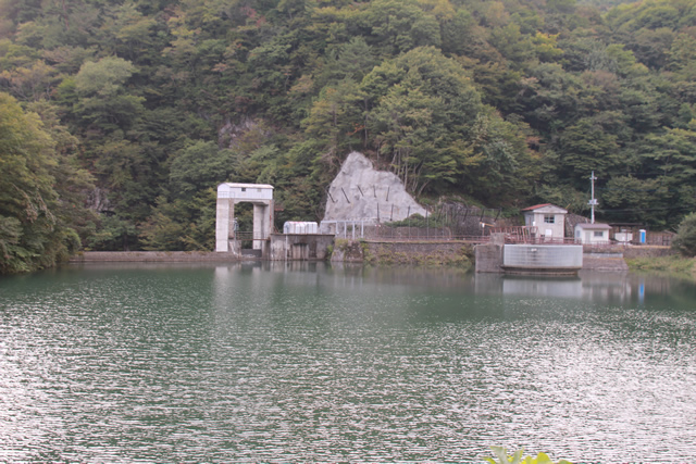
View of the dam lake from the prefectural road

Moving on a bit. I can manage to get the whole picture here. But this is the limit.
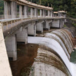
View of the dam lake and embankment from the prefectural road
Looking from here, from right to left, it appears to be an intake screen, roller gate, and free overflow flood discharge.
Zoom in on the levee
It's not a very different picture....
Water intake screen
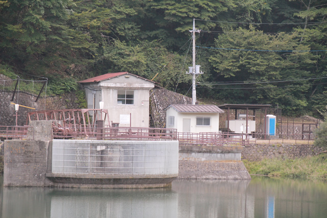
Oh, I see a temporary toilet.
Flood discharge
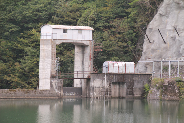
I see some dents on the right side of the roller gate. What is that?
Free overflow flood discharge

When overflowing, perhaps it will be like the Komori Dam (0598-Komori Dam/Komoridamu) in Gunma?
dam characteristics
| River Name | Tone River System Torobe River |
|---|---|
| Objective | generation (e.g. power) |
| Model | gravity-fed concrete dam |
| Bank height | 21.6m |
| Bank length | 56m |
| Dam volume | 8,000m3 |
| Watershed Area | 198.6 km2 |
| Reservoir area | 4 ha |
| Total storage capacity | 225,000m3 |
| Effective water storage capacity | 130,000m3 |
| Dam operator | Tokyo Electric Power Co. |
| Main body constructor | Taisei Corporation |
| Year of launch | 1961 |
| Year Completed | 1963. |
Other facilities/observations
Rumor has it that there is a path that takes you closer to the embankment, but you will probably have to paddle through the bushes. Also, if you take the wrong path, you will end up on the cliff, so it is safer not to go too far.
| Parking lot | × |
|---|---|
| Toilet | × |
| Park | × |
| PR Exhibition Hall | × |
| Fishing | × |
Comment