
Date of interview: Saturday, 12/31/2012
After completing the first day at the Hata River Dam, we stayed overnight in Ayabe, visited the Yura River Dam on the first unit of the second day, and stopped at the Wachi Dam on the second unit.
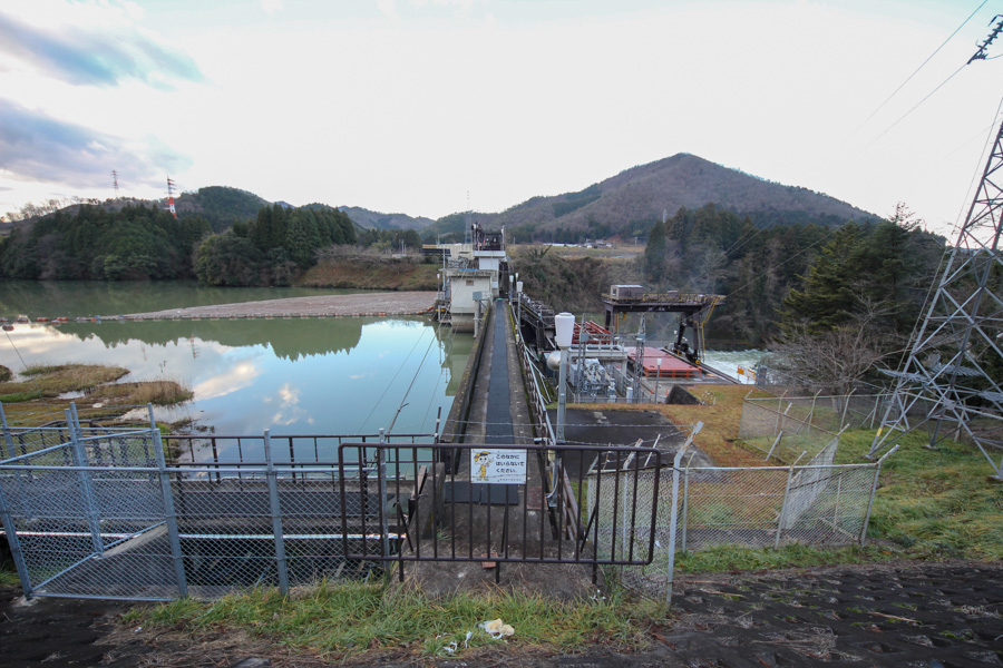
View of the levee downstream from the right bank
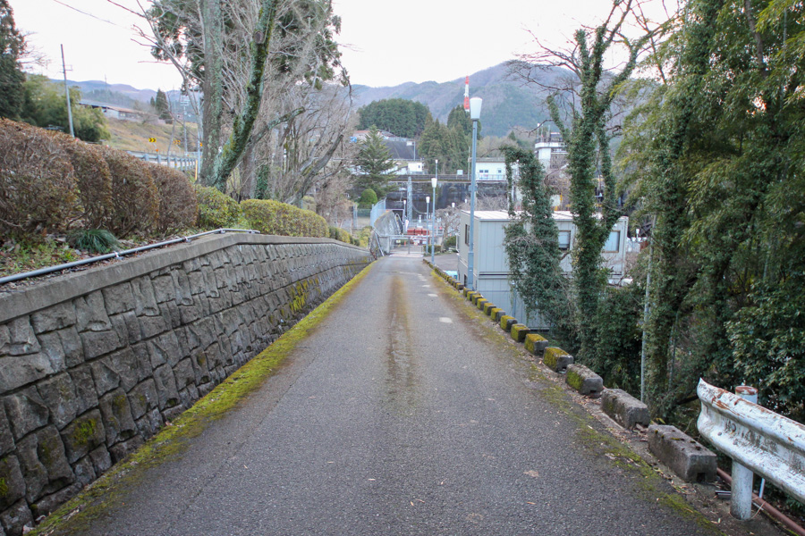
The right bank of the river is the national highway, but as we go south from the Yurakawa Dam, we find a spot where we can pull over to the shoulder of the road and park there. However, there was no room to enter and we had a hard time.
Move a little upstream
The top edge is also off limits. Hmmm...
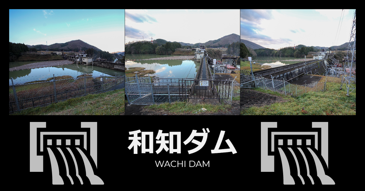
View of the top edge from the right bank
I felt that I could not come back once I crossed the guardrail, so I continued photographing from the national highway. In this way, the width of the embankment top seems much narrower.
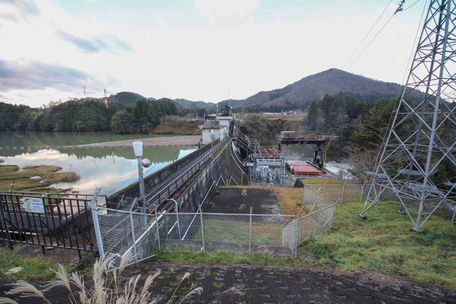
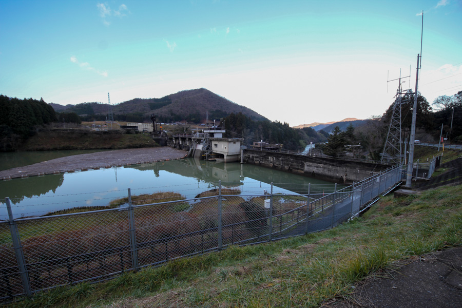
View of the upstream bank from the right bank
The upstream side is clearly visible. You can see a screen around the center of the dike, and it appears that the water is being taken from there. If you look closely under the building on the right side of the screen, you can see a boat. I think this is the first time I have seen a dam with a boat stored in such a place.
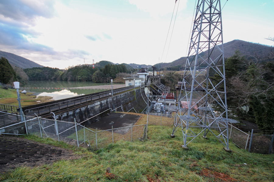
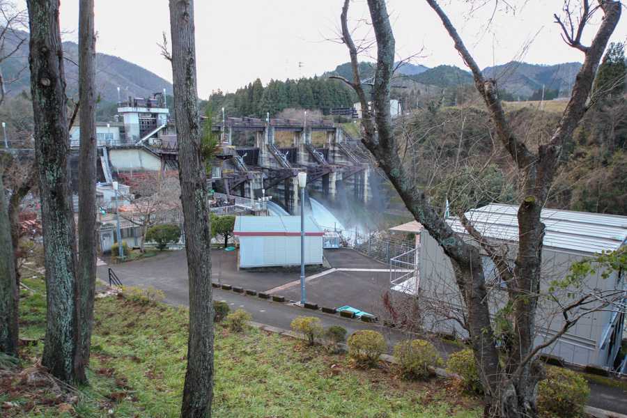
View from the right bank near the crest gate on the downstream face
We moved downstream. To my surprise, they were releasing fish! However, it is disturbed by various things. I want to see it at close range...!
Incidentally, the size of the crest gate is 12 m high and 9 m wide.
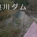
Wachi Dam discharge animation
The video of the discharge is also available for your viewing. (It is a very short video.)
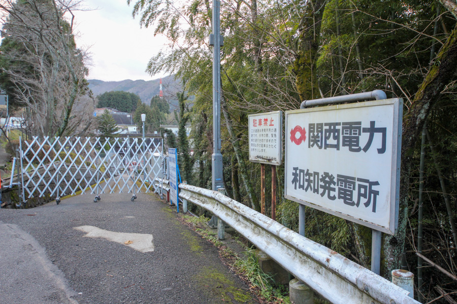
Entrance to Wachi Power Station of Kansai Electric Power Co.
We looked for a photo point, but unfortunately the entrance to the power plant was also closed by a gate.
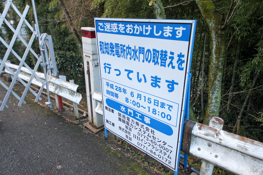
construction sign
It appeared that the gate was being replaced. However, the entrance was closed simply because it was New Year's Eve.
By the way, there was a tragic accident at the Wachi Dam on July 2, 1967, when torrential rains washed out the third gate. The cause of the accident was attributed to the static buckling and collapse of the footing of the gate due to lack of structural strength, but the cause of the accident has been pursued since 2000 and has been summarized in a paper.


The gate was pushed downstream to 130 m and was lying on the river bed with the skin plate facing upward. The accident also caused the peak discharge flow to reach 780 m3/s, and one angler was killed when he failed to escape.
View of the ramp from the gate to the power plant
I would like to get closer, but there is no use in begging for something that is not there. I will revisit when I have a chance.
Wachi Dam Specifications
| Location | Aza Shimono, Obata, Kyotanba-cho, Funai-gun, Kyoto |
| River Name | Yura River System Yura River |
| Objective | P(Power generation) |
| Model | G(gravity-fed concrete dam) |
| Bank height | 25.2m |
| Bank length | 141m |
| Dam volume | 24,000m3 |
| Watershed Area | 573km2 |
| Reservoir area | 56 ha |
| Total storage capacity | 5,119,000m3 |
| Effective water storage capacity | 1,286,000m3 |
| Dam operator | Kansai Electric Power Co. |
| Main body constructor | Morimoto Gumi |
| Year of launch | 1961 |
| Year Completed | 1968. |
| Name of Dam Lake | - |
Other facilities/observations
| Parking lot | × |
| Toilet | × |
| Park | × |
| PR Exhibition Hall | × |
| Fishing | △ (100 m downstream of Wachi Dam is a no-take zone) |
Comment