
Location: Tonguyama, Oaza Tongu, Tsuchiyama-cho, Koka City, Shiga Prefecture
Date of interview: Monday, 12/06/2010
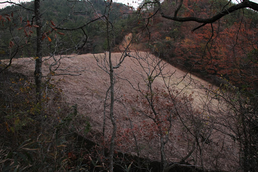
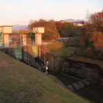
View of the levee downstream from the right bank

After leaving the Hinogawa Dam, the next destination was Tongu Pond, an earth dam selected as one of the "50 Best Reservoirs in Shiga. From the Hinogawa Dam, take Prefectural Road 41 south and you will see it on your left, but be careful when driving as the road narrows at some points along the way.
Incidentally, I completely forgot that Kamakake-ike Pond was on the way to the site, and I missed it.
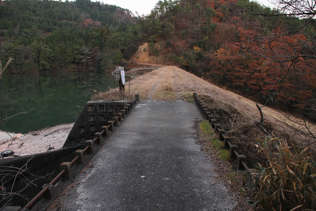
View of the top edge from the right bank
The name is probably derived from the nearby Tarumi Saio-Tongu site.
It is a common reservoir-type earth dam.
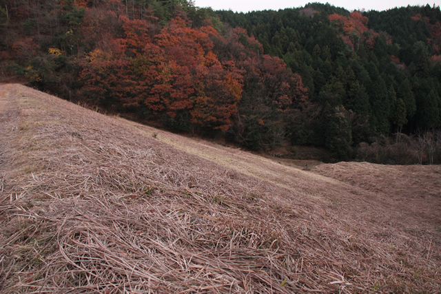
View of flood discharge

It was December, but it looked like late fall, and reddish-brown leaf debris was pooling in the flood discharge. If it had been overflowing, the appearance might have looked beautiful.
View of the conduit

The conduit gently curves to the left over a long distance.
View of the levee downstream from the top of the right bank
It appears to be somewhat cared for. What do you think is actually going on?
View of the embankment on the lake side from the top of the right bank
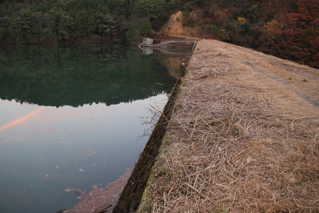
The lake is quiet.
View of water intake facilities on the left bank
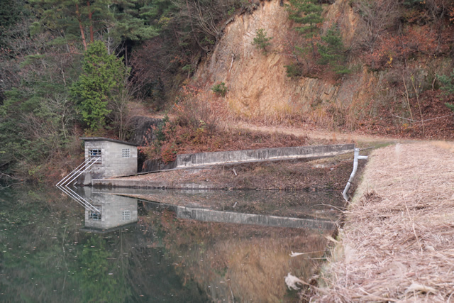
An important dam that supports local agriculture and farmers. And its water intake facilities.
View of the dam lake from the top
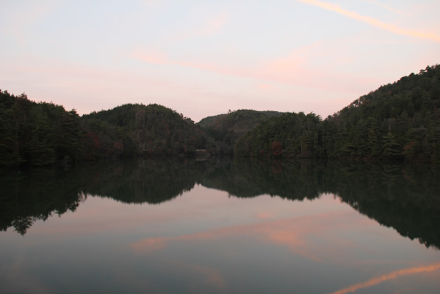
The sun had completely set. We left Tongu Pond for the last time that day and headed back home.
Tongu Pond Specifications
| River Name | Yodo River System Yodo River |
|---|---|
| Objective | irrigation water |
| Model | earth dam |
| Bank height | 22m |
| Bank length | 115m |
| Dam volume | 82,000m3 |
| Watershed Area | 0.9km2 |
| Reservoir area | 2 ha |
| Total storage capacity | 320,000m3 |
| Effective water storage capacity | 320,000m3 |
| Dam operator | Koukama District Land Improvement District |
| Main body constructor | - |
| Year of launch | - |
| Year Completed | 1965. |
Other facilities/observations
| Parking lot | △ | There is space for cars to park at the dam site, but please note that it is rather narrow. |
|---|---|---|
| Toilet | × | |
| Park | × | |
| PR Exhibition Hall | × | |
| Fishing | ? |
Comment