
Location: Aza Kitayama, Tarui Town, Fuwa-gun, Gifu Prefecture
Date of interview: Wednesday, 08/18/2010
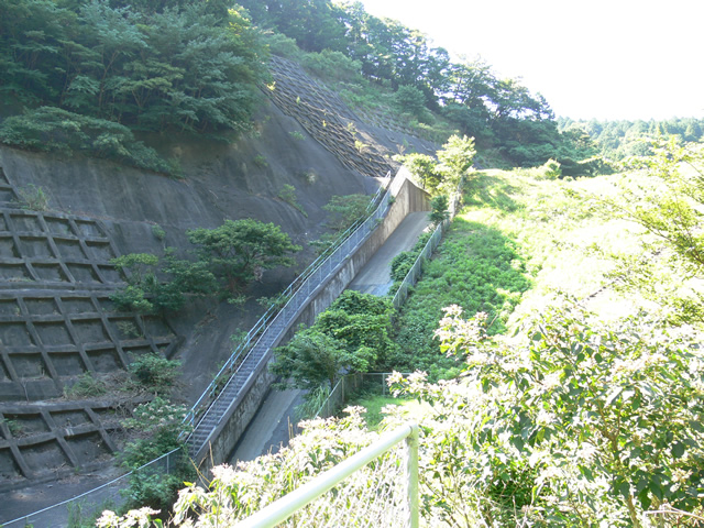
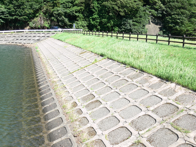
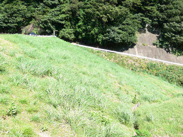
View of the levee downstream from the left bank
We visited Otani Pond in Tarui Town, next to Sekigahara City, which is famous for "Sekigahara in the Land of the Rising Sun. Ootani Ike is located a little ways into the woods, so there is a possibility that the path is not marked on the map. I got there by relying on my intuition, but to be honest, I got a little lost on the way (laugh).
Also, some parts of that forest road were gullied, so we do not recommend vehicles with low vehicle height. In that case, we recommend that you come on foot from the front of the forest road.
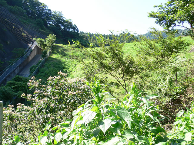
But summer is in full swing! The grass and trees are overgrown, as you can see....
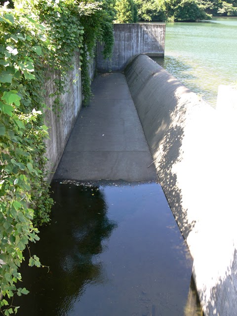
View of the reduction work
We could not get any closer to the reduction work, so we could hardly see it.
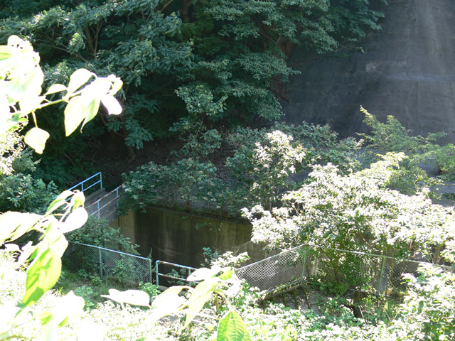
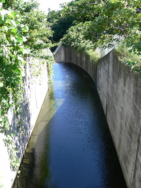
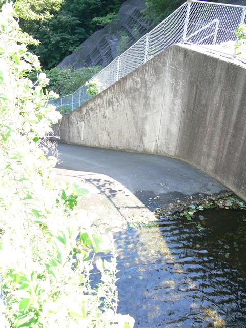
View of the conduit
I managed to take this shot while avoiding the cobwebs at this location as well.
View of the levee downstream from the left bank
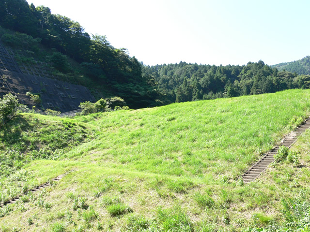
All over the greenearth damOh, my God! It's a bit on the larger scale, so the levee body is magnificent.
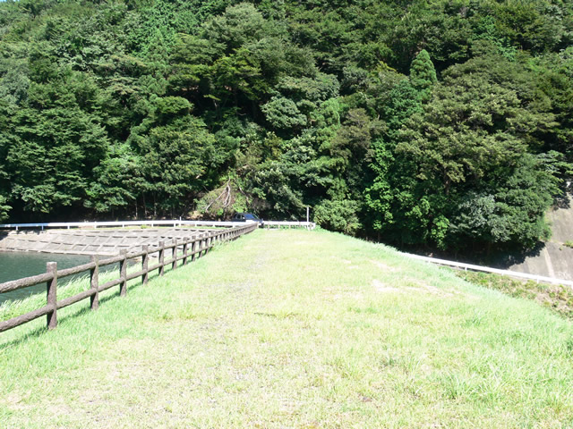
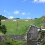
View of the top edge from the left bank
There are no fences and the atmosphere is free to visit. However, please visit with good manners and in the position of the administrator.
View of the levee downstream from the top

There are stairs on the embankment, but I hesitated to go down the stairs because I felt it was somehow wrong to do so. (Sorry, I did not go down the stairs after all.)
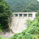
View of the flood discharge from the top
It is a typical earth dam flood discharge that flows naturally when water volume is high.
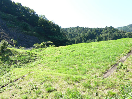
View downstream from the top

A glimpse of the Tarui Town city center can be seen over there. If there were no trees, the Shinkansen might have been visible.
View of the top edge from the right bank
It would be fun to run a race.Top (Crest)(I know that sounds a little moronic...)
View of the dam lake from the top
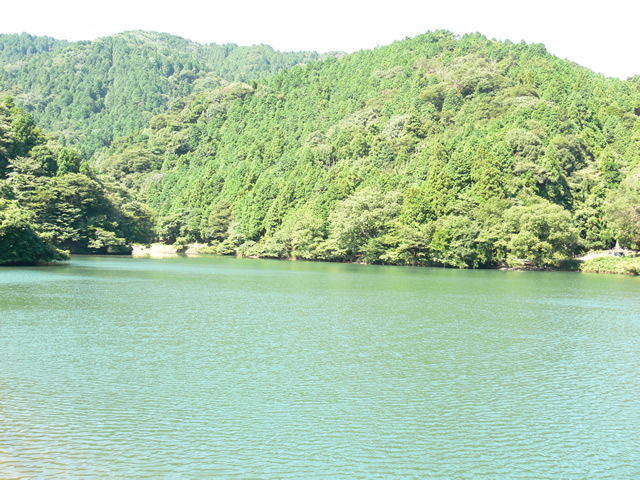
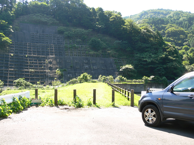
It is secluded with no visitors, but it is a little disturbing to see a car parked upstream.
View of the embankment on the lake side from the right bank
The dam lake side is nicely intercepted.
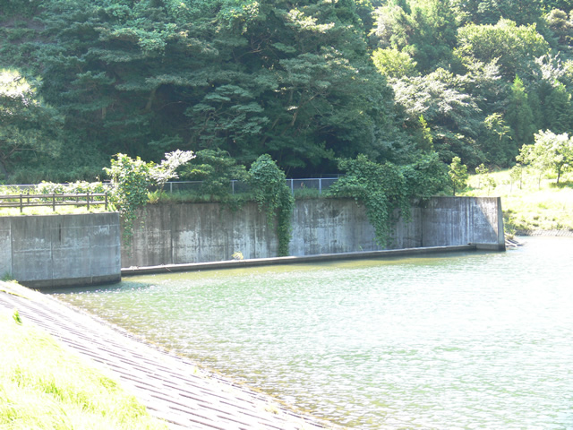
View of flood discharge
The upper part of the flood discharge is like a bridge, so you can see the dam lake side and the downstream side. Even if it is an earth dam, I would like to see the water flowing!
View of the conduit
There is water, but it is not flowing; it seems to be stagnant.
View from the right bank toward the middle of the embankment
I'm going to go down the dike slope for a bit. However, it was a mistake to come here in sandals. My feet were itching.
View of the conduit
This is the limit to see the conduction area.
View of the levee downstream from the right bank

Although small in scale, it is powerful in its own way.
Looking downstream

It is hard to see because of the overgrown grass, but it looks as if there might be a sub-dam in the foreground. Is the water flowing from the left coming from the intake?
signboard

Finally, I snapped a shot of the Ministry of Agriculture and Fisheries sign that I often see.
dam characteristics
| River Name | Kiso River System Aikawa |
|---|---|
| Objective | outside the control or jurisdiction (of) |
| Model | earth dam |
| Bank height | 18.7m |
| Bank length | 82m |
| Dam volume | 86,000m3 |
| Watershed Area | 117 km2 |
| Reservoir area | 4 ha |
| Total storage capacity | 161,000m3 |
| Effective water storage capacity | 161,000m3 |
| Dam operator | Tarui Town |
| Main body constructor | Directly managed by Oya Arable Land Consolidation Association |
| Year of launch | - |
| Year Completed | 1914. |
Other facilities/observations
You can drive to the dam, but you may want to refrain from using a low-height car.
| Parking lot | ○ |
|---|---|
| Toilet | × |
| Park | × |
| PR Exhibition Hall | × |
| Fishing | ○ |
Comment