
Date of interview: Saturday, November 9, 2013
On that day, there was a tour of Kawakami Dam in Mie Prefecture before the construction of the main body had started, so we decided to visit other dams we had not yet visited before moving to the site. Takeya Pond was the first dam of the day. Takeya Pond is located a little further back from the Iga Drive-in on the Meihan National Highway (R25).
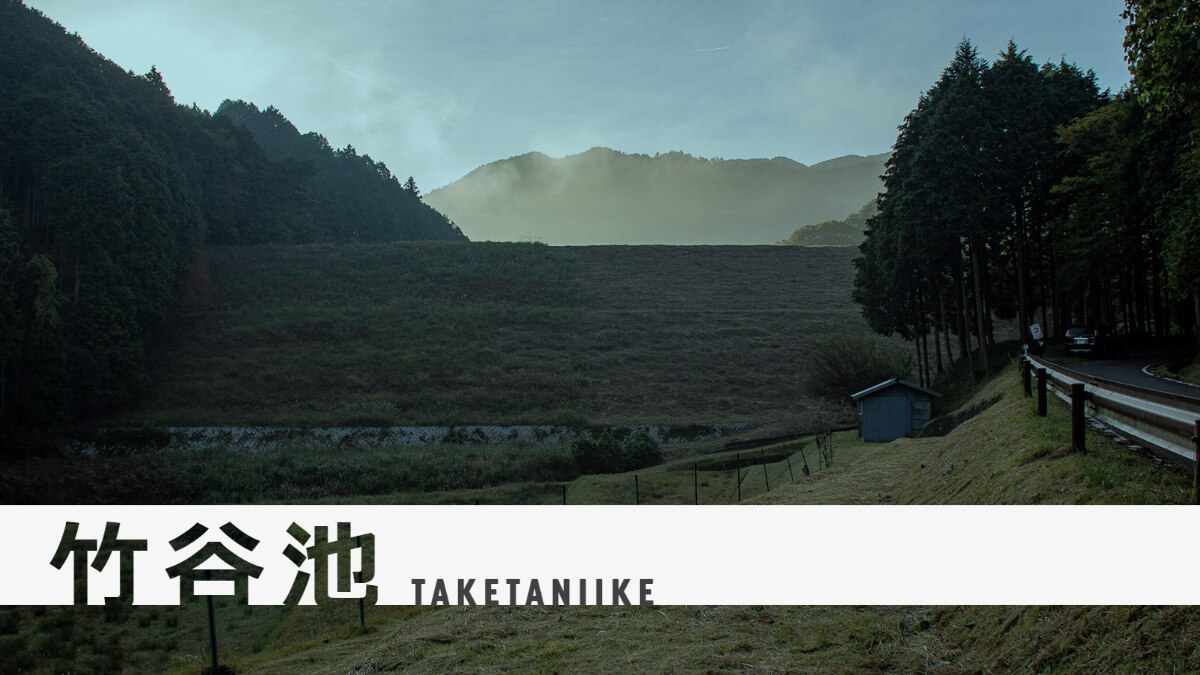
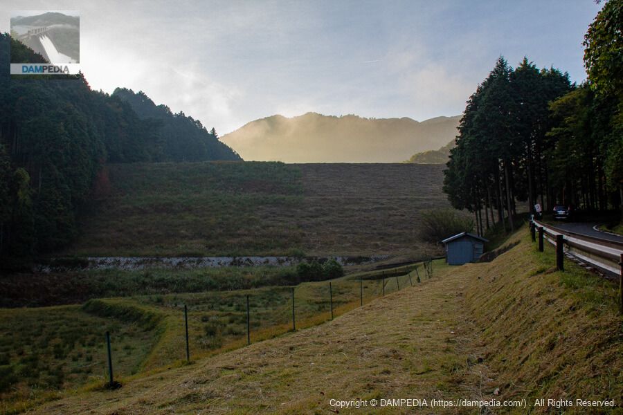
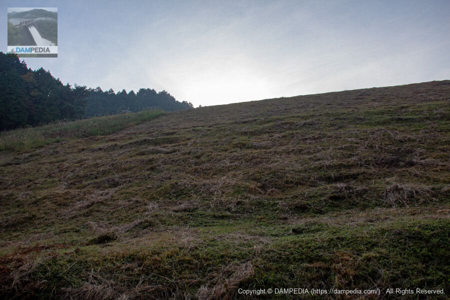
Downstream view of the levee from the road on the left bank
Takeya Pond is an earth dam dedicated to irrigation water. At this time, before 8:00 a.m., the situation was somewhat backlit and the sun was hidden behind the mountains, but it looks as if a haze was coming from the reservoir. The embankment was in the process of being mowed, or perhaps only half of it could be seen mowed.
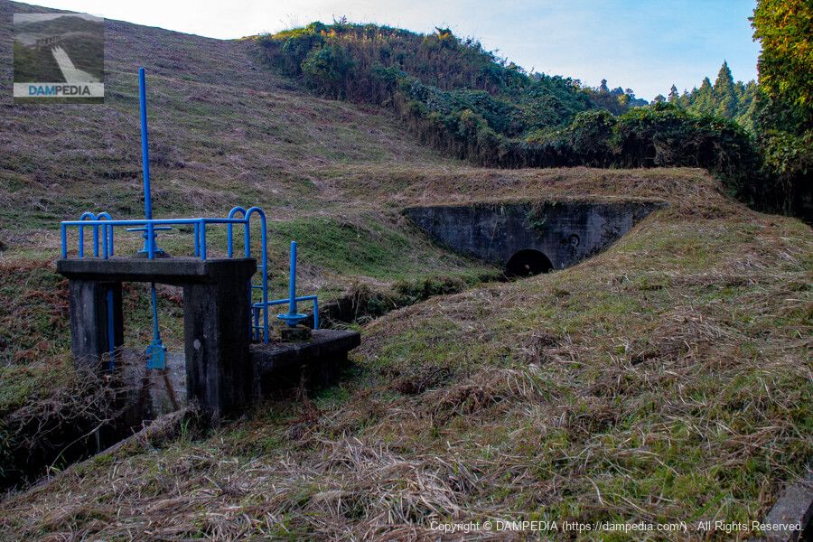
Sluice gate and irrigation channel
The waterway in the front is the river from the spillway, and the one in the back is the waterway from the intake facility. The name of the river in the dam handbook is the Tsuge River, but the main channel of the Tsuge River flows through a different place, and the channel in the front joins it, so I think the name is different. However, this is unknown because there is no information on this river in the river data of the Ministry of Land, Infrastructure, Transport and Tourism.

The dam handbook lists the height of the embankment as 22 m and the length of the crest as 208 m, but the Mie Prefecture Reservoir Database lists the height as 23.3 m and the length of the crest as 108 m.
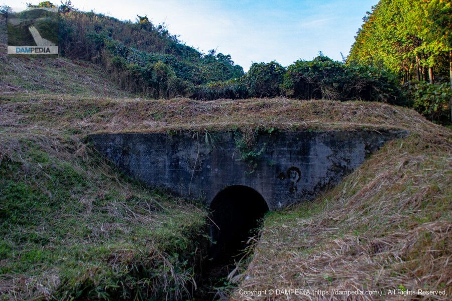
Water conduits and sluice gates
It appears that the water flows from the intake facility to here through a tunnel conduit.
conduit
A simple portal.
Looking downstream from just below the levee
Did they mow the other half of the grass after this? The mowing is proof that the land improvement district is taking good care of this dam.
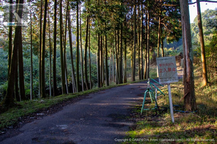
Entrance to the skyline
After looking at the downstream side for a while, we decided to look around the top edge, but unfortunately, the area was off-limits to everyone except those concerned from here on. There is a telephone number of the Land Improvement District on the signboard, so I could have called them to check, but I was not that attentive at the time, and I was pressed for time, so I decided to stop there. I would like to revisit the site when I have a chance.
Takeya Pond Specifications
* The data is based on the Mie Prefecture Reservoir Database.
| Location | 5878 Aza-Takeya, Tsuge-cho, Iga City, Mie Prefecture |
| River Name | Yodo River system Tsuge River? |
| Objective | A (irrigation water) |
| Model | E(earth dam) |
| Bank height | 23.3m * |
| Bank length | 108m * |
| Dam volume | 87,000m3 |
| Watershed Area | 2km2 |
| Reservoir area | 2 ha |
| Total storage capacity | 215,000 m3 |
| Effective water storage capacity | 215,000 m3 |
| Dam operator | Tsuge Town Land Improvement District |
| Main body constructor | Sato Kogyo |
| Year of launch | - |
| Year Completed | 1960. |
| Name of Dam Lake | - |
Other facilities/observations
I assume that the off-limits status means that fishing is also forbidden.
| Parking lot | × |
| Toilet | × |
| Park | × |
| PR Exhibition Hall | × |
| Fishing | × |

Comment