

Date of interview: 2006/11/24
Location: Minabe-cho, Minamikoma-gun, Yamanashi Prefecture
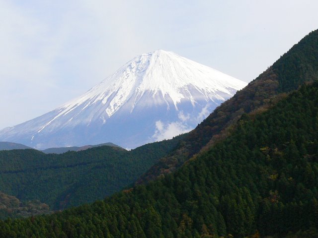
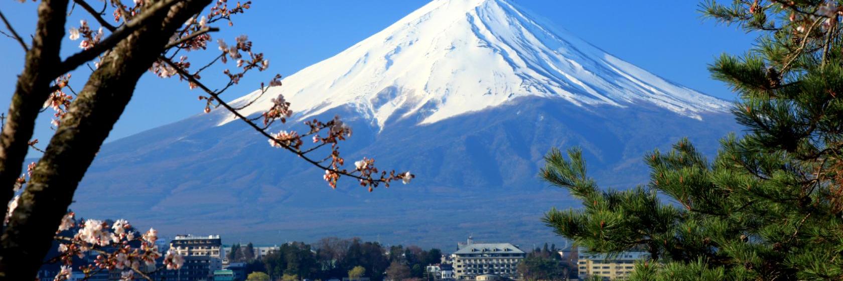
Fuji seen on the way
Kakimoto Dam is a dam from which one can see Mt. It has been a long time since I have seen Mt. After all, being the best in Japan is a good thing.
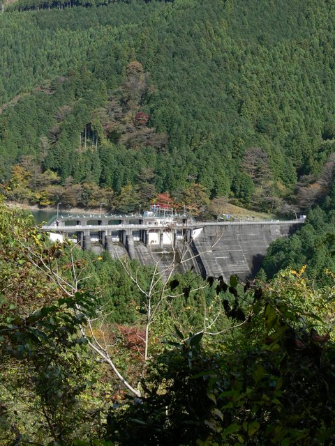
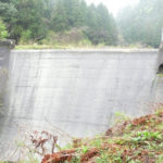
View of the embankment from downstream on the right bank
Kakimoto Dam isAmuhata DamLikewise, it is a rare dam owned by Nippon Light Metal, a private company that manufactures aluminum and other materials.
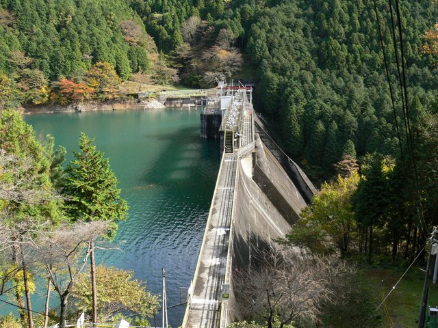
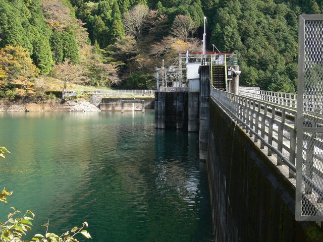
View of the levee from the high ground on the right bank
Climbing up to the high ground is a bit dangerous, so please do so at your own risk. I am not only physically fit, but also have less than average athletic ability, so it was quite a challenge for me to climb up to the top. But it was worth the effort when I saw this figure.
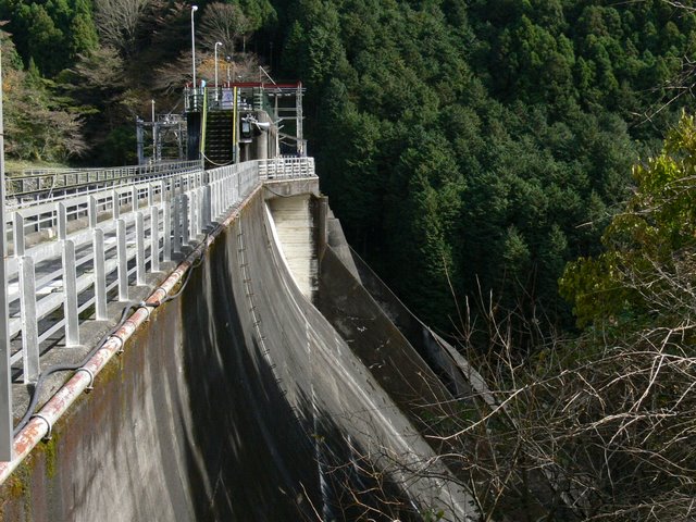
View of the downstream bank from the right bank
Because it is an old dam, the concrete is quite mossy, which gives it a nice flavor.
View of the embankment on the lake side from the right bank
The dam is used by a private company to generate electricity, so there are no facilities for people to see. There is no signage of any kind. The only sign is a sign indicating permission to use water.
However, the top edge may be entered without permission. Some people head out to climb the mountain from here.
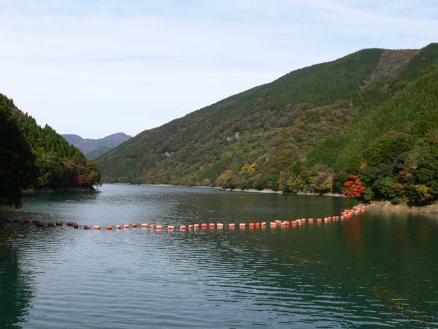
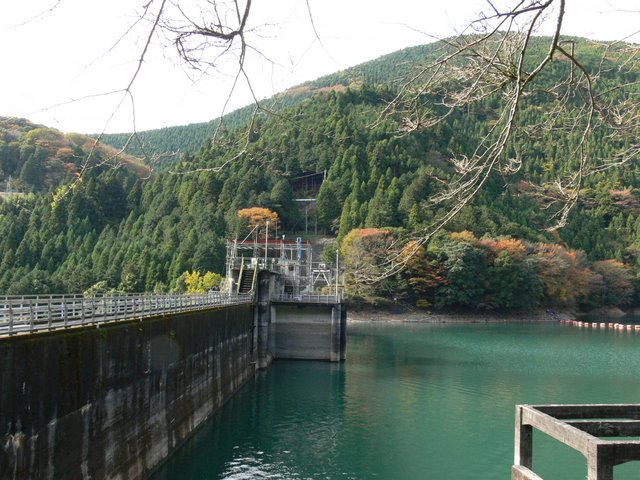
View of the dam lake from the top
The color of the water in the dam lake was the color of fresh green. It is also a dam that maintains serenity. The dam lake is called Lake Tenko, named after its water source, Mt. It is a rugged dam, yet the name of the dam lake is very angelic.
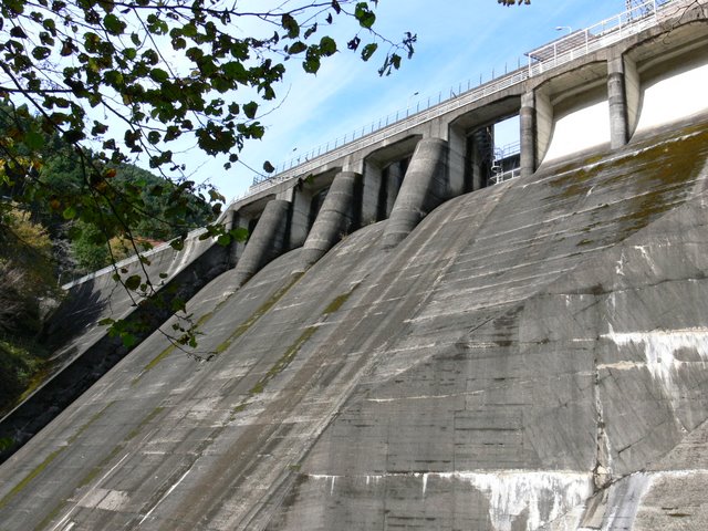
Flood discharge gate
It is a roller gate, just like it should be. There are five gates. This gate is Gate 5 at the end of the right bank side.

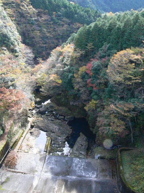
View downstream from the top
Normally, when water is released from the flood discharge, there is a structure called a force reducer, but this dam does not have such a structure. The riverbed may be as hard as bedrock. Even so, the downstream side of the dam is very rough.
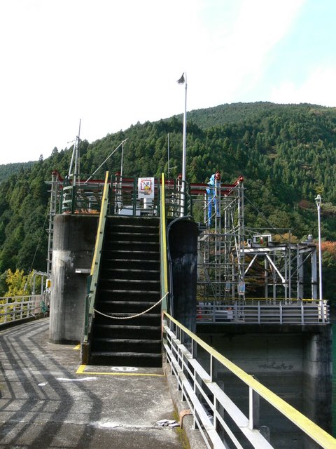
View of gate control unit from the top edge
It is difficult to see in this photo, but unusually, a management office is located above the top edge.
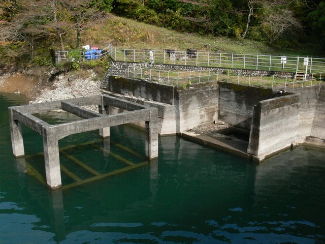
Mysterious Remains
It is unclear what it was used for, but it may have been a dust collector.
View of the embankment on the lake side of the dam from the left bank
Straight dam lake side embankment. There is no waste.
View of the levee downstream from the high ground on the left bank
There is also a high plateau here. Now I think, it did not fall well. Still, the dam seen through the trees is very nice.

View of the downstream bank from the left bank
A closer inspection revealed that it leads downstream. It is an old dam, so it has a rugged appearance, but it also has a good flavor.
Mystery valve
It was installed at the bottom of the downstream, but it does not appear to be a valve for discharge.

View of the dam lake from the left bank
A shot of the mysterious remains and the dam lake. It looks like the remains have somehow been submerged. In this way, it may now serve as a fishing reef.

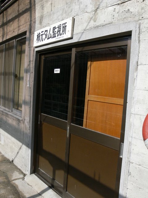
Kakimoto Dam monitoring station
And this is the surveillance station, not the control station, at the top end. Maybe I am being monitored too.
dam characteristics
| River Name | Fuji River System Sano River |
| Objective | generation (e.g. power) |
| Model | gravity-fed concrete dam |
| Bank height | 46.1m |
| Bank length | 215m |
| Dam volume | 93,000m3 |
| Watershed Area | 33.6 km2 |
| Reservoir area | 42ha |
| Total storage capacity | 7,592,000m3 |
| Effective water storage capacity | 7,185,000m3 |
| Dam operator | Nippon Light Metal Company, Ltd. |
| Main body constructor | Tobishima Corporation, Penta-Ocean Construction Co. |
| Year of launch | 1943. |
| Year Completed | 1952 |
| Name of Dam Lake | Lake Tenshiko |
Other facilities/observations
It has an aura of being somewhat difficult to enter, but you can tour it without worrying. If you take your time and look around carefully, you can enjoy the various flavors of this dam. It is not a dam intended for tours, so there are no facilities, but please be generous.
| Parking lot | × |
| Toilet | × |
| Park | × |
| PR Exhibition Hall | × |
| Fishing | ○ |
Accommodations that may be close to Kakimoto Dam

Comment