

Location: Kumarai, Kamihinachi, Nabari City, Mie Prefecture
Date of interview: 2005/4/16
Official website:.Kizugawa Dam General Management Office, Japan Water Agency
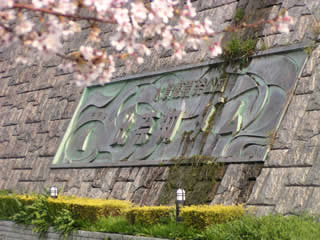
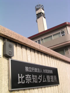
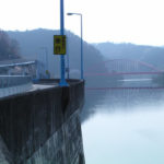
View of the nameplate from the right bank
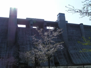
Here we are, at a dam in Mie Prefecture after a long absence, and it's 7:30 in the morning. It was 7:30 in the morning, and it had been a long time since I had been to a dam in the morning. The cherry blossoms were just about to fall.
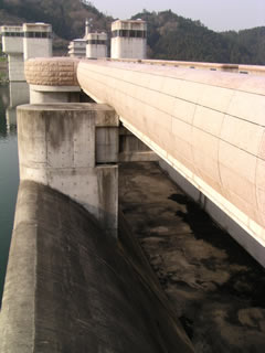
View of the top edge from the right bank
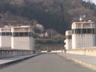
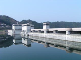
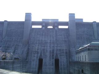
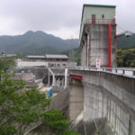
Anyway, it is huge. It has been a long time since I have seen such a large gravity type.
Downstream view of the levee from the right bank
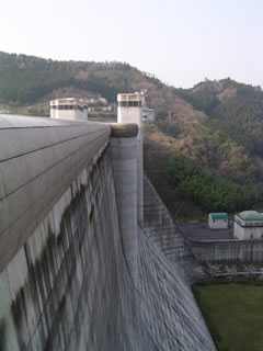
It is a thick-boned dam. But it is also somewhat feminine. It may be a motherly dam.
View of the dam lake from the top
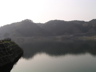
The morning haze is still a bit hazy, making the dammed lake somewhat magical.
View of the flood discharge from the top
This is the rumored side channel type.Flood dischargeThe flow is then diverted to the next outlet. Normally, in the case of free overflow, the water would flow as it is, but in the case of this type, the water is temporarily stored here before flowing, which may also play a role in reducing the flow.
View downstream from the top
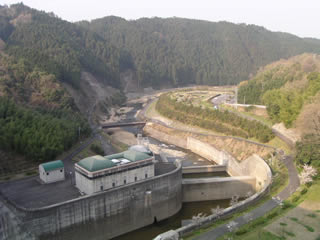 After the reduction work, the road turns to the left. The reduction work itself is also a two-tiered structure.
View of the top edge
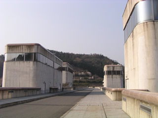
Anyway, it is spacious.
Now, press this ping pong.
I can't push it...orz.
View of the monument
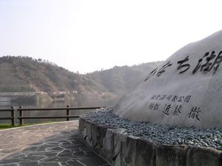
It is a magnificent stone monument, but the characters written on it, "Hinachiko," are somewhat soothing.
A true water mirror
Now, here is a parade of photos where I made a mistake in white balance. Because the monitor is backlit... (excuse).
entrance
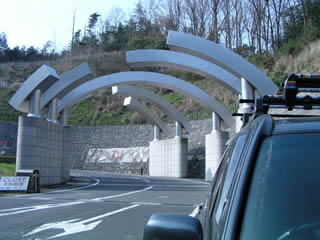
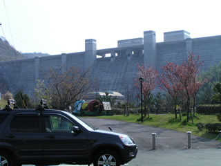
Now, let's get back on track and move on to the park downstream. This is the approach to the Hinachi Dam, which has an elaborately designed entrance.
water turbine
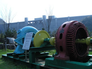
Let's see, horizontal axis Francis Honilla...
...Well, it is a water wheel for power generation (hey).
I mean, the color is terrible. The whole image is blue.... I wonder where and how I messed up the settings of my digital camera...
Anyway, grandeur
And anyway, it is blue.
Furthermore, it is backlit anyway.
I don't know what's going on...
This is not the Hinachi Dam! you must be a considerable Hinachi Dam fanatic.
I can't bear to look at it...myself.
View of the levee from the park downstream
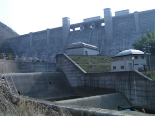
The two-tiered abatement structures were each quite different in height. I would love to see the river flowing through this area with great vigor.
Downstream park and levee
Well, the Hinachi Dam coverage was a bit of a dead end.
dam characteristics
| River Name | Yodo River System Nabari River |
|---|---|
| form (something takes) | Gravity Concrete |
| Objective | Flood control, agricultural disaster prevention and unspecified water, water for river maintenance, water supply and industrial use |
| Bank height | 70.5m |
| Bank length | 355m |
| Dam volume | 410,000m3 |
| catchment area | 75.5 km2 |
| Reservoir area | 82ha |
| Total storage capacity | 20,800,000m3 |
| Effective water storage capacity | 18,400,000m3 |
| Dam operator | Public corporation for water resources development, one construction |
| Main body constructor | Sato Kogyo, Japan Land Development Co. |
| Name of Dam Lake | lake lying in the sun |
| Year of launch | 1972 |
| Year Completed | 1998 |
| Access | Take Meihan National Highway (Route 25) and get off at Ueno IC. Heading south on Route 368 It is about 18 km from the Ueno IC. It will take you about 30 minutes to get there. |
Other facilities/observations
| Parking lot | ○ | In some cases, they also offer tours inside the levee. |
|---|---|---|
| Toilet | ○ | |
| Park | ○ | |
| PR Exhibition Hall | × | |
| Fishing | ? |
Comment