
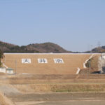
Location: Okusa, Koda-cho, Nukata-gun, Aichi, Japan
Date of interview: Saturday, February 26, 2011
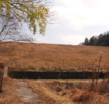
View of the embankment on the lake side from the right bank
Rikigairi Pond is an agricultural reservoir located near Kotozawa Adjustment Pond (1233-Kotozawa Chouseiike/Kotozawa Chouseiike) and was built by the local people.
View of flood discharge
It is not easy to approach the levee, perhaps because it is cherished by the local people. The flood discharge was also photographed through the fence. I was forced to take this picture, so I ignored the level.
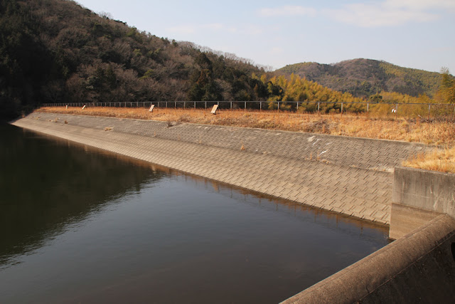
View of the ledge wall and dam lake
The ledge wall is also strangely high...why are there so many fishermen there?
I don't know where you enter from, but it looks like you can catch carp or spatulas. However, rumor has it that it is now closed to entry and fishing due to construction.
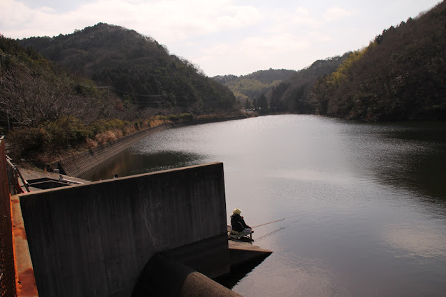
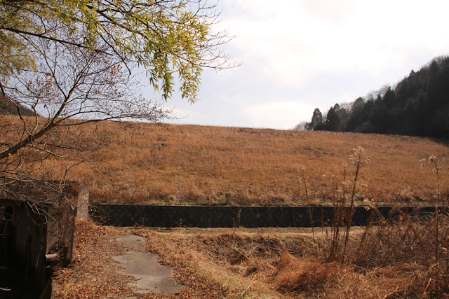
View of the dam lake from the right bank

Well, it is a picture.
Incidentally, the structure in the foreground is a water intake facility.
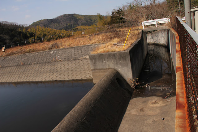
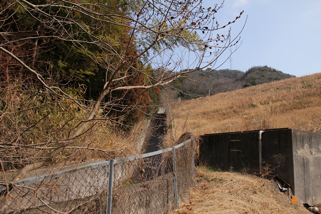
Entrance to the skyline

The entrance to the top end is tightly closed with a gate like this. Come to think of it, I think I climbed up the ladder in the photo to photograph the dam lake and flood discharge.
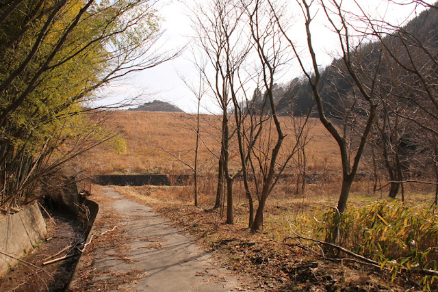
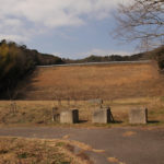
View of the levee from downstream
Then we move to the downstream side. However, it is difficult to see the entire image downstream, and when you are close to the river, the grass and trees in front of you may be included in the image.
View of the conduit
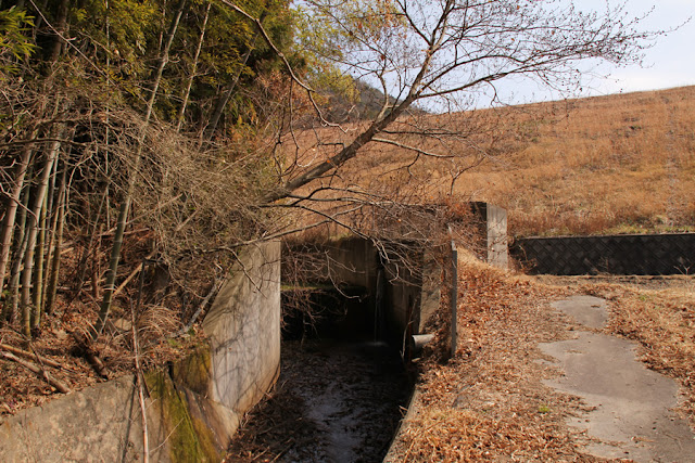
The conduit is built around a wooded area, but this seems to obscure the whole picture.... Well, it can't be helped.
View of the levee from downstream
Well, it is a very ordinary earth dam.
View of the conduit
It's very hard to photograph.conduitThe following is a list of the most common problems with the
View of the conduit

Zoom in further.
It looks somewhat wet, but the water level of the dam lake was not that high, so why was it wet?
Rikigairai Pond Specifications
| River Name | Yahagigawa River System Hirota River |
|---|---|
| Objective | outside the control or jurisdiction (of) |
| Model | earth dam |
| Bank height | 19m |
| Bank length | 95m |
| Dam volume | -m3 |
| Watershed Area | -km2 |
| Reservoir area | -ha |
| Total storage capacity | 35,000m3 |
| Effective water storage capacity | 35,000m3 |
| Dam operator | Noba District |
| Main body constructor | - |
| Year of launch | - |
| Year Completed | 1933 |
Other facilities/observations
| Parking lot | △ | There is a small parking space at the dam site on the right bank. As noted in the text, the current status of fishing is unknown. |
|---|---|---|
| Toilet | × | |
| Park | × | |
| PR Exhibition Hall | × | |
| Fishing | △ |
Comment