
Location: Hirao, Tarui-machi, Fuwa-gun, Gifu-ken
Date of interview: Wednesday, 08/18/2010
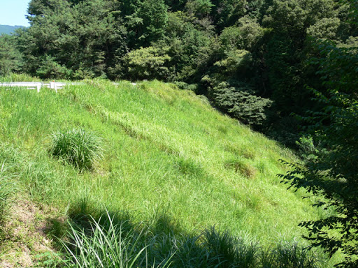
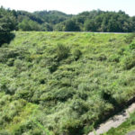
View of the levee downstream from the right bank
If you go further than Hirao No. 2 Reservoir (1051 - Hirao No. 2 Reservoir), you will reach Hirao No. 1 Reservoir, about 500 m away. As with No. 2, it is sometimes clearly marked as "Hirao No. 1 Dam" on some maps.
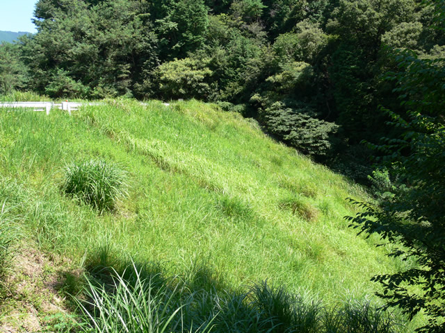
View of the top edge from the right bank
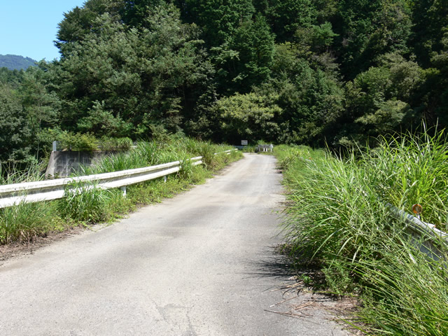
Probably No. 1 was also maintained as a set with No. 2 as a subsidized project by the Ministry of Agriculture, Forestry and Fisheries. The grassy area is the same here (laugh).
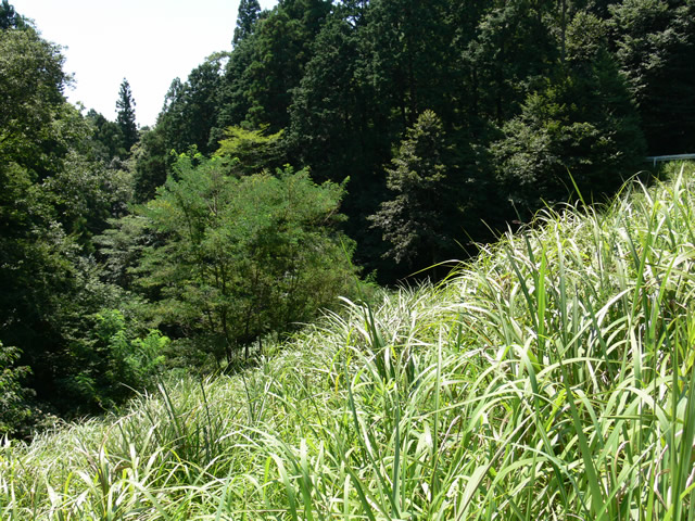
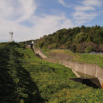
View of the dam lake from the right bank

As with No. 2, the lake is quiet. The incline can be seen near the flood discharge on the right.
View of the embankment on the lake side from the left bank
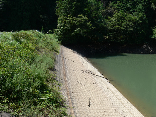
The embankment on the lake side of the dam is constructed differently from No. 2.
View of flood discharge
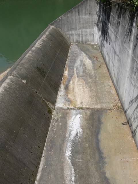
This is a flood discharge of the type often seen in earth dams.
View of the conduit
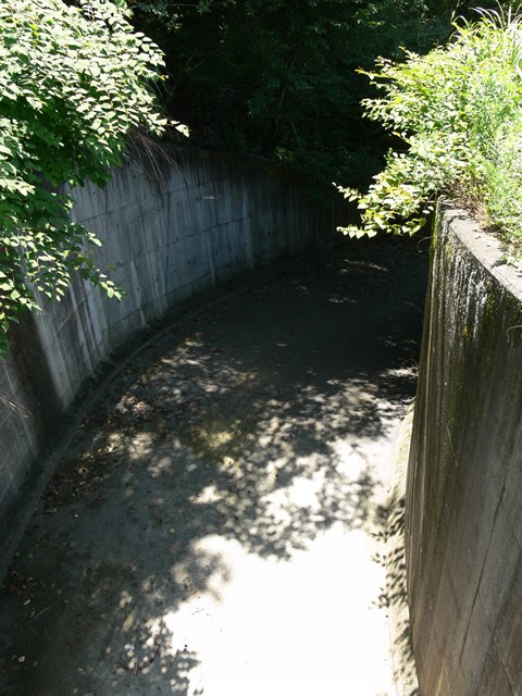
It turns to the right and is almost invisible due to grass and trees. It looks like a culvert.
View of the levee downstream from the top
It's not a bank! This is still a great dam! (Desperate)
View of the top edge from the left bank
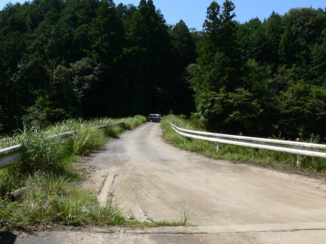
It's not in the middle of a mountain road or anything! This is still the top of a great dam! (Desperate)
Administrative stairs leading downstream

These are not just any stairs! These are still the administrative stairs of a great dam! (persistent)
dam characteristics
| River Name | Kisogawa River System Hanguse River |
|---|---|
| Objective | outside the control or jurisdiction (of) |
| Model | earth dam |
| Bank height | 19.9m |
| Bank length | 65m |
| Dam volume | 40,000m3 |
| Watershed Area | 76 km2 |
| Reservoir area | 2 ha |
| Total storage capacity | 160,000m3 |
| Effective water storage capacity | 160,000m3 |
| Dam operator | Fuwa-gun Northern Land Improvement District |
| Main body constructor | Directly managed by Northern Arable Land Consolidation Association |
| Year of launch | - |
| Year Completed | 1916. |
Other facilities/observations
No. 1 is more like a little brother; if you come to No. 2, be sure to visit No. 1 as well. The parking lot is the same as No. 2, so you park in the open space at the dam site.
| Parking lot | ○ |
|---|---|
| Toilet | × |
| Park | × |
| PR Exhibition Hall | × |
| Fishing | ○ |
Comment