
Date of interview: 2005/05/01
Location: Shimomade, Odai-cho, Taki-gun, Mie Prefecture
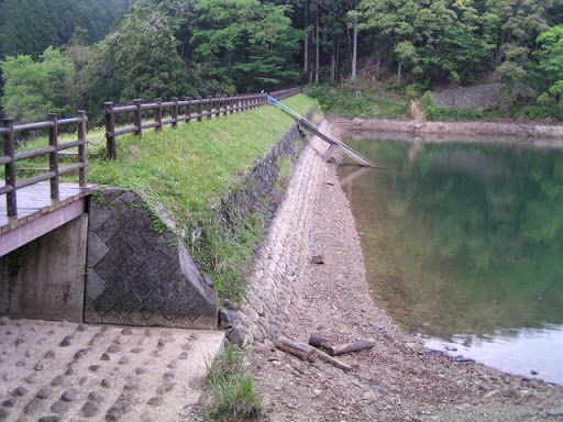
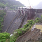
View of the embankment on the lake side of the dam from the left bank

I remember the weather was quite bad and it rained on and off, sometimes very hard. I think it is unavoidable because it rains a lot in this area, but I would prefer sunny days if at all possible. However, rainy days are not bad either, as they have their own charm.
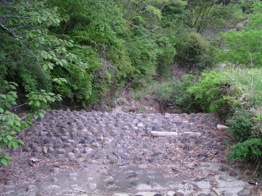
Flood Discharge or rather Residual Water Discharge
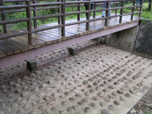
For some reason, there is a stone embedded in the flood discharge. We do not know the reason, but it may have a momentum-reducing meaning.
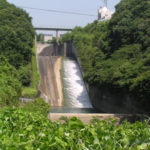
View of the downstream bank from the left bank
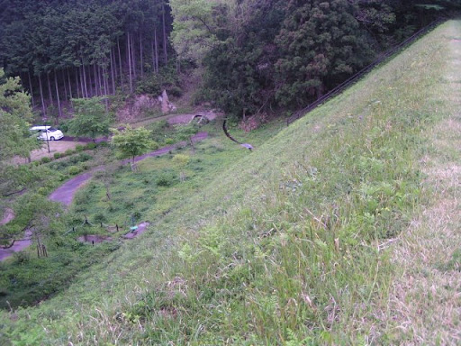
It is quite steep.
Stairs attached to the embankment
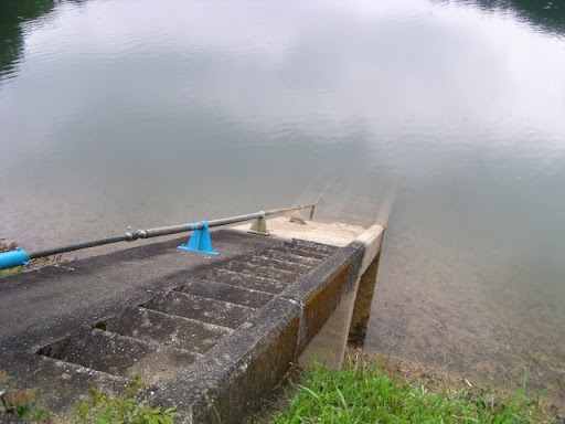
It is probably a maintenance staircase. The pipe-like structure on the left is said to be a water intake facility pipe.
View of the dam lake from the top

There is a bridge in the middle of the pond, which is pictured in the back. It is not a large pond, but it is deep in the mountains and full of nature. Fishing is prohibited.
View of the park downstream from the top
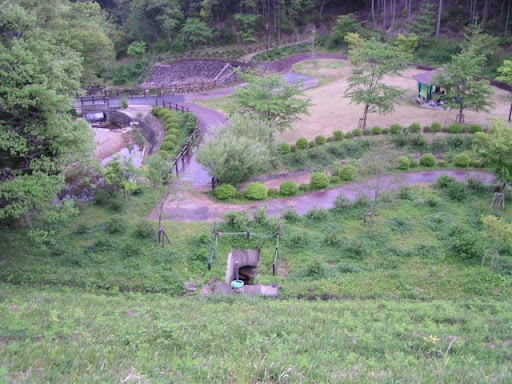
Sorry for the poor coloring of the picture as a whole. The pond is surrounded by a park, with playground equipment downstream. As expected, there was no way to play in this weather... However, on this day, there was a family barbecuing. Even though it was raining...
Flood discharge, or rather, the conduit section of a spillway.
I don't think it will flow in torrents.
dam characteristics
| River Name | Miya River System Miya River |
|---|---|
| Objective | irrigation water |
| Model | (electrical) ground |
| Bank height | 16m |
| Bank length | 60m |
| Dam volume | 9,000m3 |
| Watershed Area | 0km2 |
| Reservoir area | 0ha |
| Total storage capacity | 60,000m3 |
| Effective water storage capacity | 60,000m3 |
| Dam operator | Shimomate ward |
| Main body constructor | Directly managed by Shimoma District |
| Year of launch | - |
| Year Completed | 1877. |
Other facilities/observations
The dam has a park-like element where you can have a picnic on a nice day. You may want to bring your own lunch.
| Parking lot | ○ |
|---|---|
| Toilet | ○ |
| Park | ○ |
| PR Exhibition Hall | × |
| Fishing | × |
Comment