
Date of interview: Saturday, 1/4/2014
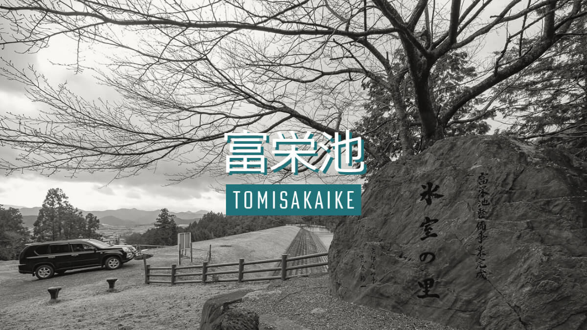
The last visit of the day was to Fuei-ike Pond. Like Mawari-ike and Nishigaya Dam, Fuei-ike is an important earth dam that supports agriculture.
Stone monument and embankment on the left bank
The stone monument reads "Icehouse Village. It is said that there was an icehouse nearby that was used to supply ice to the Imperial Court, and the fact that the name of the icehouse is engraved on the stone, rather than the name of a dam or reservoir, shows how important the area was to the people who lived there.

Looking upstream from the left bank
The upstream slope is protected by concrete blocks.
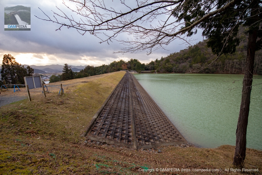
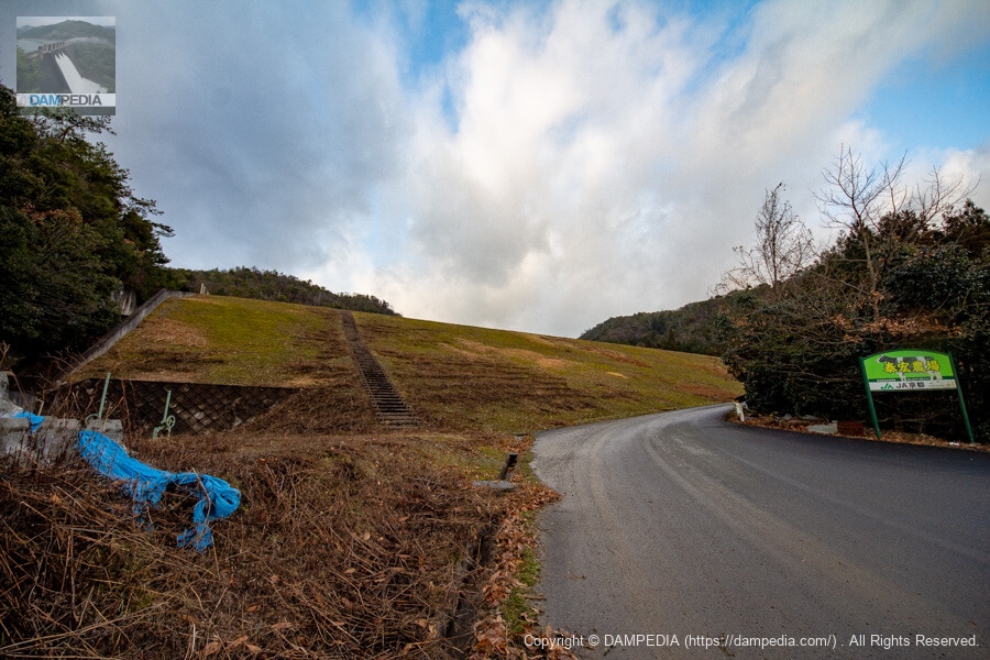
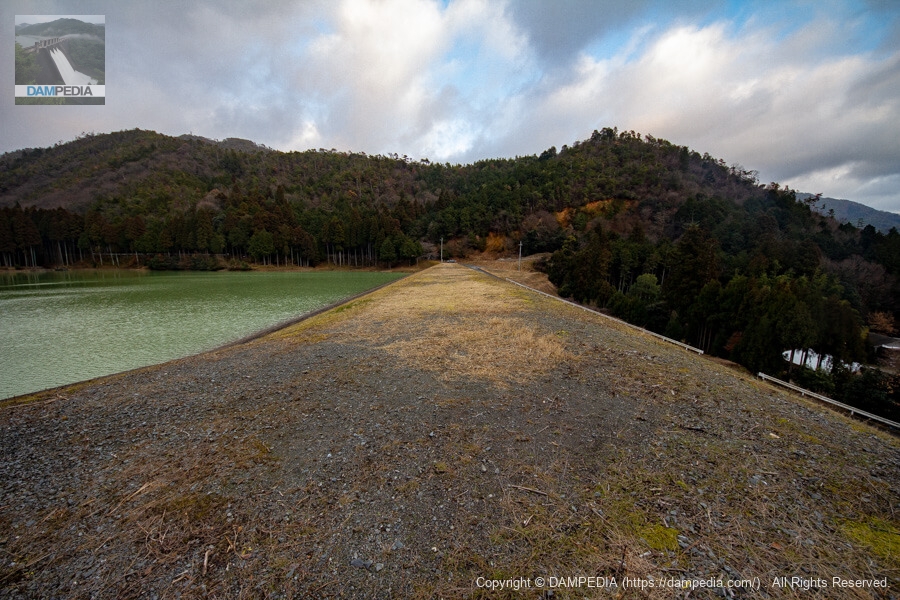
View of the top edge from the left bank
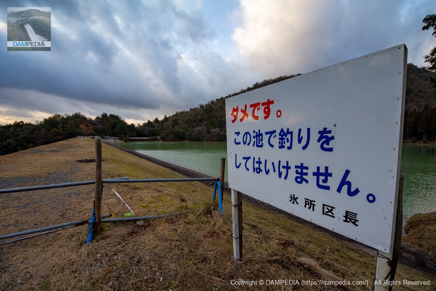
Fishing in the reservoir is prohibited. However, unlike the Nishigaya Dam, it was not fenced off.
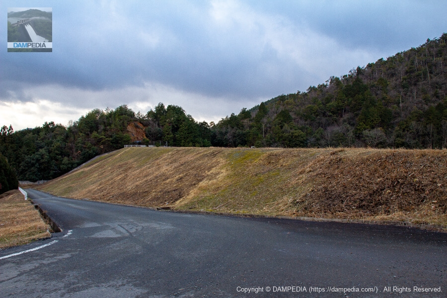
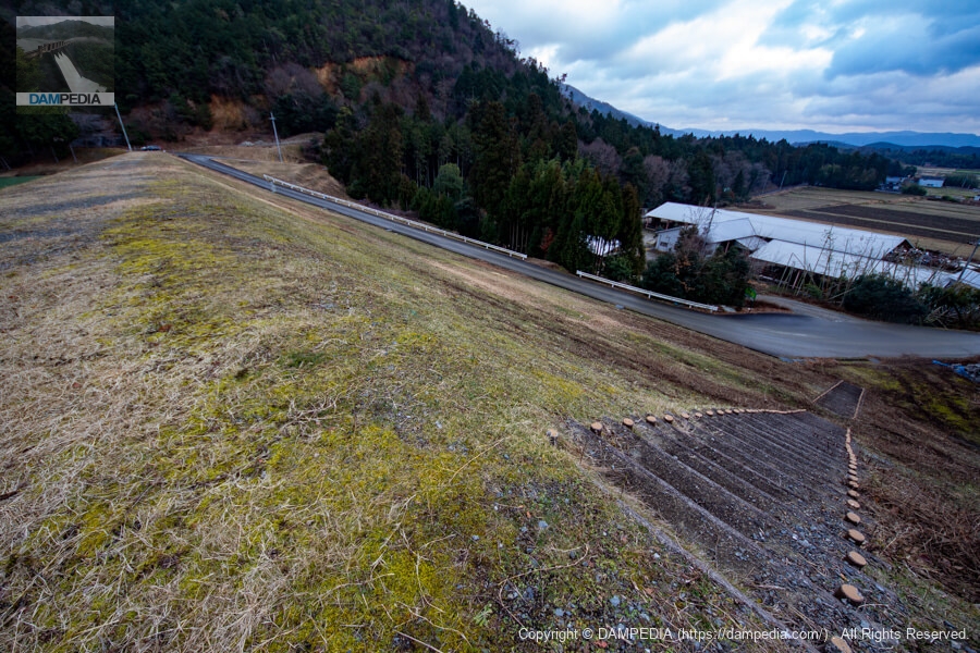
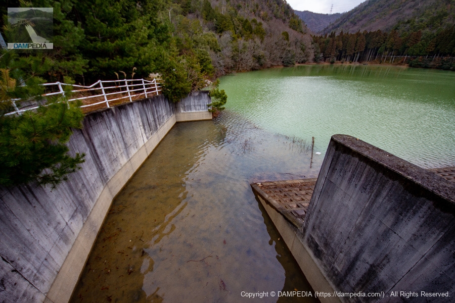
Looking downstream from the left bank
I thought it was a bit bold that the road crosses the downstream face of the levee and connects from the right bank downstream to the top level of the left bank.
Downstream farms
Just below the dike is a farm with cows.

View of the downstream face of the dike
This is how the levee and farm are positioned.
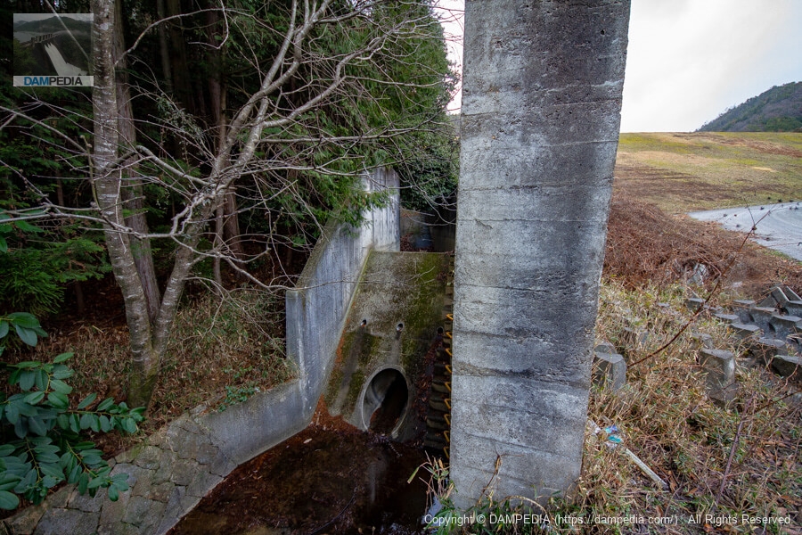
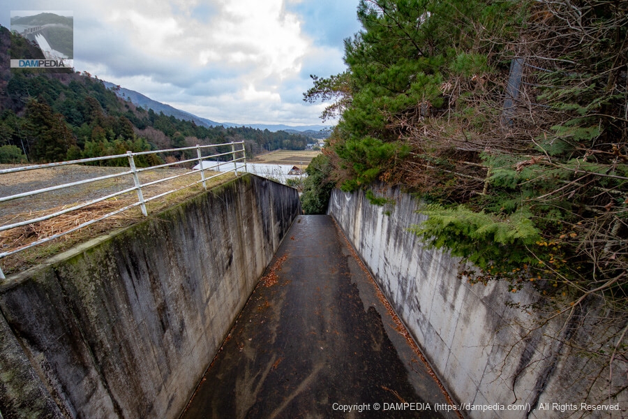
View of the conduction flow section
Fuei Pond was originally an old reservoir as well, but according to the dam handbook, it underwent a major renovation between 1993 and 1997.
According to the stone monument at the site, the project was carried out from 1990 to 1997 as part of the prefectural government's aging reservoir improvement project.
There is a mysterious concrete structure at the end of the conduit, perhaps a remnant of that structure, with what looks like a handle for operating the gate on top of it.

conduit
It is not possible to go any deeper, so it is hard to tell what is going on at first glance. There is something like a sub-dam, with a pipe at the bottom, but what kind of structure is it?
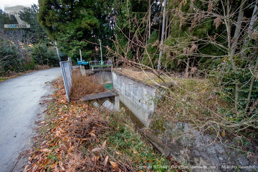
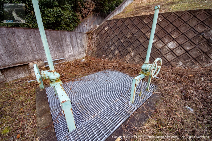
Waterways and Sliding Gates
Because it is an agricultural dam, there is a channel and a slide gate at the end of the conduit.
Slide gate
There is also an area just below the downstream face of the dike where a slide gate is stored as some kind of culvert.
Looking downstream of the dike from the bottom of the stairs on the right bank
A stairway is located on the right bank of the embankment. As there was no sign of any restriction on entry, we decided to climb them.

Looking downstream from the top of the levee
It seems to be built as a walking course for local residents.
View of the top edge from the right bank
It is a simple top end with nothing. There is no fence. The only thing that can be said is that there was a second class reference point covered by a concrete box.
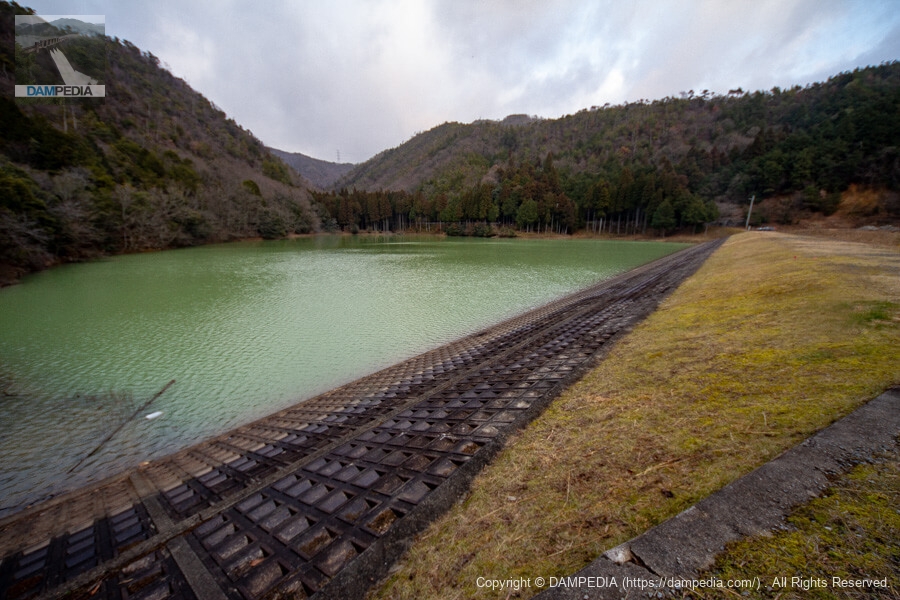
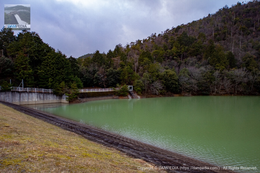
View of the upstream face of the embankment and reservoir from the right bank
It is a small reservoir. The backwater is immediately visible. Originally, the water in Fuyei Pond is said to be quite clean, and we often see it mentioned in blogs by non-dam enthusiasts, but unfortunately it was muddy on this day.
Also, I found by chance while searching the Internet that Fuei-ike Pond has been used for filming on location in several TV period dramas. You can see the precious Fuei-ike Pond before its renovation. (I don't know if this is correct, but it is for your reference.)
- Mito Komon Part 4 (1973)
- Mito Komon Part 10 (1979)
- Cutting down and getting rid of you! (1982)
- Hisshikushi Worker V (1985)
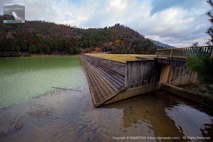
View downstream from the top
It is quite a large conduit in contrast to the size of the reservoir.
View of the spillway from the top
I thought it was a side channel type spillway, but there was no overflow weir here as there should be.
Looking upstream from the right bank
The overflow weir was located under the bridge. ...So it is not a side channel type but an overflow weir type?
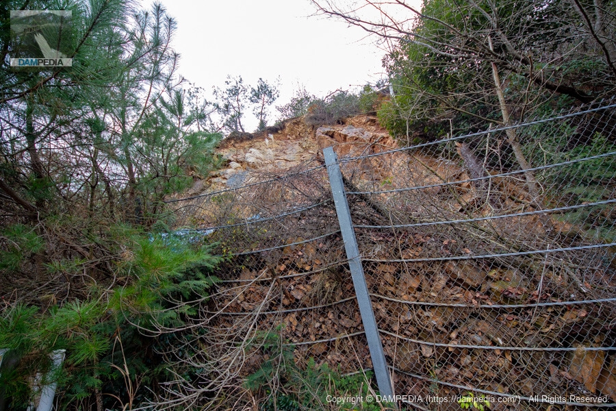
Ground mountain on the right bank
However, even if I wanted to wander around on the right bank, the landslide had collapsed and the fence was trapping the collapsed sediment and rocks. It's a little scary, even though it's not going to come crashing down over the fence anytime soon now. This was seven years ago as I write this article, and I'm a little curious to see what it looks like now.
View of the residual water discharge and intake system from the top of the building.
So we can see the intake system from a little distance. This is a slant-flume intake system, which is common in earth dams.
Looking downstream from the top
It was cloudy all day long, but in the evening the skies finally began to clear. The golden sunlight is beginning to shine through the clouds. Downstream, the fields fed by Fuei-ike Pond spread out.
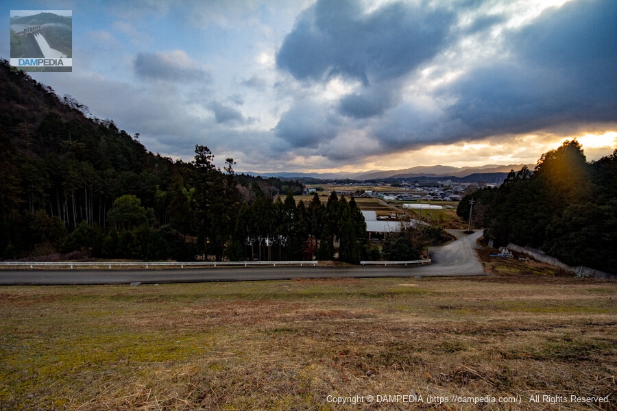
It was Fuei-ike, which has supported agriculture in the Yagi area of Nantan City for a long time and will continue to do so in the future.
FUEIKEI POND SPECIFICATIONS
Fuei-ike Pond also had a different embankment height between the dam handbook and the reservoir database. However, the Nantan CityMaterials included in the Nantan City Disaster Prevention Council Ordinance(PDF) lists the same values as the dam handbook, and I honestly don't know which is correct.
| Location | Hisho, Yagi Town, Nantan City, Kyoto |
| River Name | Yodo River system Furukawa |
| Objective | A (irrigation water) |
| Model | E(earth dam) |
| Bank height | 19.5m (dam handbook) 14.3 m (reservoir database) |
| Bank length | 161.4m |
| Dam volume | 82,000 m3 |
| Watershed Area | 1km2 |
| Reservoir area | 3 ha |
| Total storage capacity | 180,000 m3 |
| Effective water storage capacity | 180,000 m3 |
| Dam operator | ice district |
| Main body constructor | - |
| Year of launch | 1993 |
| Year Completed | 1997 |
| Name of Dam Lake | - |
Other facilities/observations
There is no dedicated parking lot, but there is space to park on the left bank. There is also a pavilion on the left bank.
| Parking lot | △ |
| Toilet | × |
| Park | × |
| PR Exhibition Hall | × |
| Fishing | × |
Comment